
Description
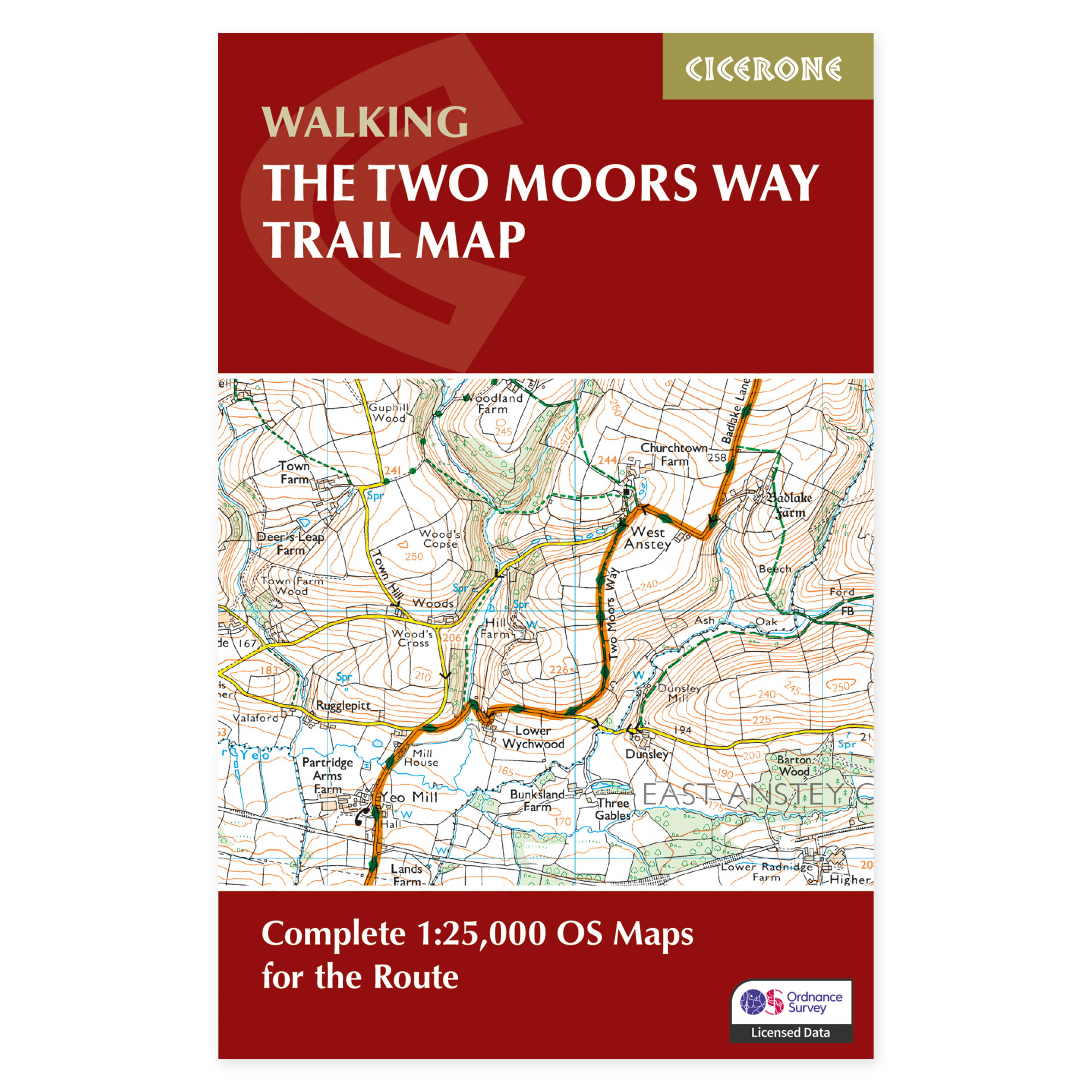
A complete set of maps through Devon.
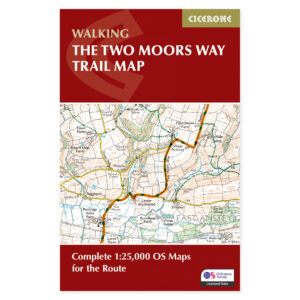
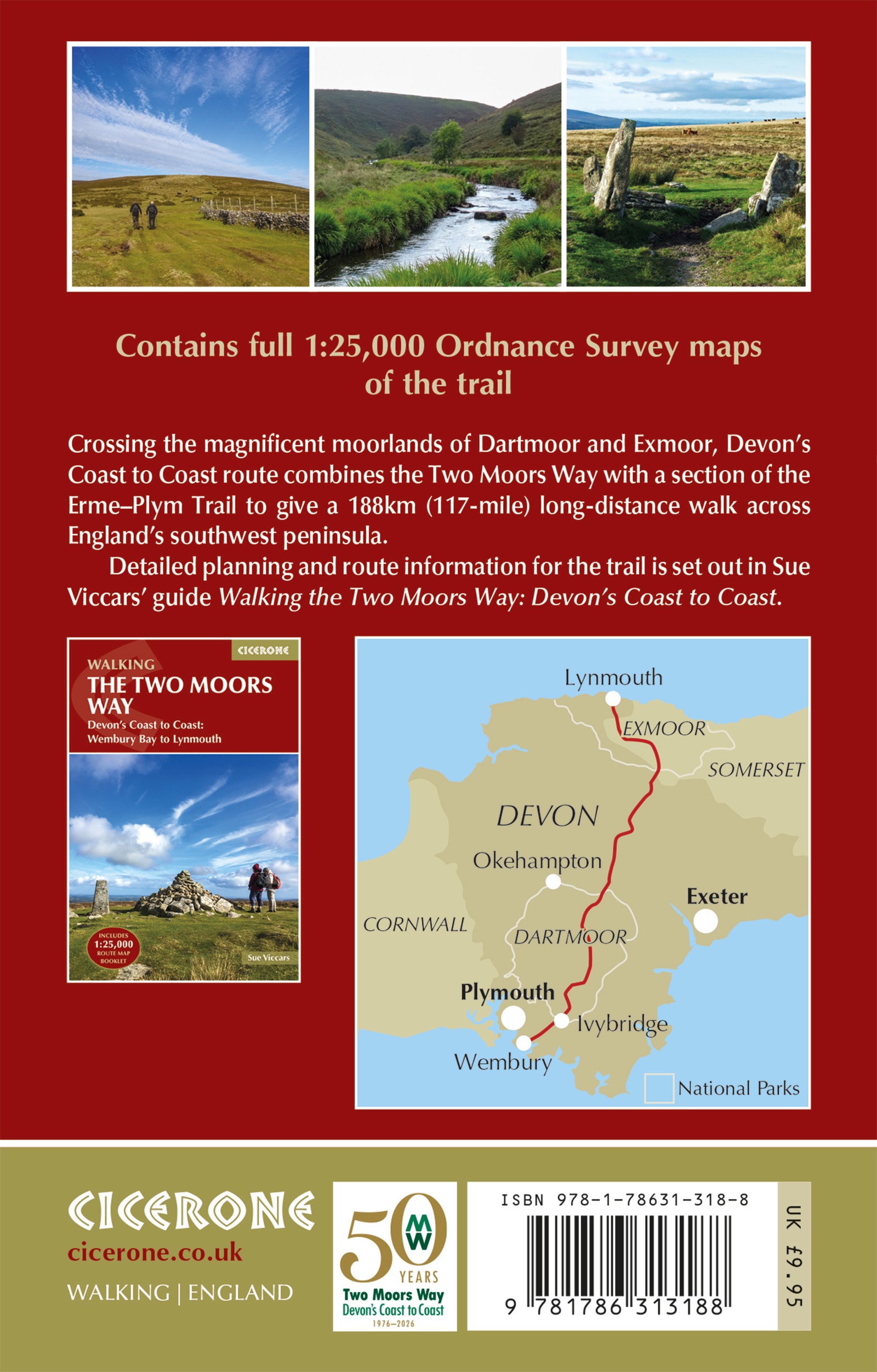
Devon’s coast-to-coast walk links the Two Moors Way with a section of the Erme–Plym Trail. The route crosses the distinctive landscapes of Dartmoor and Exmoor, with quieter valleys and farmland in between. This separate map booklet shows the continuous route, making it easy to follow progress along the way.
Ordnance Survey at a scale of 1:25,000.
The booklet brings together detailed OS maps covering the entire route of around 188 kilometres. The marked line helps with reading the terrain and seeing how paths, roads, and river crossings connect. A compact booklet is practical when you want the map coverage on hand without carrying several large map sheets.
Maps alongside the stage plan.
The route passes through areas with few larger settlements, so accommodation and supplies should be planned carefully. Ivybridge, Morchard Bishop, and Withypool are among the places along the route. The map booklet is suitable as support for an already planned through-hike, but can also be used when exploring a shorter section of the walk.
Map booklet or complete guide?
This product is the maps sold separately. The same booklet is included with Cicerone’s The Two Moors Way. Choose the complete book if you also want detailed route descriptions and practical help with travel and accommodation. The map booklet is useful if you only need the map coverage or want to split navigation duties among several people in your group.
A long tradition of hiking guides.
Cicerone has published guidebooks since 1969. The publisher grew out of a community of climbers and mountain people who wanted to share detailed knowledge of their routes – a tradition that still shapes these compact books for hiking, trekking, and other outdoor experiences.
About this edition.
Author: Sue Viccars. English language. 72 pages. Second edition, published in 2026. ISBN 9781786313188.