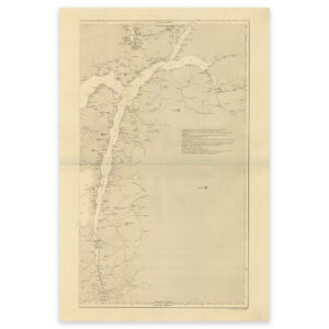
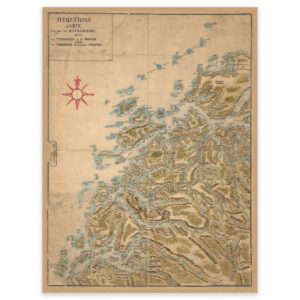
 Trøndelag 1728
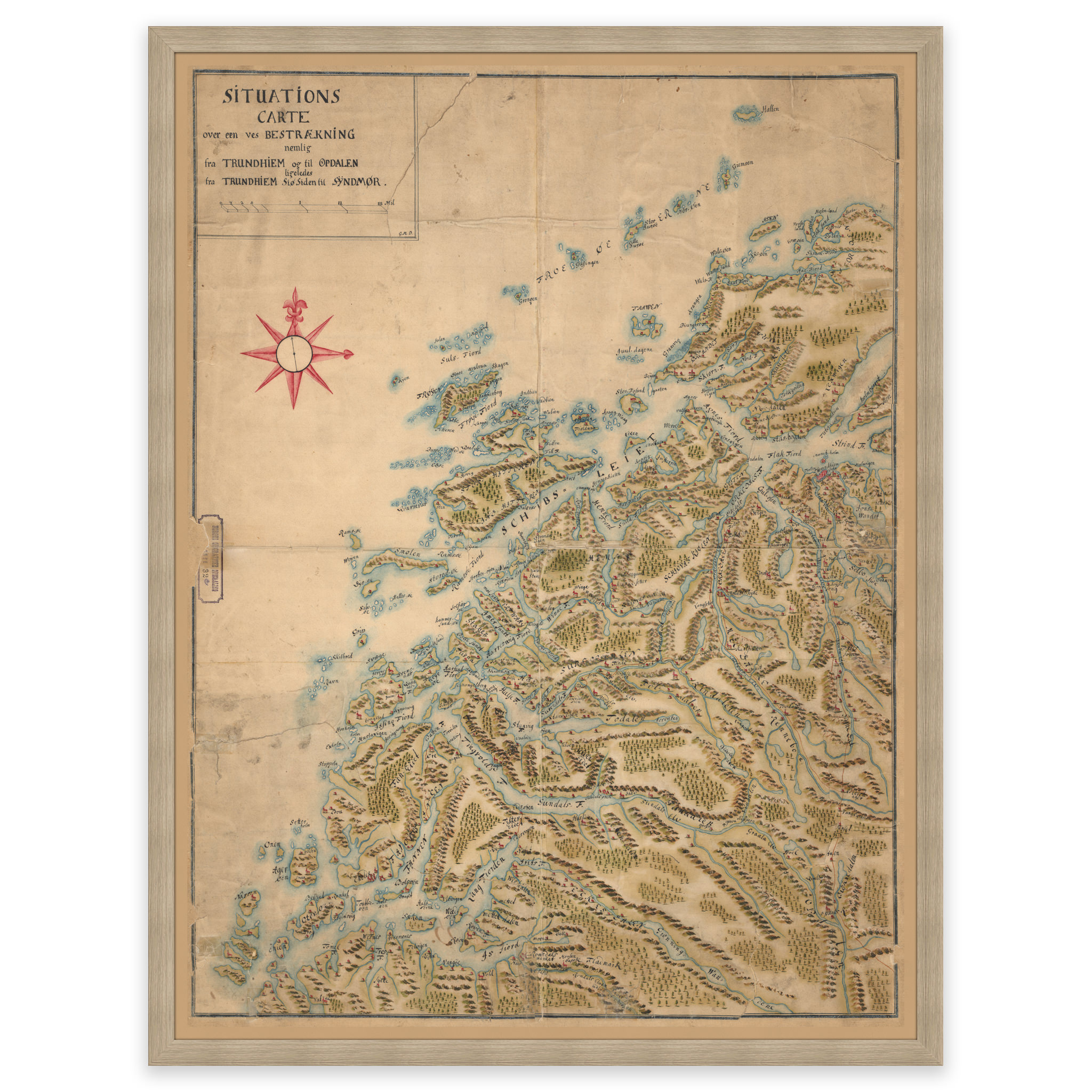

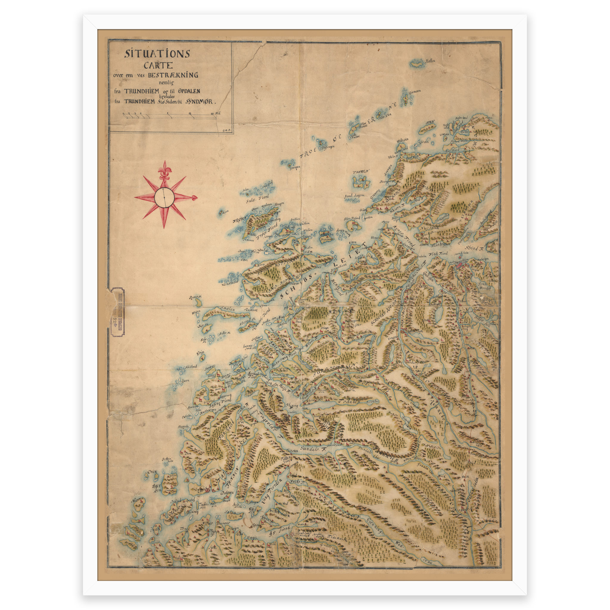


Trøndelag 1728
Map from 1728 of the area between Trondheim and Oppdal, and the coast from Roan to Ona Fyr. The map is delivered in its original size of 74.4 x 57.5 cm. The size with frame and passepartout is 92.4 x 76.5 cm. Do you want the map in a different size? Just get in touch – we’ll be happy to give you a quote for customization.