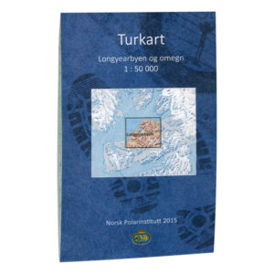
Description
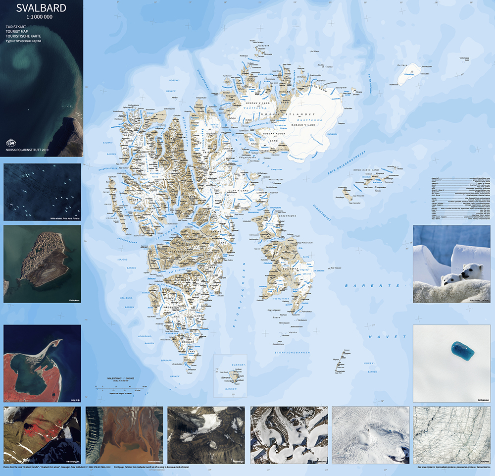
Turistkart Svalbard is a detailed topographic map of parts of Svalbard at a scale of 1:1000000. The map provides accurate representation of terrain, contours, glaciers and coastline.
The scale 1:1000000 provides a high level of detail. The map was published in 2019.
The Norwegian Polar Institute is a directorate under the Ministry of Climate and Environment. The Institute’s activities are focused on environmental management needs in the polar regions. It provides scientific knowledge, surveys and gives professional and strategic advice to Norwegian authorities. The Norwegian Polar Institute is present in the Arctic and Antarctic, operates research stations, conducts expeditions and owns the research vessel “Kronprins Haakon”. The institute is the environmental authority for Bouvetøya and for Norwegian activities in Antarctica.
Kart.no is the official retailer of maps from the Norwegian Polar Institute.