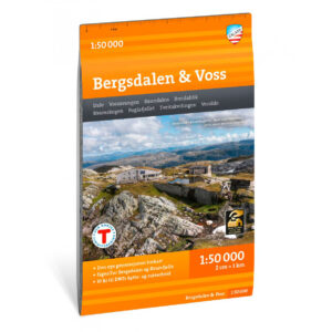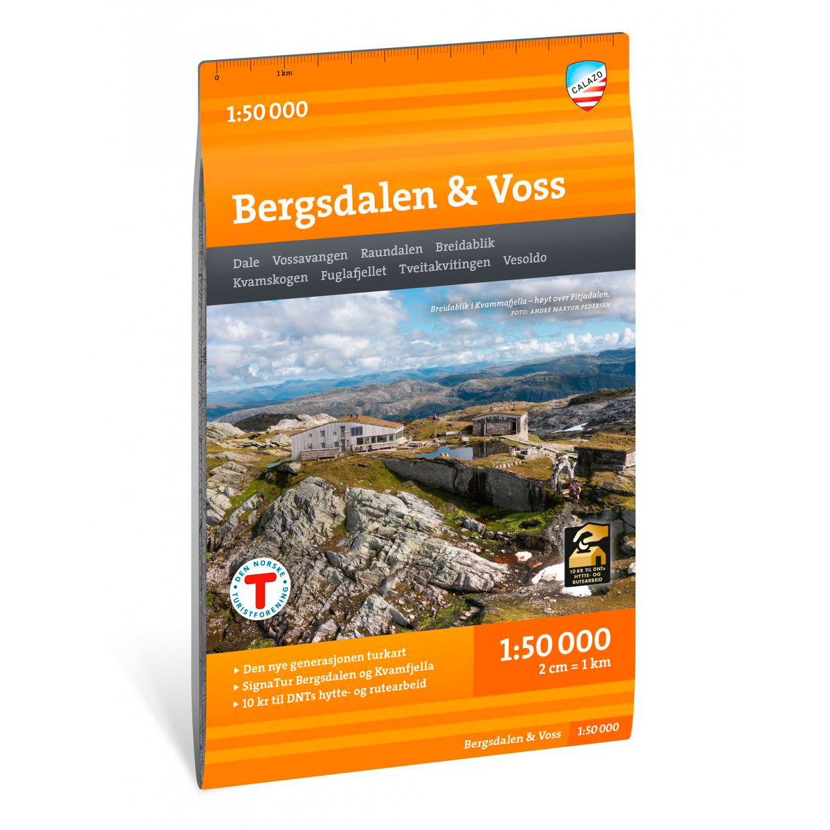
Description
Turkart Bergsdalen & Voss covers the hiking area between Bergsdalen, Kvamskogen and Voss, with map sections on both the front and back. The map provides a comprehensive overview of mountain areas, valleys and high mountain terrain in the region, and is suitable for both short day trips and longer continuous trips.
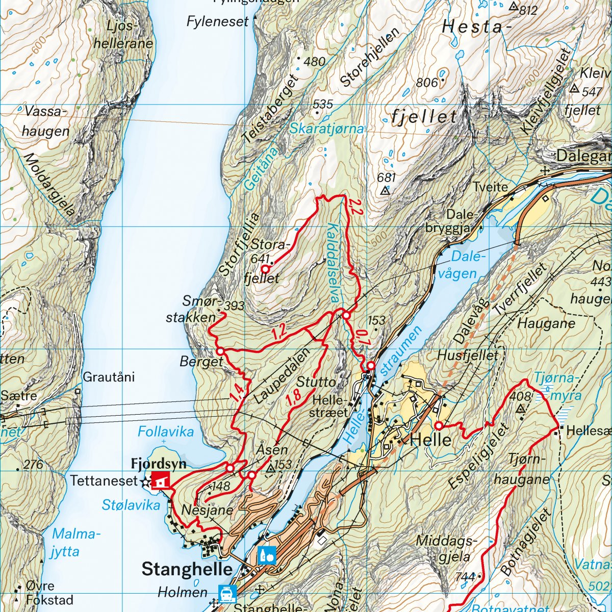
SignaTur Bergsdalen and Kvammafjella are clearly marked on the map. It shows marked summer and winter routes, as well as cabins run by DNT and other operators. The terrain information is based on detailed elevation data, which provides a precise and clear representation of the landscape. The map provides a good overview of trails, water, elevation contours and key hiking destinations in the area, and is also suitable for winter use with marked winter routes and groomed ski trails.
The map is at a scale of 1:50,000, which is the most common scale for longer mountain hikes. At this scale, 2 cm on the map corresponds to 1 km in the terrain. This provides a good balance between level of detail and overview of larger areas.
Calazo donates an amount per map sold to DNT’s work on trails and accommodation cabins, which contributes to the further development and maintenance of the infrastructure in the area.
Calazo Förlag is a Swedish publishing house specializing in maps and books for outdoor life in the Nordic region.
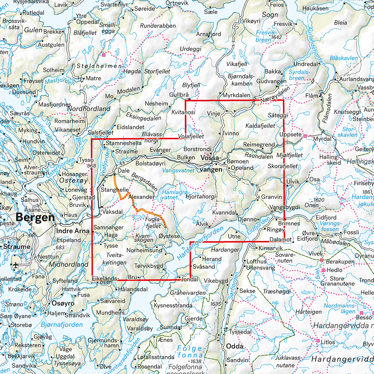
Here you can see the area the map covers:
The map is released in 2025.