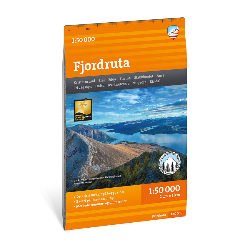

Description
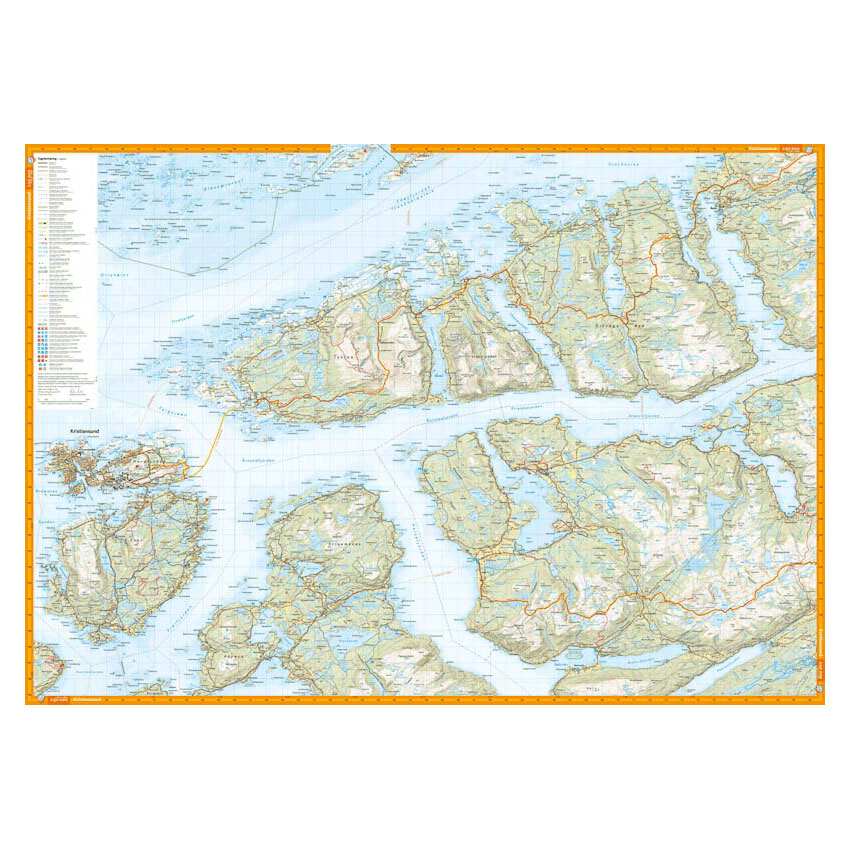
Turkart Fjordruta covers the entire 154-kilometer hike around the Vinjefjord in Nordmøre. The route is divided into 12 day stages and follows the tourist association’s marked trails with accommodation in self-service DNT cabins. The map provides an overview of the entire route from Kristiansund to Halsa, with map sections on both the front and back.
The Fjord Route passes through a varied landscape with fjords, coastal mountains and woodlands. The map shows marked routes, cabins and terrain shapes in a clear and precise way, and provides a good basis for planning and completing all or part of the trip. The map has been developed in collaboration with Kristiansund and Nordmøre Tourist Association.
The map is at a scale of 1:50,000, which is the most common scale for longer trips. At this scale, 2 cm on the map corresponds to 1 km in the terrain. The terrain information is based on detailed elevation data and provides an accurate representation of the landscape along the route.
Calazo Förlag is a Swedish publishing house specializing in maps and books for outdoor life in the Nordic region.
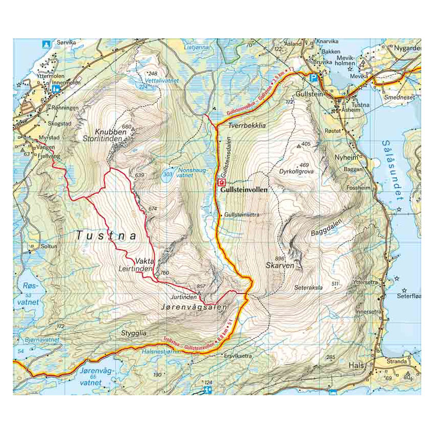
Here you can see the area the map covers:
The map is released in 2022.