Description
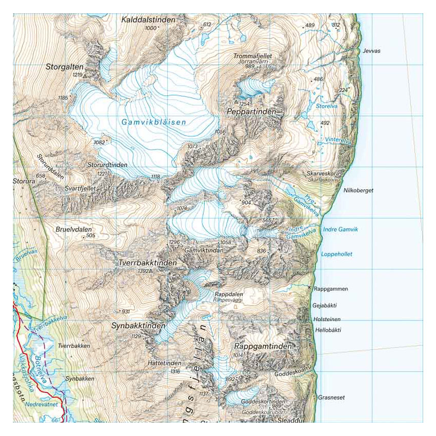
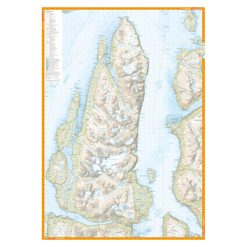
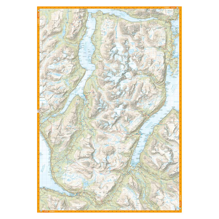
Turkart Lyngen covers the entire Lyngen Peninsula with map sections on both the front and back. The area is known for its high, steep mountains with a distinct alpine feel and offers some of Norway’s most popular areas for ski touring.
The map includes classic hiking destinations such as the Jiehkkevárri traverse, Storgalten (1219 m) and Tafeltinden (1395 m). It provides an accurate representation of terrain shapes, elevation contours, glaciers and water, and shows marked routes where applicable. The terrain information is based on detailed elevation data, which provides good readability in a steep and complex mountain landscape. The map is suitable for both summer and winter use and provides a good basis for planning summit trips and longer mountain hikes.
The map is at a scale of 1:50,000, which is the most common scale for longer mountain hikes. At this scale, 2 cm on the map corresponds to 1 km in the terrain.
Calazo Förlag is a Swedish publishing house specializing in maps and books for outdoor life in the Nordic region.
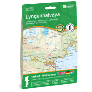
Here you can see the area the map covers:
The map is released in 2022.