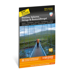

Description
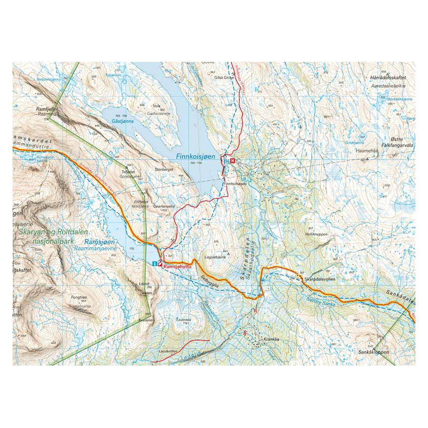
Turkart Norway across covers the 120-kilometer hike through the Sylan mountain area, divided into 7 day stages along 63 degrees north. The route follows the Norwegian Tourist Association’s marked trails with accommodation in serviced and self-catering DNT cabins, and provides a continuous hiking experience from fjord to high mountain.
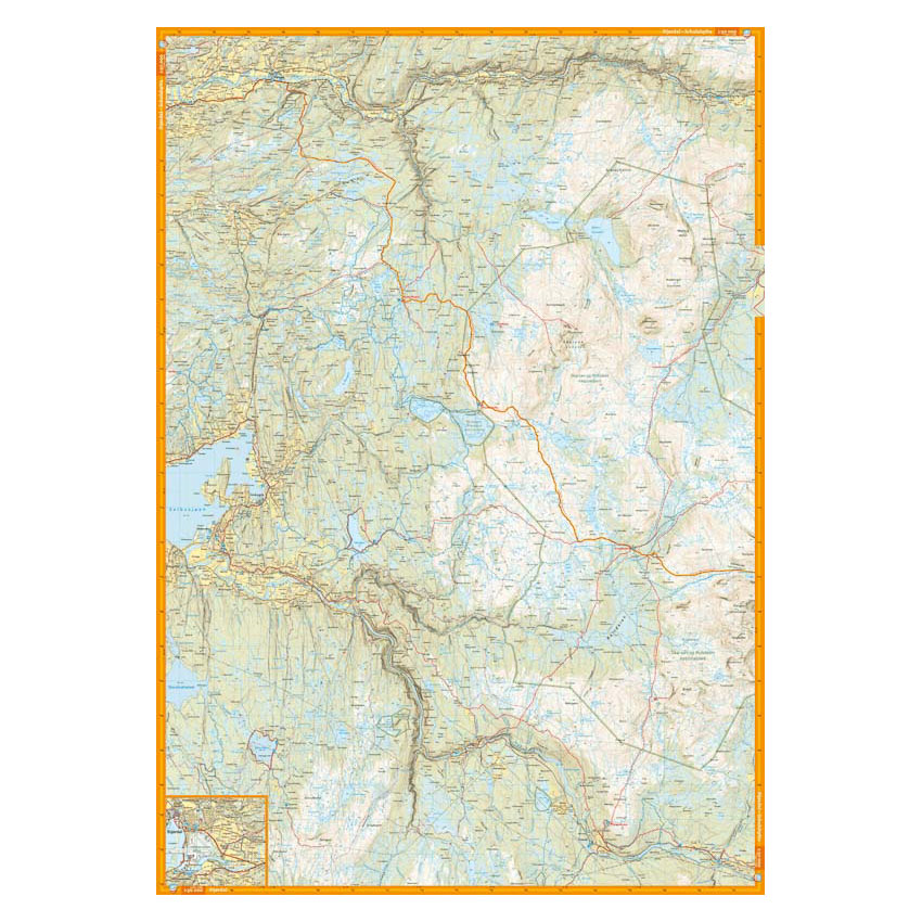
The map covers the entire route from the fjord in Stjørdal to the Swedish border in Tydal, with map sections on both the front and back. Along the way, the route passes the Sylmassivet massif, where Storsylen (1762 m) lies just inside the Norwegian side of the border. The map shows marked routes, cabins and key terrain features, and provides a good basis for planning and completing all or part of the tour.
The map is at a scale of 1:50,000, which is the most common scale for longer mountain hikes. At this scale, 2 cm on the map corresponds to 1 km in the terrain. The terrain information is based on detailed elevation data and provides a precise representation of contours, water and landforms. The map is printed on Tyvek®, a lightweight and durable material that can withstand water and rough use.
Calazo Förlag is a Swedish publishing house specializing in maps and books for outdoor life in the Nordic region.
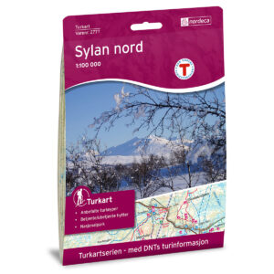
Here you can see the area the map covers:
The map is released in 2020.