Description
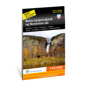
Turkart Reisa National Park and Nordreisa South covers Reisa National Park and the southern parts of Nordreisa in Nord-Troms. Developed in collaboration with Nord-Troms Friluftsråd, the map provides an overview of a landscape characterized by deep valleys, rivers, plains and mountains.
The area offers varied hiking opportunities throughout the year, from walks along the Reisa river to longer journeys in open mountain and plateau areas. The map shows trails, terrain shapes, water and key outdoor areas, and provides a good basis for planning both short and longer trips. The clear presentation of contours and landscapes is particularly useful in an area with large distances and varying terrain.
The map is at a scale of 1:50,000, which is the most common scale for longer trips. At this scale, 2 cm on the map corresponds to 1 km in the terrain. This provides a good balance between detail and overview of larger areas.
Calazo Förlag is a Swedish publishing house specializing in maps and books for outdoor life in the Nordic region.
Here you can see the area the map covers:
The map is published in 2017.