Description
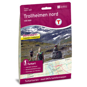
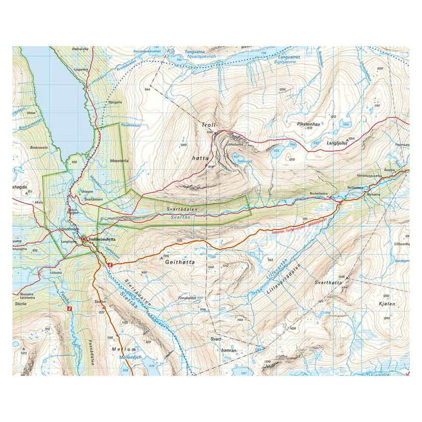
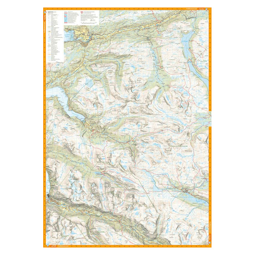
Turkart Trollheimen covers the whole of Trollheimen with map sections on both the front and back. The area is known for its marked peaks, lush valleys and long, continuous hiking trails, and the map provides a comprehensive overview of the mountain area.
Classic hiking destinations such as Innerdalen, Snota (1668 m) and the popular Trekanten hiking route are clearly marked. Trails in the area have been reviewed and corrected using detailed aerial photographs and terrain data, and the map shows both established and less used routes. Cabins run by DNT and other operators are marked, along with marked summer routes. The map is adapted for use throughout the year, with marked winter routes and groomed ski trails where applicable.
The map is at a scale of 1:50,000, which is the most common scale for longer mountain hikes. At this scale, 2 cm on the map corresponds to 1 km in the terrain. The terrain information provides a precise and clear representation of contours, water and landforms.
Calazo Förlag is a Swedish publishing house specializing in maps and books for outdoor life in the Nordic region.
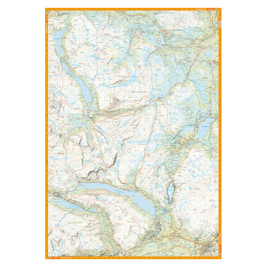
Here you can see the area the map covers:
The map is released in 2022.