
Description
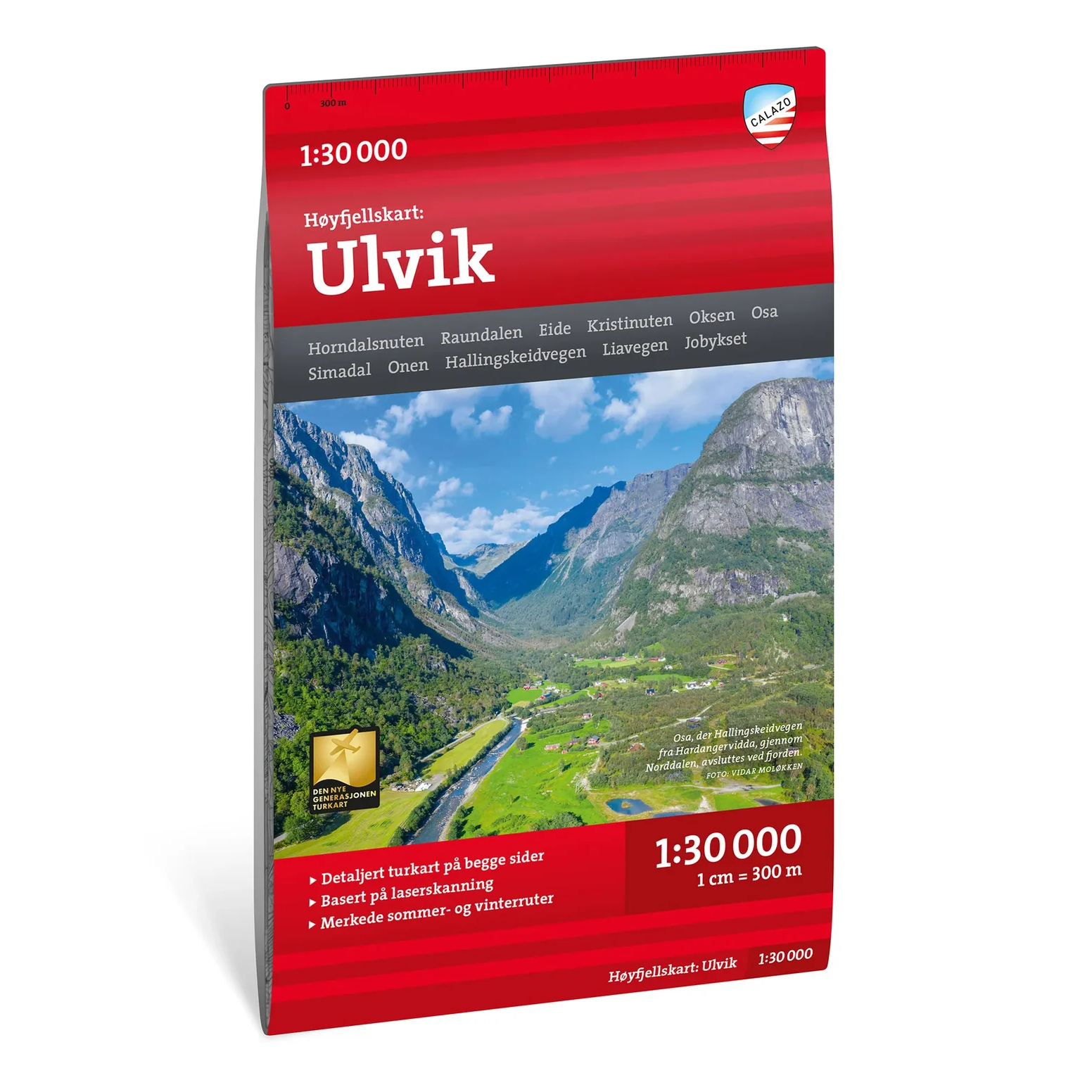
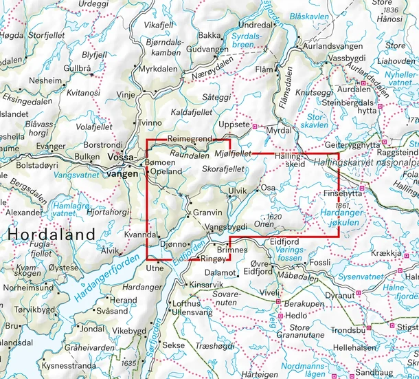
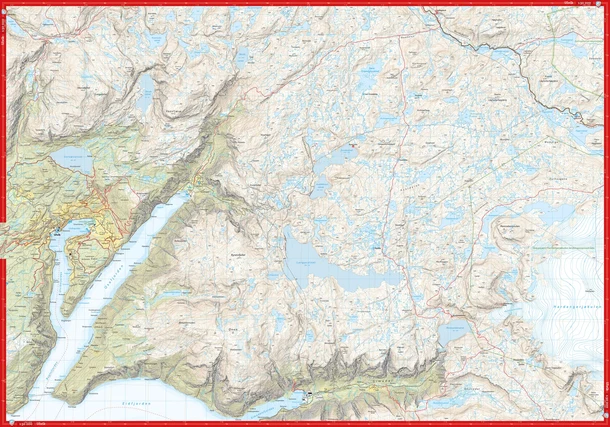
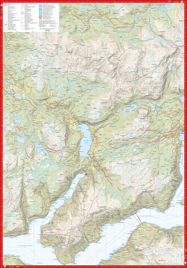
The Calazo Ulvik High Mountain Map is a highly detailed hiking map at a scale of 1:30,000, designed for mountain hikes, summit hikes, and off-trail travel in the mountain areas around Ulvik.
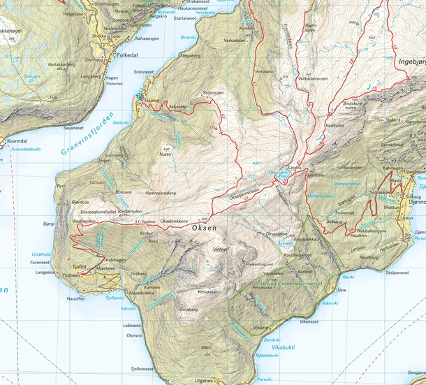
The map is based on modern terrain data from aerial laser scanning, which provides a detailed representation of mountain slopes, waterways, glaciers, and other landforms. The map also includes an extensive network of trails and routes and was developed in collaboration with the municipality of Ulvik, which contributed local knowledge about outdoor recreation in the area.
The detailed scale makes the map particularly well-suited for summit hikes on, among others, Oksen (1,241 meters above sea level), Olsskavlen (1,576 meters above sea level), and Vassfjøro (1,633 meters above sea level). It also covers the historic Hallingskeid Road, which runs from Hallingskeid Station on the Bergen Line through the mountainous landscape and down toward the fjord at Osa.
With a scale of 1:30,000, this map is also well-suited for those who want to venture off marked trails and plan their own routes in the high mountains, where detailed information about the terrain and landforms is particularly important.
The map is made of Tyvek, a lightweight and highly durable material that is water-resistant and tear-resistant. This is the 2026 edition of the map.