Description
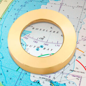
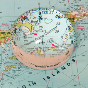
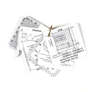
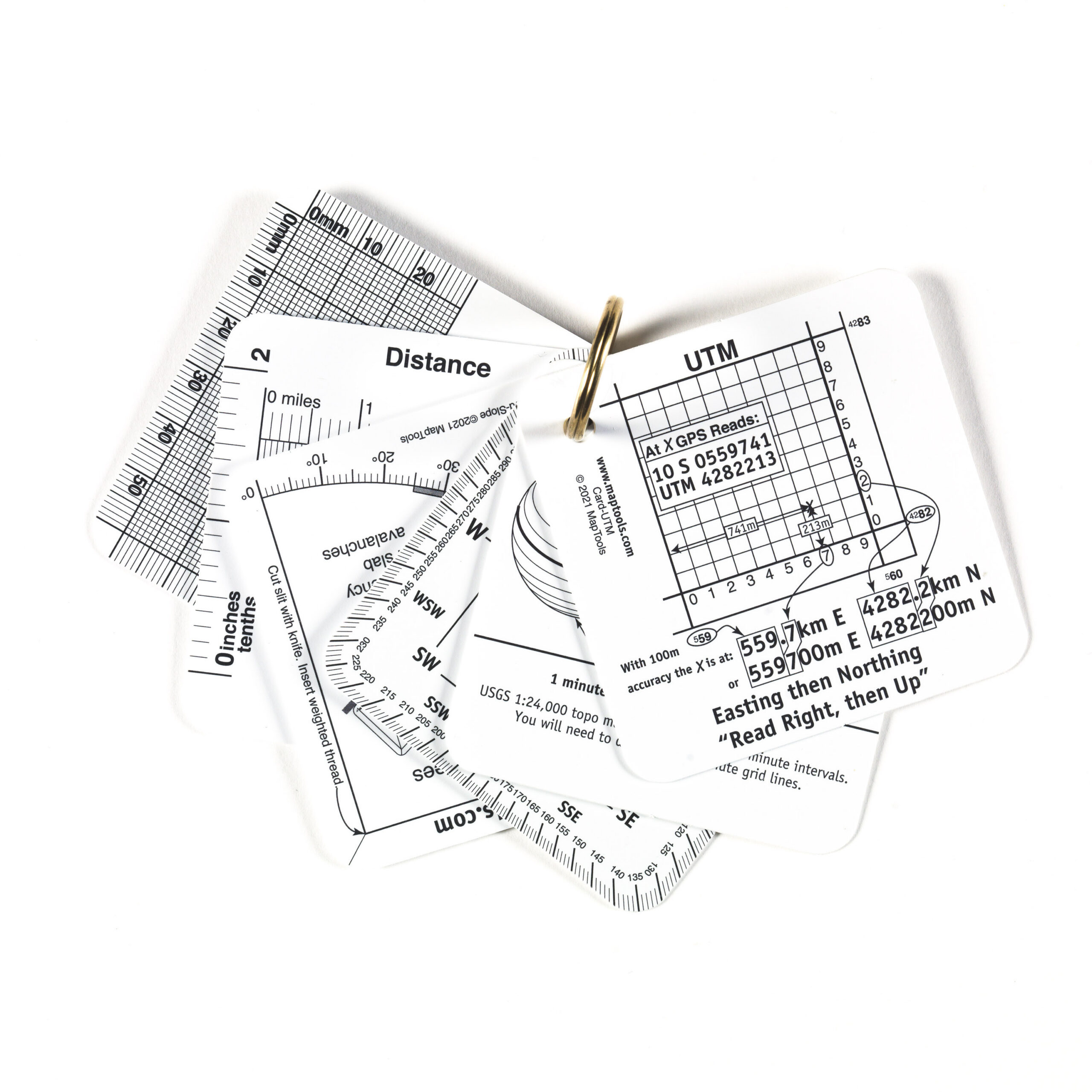
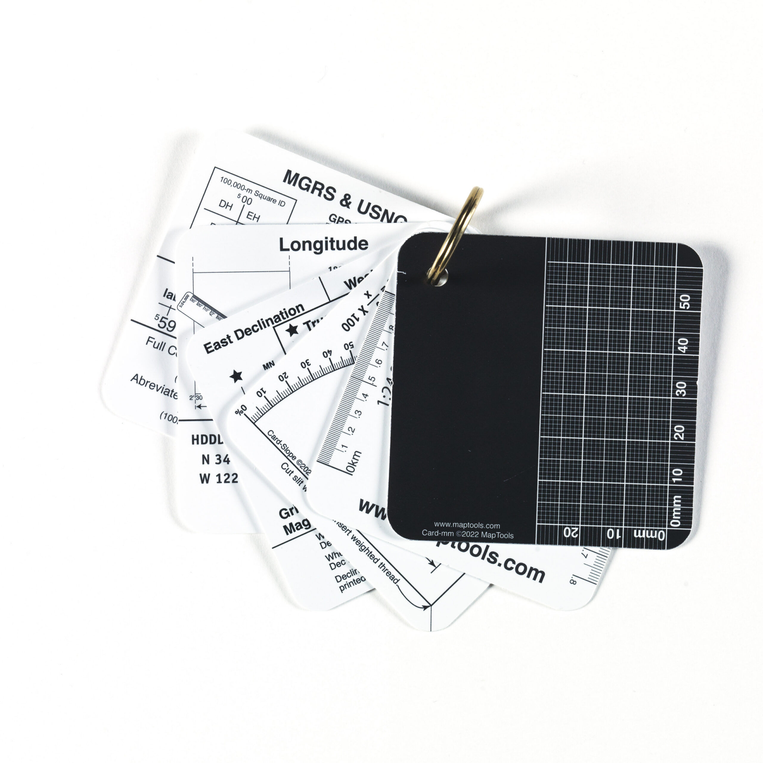
Navigation Cards – a set of 6 reference cards and a map magnifier is a handy reference set for anyone who uses a map and compass while hiking. The set includes six durable reference cards with useful information on coordinates, navigation, and map reading, as well as a compact map magnifier that makes it easier to read small details on the map.
The maps cover, among other things , UTM, MGRS, and USNG coordinates, compass direction and declination, latitude and longitude, time, speed, and distance, a millimeter grid, and slope measurements using an inclinometer. Together, they provide a handy reference guide and a useful reference tool that’s easy to take along on a hike.
The set includes six reference cards and a compact map magnifier. The content includes references to UTM, MGRS, and USNG; compasses and magnetic declination; latitude and longitude; time, speed, and distance; the millimeter grid; and measuring the angle of inclination.
The included map magnifier makes it easier to read coordinates, contour lines, place names, and other small details on the paper map.
This is a useful accessory for both beginners and experienced map users, and is just as well-suited for mountain hikes and orienteering as it is for teaching and courses on maps and compasses. Along with paper maps, a compass, and a GPS, these navigation maps provide quick access to information you would otherwise have to memorize or look up elsewhere.