Description
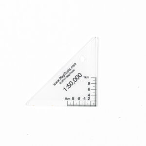
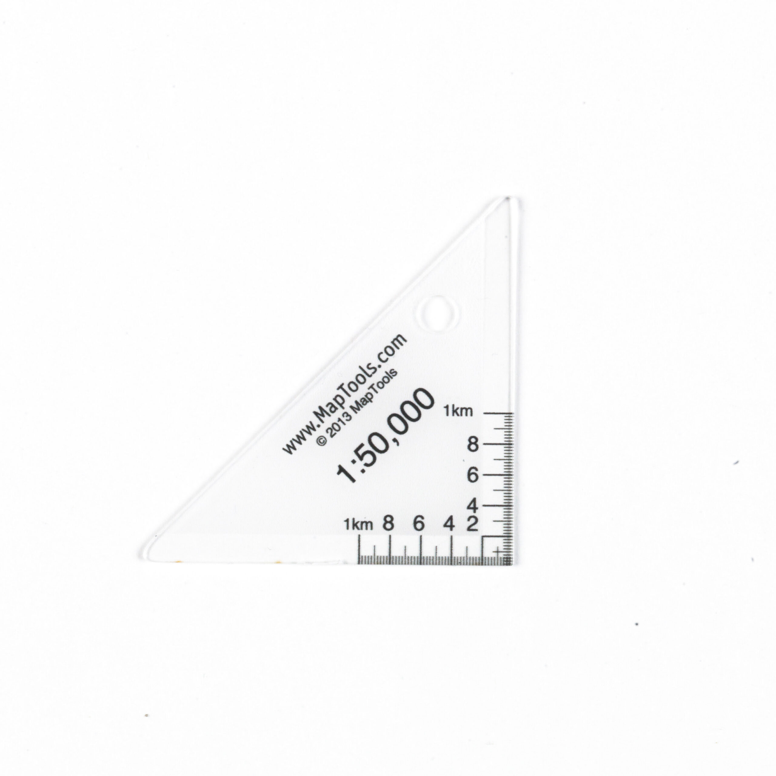
The Mini50 is the smallest mapping tool in the MapTools series for 1:50,000-scale maps, designed for quick and easy reading of UTM coordinates. Its triangular design makes it easy to position the tool precisely in the corner of the map’s coordinate grid, ensuring that coordinate readings are both fast and accurate.
Its compact size makes it easy to attach the Mini50 to your keychain, map folder, backpack, or lanyard, so you always have an accurate mapping tool at your fingertips. The white marking behind the scale makes the numbers easier to read and also ensures the tool is clearly visible when placed on top of the map.
The Mini50 is made of durable, transparent plastic with a protected print that can withstand long-term use in the field. Despite its compact size, the tool provides precise coordinate readings and is a practical complement to paper maps, compasses, and GPS devices.
For those looking for a simple, lightweight, and space-saving mapping tool, the Mini50 is a smart choice. It works especially well with 1:50,000-scale hiking maps, which are among the most commonly used maps for outdoor activities in Norway.