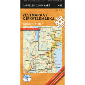
Description
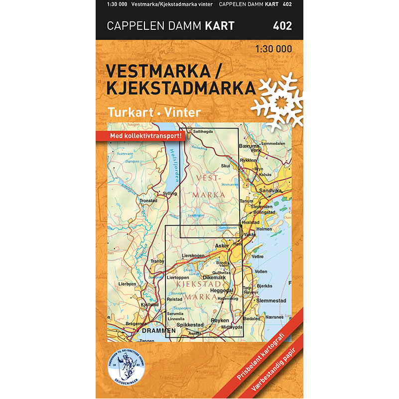
Vestmarka / Kjekstadmarka – winter hiking map (part 402 in the Cappelen Damm map series) is a detailed pocket map published in 2013. The map is part of the series of smaller and handy hiking maps of selected parts of Oslomarka, developed for easy use on winter trips.
The map covers the area between Røyken and Sollihøgda, and between Liertoppen and Hvalstad. With a scale of 1:30,000, it provides good detail and an overview of the trail network and terrain in Vestmarka and Kjekstadmarka.
As in the comprehensive Oslomarka map, both groomed and ungroomed ski trails are shown. The map also contains information about restaurants, accommodation and other useful information for winter trips. Parts of the public transport network are marked, making it easier to plan your trip from start to finish.
The map is printed on weatherproof paper with high durability and good rain tolerance, adapted for use in winter conditions.
Cappelen Damm no longer publishes maps and atlases. This product is sold from existing stock, and will be available while stocks last. When the stock is empty, the map will not be printed in a new edition.