
Description
A quieter side of the Lake District.
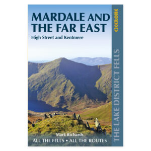
The eastern fells feature broad ridges, ancient packhorse tracks, and valleys that often receive less attention than areas further west. The book covers Mardale and the heights near Kentmere, Haweswater, and Ullswater. It demonstrates how both classic rounds and less-visited summits can be combined into varied hiking days from different bases in the area.
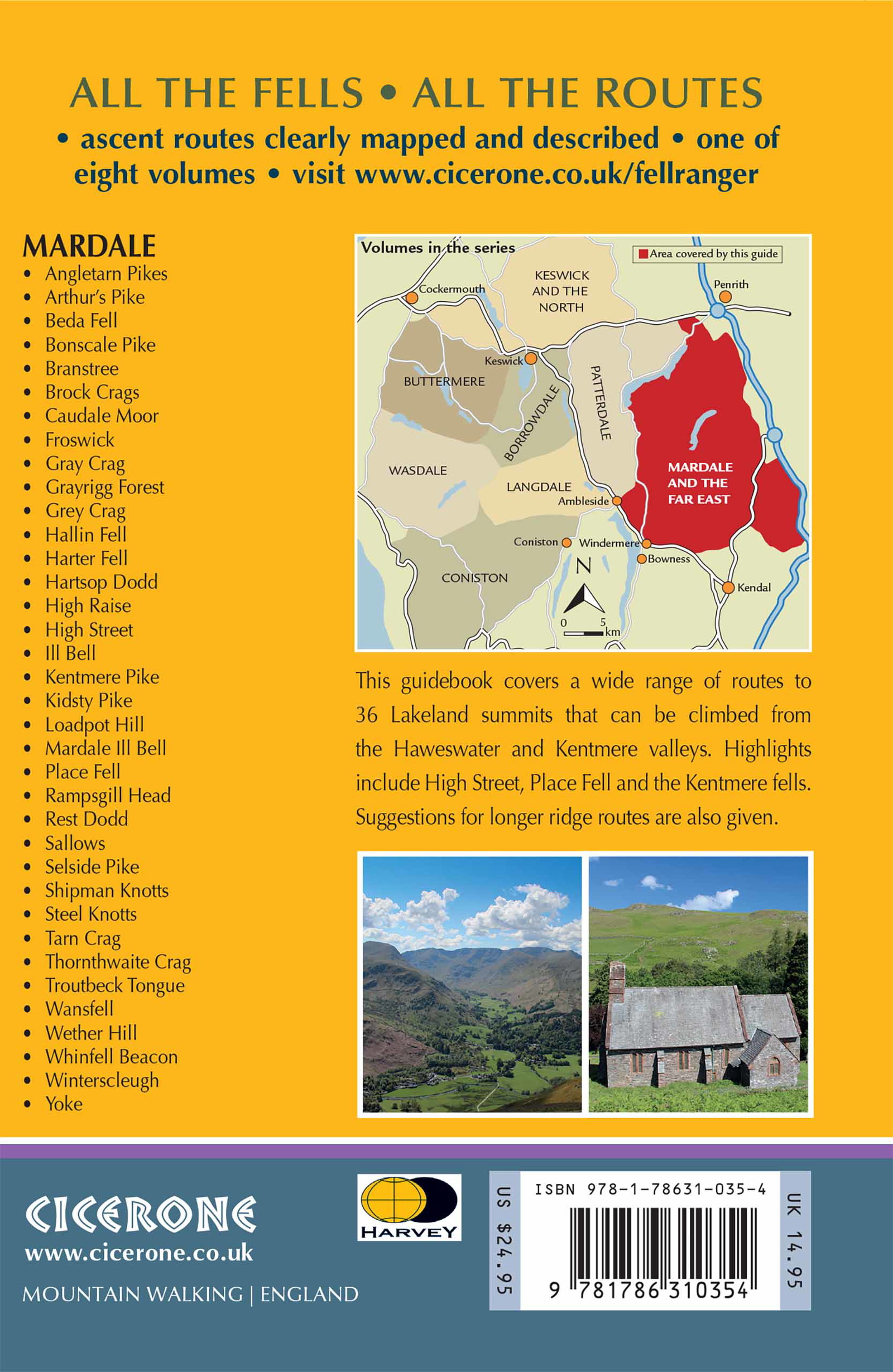
Thirty-six fells with multiple connections.
High Street and the Kentmere Horseshoe are among the prominent landmarks, but the selection includes many more objectives. The fell-by-fell organization allows for choosing specific ascents and descents and linking summits together. This makes the book useful across multiple visits, whether you wish to walk new lines or adapt a familiar round according to conditions and personal preference.
Maps and sketches for terrain understanding.
HARVEY maps, panoramas, and hand-drawn sketches support the descriptions and provide a clear overview of the connections between routes. Part of Mark Richards’ Lake District series, the book provides detailed treatment of this region. It serves as both a planning tool and as support when you desire more options than a single standard route to a specific fell provides.
For route selection based on experience and weather.
Broad heights can be demanding to navigate in poor visibility, and long combinations place greater demands on capacity than single ascents. Therefore, consider distance, terrain, and conditions together. The guide is suitable for hikers who wish to use maps and descriptions actively and have the scope to adapt their choice of line, ensuring the day’s hike matches both fitness and current mountain weather.
A long tradition of hiking guides.
Cicerone has published guidebooks since 1969. The publisher grew from a community of climbers and mountaineers who wanted to share thorough knowledge of their routes—a tradition that still characterizes the publisher’s books on walking, trekking, and other outdoor experiences.
About this edition.
Author: Mark Richards. English language. 320 pages. Second edition, published 2020. ISBN 9781786310354.