Description
The landscape and the journey
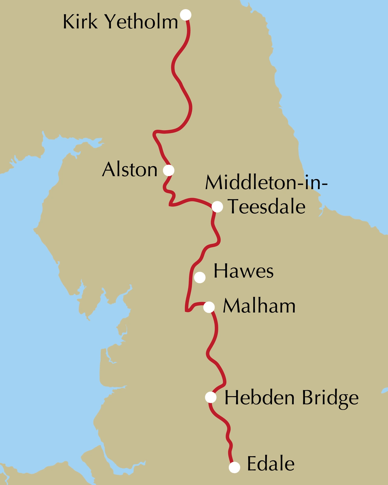
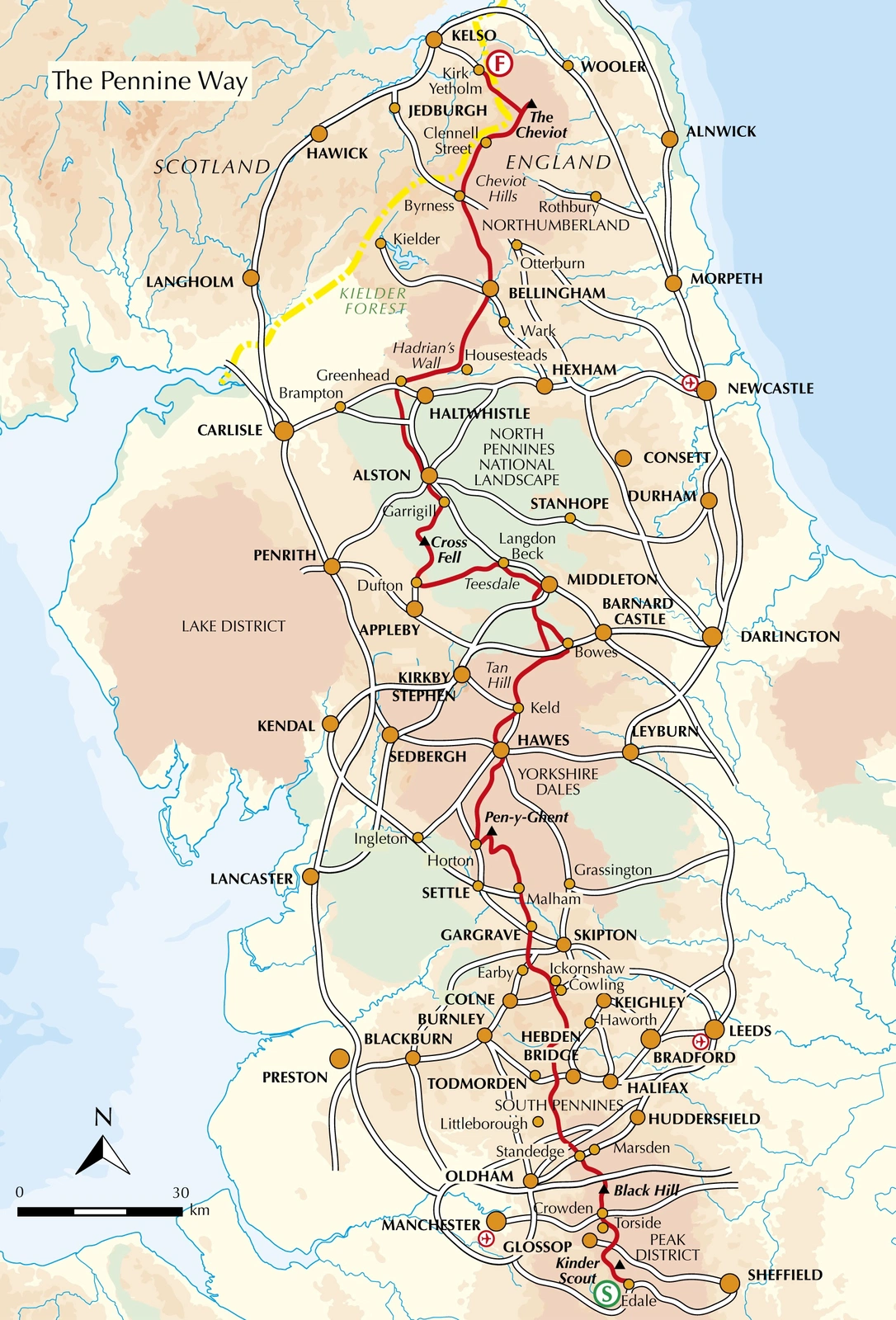
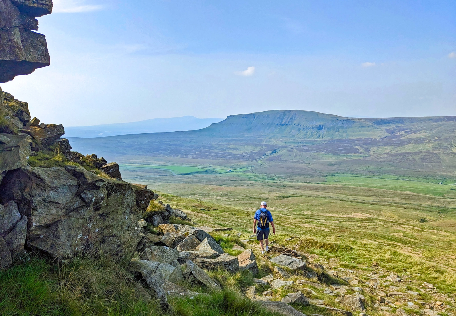
Paddy Dillon follows northern England’s upland spine through the Peak District, Yorkshire Dales, North Pennines and Northumberland to Kirk Yetholm at the Scottish border. Open moors, valleys and fell country offer a complete trek or shorter regional journeys.
Routes and itinerary options
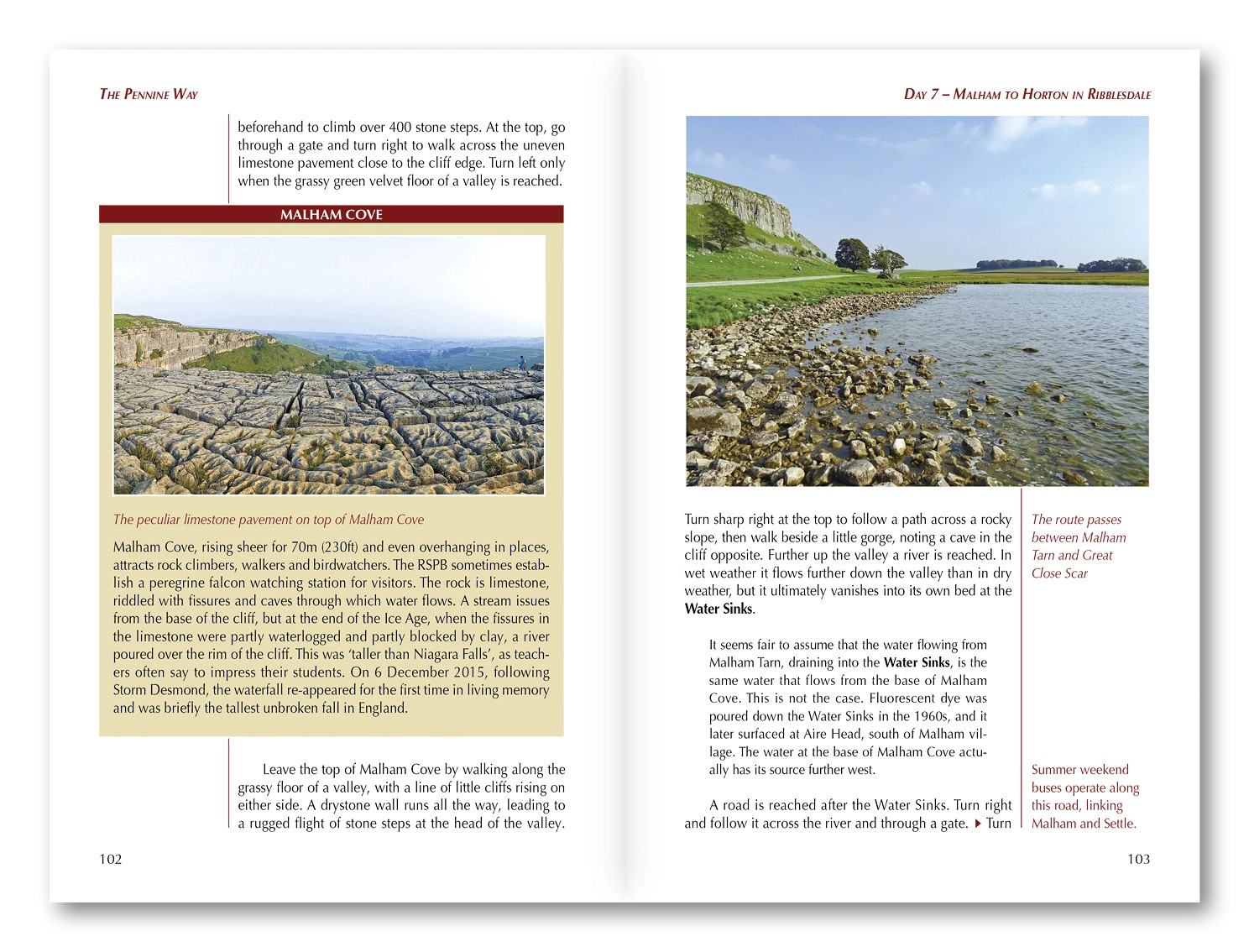
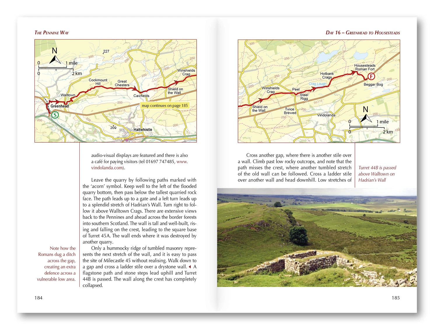
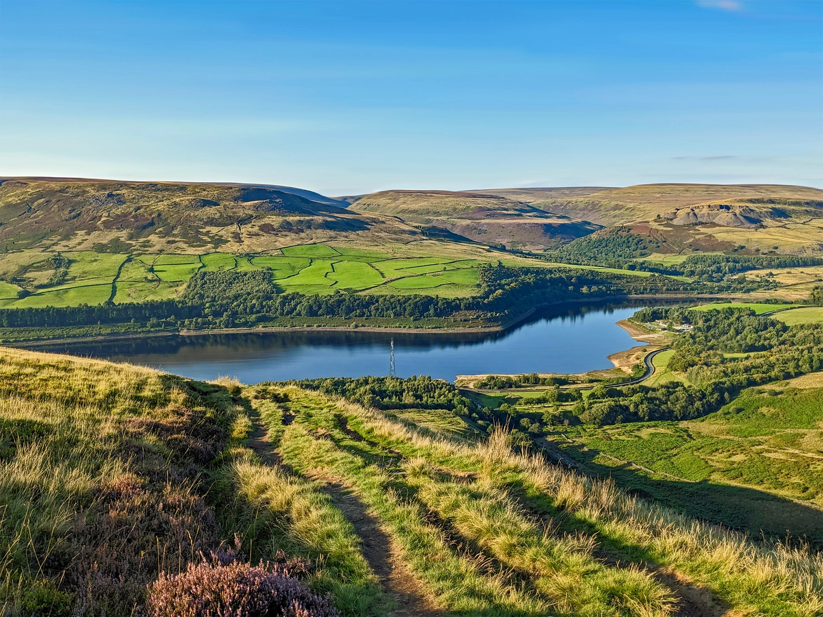
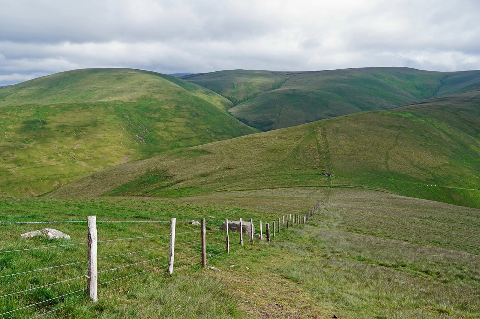
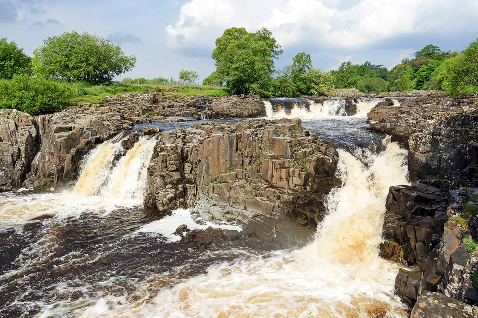
The approximately 426 kilometres have 20 south-to-north stages, generally 11–32 kilometres, providing a roughly three-week framework. Highlights include Kinder Scout, Malham Cove, High Cup, Cross Fell, Hadrian’s Wall and the Cheviot Hills.
Maps and practical planning
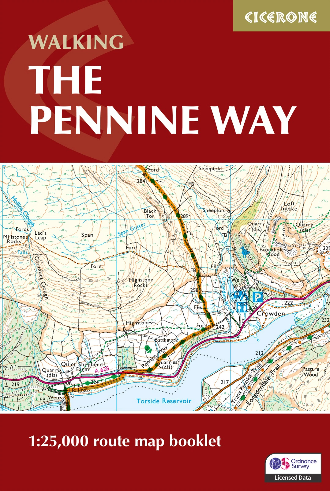
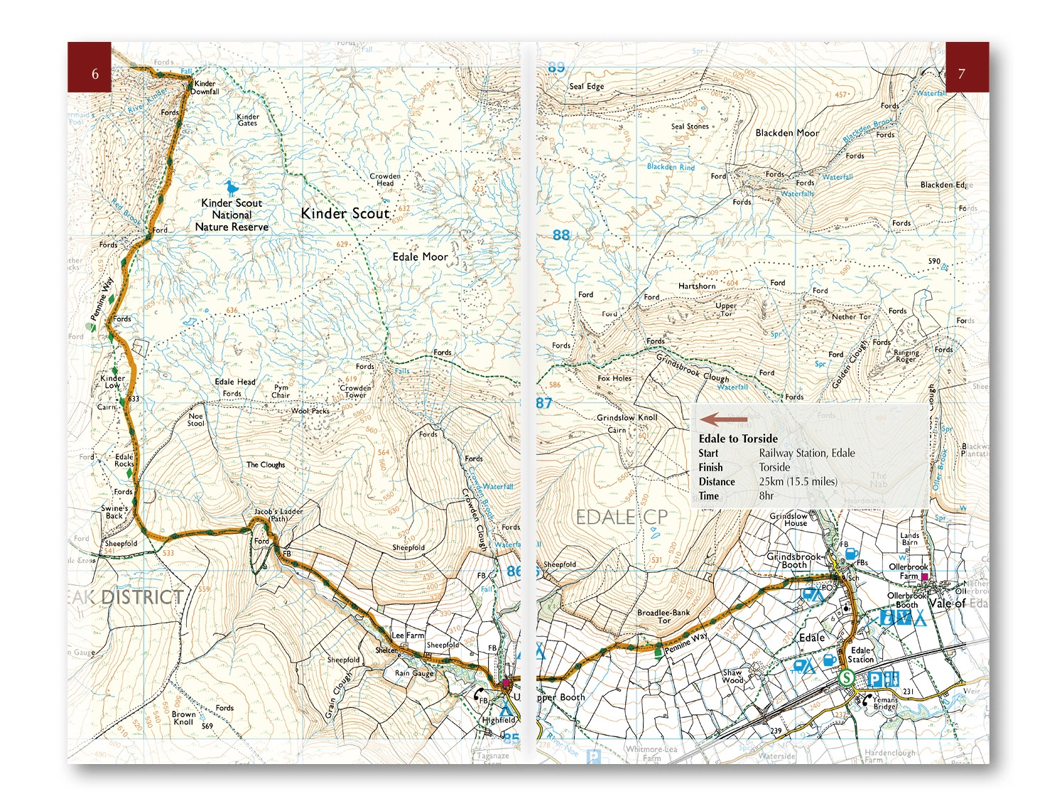
An included separate 1:25,000 OS booklet maps the whole route. Profiles, accommodation and services planning, food and transport details, Cicerone GPX files and geology and nature background support preparation. Use the route information to compare stages, plan your stops and check practical arrangements before departure.
Choosing the right trip
Good fitness and long-distance walking experience are needed. Wet ground, wind and poor visibility make open moorland demanding; plan realistic days and rest. Choose an itinerary that fits your experience and available time, allowing flexibility for weather and local conditions.
About this edition
English-language guidebook by Paddy Dillon. Fifth edition, published in 2025. 256 pages. Separate OS map booklet included. ISBN 9781786311313.