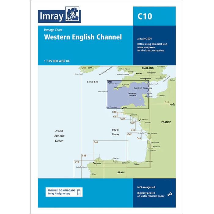
Description
This chart covers the western part of the English Channel, including the waters between southwest England, northern France and the Bay of Biscay. The chart is designed as a passage chart and provides a good overview of open sea areas, main sailing routes and geographical connections in a central and weather-prone sailing area.
The chart is particularly well suited for planning longer ocean routes, crossings and route selection between England, France, the Channel Islands and the Atlantic areas west of the Channel. It is often used in combination with more detailed coastal and harbor charts for departure and arrival areas, and serves as a strategic overview chart for navigation in open waters.
Imray is a well-established British chart manufacturer, known for high legibility nautical charts and clear presentation of navigation-relevant information. Their passage charts are designed for safe and efficient route planning for long distance sailing and canal crossings.