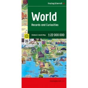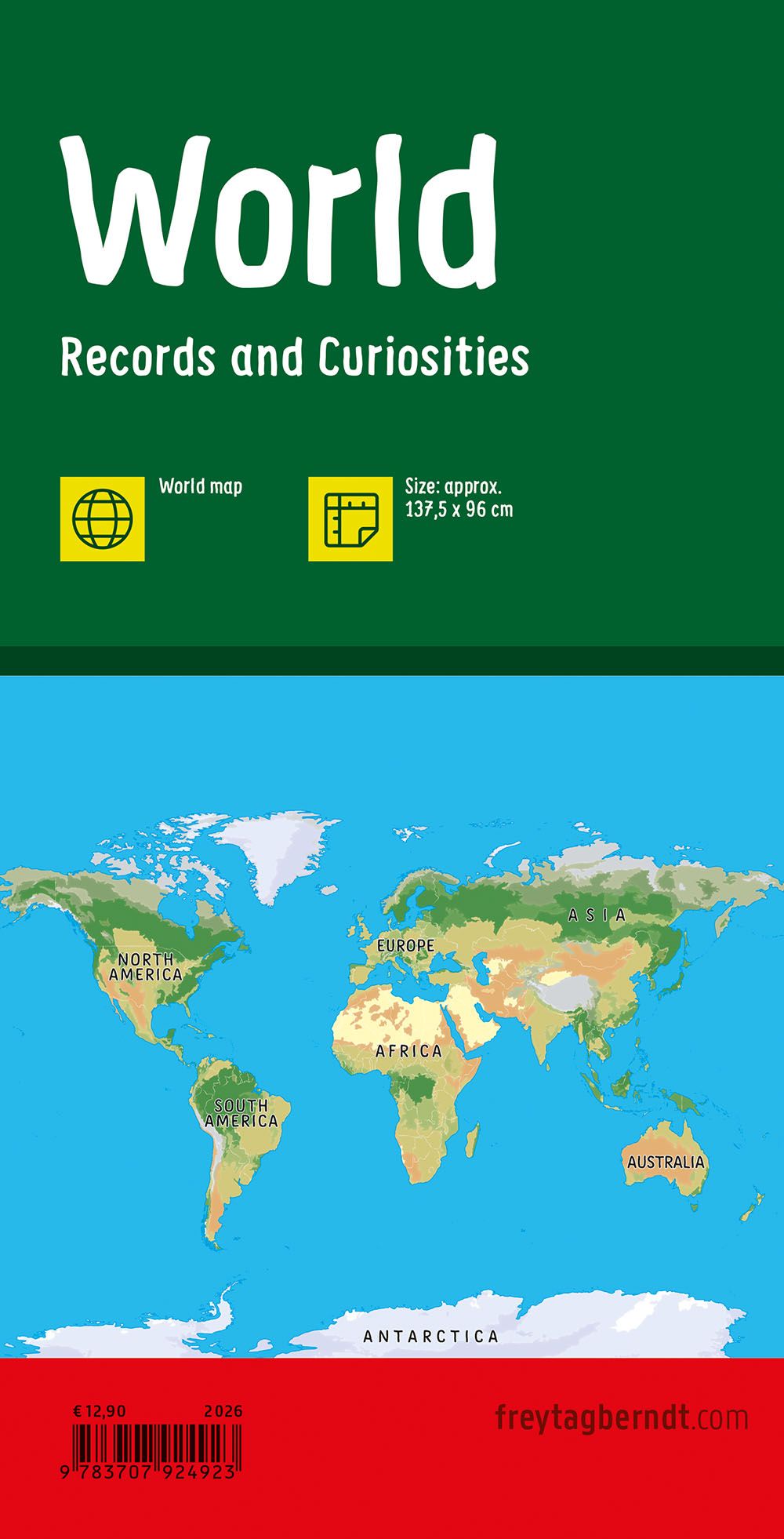
Description
This children’s world map provides a clear and engaging representation of the whole world, designed to make geography accessible and interesting for children and adults alike. The map covers every continent and country, with clear representations of oceans, major rivers, mountain ranges and key cities, combined with a rich selection of illustrations that bring the map to life and make it easy to explore. The child-friendly design facilitates learning through curiosity and conversation, making the map suitable for use in children’s rooms, classrooms and common areas. The map functions both as an educational tool and as a visual eye-catcher, inviting exploration of the world’s geography over time. Year of publication: 2025.