



Description
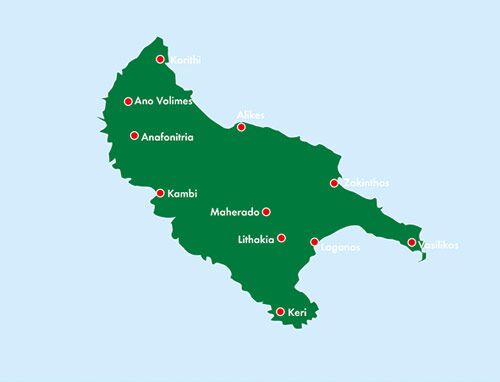
This multilingual road map of Zakynthos at a scale of 1:50,000 provides a comprehensive overview for planning journeys and excursions. The paper map allows you to see destinations in context, compare route alternatives, and select stops before you depart.
Ferries, marinas, and campsites are marked alongside the road network and points of interest. The map provides a detailed overview of Zakynthos and is practical when planning trips around the island.
Excursion tips on the reverse present key destinations in German, English, French, Italian, and Greek. The index of places helps you locate sites and link suggestions to an itinerary.
Plan your journey on paper. Unfold the map to gain an overview of a larger area and follow the connections between the places you wish to visit. The multilingual design makes the map practical to use and share with others on your trip.
Practical information: Scale 1:50,000, equivalent to 0.5 km per centimetre. Published 2019. ISBN 9783707917130. Publisher Freytag & Berndt.
