Norwegian Mapping Authority’s N50 Land Maps – Official Topographic Maps for Norway
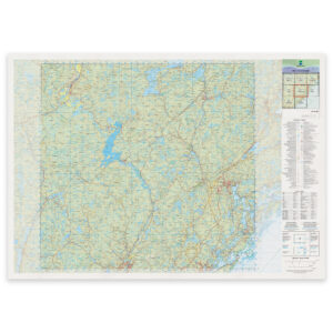
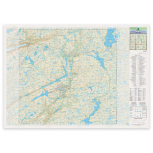
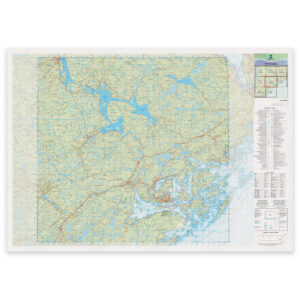
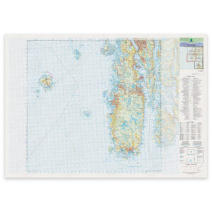
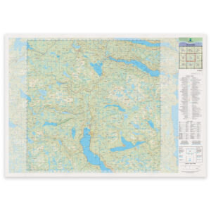
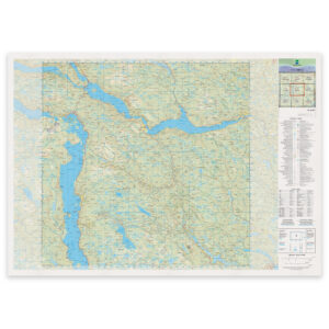
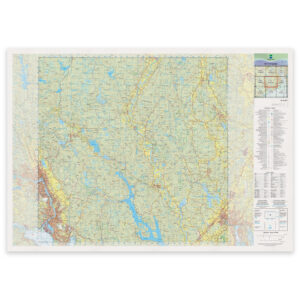
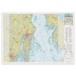
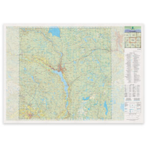
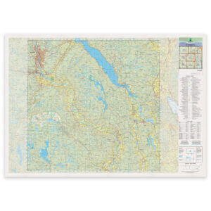
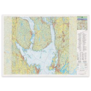
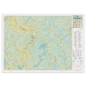
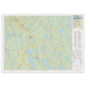
The Norwegian Mapping Authority’s N50 is Norway’s official topographic map series at a scale of 1:50,000. The maps provide precise overview of terrain, contour lines, water, trails, roads, and settlements – based on national map data from the Norwegian Mapping Authority, published in May 2025.
The maps in this series are well suited as wall maps and can be delivered ready-framed in glass and frame. The maps can also be printed directly on aluminum plate.
-
Kartverket – national map (N50): 01-A Lyngdal
From 29,57 €
Select options -

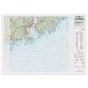
Kartverket – national map (N50): 01-C Kristiansand
From 29,57 €
Select options -
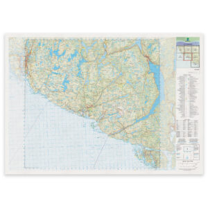
Kartverket – national map (N50): 02-B Egersund
From 29,57 €
Select options -
Kartverket – national map (N50): 02-C Flekkefjord
From 29,57 €
Select options -
Kartverket – national map (N50): 02-F Arendal
From 29,57 €
Select options -
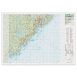
Kartverket – national map (N50): 03-F Tvedestrand
From 29,57 €
Select options -
Kartverket – national map (N50): 04-C Sinnes
From 29,57 €
Select options -
Kartverket – national map (N50): 04-G Kragerø
From 29,57 €
Select options -
Kartverket – national map (N50): 05-A Karmøy
From 29,57 €
Select options -
Kartverket – national map (N50): 05-F Fyresdal
From 29,57 €
Select options -
Kartverket – national map (N50): 05-G Eidstod
From 29,57 €
Select options -
Kartverket – national map (N50): 05-I Porsgrunn
From 29,57 €
Select options -
Kartverket – national map (N50): 05-J Tønsberg
From 29,57 €
Select options -
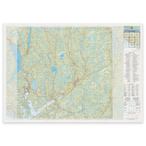
Kartverket – national map (N50): 06-H Notodden
From 29,57 €
Select options -
Kartverket – national map (N50): 06-I Kongsberg
From 29,57 €
Select options -
Kartverket – national map (N50): 06-J Moss
From 29,57 €
Select options -
Kartverket – national map (N50): 07-J Bjørkelangen
From 29,57 €
Select options -
Kartverket – national map (N50): 07-K Magnor
From 29,57 €
Select options