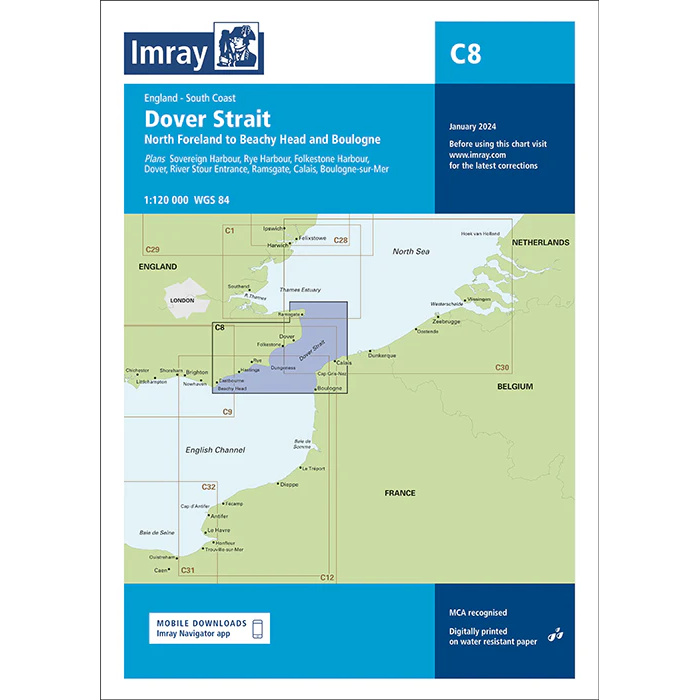
Description
This boating chart covers the Strait of Dover, including the stretch from North Foreland to Beachy Head on the English south coast and the coast of northern France from Boulogne-sur-Mer northwards. The chart has been developed for recreational boating and sailing navigation in one of Europe’s busiest and most navigationally challenging waters.
The map provides an overview of the main fairways, coastlines, approaches and key ports on both sides of the English Channel. It is well suited for route planning and overview navigation, and is often used in combination with more detailed port and local maps for safe travel through the area.
Imray is a renowned British chart manufacturer with extensive experience in nautical charts and publications for leisure boats. Their charts are designed with practical on-board use in mind, combining clear cartography with reliable nautical information for sailors and powerboaters.