Description
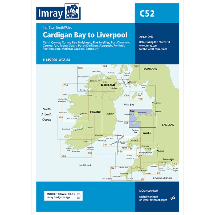
This boating map covers the waters from Cardigan Bay in North Wales to Liverpool on the west coast of England. The area encompasses parts of the Irish Sea with varying coastlines, open stretches of sea, busy shipping lanes and several important harbors and approaches used by both leisure boats and commercial traffic.
The chart is designed for route planning and overview navigation for sailboats and powerboats traveling along the coasts of Wales and North West England. It provides a clear representation of the main waters, coastlines and key approaches, and is often used in conjunction with more detailed harbor and local charts for safe navigation in a tidal and congested area.
Imray is a renowned British chart manufacturer with extensive experience in nautical charts and publications for leisure boats. Their charts are designed with practical on-board use in mind, combining clear cartography with reliable nautical information for sailors and powerboaters.