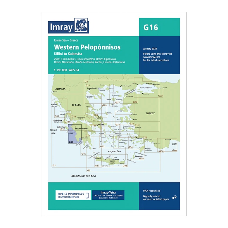
Description
This overview map from Imray covers the west coast of the Peloponnese in the Ionian Sea, from Kíllini in the north to Kalamáta in the south. The map provides a clear regional overview of a popular sailing area with long stretches of coastline, open bays and important ports along the western part of the Greek mainland.
The map includes charts and approaches to Limni Kíllinis, Limni Katákolo, Órmos Kiparissías, Órmos Navarínou, Stenón Methónis, Koróni and Liménas Kalamátas, among others. It is particularly suitable for route and passage planning between the Ionian Islands, the west coast of the Peloponnese and further sailing to the south of Greece.
Printed on water-resistant paper and manufactured to MCA approved standards, with support for digital updates via the Imray Navigator app.