
Description
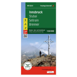
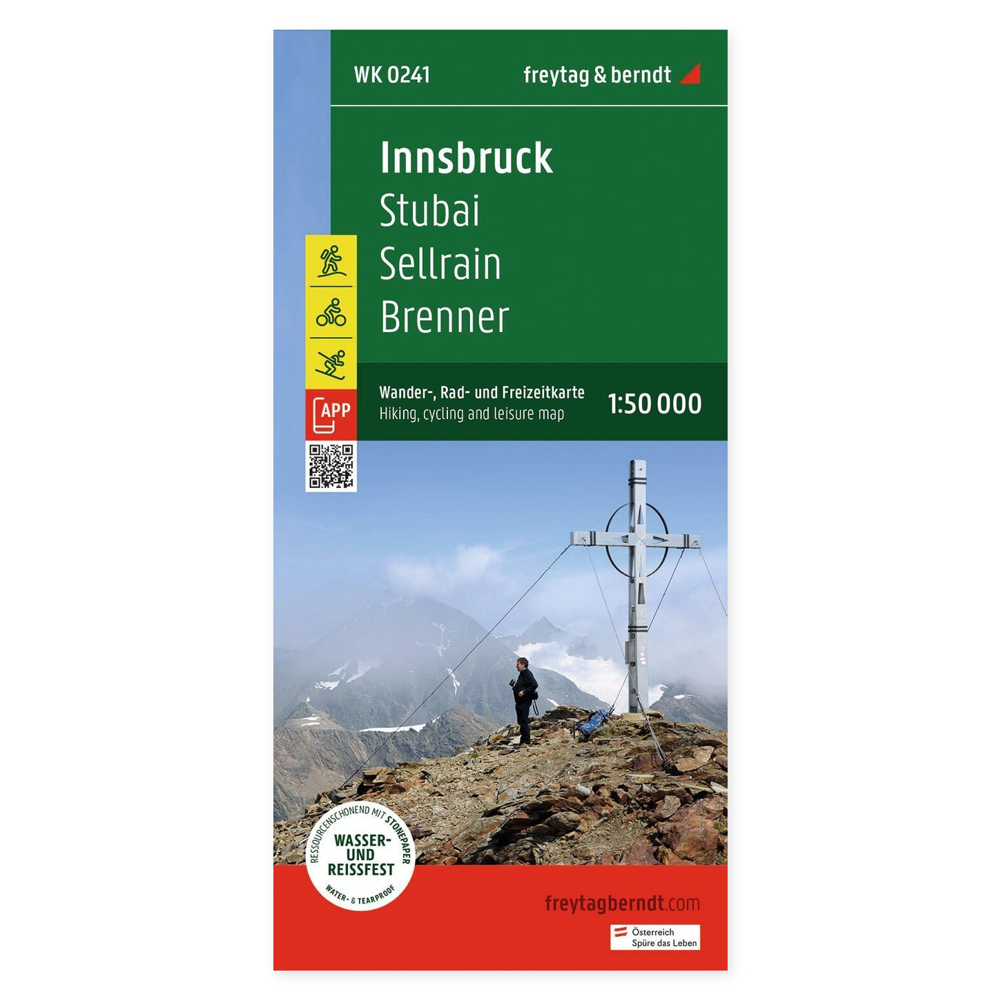
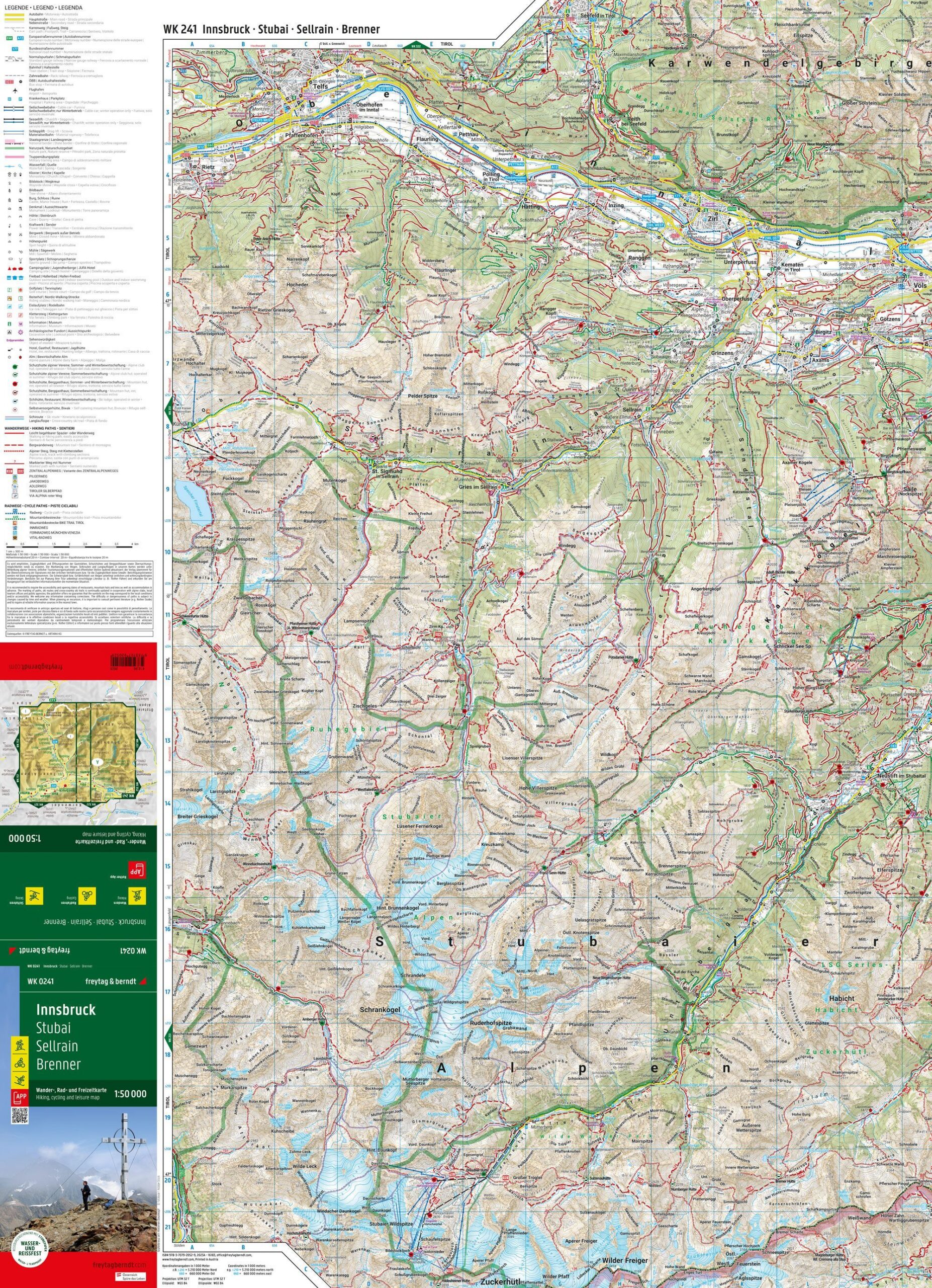
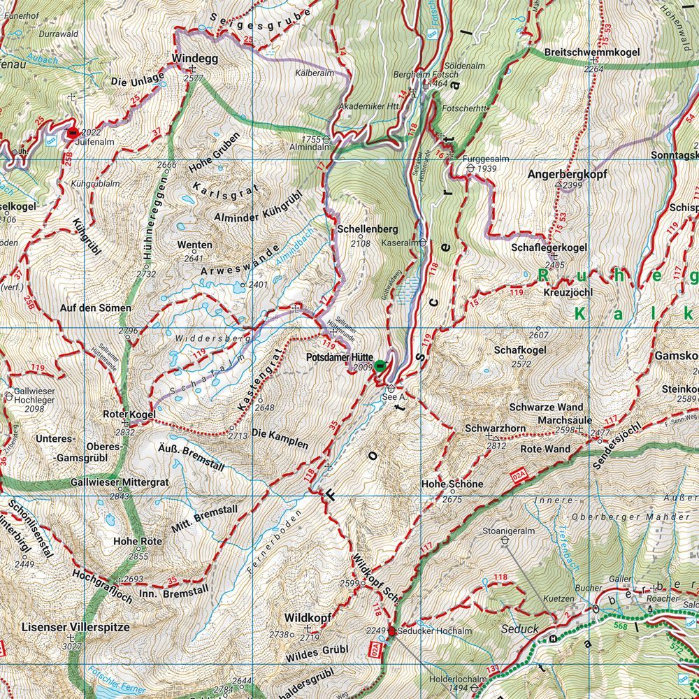
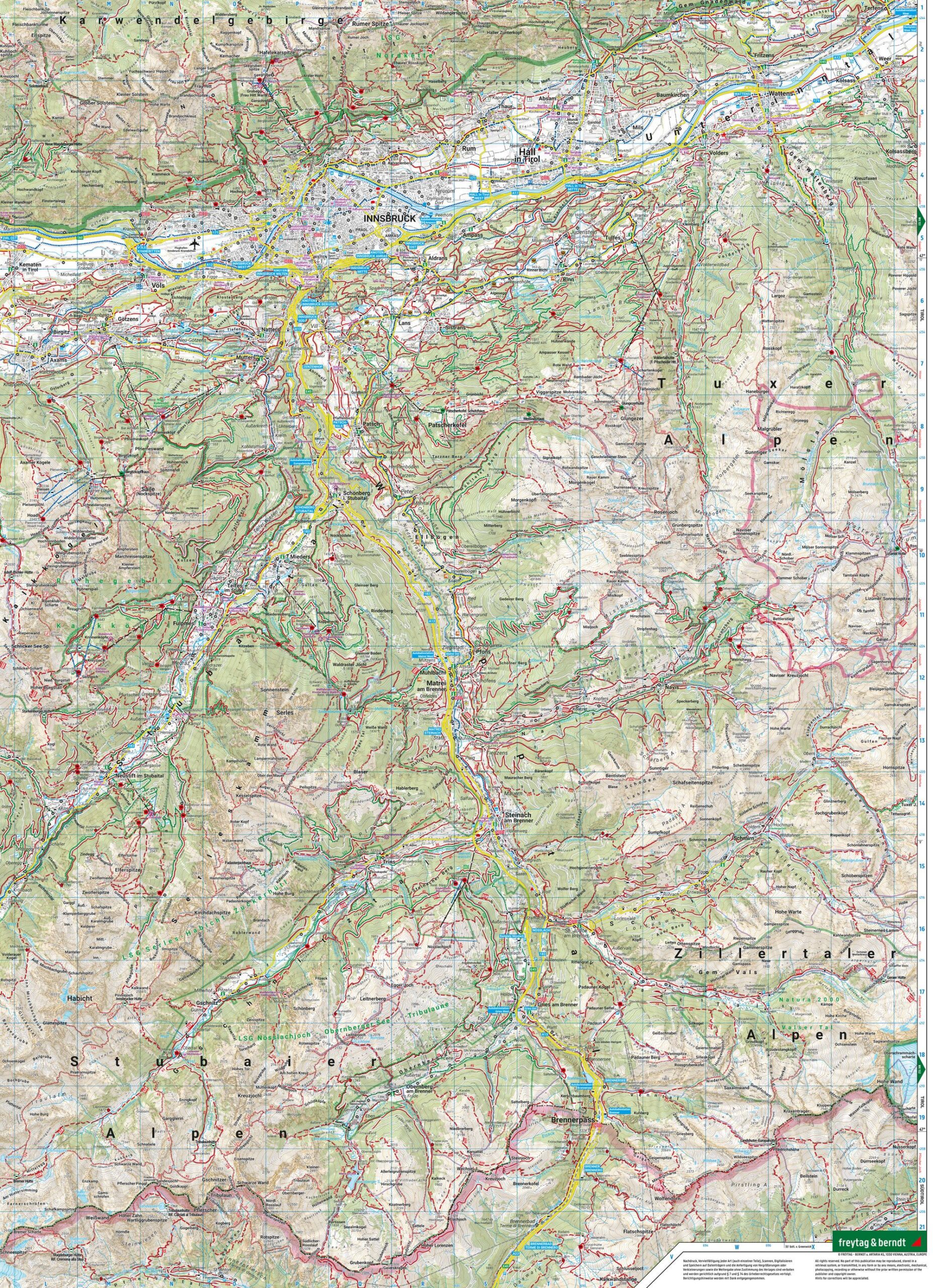
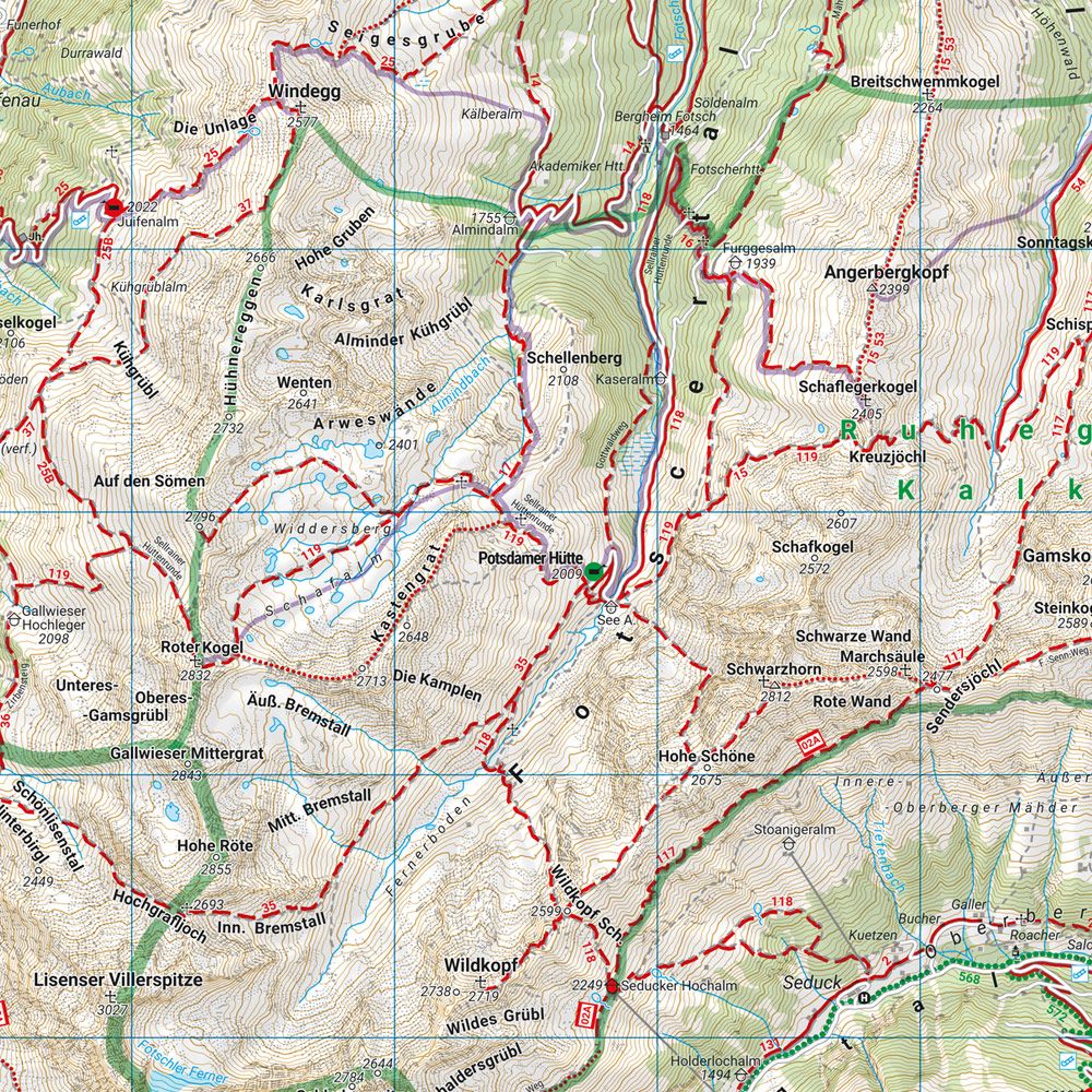
Innsbruck, Stubai, Sellrain and Brenner – Hiking Map (Waterproof) from Freytag & Berndt is designed for planning trips and orienting yourself in the area.
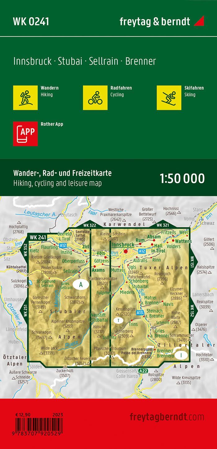
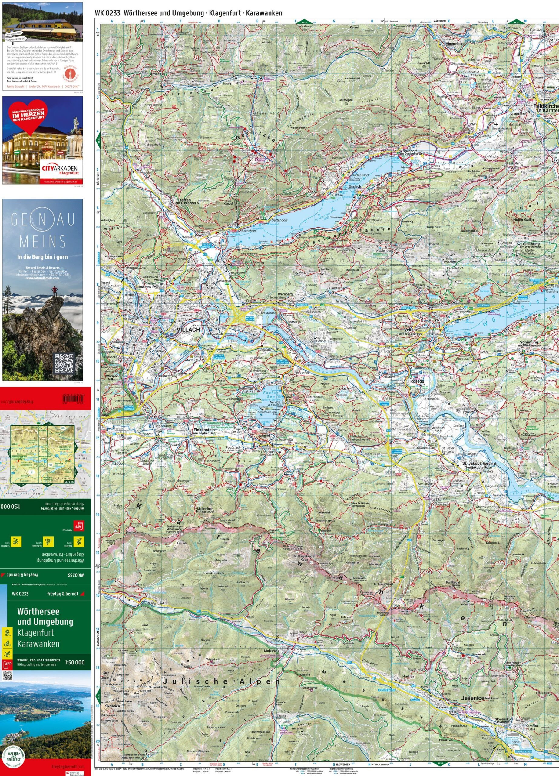
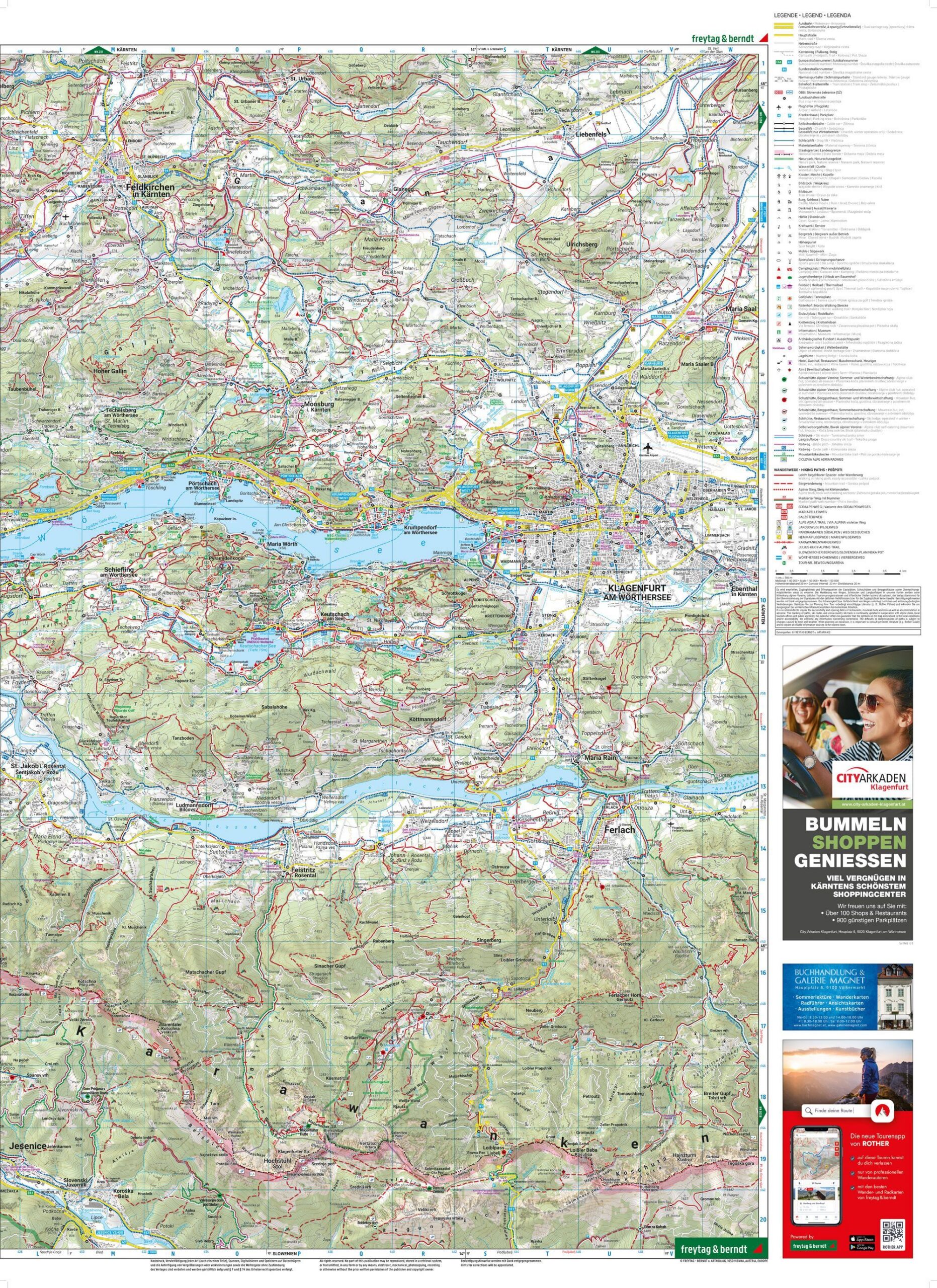
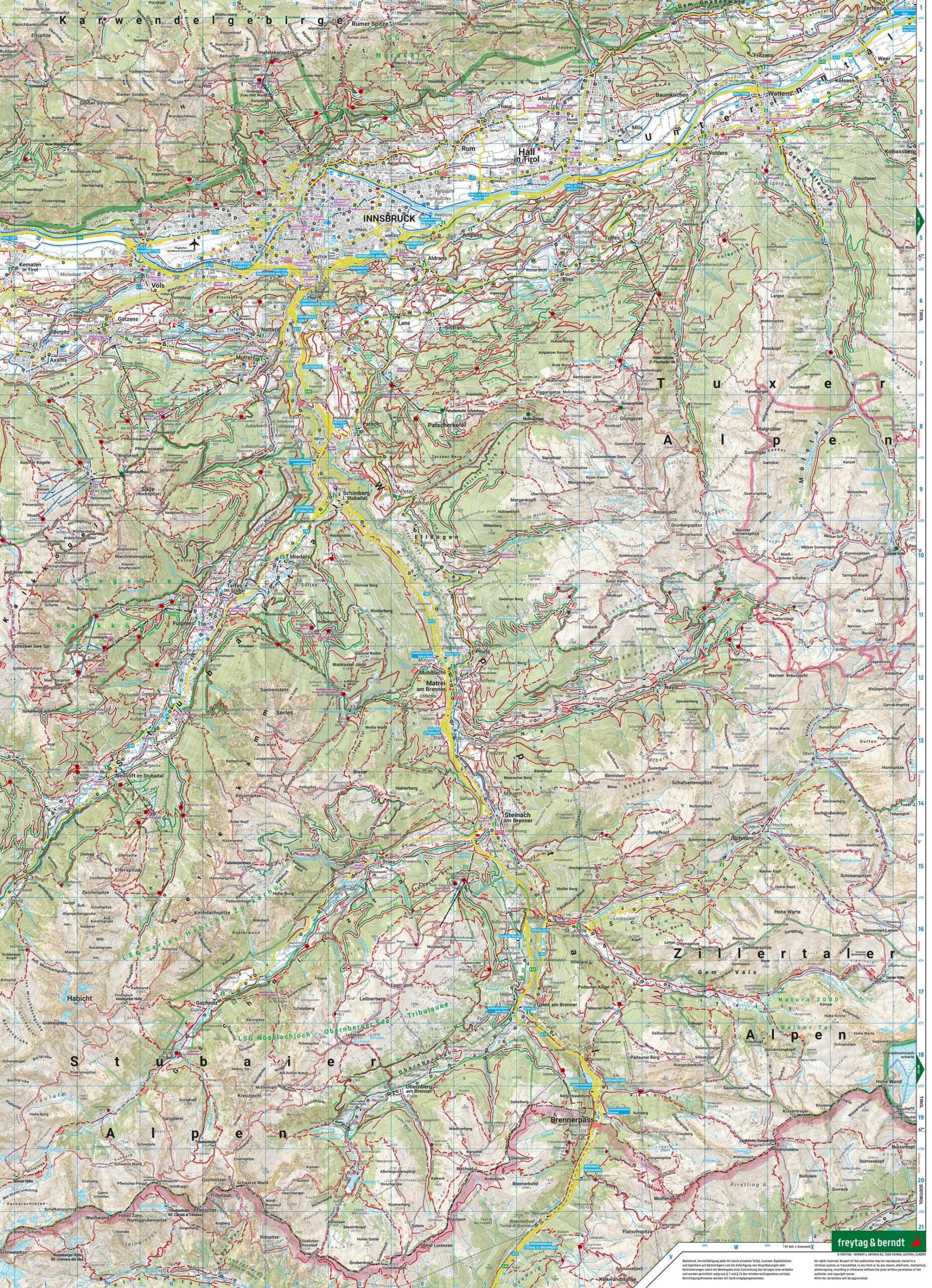
Content and Coverage. Hiking and long-distance trails, cycling and mountain biking routes are gathered in one map covering Innsbruck and the mountain areas towards Stubai, Sellrain, and Brenner. Ski routes, cross-country trails, and tourist information are also marked. The map is waterproof and tear-resistant, printed on both sides, with an unfolded format of approximately 82 × 59 cm. The Rother App provides a digital supplement to the paper map.
Plan on paper. An unfolded map allows you to compare several locations simultaneously and view your route in context. Use place names and the map’s legend to find relevant stops and choose which areas you wish to explore further.
Practical information: Scale 1:50,000. Publication year 2023. ISBN 9783707920529. Item number WK 0241. Publisher Freytag & Berndt.