Description
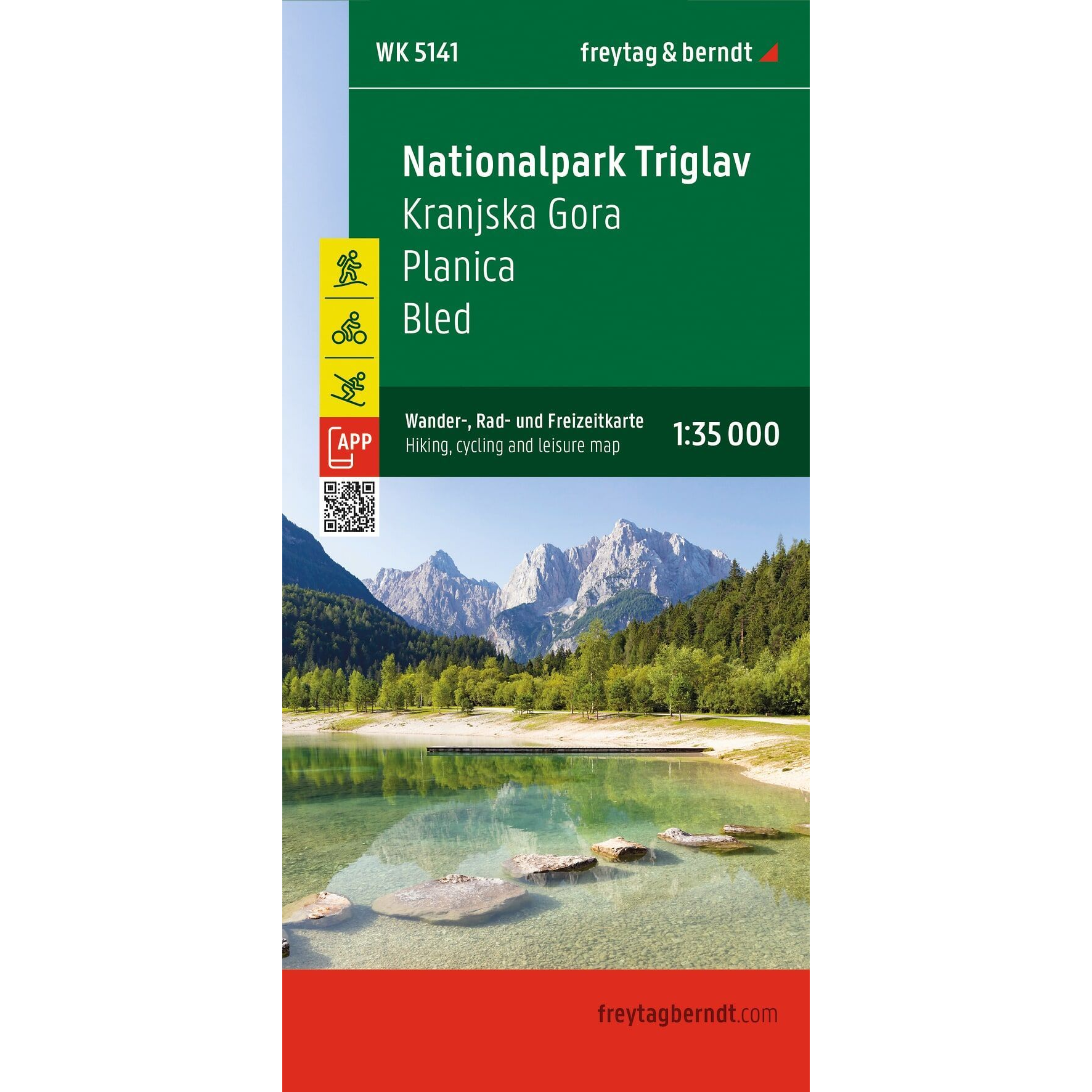
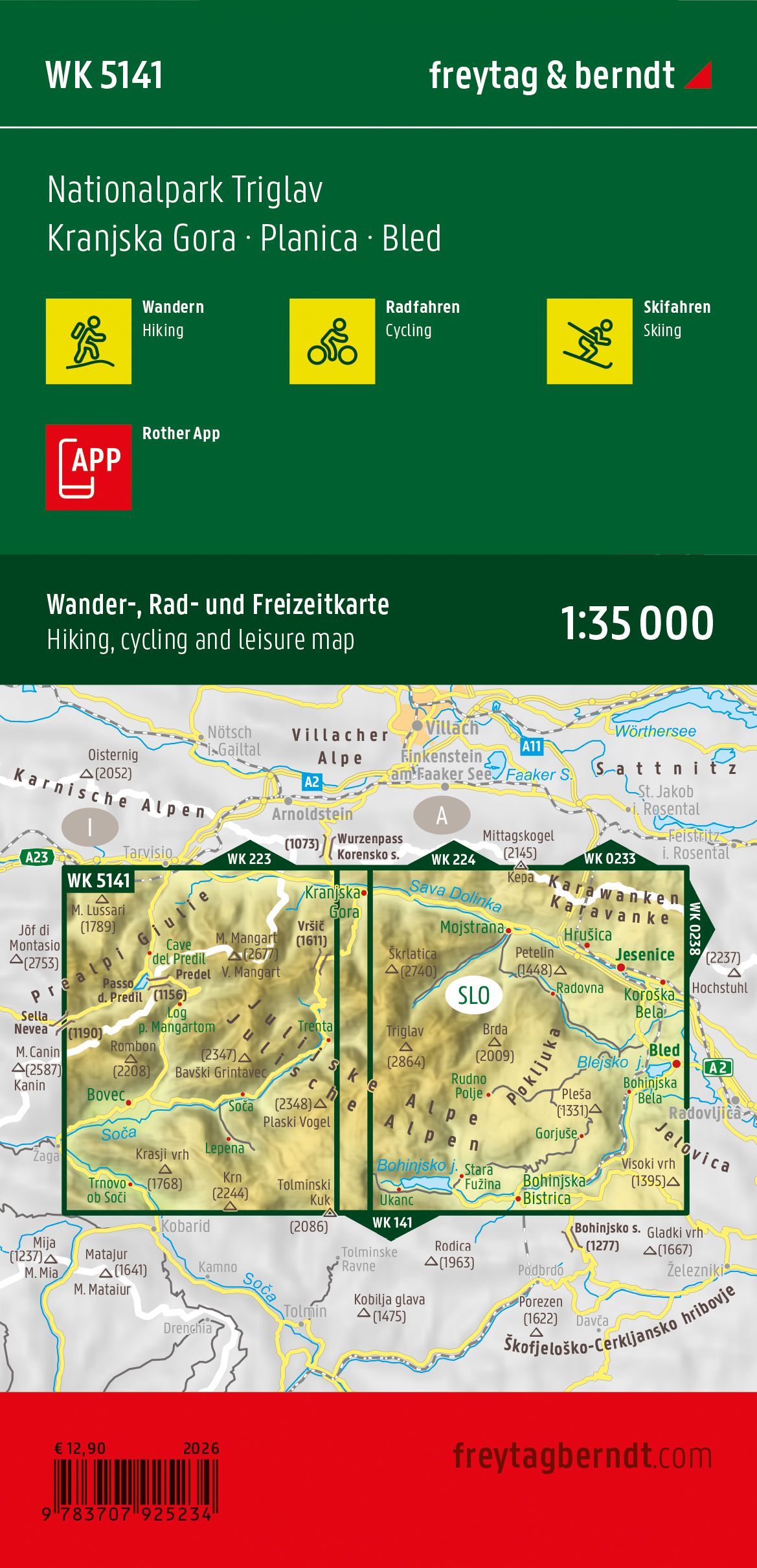
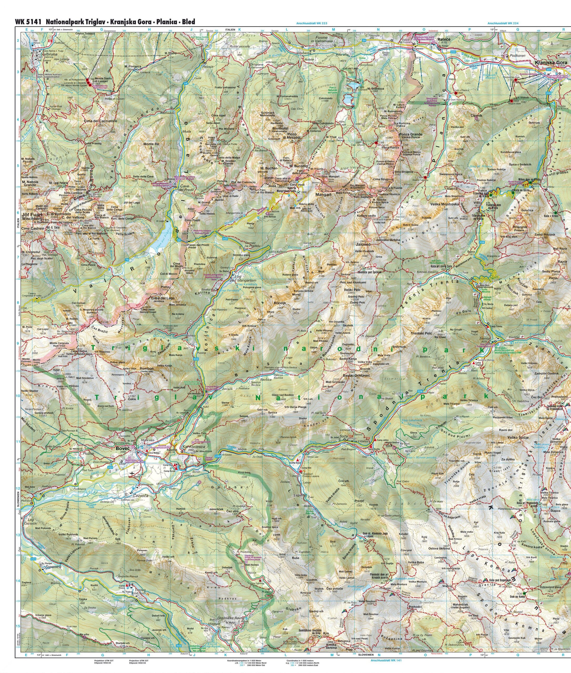
Triglav National Park – Hiking Map (waterproof, multilingual) by Freytag & Berndt is a detailed hiking map covering Slovenia’s only national park and large parts of the Julian Alps. The map includes Kranjska Gora, Planica, Bled, and Triglav, among other locations, and is designed for hiking, biking, mountain biking, and winter activities.
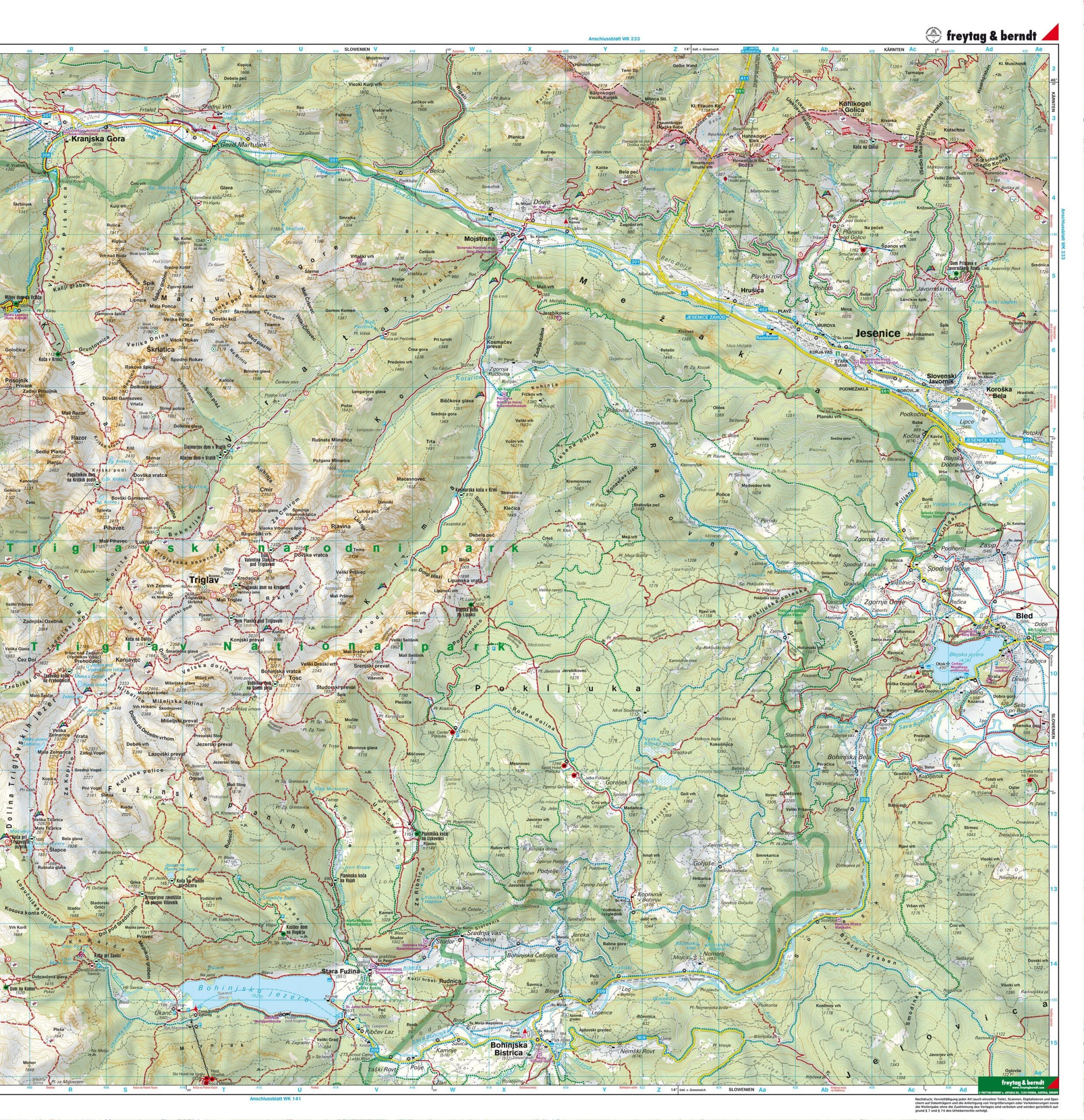
The map is printed at a scale of 1:35, 000, providing a high level of detail for safe and precise navigation in the mountains. It shows marked hiking trails, long-distance routes, cycling and mountain biking routes, ski trails, and cross-country ski trails, as well as tourist information and GPS coordinates. The map covers popular areas around Triglav, the Soča Valley, and the Julian Alps, and is suitable for both day hikes and longer mountain treks.
The map is printed on waterproof and tear-resistant material, so it can withstand demanding conditions and frequent use. The double-sided map has an unfolded size of approximately 82 × 78 cm, yet it can be folded down to a convenient pocket size. The map can also be used with the freytag & berndts map app for easy digital navigation.
Release year: 2026.