
Description
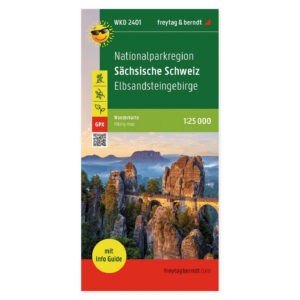
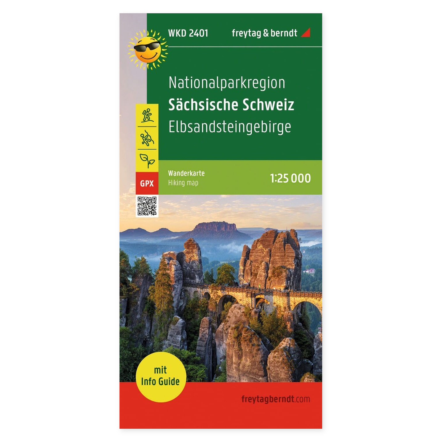
Sächsische Schweiz and Elbsandsteingebirge – hiking map with info guide (waterproof) from Freytag & Berndt is designed for planning trips and finding your way around the area.
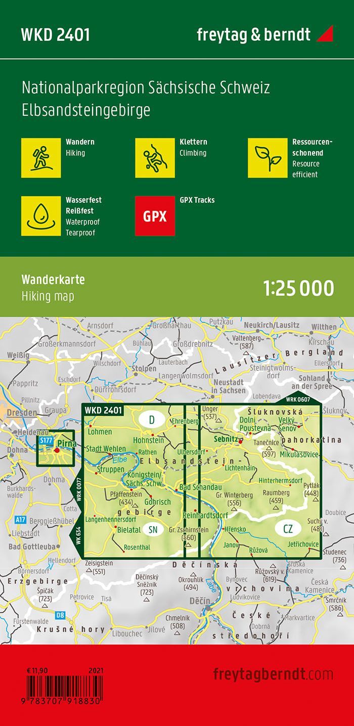
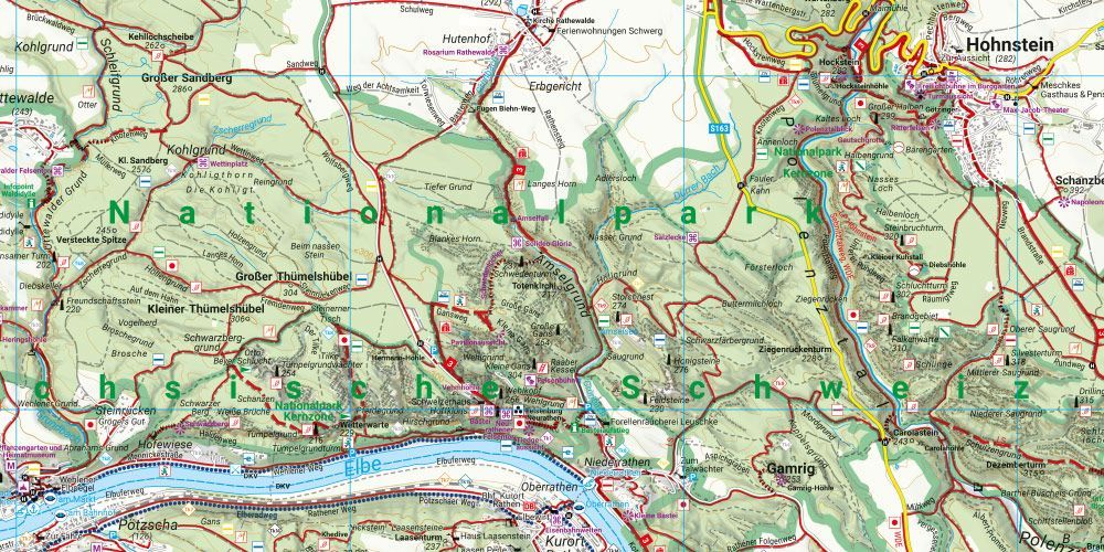
Contents and coverage. Detailed hiking map of the Sächsische Schweiz and Elbsandsteingebirge national park region, with coverage extending into Böhmische Schweiz in the Czech Republic. The map shows hiking and long-distance trails, climbing areas, via ferratas, and the Elberadweg. GPX tracks can be downloaded. The accompanying info guide presents excursion destinations such as Kirnitzschklamm, Felsenbühne Rathen, and historic transport services. The map is waterproof and tear-resistant, printed on both sides, with a format of approximately 70 × 82 cm.
Plan on paper. A folded-out map lets you compare several locations at once and see your route in context. Use place names and the map legend to find points of interest and decide which areas you want to explore further.
Practical information: Scale 1:25,000. Year of publication 2021. ISBN 9783707918830. Item number WKD 2401. Publisher Freytag & Berndt.