
Description
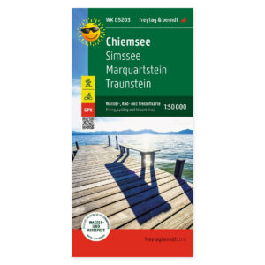
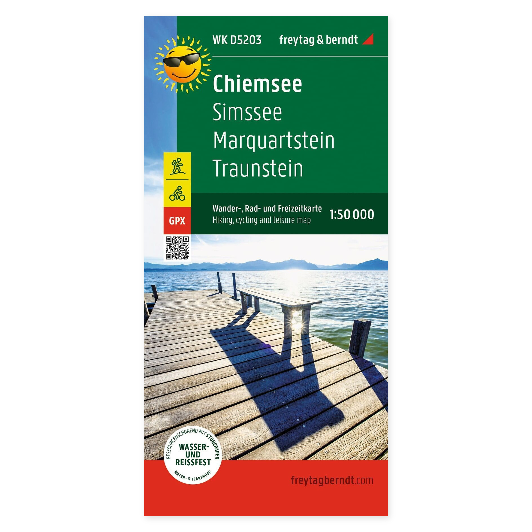
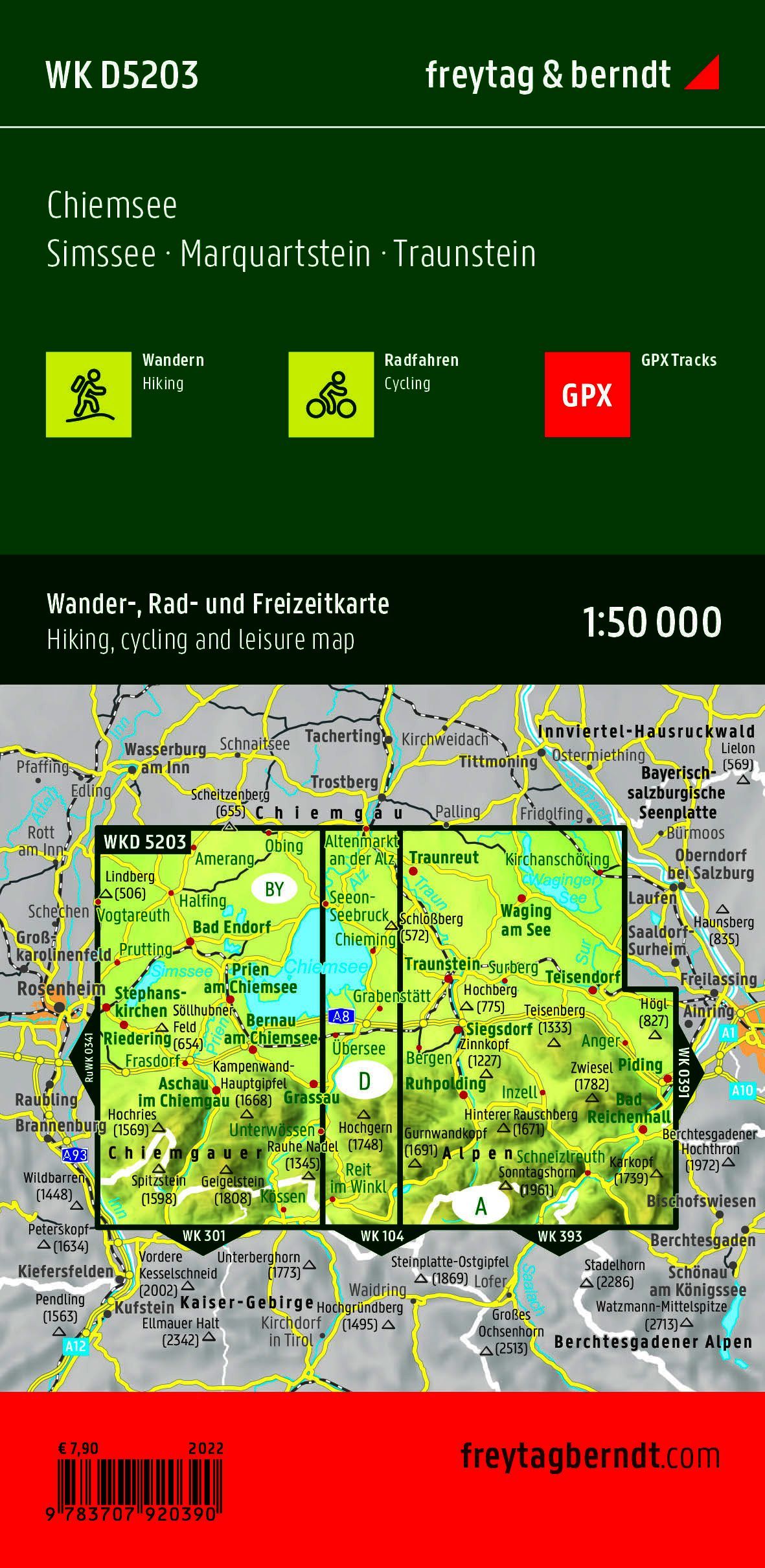
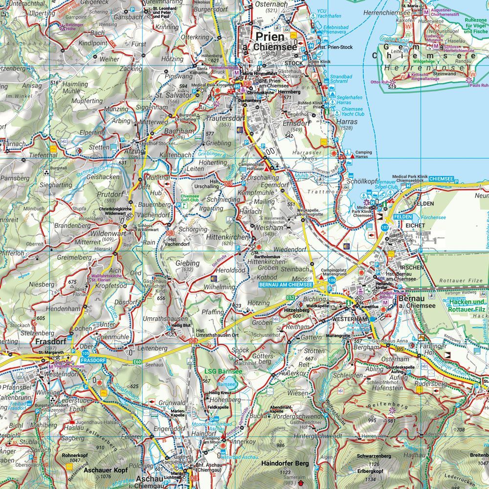
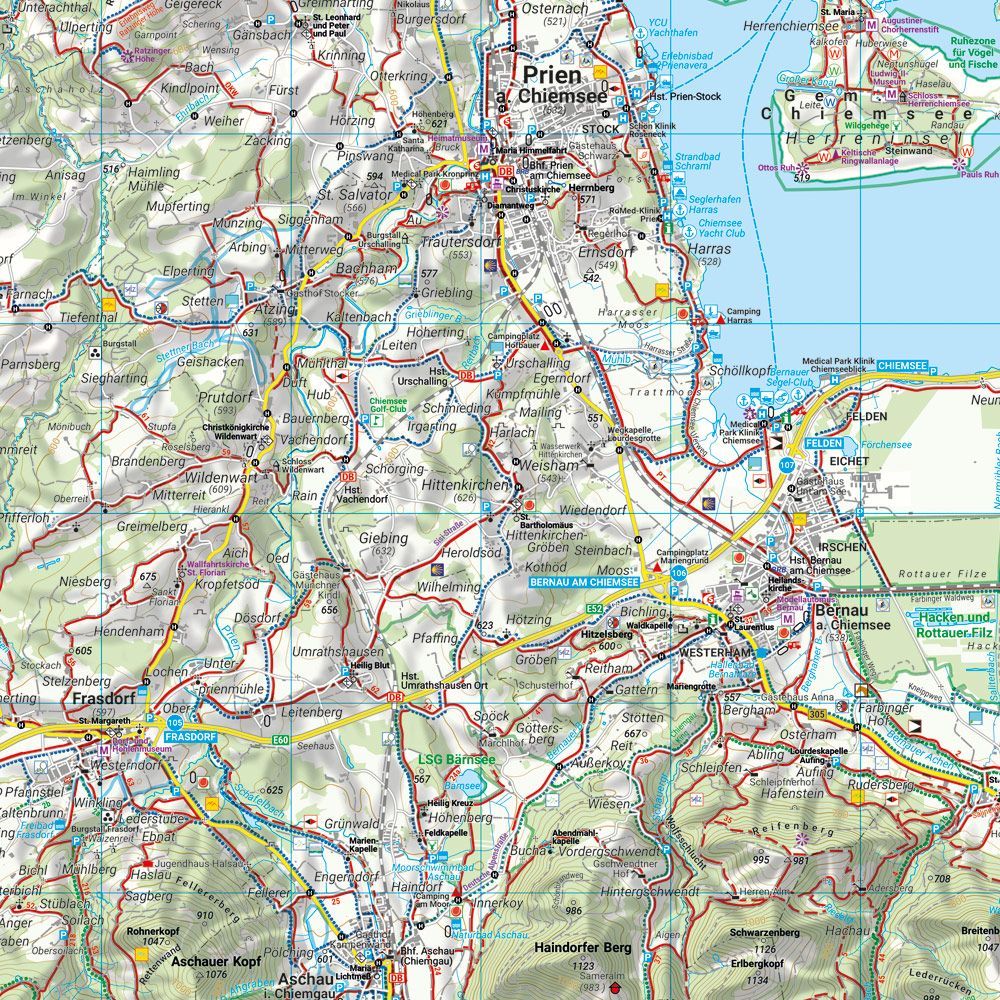
Chiemsee, Simssee, Marquartstein and Traunstein – hiking map (waterproof) from Freytag & Berndt is designed to help you plan trips and find your way around the area.
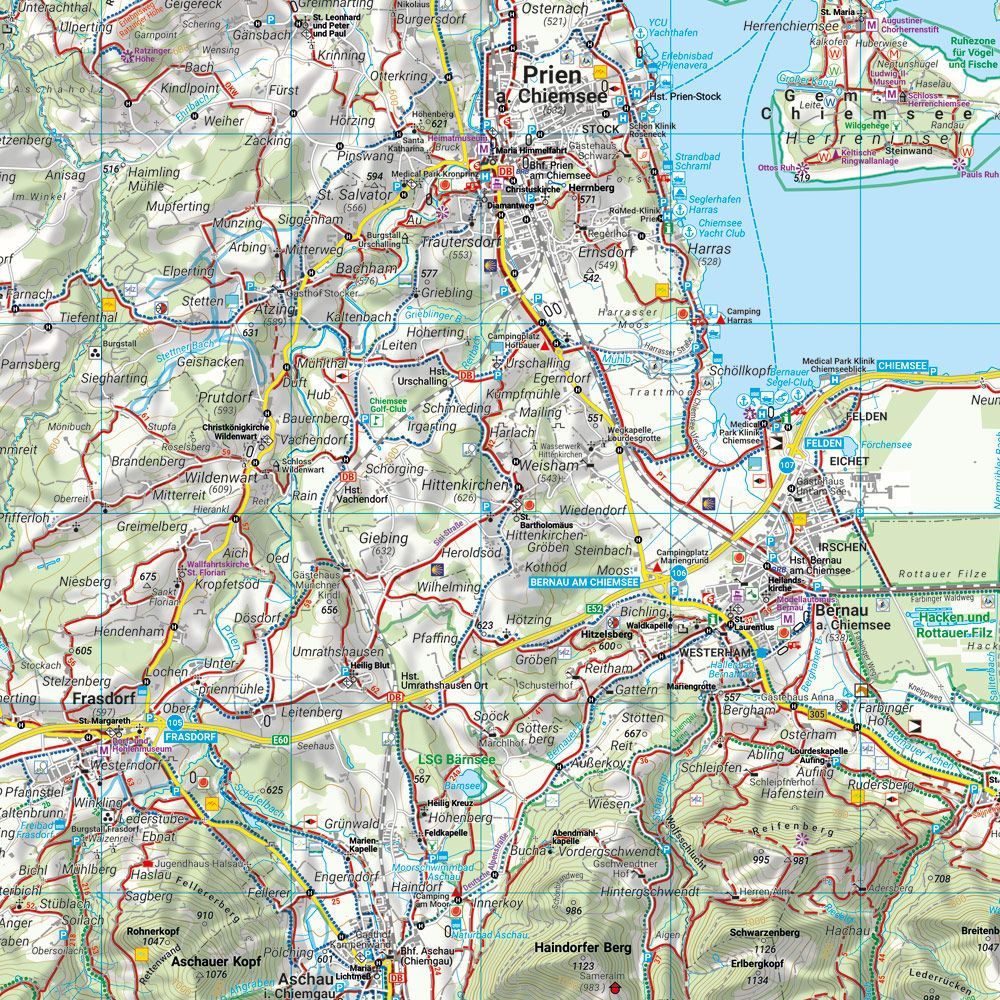
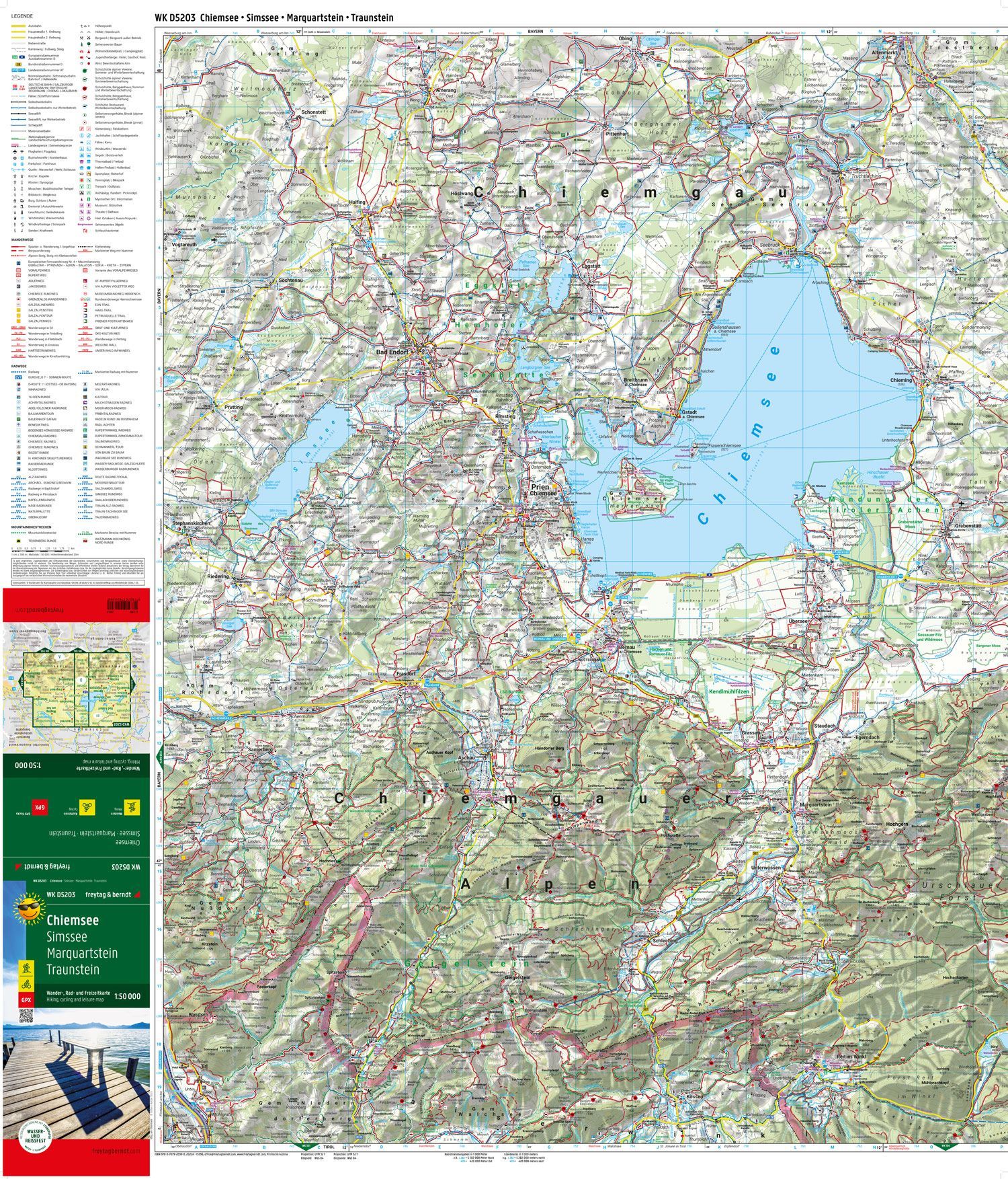
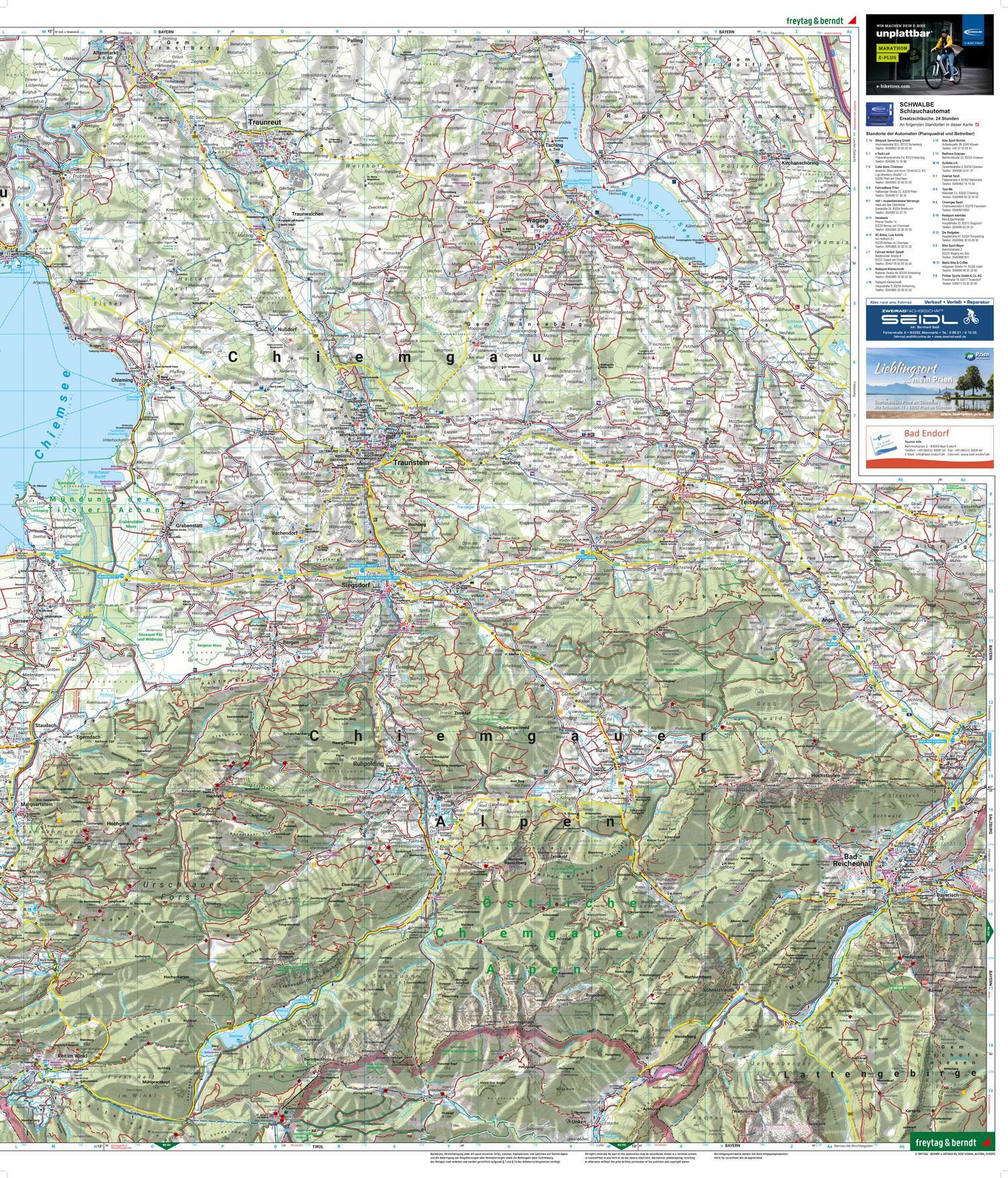
Content and coverage. Hiking and cycling map of Chiemsee and Chiemgau, including Simssee, Marquartstein, and Traunstein. The map shows hiking and long-distance trails, cycling routes, and mountain bike trails. GPX tracks provide a digital supplement for planning. The paper map is waterproof and tear-resistant, printed on both sides, with an unfolded size of approximately 82 × 69.5 cm. This is the map edition without an info guide, identified by ISBN 9783707920390.
Plan on paper. An unfolded map gives you room to compare several locations at once and see your route in context. Use place names and the map’s legend to find points of interest and decide which areas to explore further.
Practical information: Scale 1:50,000. Year of publication 2022. ISBN 9783707920390. Item number WK D5203. Publisher Freytag & Berndt.