
Description
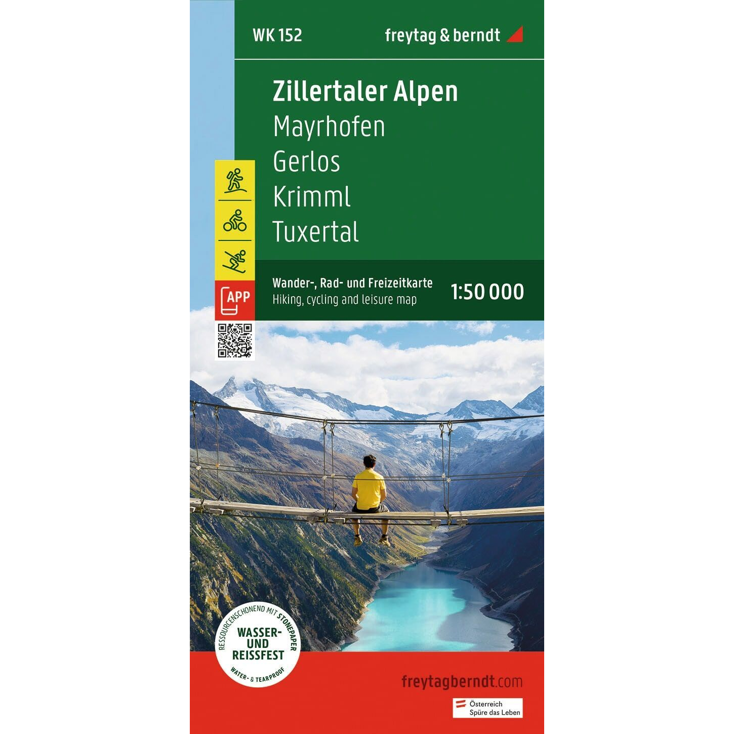
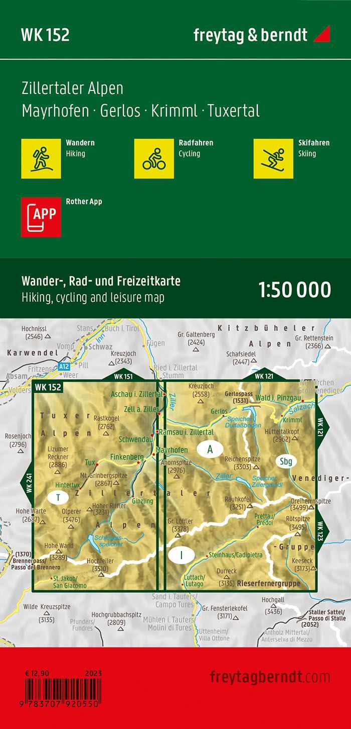
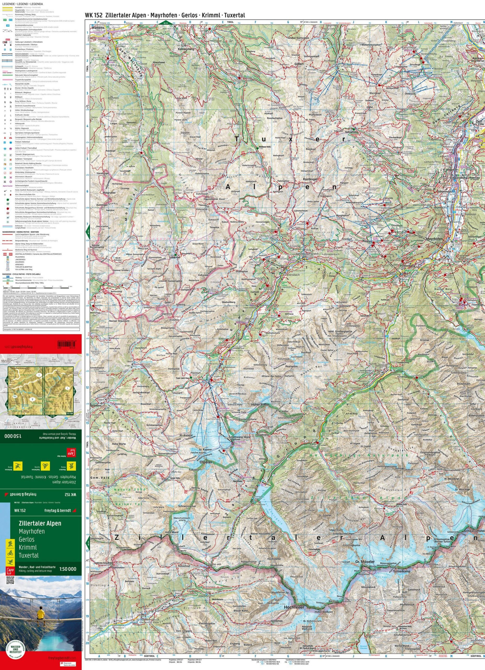
The Freytag & Berndt WK 0152 is a detailed hiking, biking, and recreational map of the Zillertal Alps, one of the most spectacular high-mountain regions in the Alps. The map covers large parts of the border region between Tyrol in Austria and South Tyrol in Italy, and is perfect for hiking, biking, mountaineering, and winter activities.
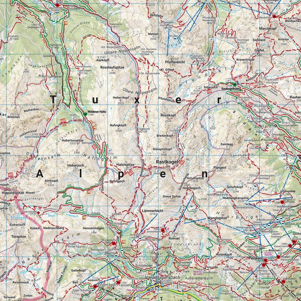
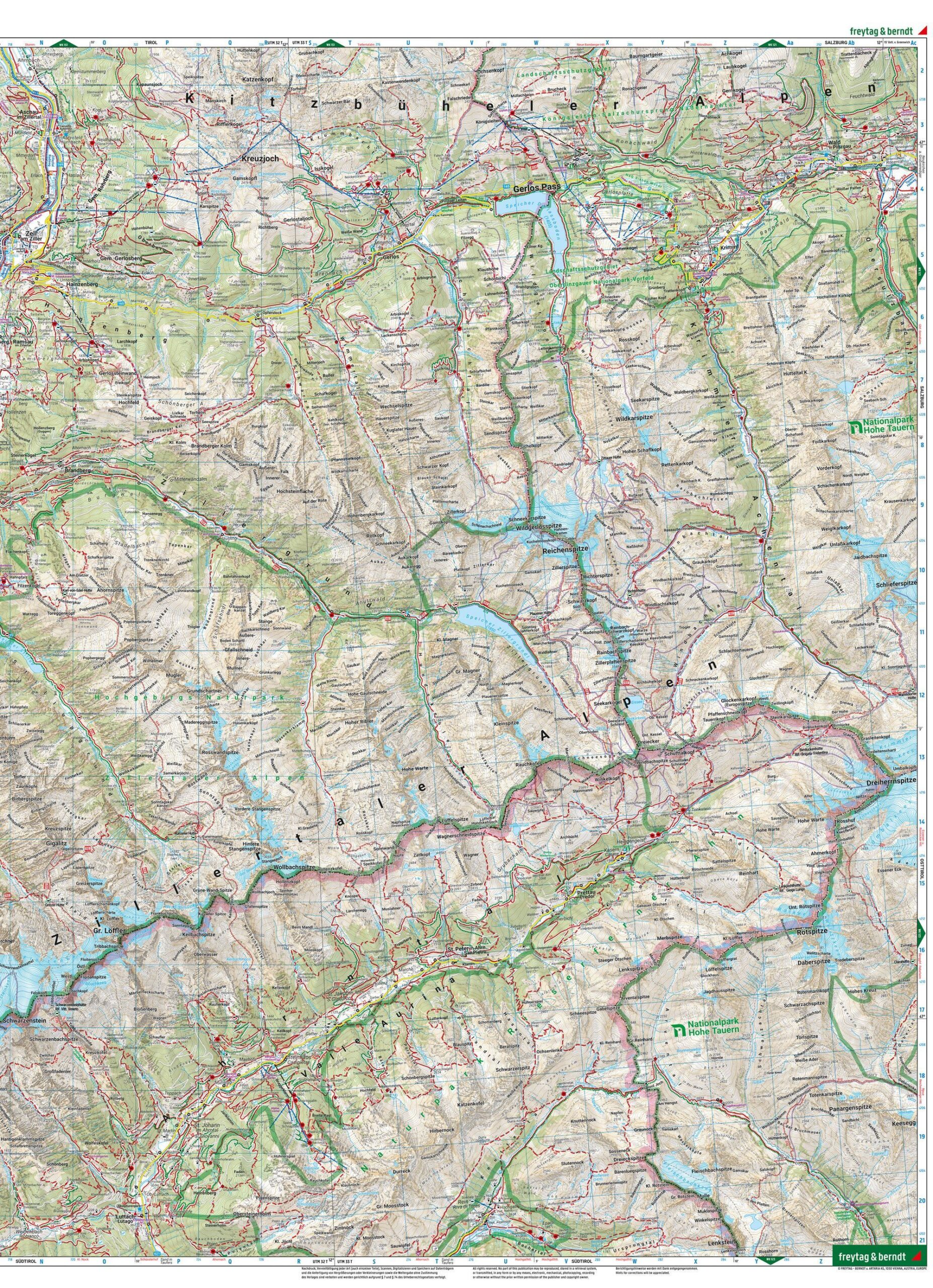
The map shows an extensive network of marked hiking trails, long-distance routes, bike routes, mountain bike trails, ski routes, and cross-country ski trails, along with tourist information to make planning easier. Among the best-known areas covered are Zillertal, Mayrhofen, Hintertux, Tuxertal, Gerlostal, Krimml, Krimmler Wasserfälle, Ahrntal, Olperer, Hochfeiler, and large parts of the Zillertaler Alps Nature Park, as well as the areas bordering the Hohe Tauern National Park.
The map is printed on water- and tear-resistant material, making it ideal for use in harsh weather conditions in the high mountains. With access to the Rother app, you also get digital map features that serve as a useful supplement on your hike. The clear cartography makes the map easy to read both while planning at home and out in the field. The 2023 edition features updated map data from Freytag & Berndt with the latest available information on hiking trails, routes, and tourist information.
Release year: 2023.