



Description
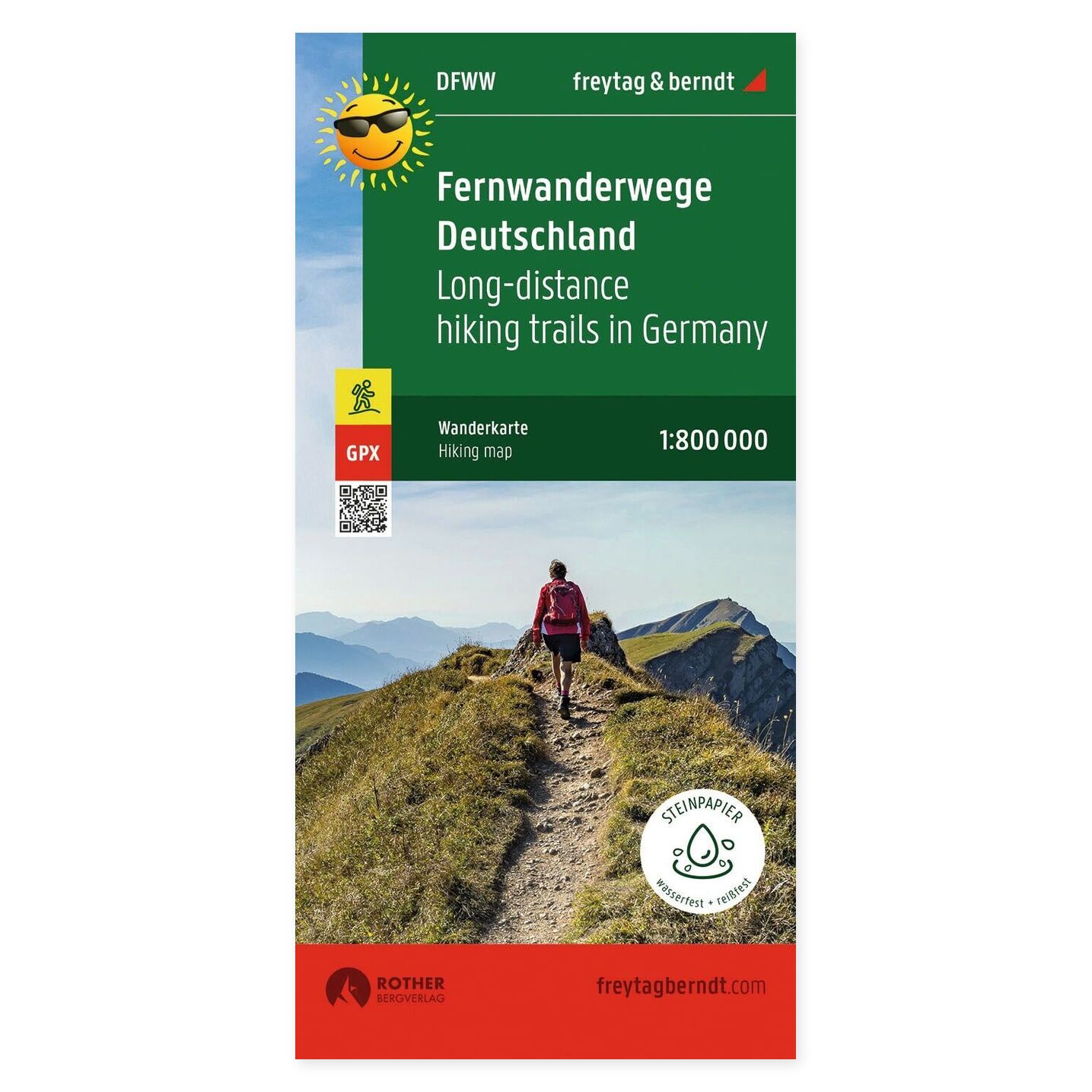
Long-distance trails in Germany – hiking map (waterproof) from Freytag & Berndt is designed for trip planning and orientation.
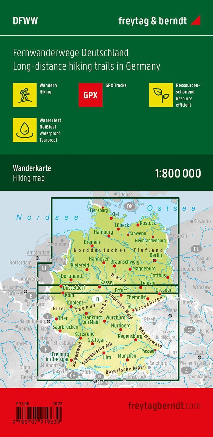
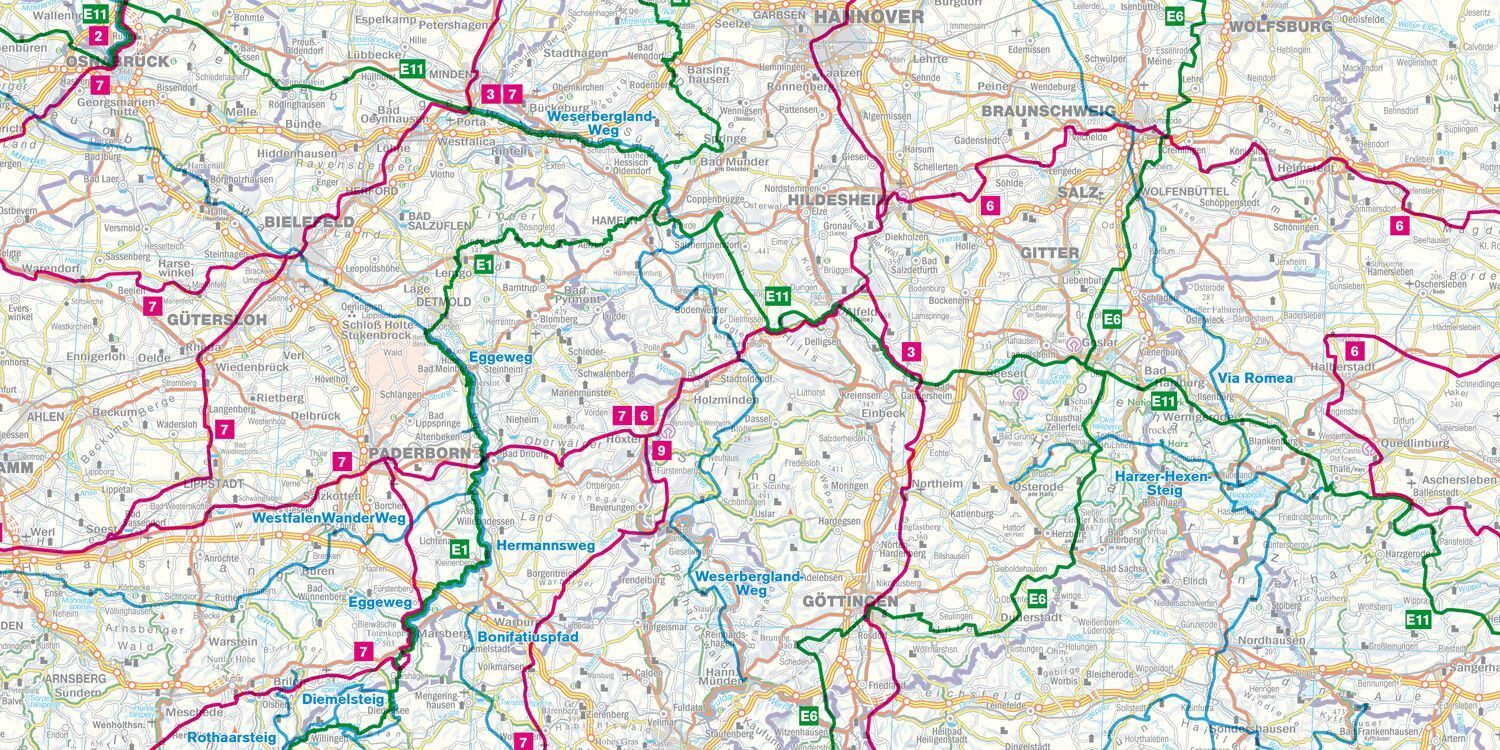
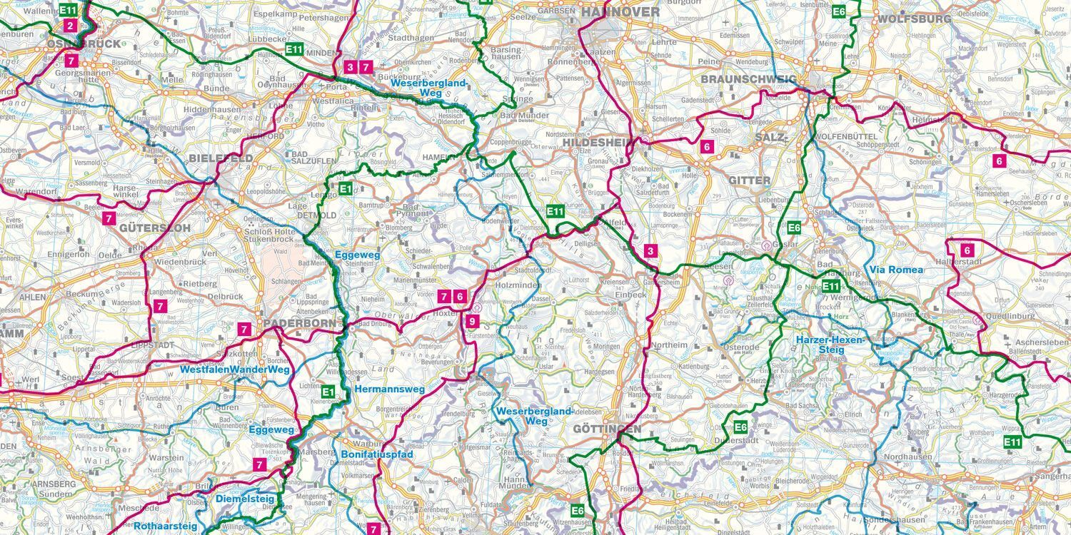
Content and coverage. Overview map of long-distance trails in Germany, including German and European long-distance hiking routes and pilgrimage paths in the St. James’ Way network. GPX tracks can be downloaded as a digital supplement. The map is waterproof and tear-resistant, printed on both sides with an unfolded format of approximately 61 × 90 cm. The scale is suitable for comparing longer routes and seeing connections between stages, rather than detailed orientation at every junction.
Plan on paper. An unfolded map provides space to compare multiple locations simultaneously and see the itinerary in context. Use place names and the map legend to find relevant stops and choose which areas to explore further.
Practical information: Scale 1:800,000. Publication year 2021. ISBN 9783707919639. Item number DFWW. Publisher Freytag & Berndt.
