


Description
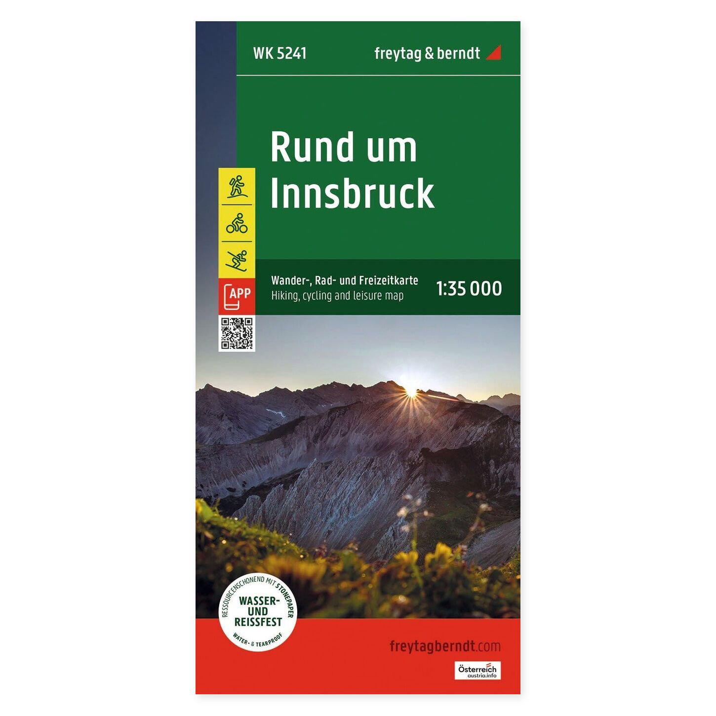
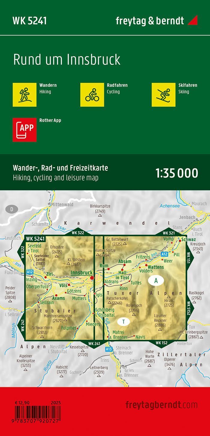
Innsbruck and Surroundings – Hiking Map (Waterproof) at a scale of 1:35,000 provides a detailed starting point for planning trips and navigating the area. The map can be used at home before departure and taken along when you want geography easily accessible on the go.
Hiking trails, long-distance trails, and cycling routes make the map useful for several types of excursions. It also shows mountain bike routes, ski routes, and cross-country ski trails, providing a comprehensive overview of outdoor opportunities in the area.
Waterproof and tear-resistant map with Rother App combines a paper map with a digital supplement from the publisher. The unfolded format is approximately 69 × 82 cm. The map is printed on both sides and is well-suited for pre-trip planning.
See the journey as a whole. Use the paper map to find places you wish to visit, compare the locations of destinations, and discuss the trip plan with others. It is practical when you want a larger overview than a small screen section provides.
Practical information: Scale 1:35,000. Year of publication 2024. ISBN 9783707920727. Publisher Freytag & Berndt.
