
Description
Understand the map before following the route.
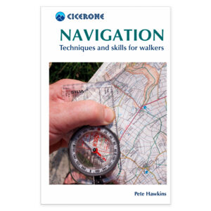
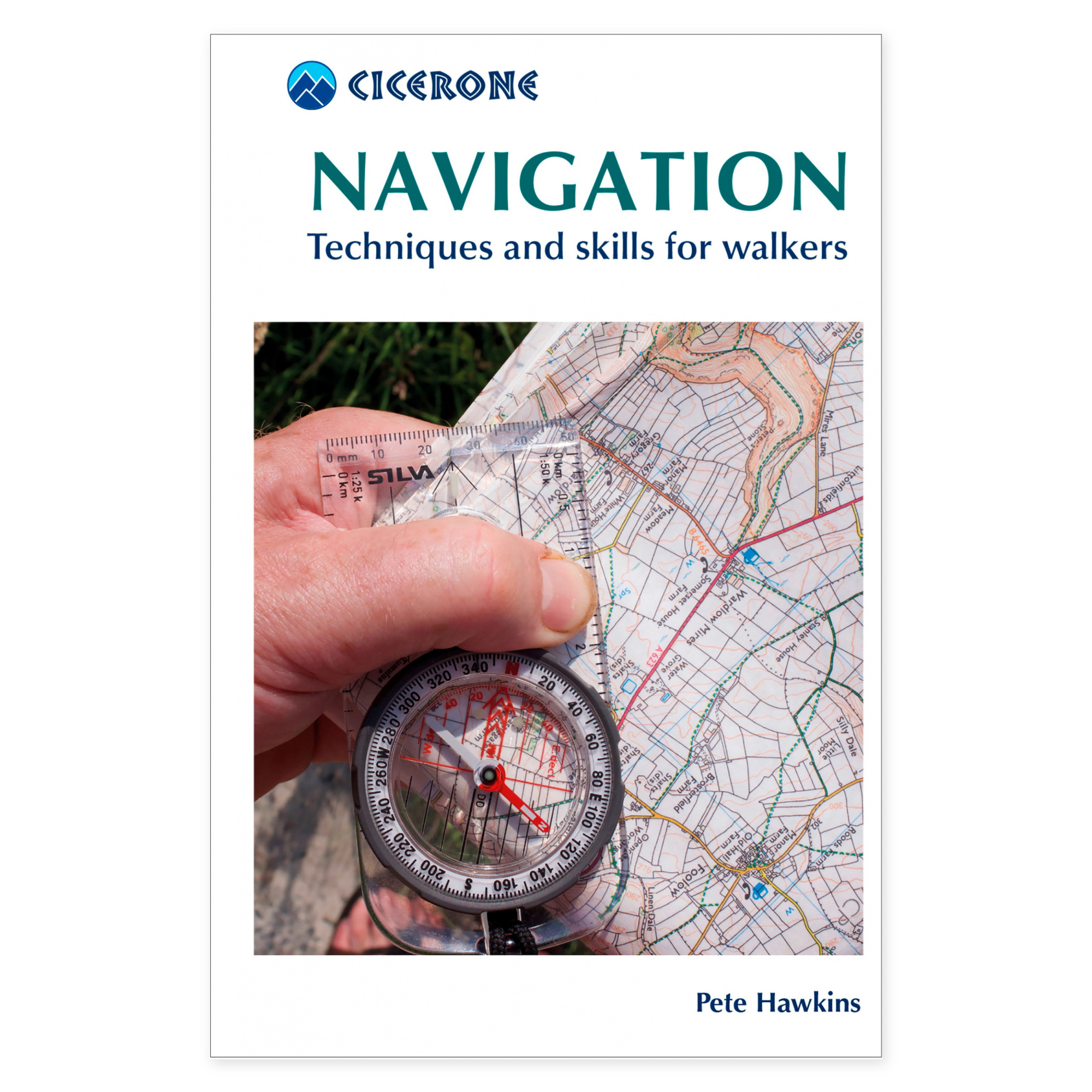
A good hiking map tells you more than just where the trail goes. Navigation by Pete Hawkins demonstrates how to read terrain features, scales, and map symbols, and how to use this information to plan a trip. This small book is suitable for both home study and as a reference when practicing skills outdoors.
From contour lines to compass bearings.
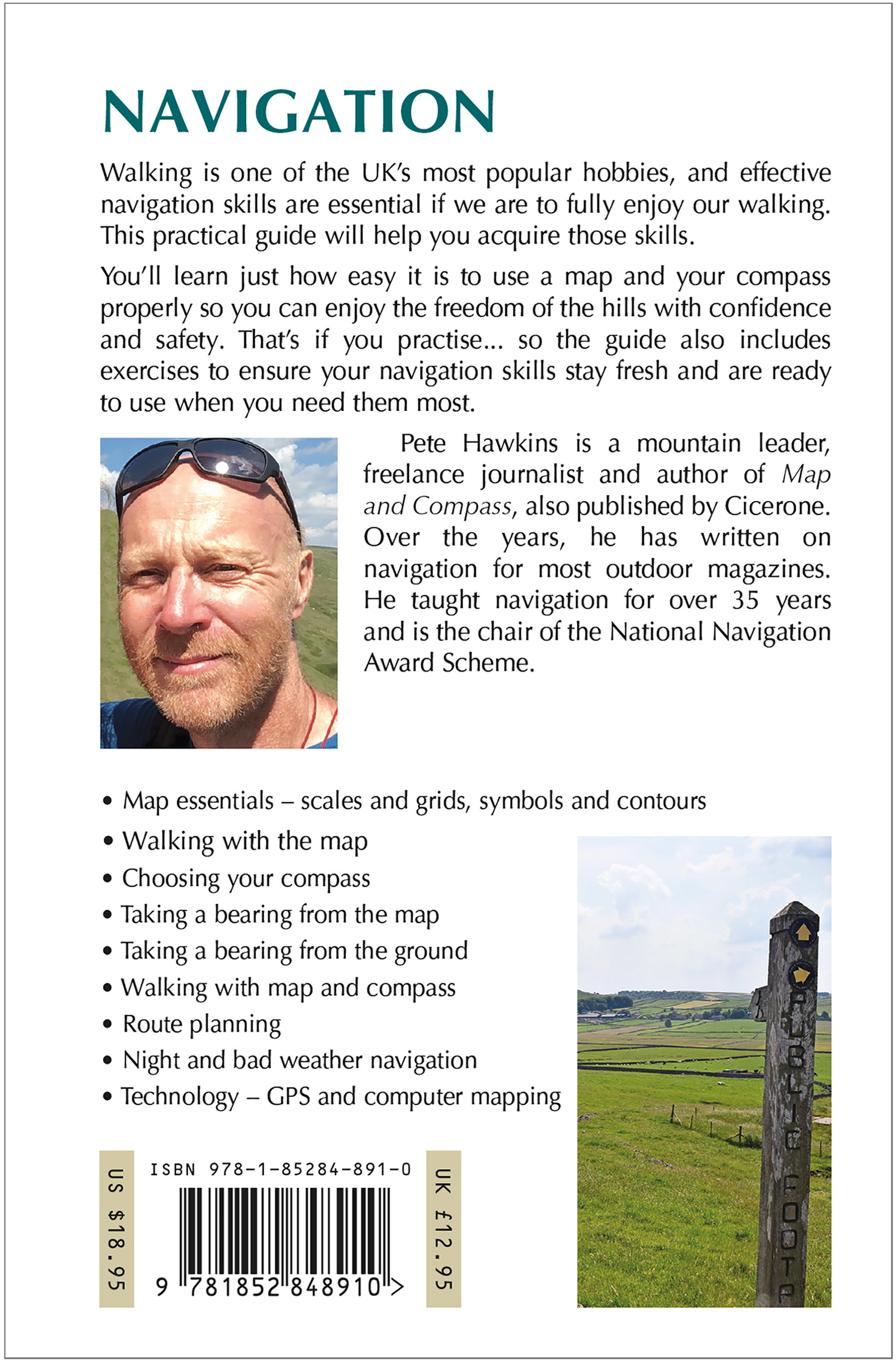
The chapters cover scale, symbols, contour lines, coordinates, and map reading. Furthermore, compass use and bearings are addressed, alongside route planning through mountain terrain. The material provides a structured introduction to closely linked skills, allowing you to work with the whole rather than just one technique at a time.
Navigation when conditions change.
The book also covers travel in darkness and bad weather, and how GPS can be integrated into navigation. This makes it relevant for those who wish to understand multiple tools and prepare for shifts in visibility and conditions. The content can be used as a basis for practical exercise and as support for further training.
Who is the book for?
The handbook is suitable for hikers who want to build foundational knowledge or refresh skills they rarely use. The text is in English and the book is in a smaller format than Cicerone’s standard hiking guides. Practical exercise in clear terrain is a natural way to further work with the material before more demanding mountain trips.
A long tradition of hiking guides.
Cicerone has published guidebooks since 1969. The publisher grew from climbers and mountain folk who wanted to share thorough knowledge of their routes – a tradition that still characterizes these compact books for walking, trekking, and other outdoor experiences.
About this edition.
Author: Pete Hawkins. English language. 152 pages. Second edition, published 2019. ISBN 9781852848910.