-

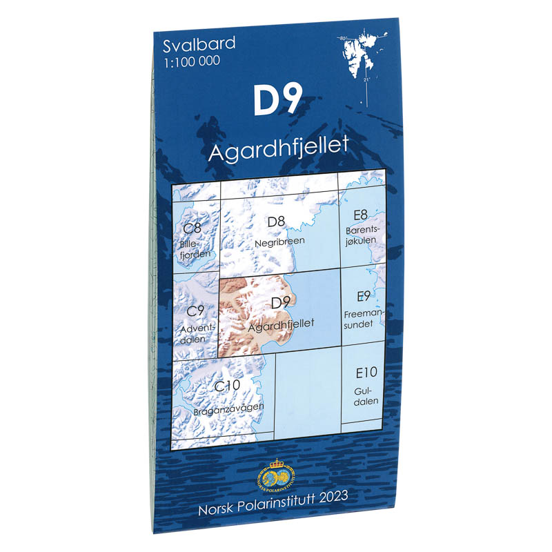
Advent Valley C9
Map in scale 1:100000 from the Norwegian Polar Institute.
-
Agardhfjellet D9
Map in scale 1:100000 from the Norwegian Polar Institute.
-
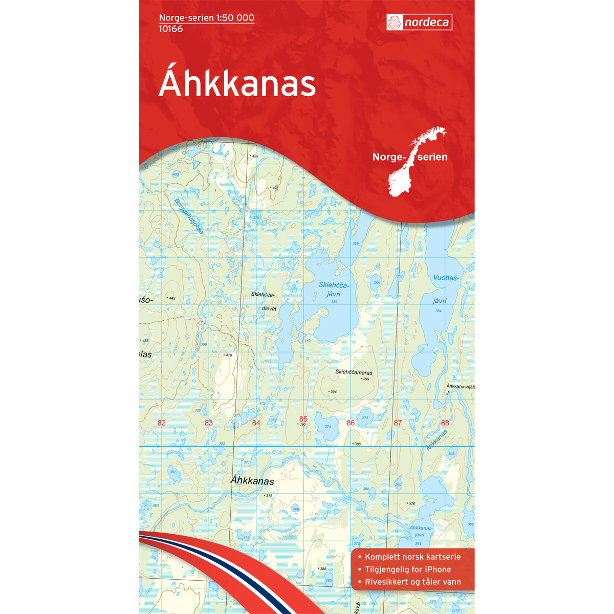
Ahkkanas Norway Series Hiking Map
Detailed hiking map of Ahkkanas in the Norway series – the classic red hiking maps that have been a trusted companion in Norwegian backpacks for several generations. The maps are systematically divided with overlap to adjacent maps, providing good continuity as you move through the terrain.
-
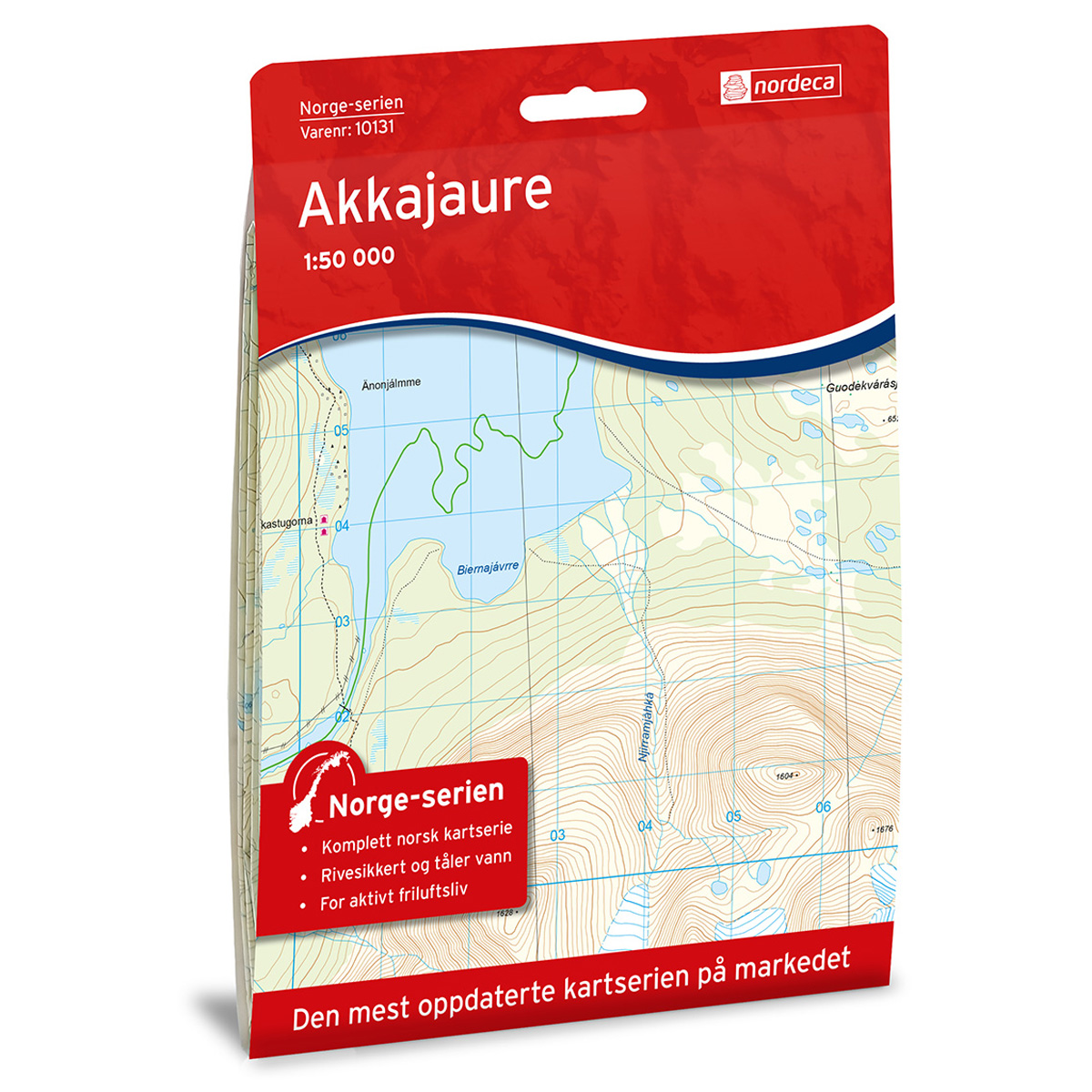
Akkajaure Norway Series Hiking Map
Detailed hiking map of Akkajaure in the Norway Series – the classic red hiking maps that have been a faithful companion in Norwegian backpacks for generations. The maps are systematically divided with overlaps with adjacent maps, providing seamless transitions as you move through the terrain.
-
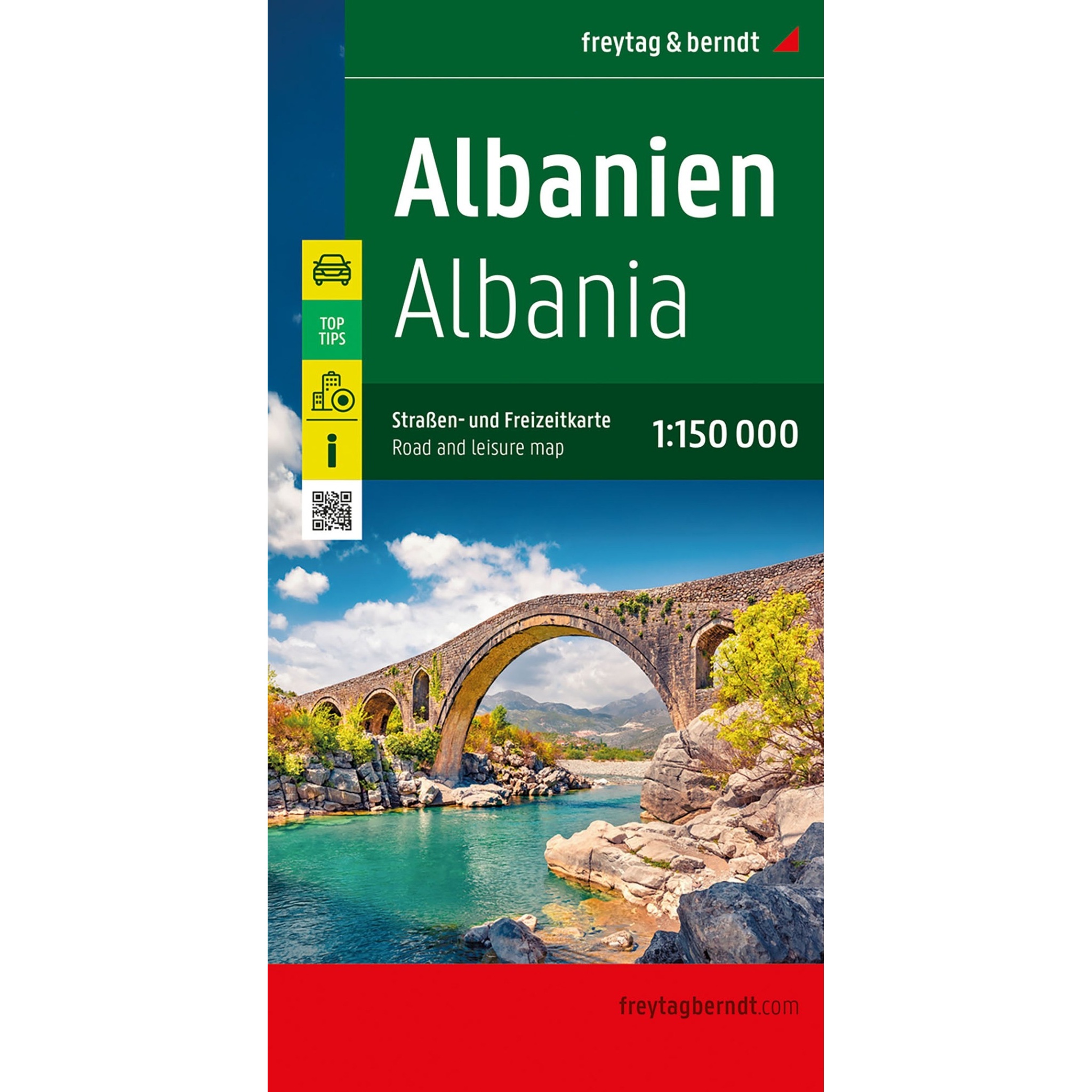
Albania – road map (multilingual)
Detailed road map of Albania with an overview of road networks, tourist information and campsites. Suitable for planning and road travel. The map provides a good overview of both main roads and smaller routes, and includes city maps for easier navigation in Tirana. Scale 1:150,000 provides a high level of detail.
-
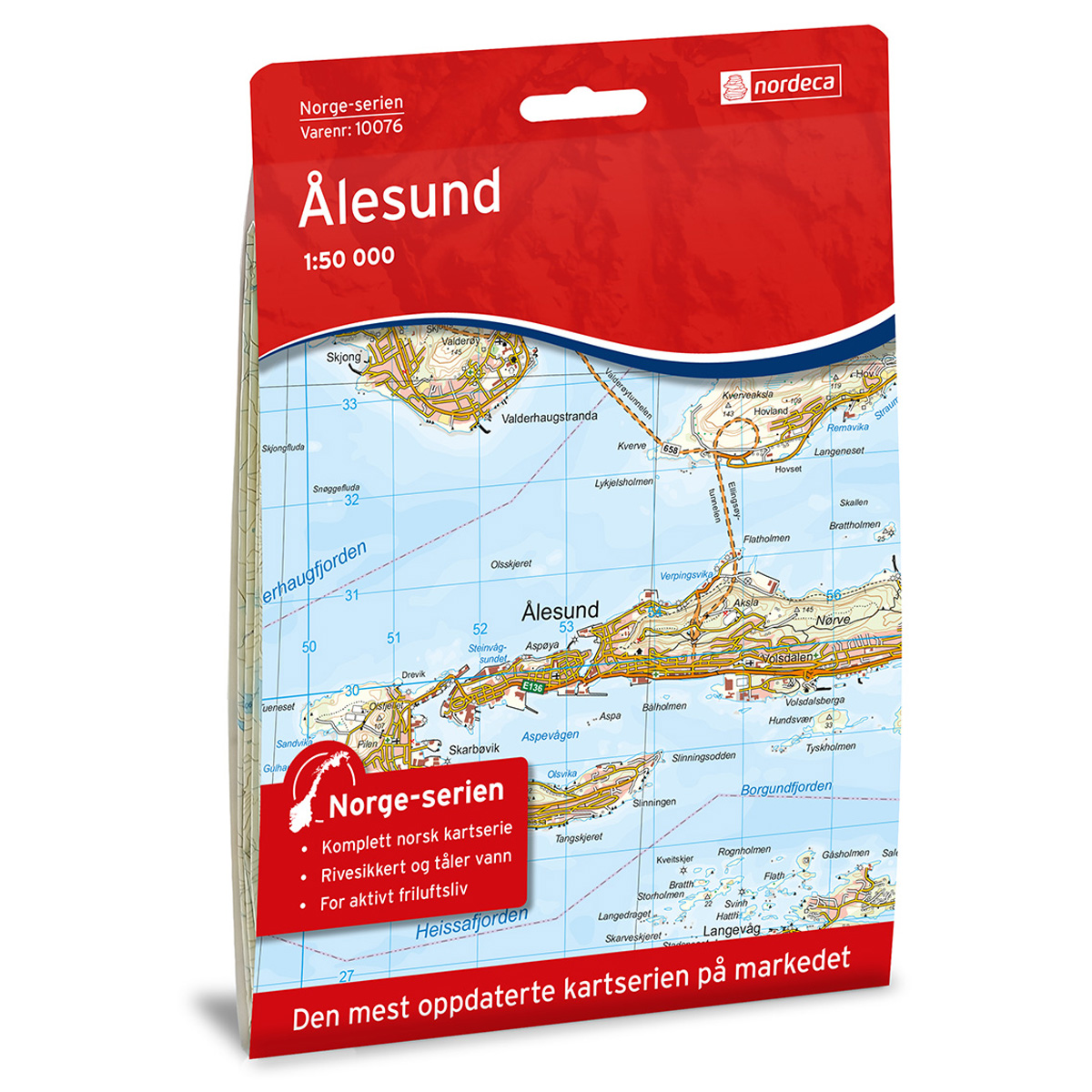
Ålesund Norway Series Hiking Map
Detailed hiking map of Ålesund from the Norway Series – the classic red hiking maps that have been a trusted companion in Norwegian backpacks for generations. The maps are systematically divided with overlaps to adjacent maps, ensuring good continuity when navigating the terrain.
-
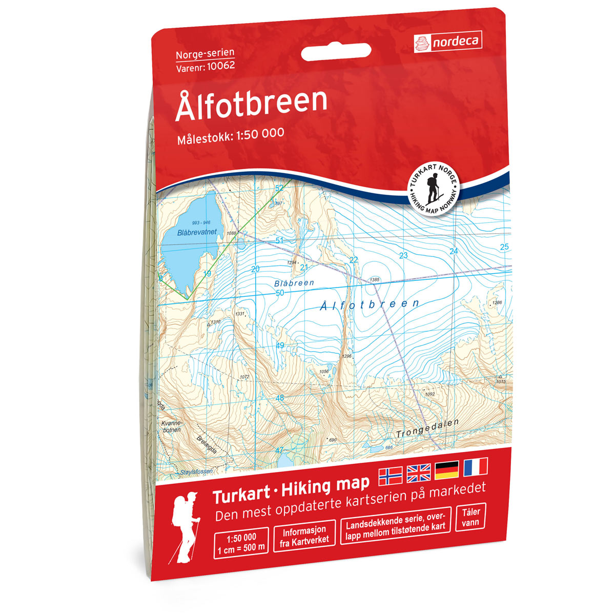
Ålfotbreen Norway Series Hiking Map
Detailed hiking map of Ålfotbreen in the Norway series – the classic red hiking maps that have been a trusted companion in Norwegian backpacks for several generations. The maps are systematically divided with overlap to adjacent maps, providing good continuity as you move through the terrain.
-
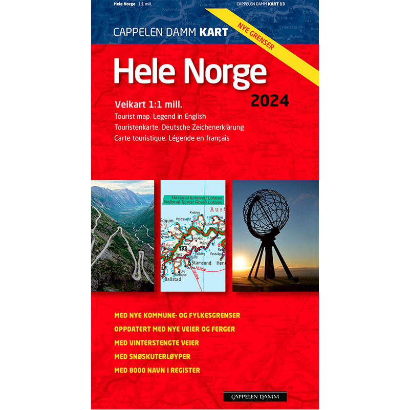
All of Norway 2024
Norway map updated in 2024 with new municipal boundaries and municipality names. A detailed overview map for road trips and travel planning in Norway, with information on road numbers, driving distances, ferry routes, sights and winter road closures. Includes an overview map of Oslo and Svalbard as well as an index with approx. 8000 place…
-
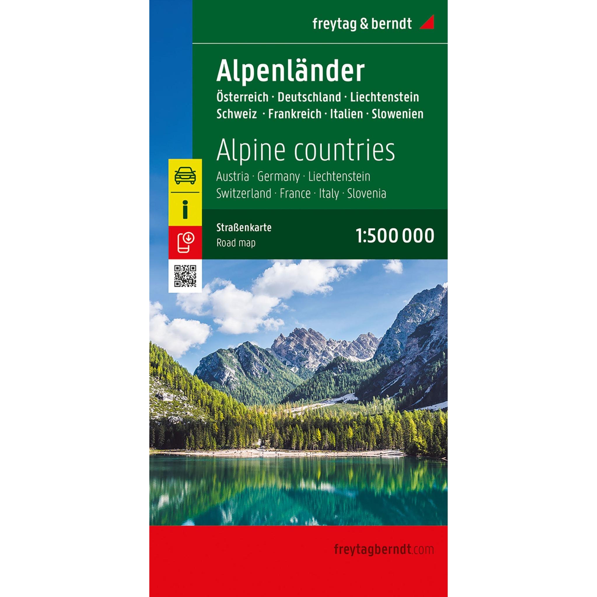
Alpine countries – roadmap (multilingual)
Detailed road map of the Alpine countries with coverage of several countries in the Alpine region. Suitable for planning and traveling by car in mountain areas. The map provides a good overview of both main roads and smaller routes, and includes tourist information and campsites. The scale of 1:500,000 provides a good balance between overview…
-

Alta Norway Series Hiking Map
Detailed hiking map of Alta in the Norway Series – the classic red hiking maps that have been a trusted companion in Norwegian backpacks for generations. The maps are systematically divided with overlap to adjacent maps, providing good continuity as you move through the terrain.
-
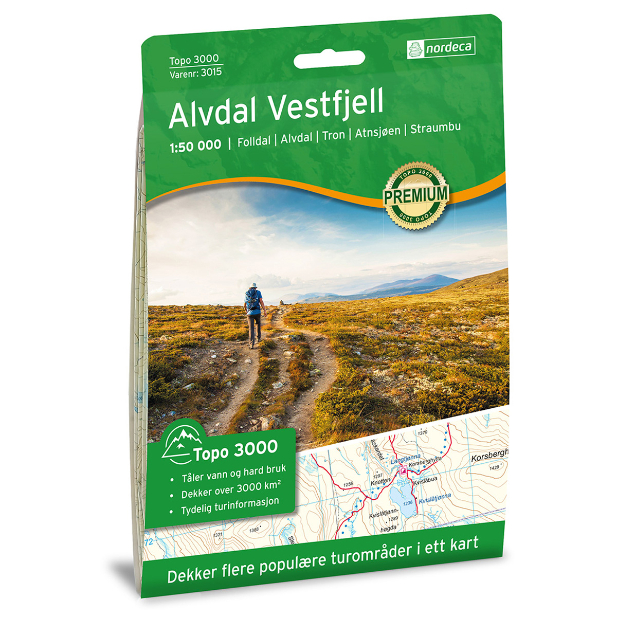
Alvdal Vestfjell Topo 3000 Hiking Map
Detailed topographic hiking map of Alvdal Vestfjell Topo 3000 Hiking Map, from Nordic Maps (formerly Nordeca). Topo 3000 is a popular map series for mountain hikes and longer trips in varied terrain.
-
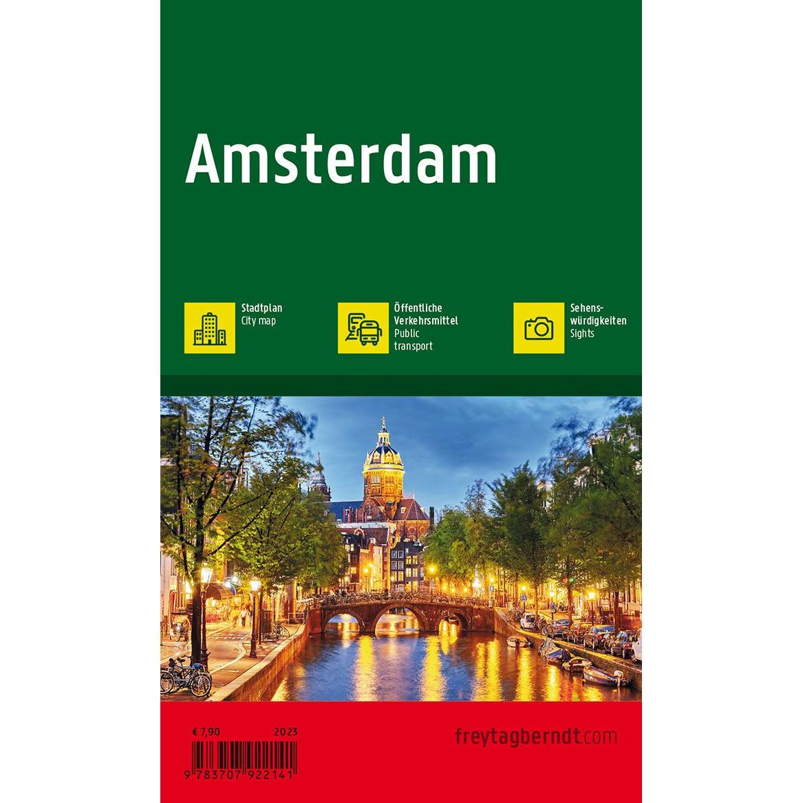
Amsterdam – road map (multilingual)
Detailed road map of Amsterdam city center in compact format, with an overview of streets, canals and sights. Suitable for orientation in the city. The map focuses on the inner city and is printed on durable material that can withstand use in all kinds of weather. The 1:10,000 scale provides a high level of detail.
-
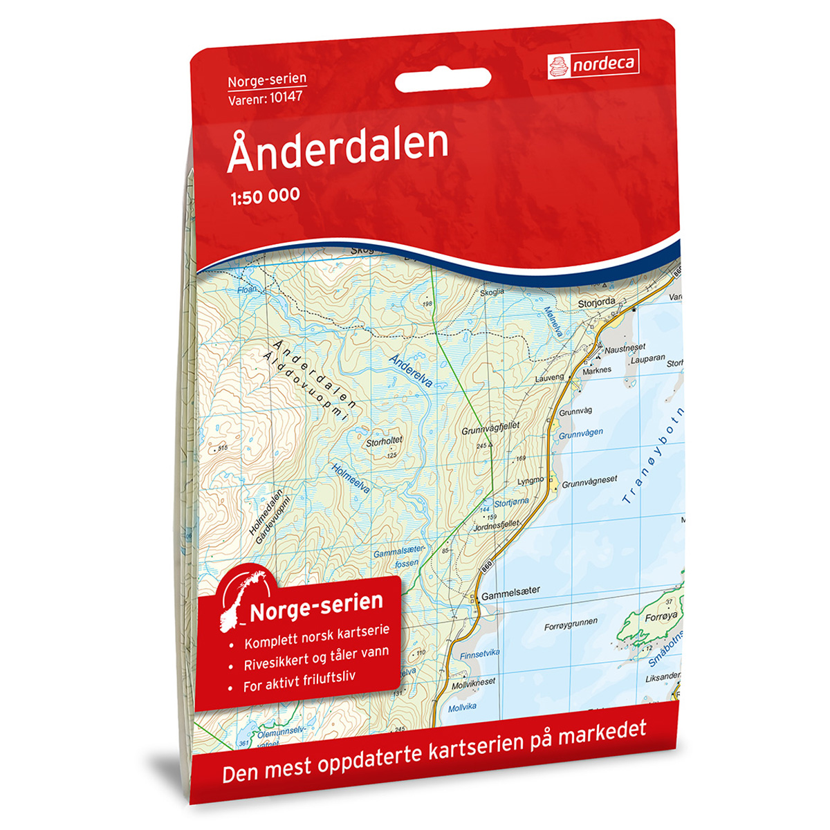
Ånderdalen Norway Series Hiking Map
A detailed hiking map of Ånderdalen from the Norway Series – the classic red hiking maps that have been a trusted companion in Norwegian backpacks for generations. The maps are systematically divided with overlaps to adjacent maps, ensuring good continuity as you navigate the terrain.
-
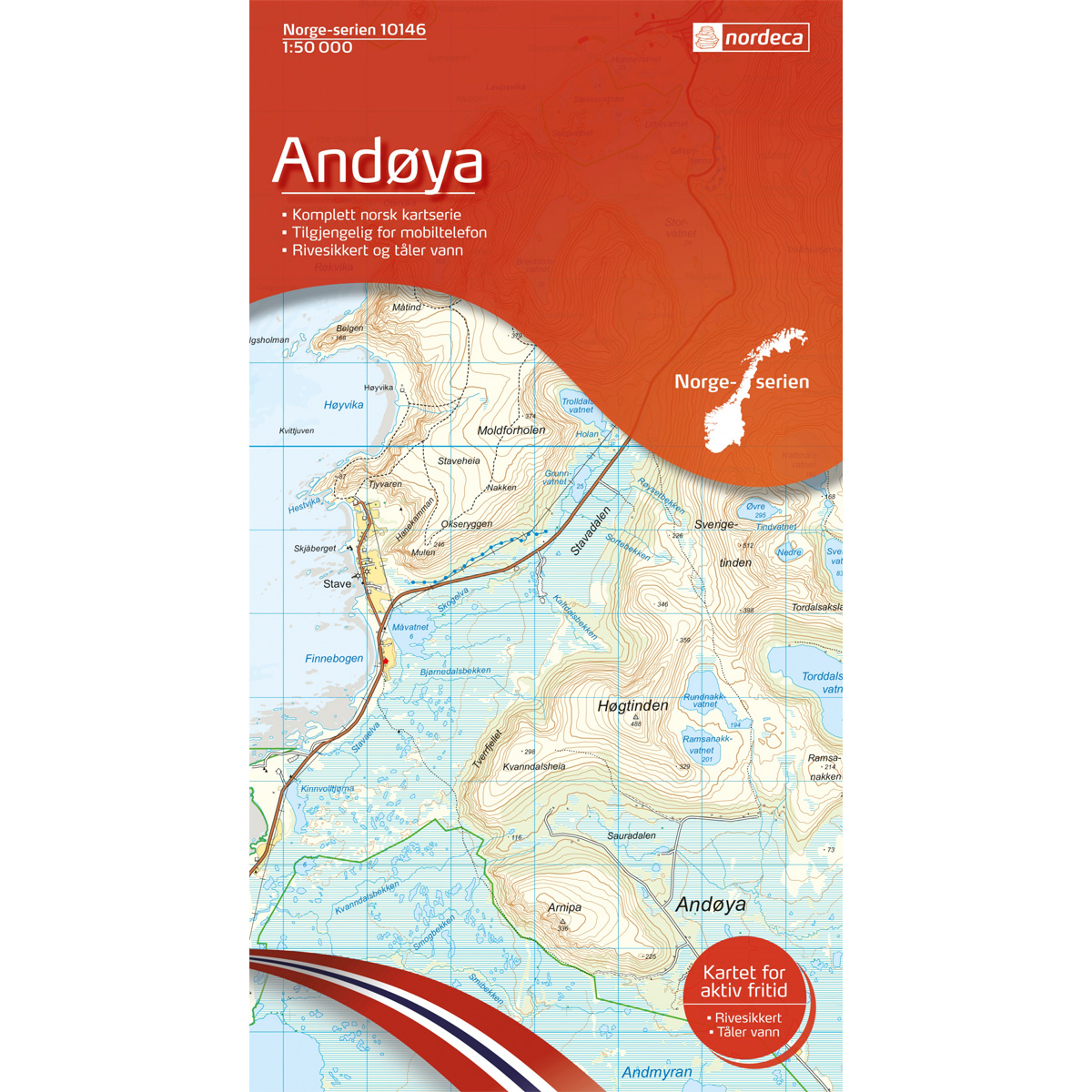
Andøya Norway Series Hiking Map
Detailed hiking map of Andøya in the Norway Series – the classic red hiking maps that have been a faithful companion in Norwegian backpacks for generations. The maps are systematically divided with overlaps with adjacent maps, providing seamless continuity as you move through the terrain.
-
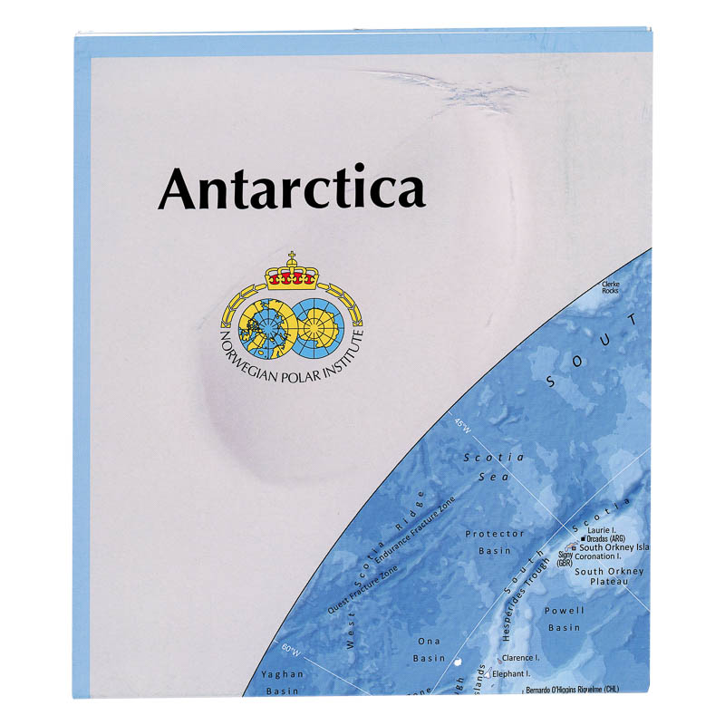
Antarctica
Map in scale 1:10000000 from the Norwegian Polar Institute.
-
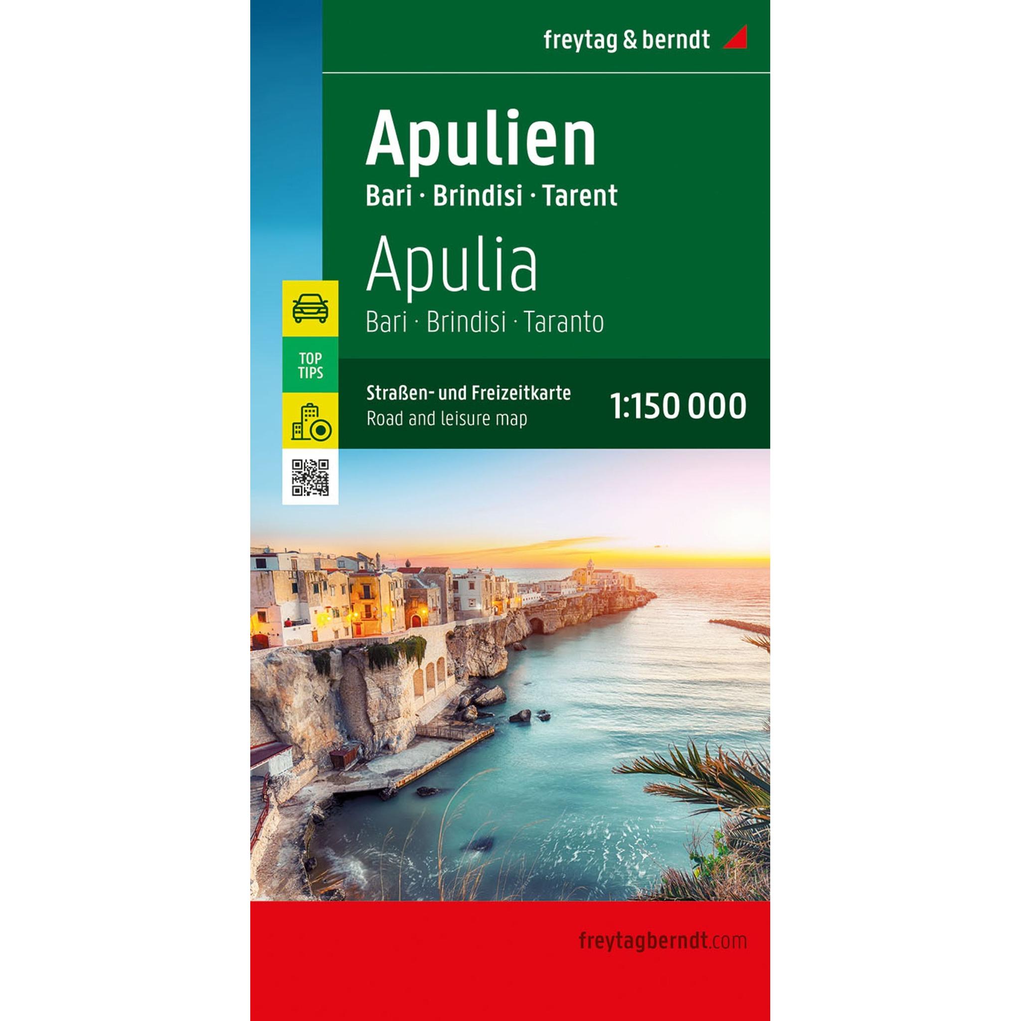
Apulia – road map (multilingual)
Detailed road map of Apulia in southern Italy with coverage of coastal areas and cities such as Bari, Brindisi and Taranto. Suitable for planning and road travel. The map provides an overview of both main roads and smaller routes, and includes tourist information, campsites and city maps. The scale 1:150,000 provides a high level of…
-
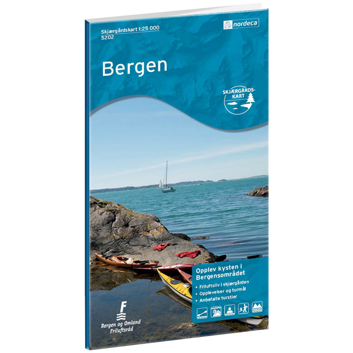
Archipelago Map Bergen
Archipelago map of Bergen, with a clear overview of islands, sounds, and coastline. Well-suited for planning boat trips, excursions, and experiences in the archipelago.
-
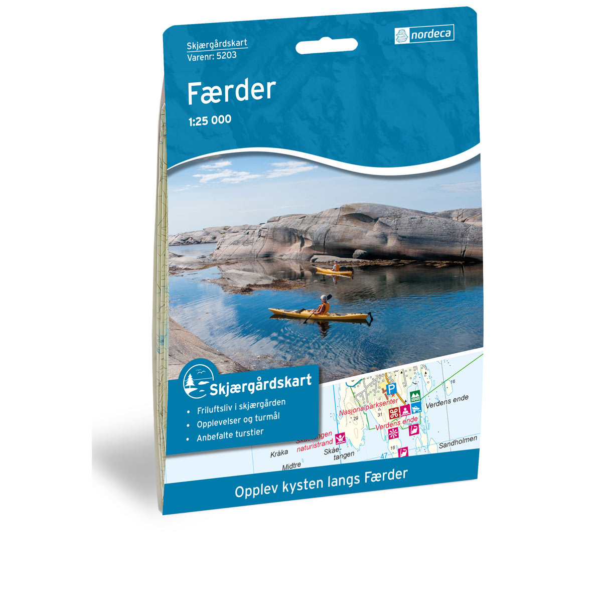
Archipelago Map Færder
Archipelago map of Færder, with clear overview of islands, sounds and coastline. Well suited for planning boat trips, excursions and experiences in the archipelago.
-
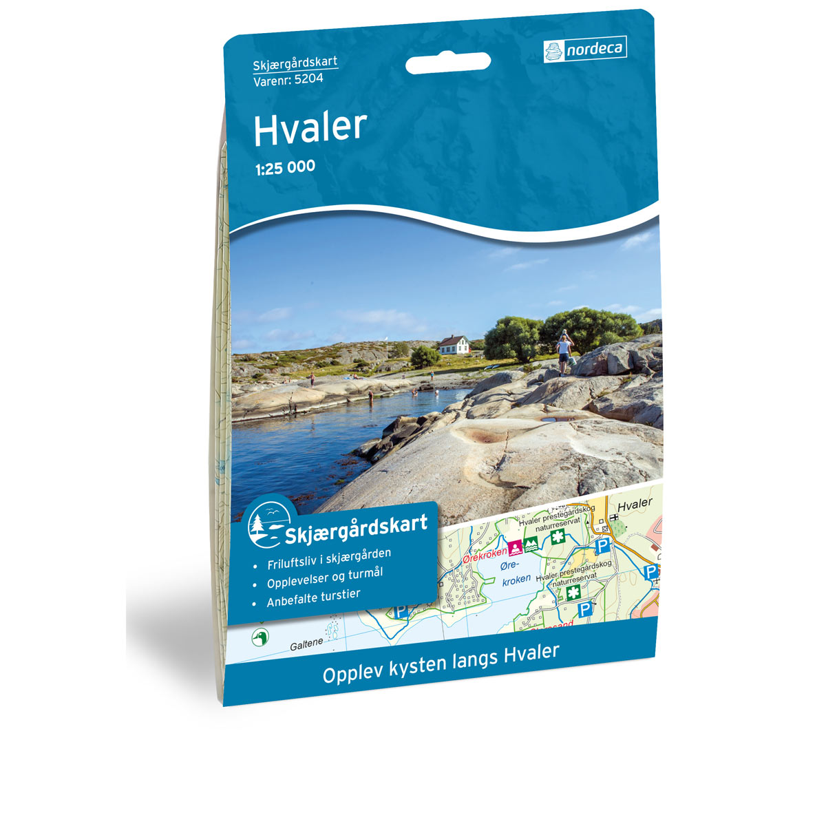
Archipelago map Hvaler
Archipelago map of Hvaler, with a clear overview of islands, straits and coastline. Well suited for planning boat trips, excursions and experiences in the archipelago.
-
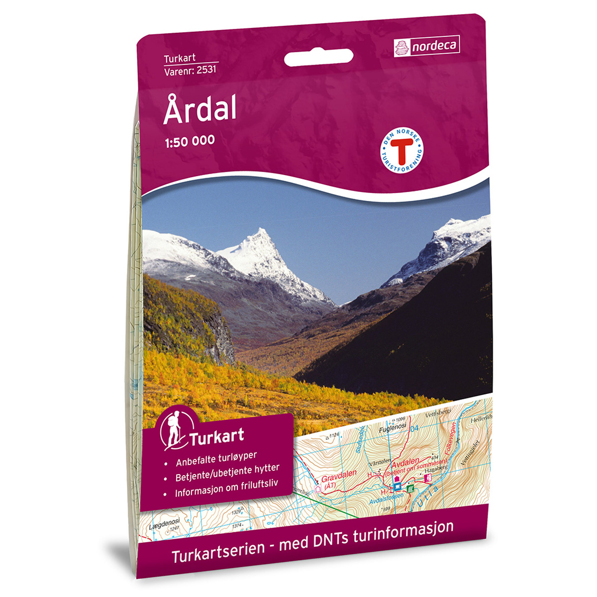
Årdal DNT Turkart
Detailed hiking map of Årdal, developed by Nordic Maps (formerly Nordeca) in collaboration with the Norwegian Tourist Association. DNT Hiking Maps have been the preferred choice for hikers for decades, known for their excellent readability, thoughtful design, and practical information tailored for active outdoor life.