Aurlandsdalen
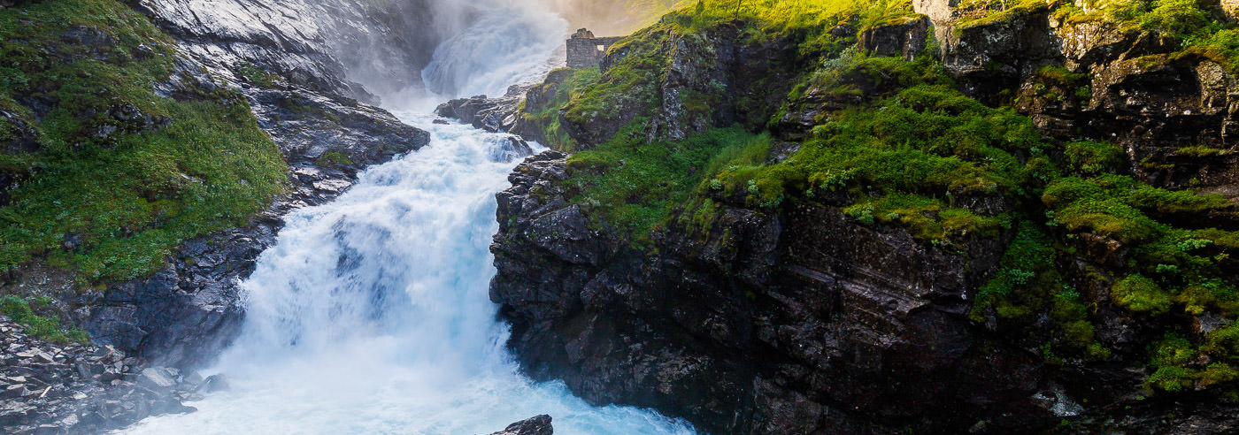
Aurlandsdalen, often called “Norway’s Grand Canyon,” is a historic thoroughfare between Eastern and Western Norway and was likely in use as early as the Viking Age. The valley offers a rarely varied landscape – from high mountains and open plains to a lush, almost jungle-like valley with rivers, waterfalls, and cultural heritage sites.
Aurlandsdalen is a classic area for long hikes, with possibilities for both short day trips and multi-day hut-to-hut treks. Many choose the continuous journey from the high mountain terrain near Finse and down through the valley to Vassbygdi, where the contrasts in nature are particularly evident.
The area around Aurlandsdalen has close ties to the fjord and cultural landscape of Inner Sogn, with nearby attractions such as Nærøyfjorden, Flåm, and Lærdal. The varied terrain and long distances make good maps crucial for planning and safe travel, whether you are doing one stage or following the valley over several days.
Hiking Maps of Aurlandsdalen
Hiking maps covering Aurlandsdalen, the high mountain areas around Finse, and the valley down towards Aurland and Vassbygdi, suitable for both day trips and multi-day hikes.
-
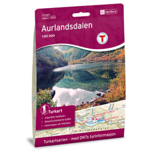
Aurlandsdalen DNT Turkart
19,41 € Add to cart -
Aurland Norway Series Hiking Map
19,41 € Add to cart -
Hallingskarvet National Park Topo 3000 Hiking Map
19,41 € Add to cart -
Rallarvegen Bicycle map
19,41 € Add to cart -
Rallarvegen DNT Turkart
19,41 € Add to cart -
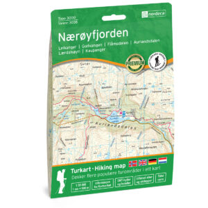
Nærøyfjorden Topo 3000 Turkart
19,41 € Add to cart -
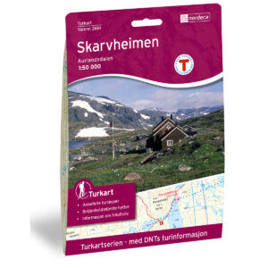
Skarvheimen DNT Hiking Map
19,41 € Add to cart -
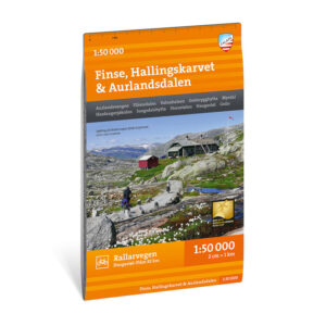
Turkart Finse, Hallingskarvet & Aurlandsdalen, 1:50.000
17,91 € Add to cart
Experience Guides and Road Maps – Aurland and Flåm
Experience guides and road maps for planning travel and journeys in the area around Aurlandsdalen, including Aurland, Flåm, Nærøyfjorden, and Lærdal.
-
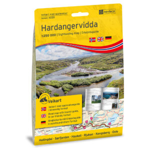
Hardangervidda 1:250,000 w/booklet Sightseeing Guide road
18,66 € Add to cart -

Hardangervidda 1:250 000 Discovery Guide
18,66 € Add to cart -
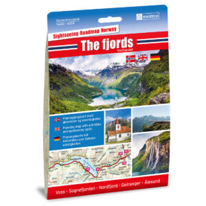
The Fjords / Vestlandet 1:250,000 Sightseeing Guide
18,66 € Add to cart -
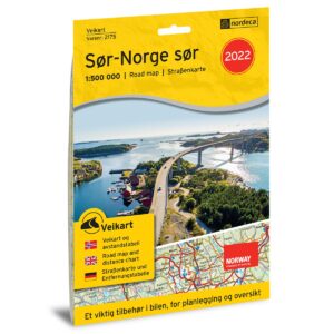
Road Map Southern Norway South
17,16 € Add to cart -
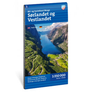
Car and tourist map Southern and Western Norway 1:350 000
16,86 € Add to cart -
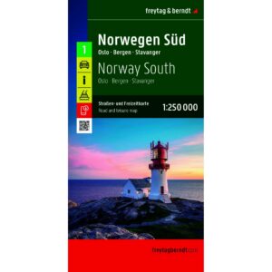
Southern Norway – roadmap (multilingual)
17,16 € Add to cart
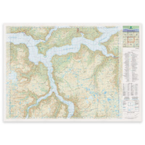
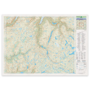
Kartverket’s N50 Series – Aurlandsdalen
Kartverket’s N50 map series is Norway’s official land map, with a new version released in May 2025. The maps provide detailed and easy-to-read terrain information, and are delivered as print-on-demand on a roll in 103 × 73 cm format.