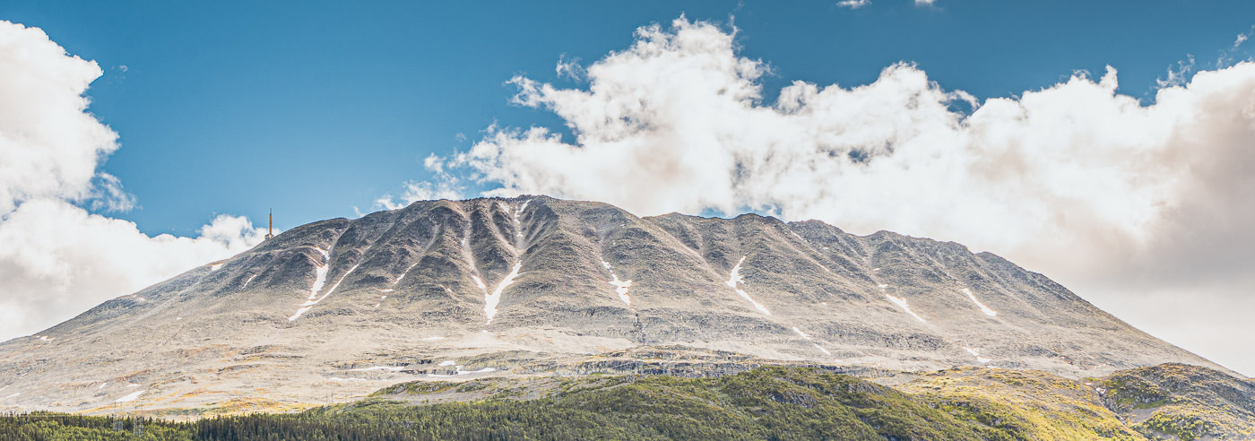
Gaustatoppen
Gaustatoppen rises 1,883 meters above sea level over Rjukan and is considered by many to be one of Norway’s most beautiful mountains. From the summit, on a clear day, one can see up to one-sixth of Norway, with visibility extending to Sweden in the east and the coast in the south. The area is visited annually by tens of thousands of hikers seeking the view and the open high mountain terrain.
The summit is accessible via several routes and is considered a relatively easy summit hike for many, particularly from Stavsro along the mountain road between Rjukan and Tuddal. Alternative access routes and transport solutions are also available, including the Gaustabanen, which runs inside the mountain and provides easy access to the high mountains.
Gaustatoppen is an attractive area year-round, with excellent conditions for both hiking in summer and skiing, snowboarding and off-piste skiing in winter. The open and weather-exposed terrain, combined with significant elevation differences, makes good maps essential for planning and safe travel.
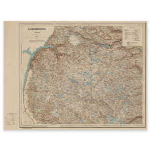
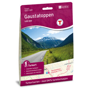
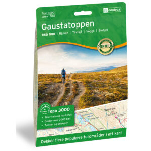
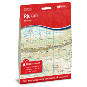
Hiking Maps of Gaustatoppen
Hiking maps covering Gaustatoppen, Rjukan and the mountain areas around Hardangervidda, suitable for hiking, summit tours and winter travel.

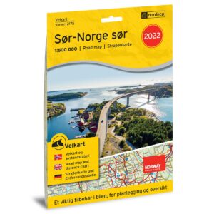
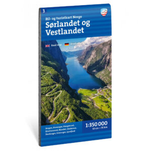
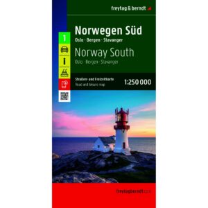
Experience Guides and Road Maps – Rjukan and Telemark
Experience guides and road maps for planning travel and access to Gaustatoppen, including Rjukan, Tuddal and the mountain roads in the area.

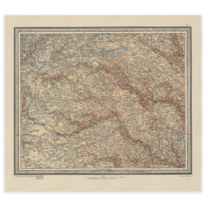
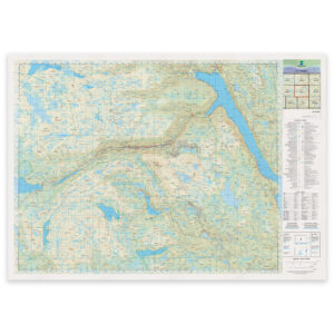
The Norwegian Mapping Authority N50 Series – Hardangervidda
The Norwegian Mapping Authority’s N50 map series is Norway’s official land map, in a new version published in May 2025. The maps provide detailed and easy-to-read terrain information, and are delivered as print-on-demand on rolls in 103 × 73 cm format.
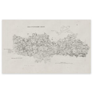
Historical Maps of Hardangervidda
Historical maps showing Hardangervidda and adjacent mountain areas as they have been previously mapped, suitable both as reference and decorative wall maps.