
Description
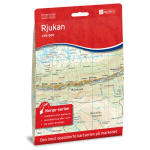
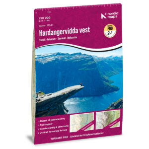
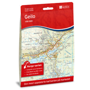
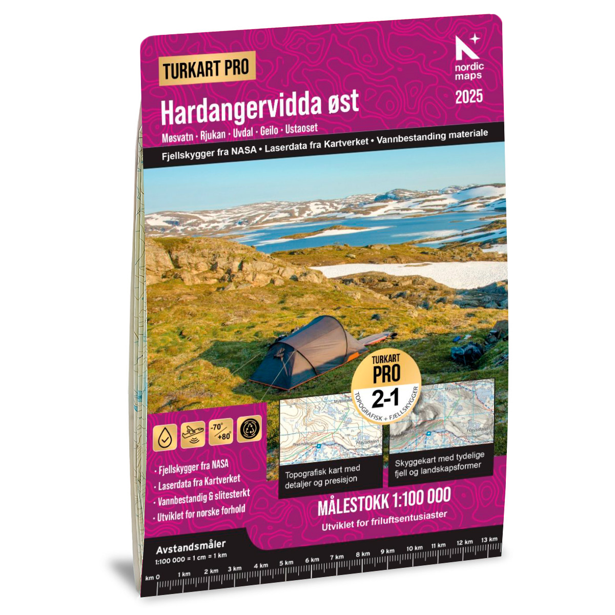
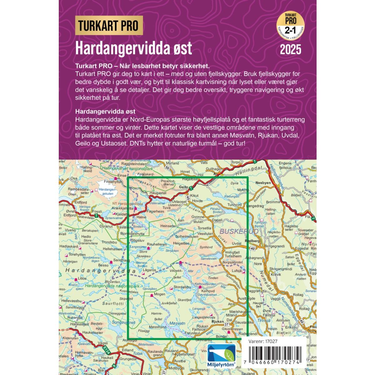
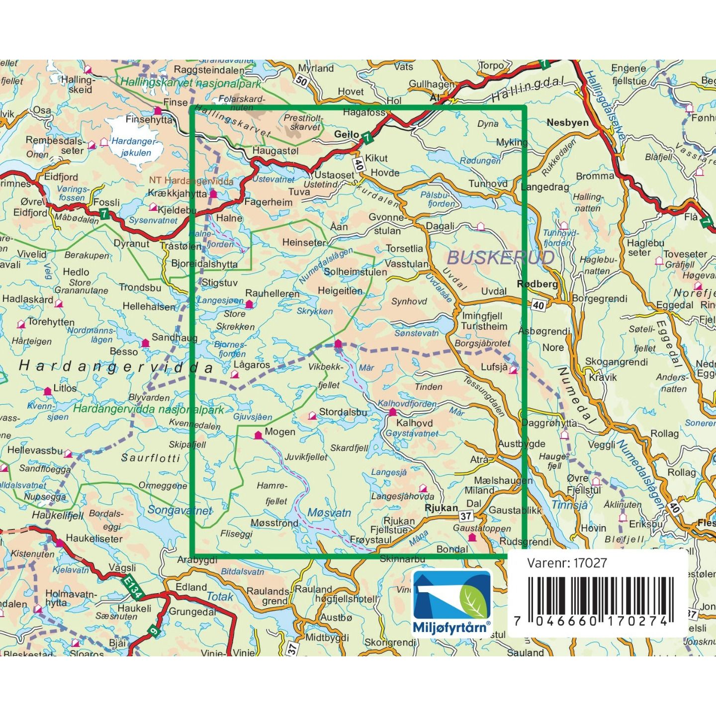
Hardangervidda East Hiking Map Pro is a detailed and up-to-date hiking map for hikes and outdoor activities in the eastern part of Hardangervidda. The map is published by Nordic Maps and covers, among other places , Gaustatoppen, Rjukan, Hallingskarvet, Geilo, Uvdal, and large parts of Hardangervidda.
The map is published at a scale of 1:100, 000, which provides a good overview of a large geographic area and makes it well-suited for both planning and longer hikes in the mountains. Marked hiking trails and a wide selection of staffed, self-service, and unstaffed cabins are shown on the map.
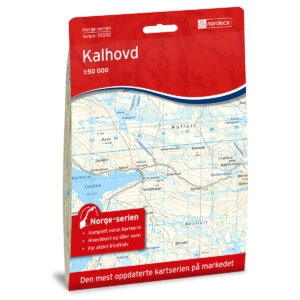
Among the cabins and lodging options covered by the map, you’ll find Mogen, Kalhovd, Mårbu, Rauhelleren, Solheimstulen, Heinseter, Halne Fjellstugu, Tuva, Krækkja, and Haugastøl, in addition to a number of other lodging options on and around Hardangervidda.
The map is printed on Tyvek, a highly durable and water-resistant material that can withstand active use and harsh weather conditions. The map is printed on both sides, providing extensive geographic coverage in a practical, foldable format measuring 70 × 100 cm.
The Turkart Pro Hardangervidda East map also includes useful information from the Norwegian Trekking Association (DNT) and is well-suited for hiking, ski touring, and other outdoor activities in the mountains. The map is in Norwegian and English and was updated in 2026.