


The Alps · The Mediterranean · Walking routes
Hiking maps of Europe
From Austrian Alpine valleys and the Dolomites to Lake Garda, Mallorca and the Canary Islands. Find walking and cycling maps for European mountain regions, islands and hiking holidays.
The range includes maps from freytag & berndt. Choose your destination and check whether the map is intended for walking, cycling or several activities.
The Alps and mountain regions
Find maps for Dachstein, Zillertal, Karwendel and the Carnic Alps, among others. Check both coverage and scale.
Islands and the Mediterranean
Explore maps for Mallorca, La Gomera, Gran Canaria, Crete and Lake Garda. Some products are atlases or guides with maps.
Walking and cycling
Walking maps and cycling maps serve different purposes. Check the product description for relevant paths, routes and map information.
All hiking maps of Europe
Use product names and sorting to find your destination. Each map shows its price and availability.
-
In stock

Seetaler Alps – Hiking Map (waterproof, multilingual) (Kopi) (Kopi)
17,60 € Add to cart -
In stock
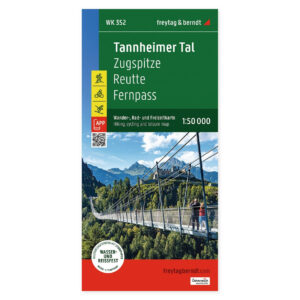
Tannheimer Tal, Reutte and Zugspitze – hiking map 1:50,000 (waterproof)
17,60 € Add to cart -
In stock
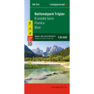
Triglav National Park – Hiking Map (waterproof, multilingual)
17,60 € Add to cart -
In stock
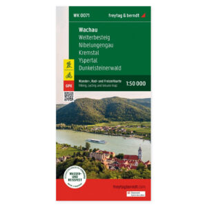
Wachau, Welterbesteig, Nibelungengau, and Kremstal – Hiking Map 1:50 000 (Waterproof)
17,60 € Add to cart -

Welterberegion Wartburg Hainich – cycling and walking maps
15,30 € Add to cart -
In stock
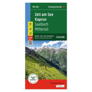
Zell am See and Kaprun – Hiking Map 1:50,000 (Waterproof)
17,60 € Add to cart -
In stock
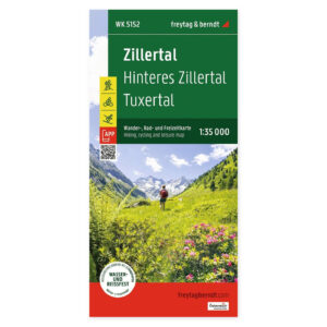
Zillertal – Hiking Map (Waterproof)
17,60 € Add to cart -
In stock
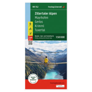
Zillertal Alps – Hiking Map (waterproof, multilingual)
17,60 € Add to cart -
In stock
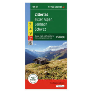
Zillertal, Tux Alps, Jenbach and Schwaz – hiking map 1:50,000 (waterproof)
17,60 € Add to cart
Choosing a map for a walking holiday in Europe
Start with the destination or mountain region you plan to visit. A regional name can refer to a much larger area than the map sheet itself, so check coverage before ordering. Also read the scale, printed language and material details. The range includes standard maps, waterproof maps and some walking atlases or guidebooks; specifications are given for each product.
Planning a longer journey through several countries? Explore road maps and travel guides →