
Description
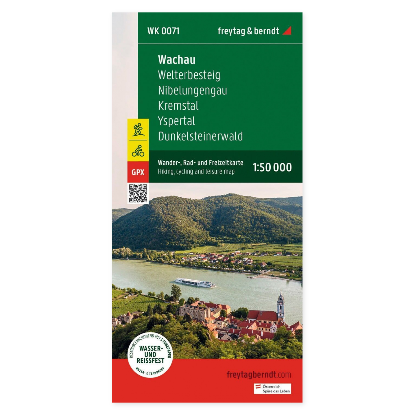
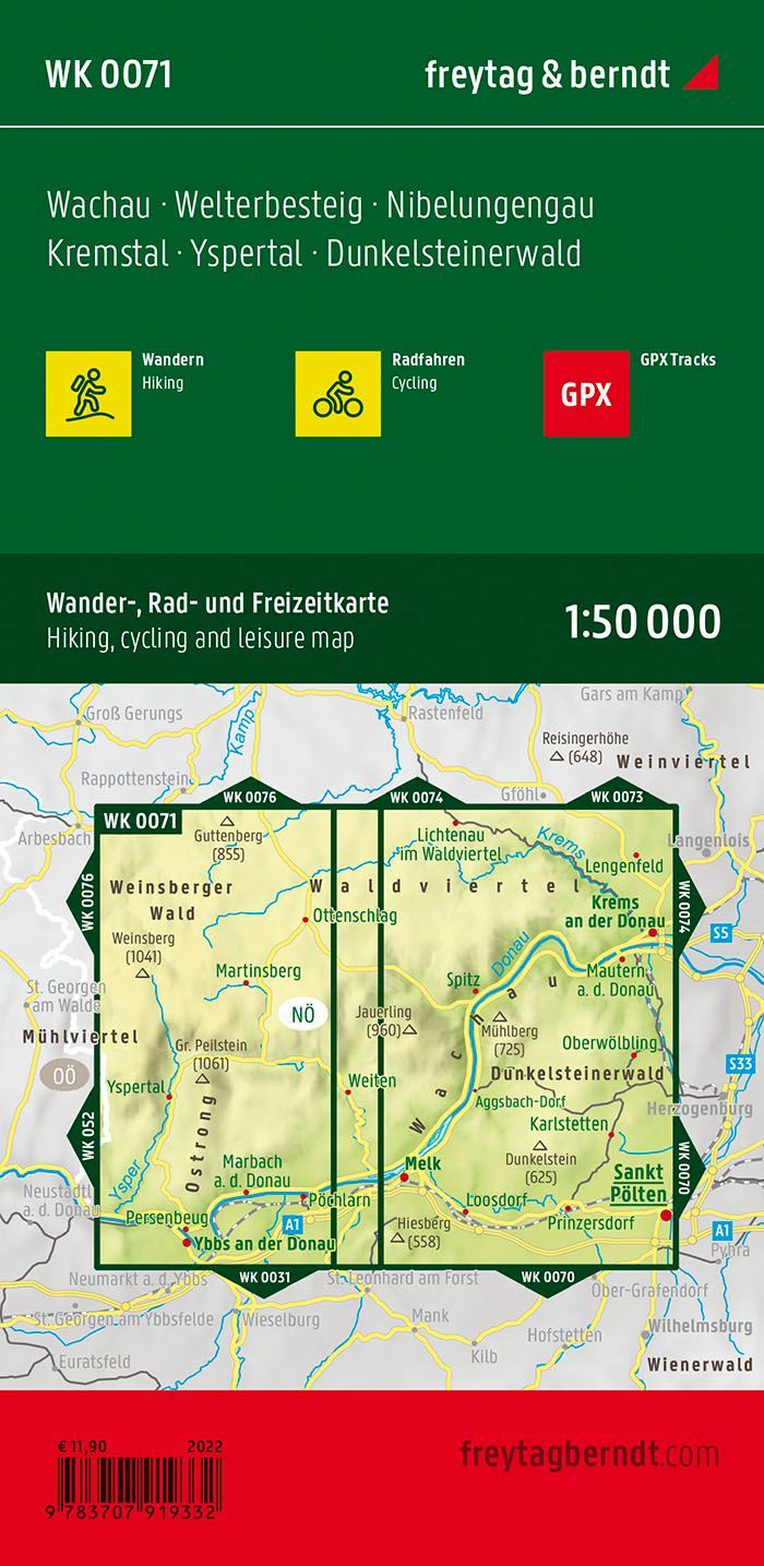
The Wachau, Welterbesteig, Nibelungengau, and Kremstal hiking map at a scale of 1:50 000 is designed for hiking and planning excursions. This map covers Wachau and nearby hiking areas along the Welterbesteig, Nibelungengau, and Kremstal. It is useful for combining multiple excursions and viewing route alternatives in context.
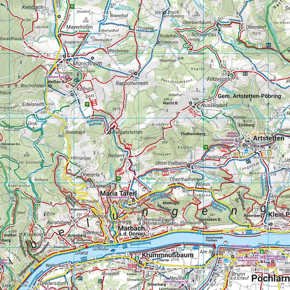
Marked hiking trails, cycling routes, and mountain bike routes make it easier to choose your destination and compare available route options. The map provides an overview that is useful both before departure and when following the route on paper.
Waterproof and tear-resistant material makes the map well-suited for outdoor use. It can be unfolded for collaborative planning and folded compactly for your backpack.
An information booklet and GPX tracks provide additional support for tour planning and allow the map to be used with digital aids.
Practical information: Scale 1:50 000, equivalent to 500 meters per centimeter on the map. Double-sided. Folded format 10 × 20.5 cm. Publication year 2022. Publisher Freytag & Berndt.