
Recreational nautical charts for the entire coast – safe navigation with NV Charts and Nordic Maps
Discover the coast of Norway with reliable paper maps. At kart.no you get:
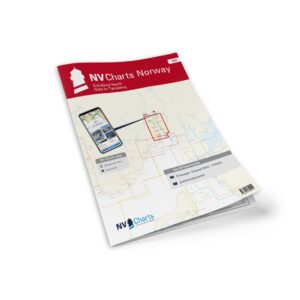
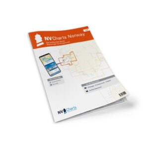
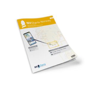
– NV Charts – German precision based on the Norwegian Mapping Authority’s nautical charts, delivered in affordable packages from Østfold to Lofoten. Digital license for the app is included.
– Nordic Maps’ recreational nautical charts – the well-known “originals”. Several sheets have gone out of production, but where they exist we have them in stock.
– Archipelago map series – extra detailed maps for paddlers, fishermen and outdoor enthusiasts.
Do you need completely updated maps? Order the Norwegian Mapping Authority’s nautical charts (Print on Demand), which are updated every 14 days. Go to the Norwegian Mapping Authority’s nautical charts →
Choose tradition or new technology – we’ll help you find the right map for your next cruise. Book today and get out on the water safely!
Select your county and see a map of your sea area:
-

02-Strömstad (Hvaler)-Mefjorden Nautical Chart
44,00 € -

01-Oslo-Slagentangen Nautical Chart
44,00 € -

NV Charts NO2 Oslofjord South
91,97 € -
NV Charts NO1 Oslo-Tønsberg
91,97 € -
NV Charts NO6 Southwest Norway North
91,97 € -
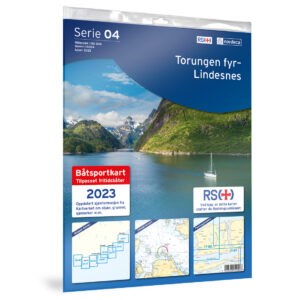
04-Torungen Lighthouse-Lindesnes Boating Chart
44,00 € -
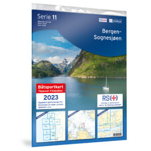
11-Bergen-Sognesjøen Boating Chart
44,00 € -
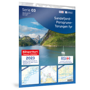
03-Sandefjord-Porsgrunn-Torungen Boating Chart
44,00 € -
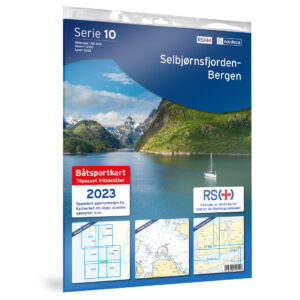
10-Selbjørnsfjorden-Bergen Boating Chart
44,00 € -
NV Charts NO4 Southern Norway West
91,97 € -
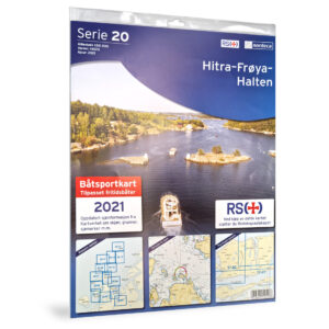
20-Hitra-Frøya-Halten Nautical Chart
44,00 € -

06-Stavanger-Ryfylke S Nautical Chart
48,48 € -
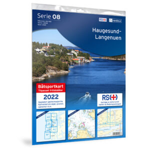
08-Haugesund-Langenuen Nautical Chart
44,00 € -

05-Lindesnes-Kolnesholmane-Tananger Boating Chart
44,00 € -

12-Ytre Sula-Værøy-Dalsfjorden Small Craft Chart
44,00 € -
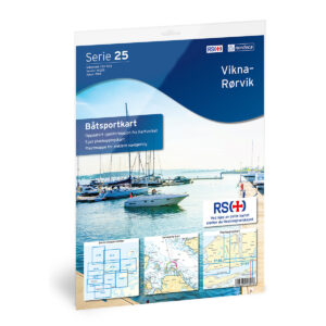
25-Vikna-Rørvik Boating Chart
44,00 € -
NV Charts NO5 Southwest Norway
91,97 € -

NV Charts NO3 Southern Norway East
91,97 €