-
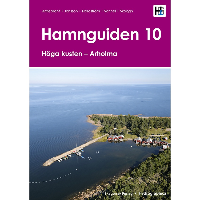
Hamnguiden 10, High Coast – Arholma
Updated harbor guide for the Baltic Sea coast from Höga kusten to Arholma, with newly surveyed harbor guide maps.
-
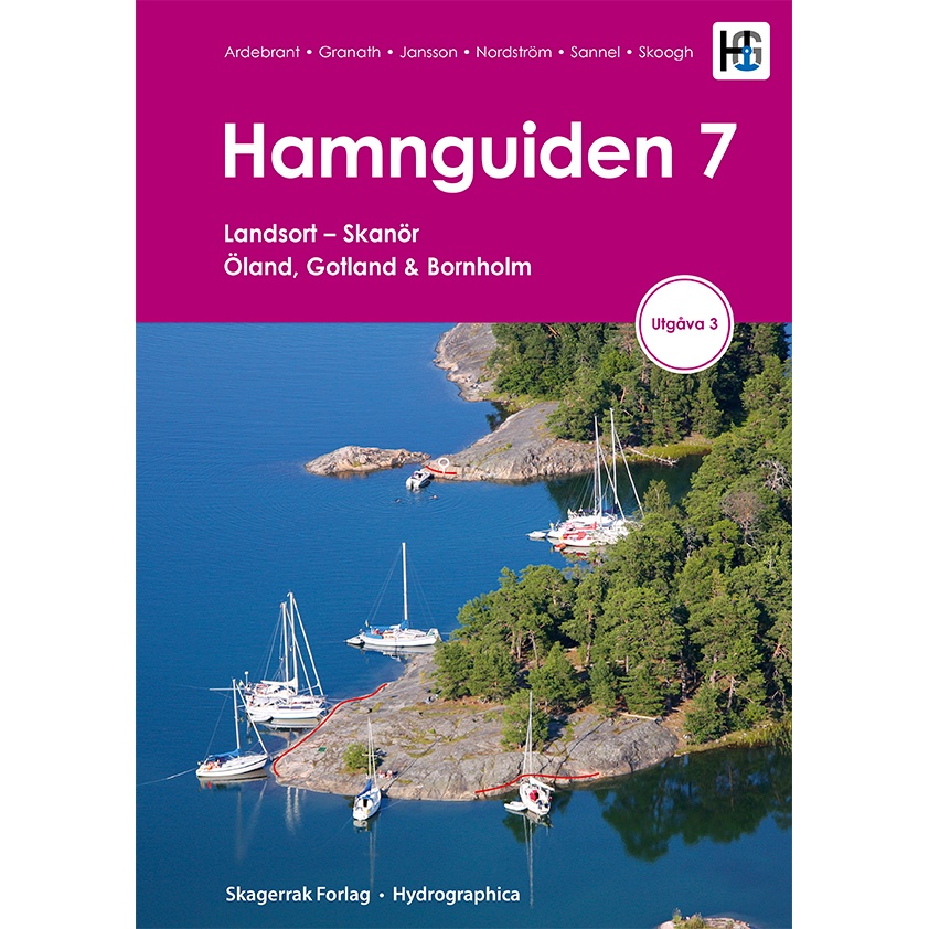
Hamnguiden 7 – Landsort to Skanör
Updated port guide for the Baltic Sea from Landsort to Skanör, including Öland, Gotland and Bornholm.
-
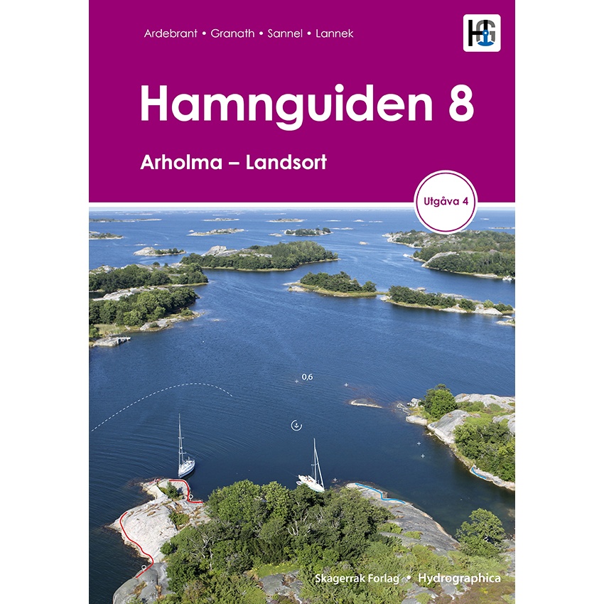
Hamnguiden 8 – Arholma to Landsort
Updated harbor guide for the Stockholm archipelago from Arholma to Landsort, with newly surveyed harbor guide maps.
-
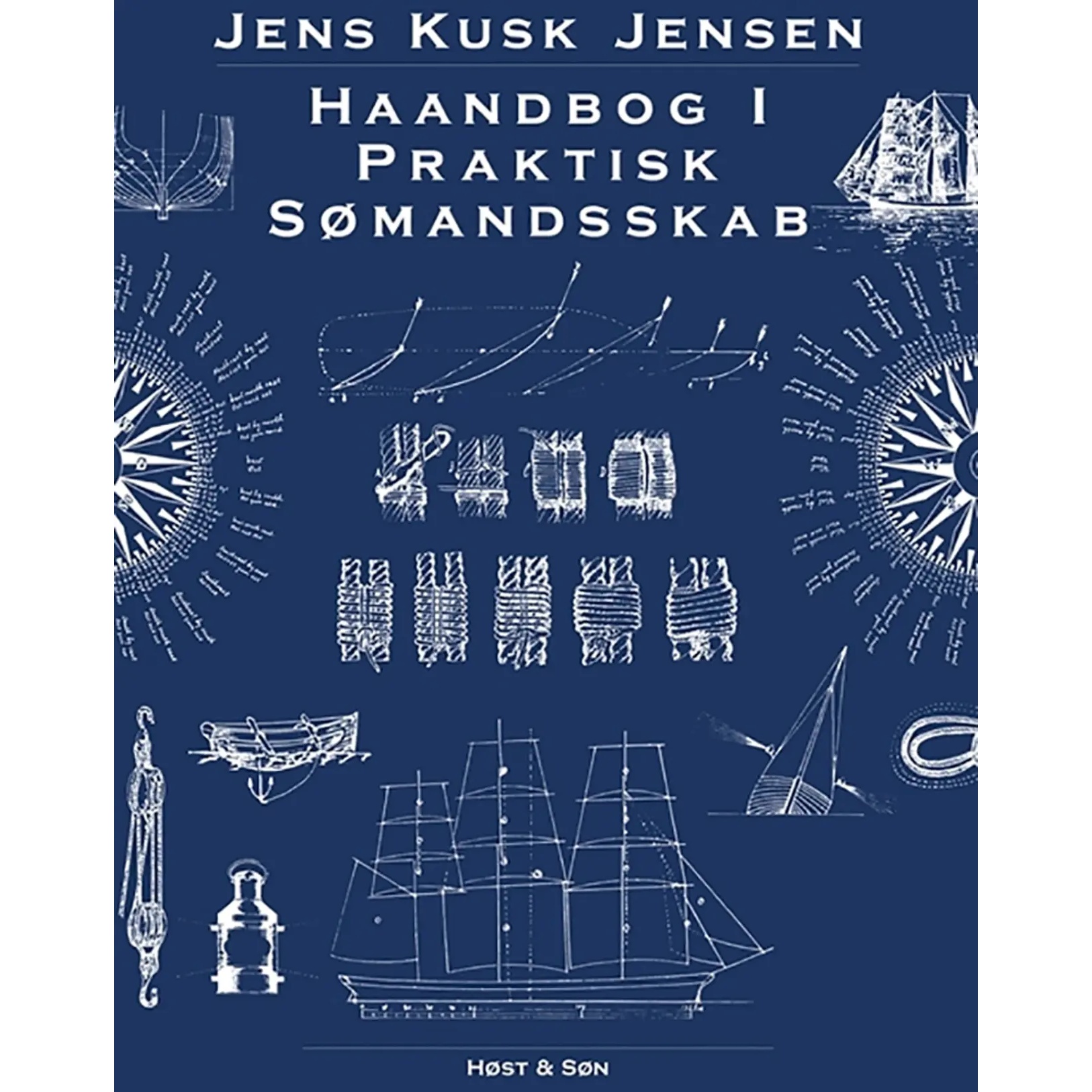
Handbook of practical seamanship
Classic and illustrated handbook in practical seamanship with a focus on ropes, knots, rigging and traditional maritime skills. 420 pages – 26 x 21 cm – Hardback.
-
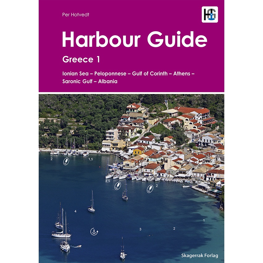
Harbour Guide Greece 1 – Ionian Sea, Peloponnese, Athens & Albania
Detailed harbor guide for Greece and Albania, with maps and descriptions of ports and anchorages in the Mediterranean.
-
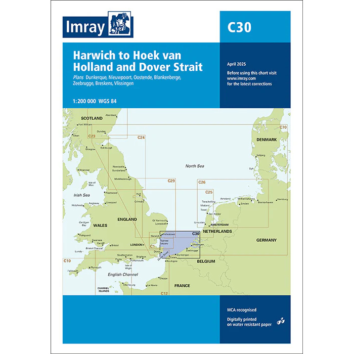
Harwich to Hook of Holland and Dover Strait – Imray C30
Detailed Imray boating map for the Harwich-Hoek van Holland and Dover Strait route.
-
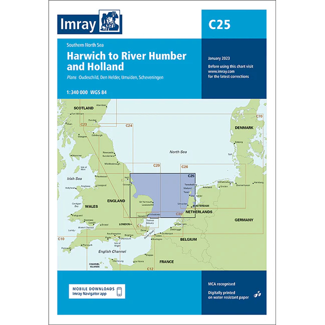
Harwich to River Humber and Holland – Imray C25
Detailed Imray boating map for the Southern North Sea from Harwich to River Humber and the Netherlands.
-
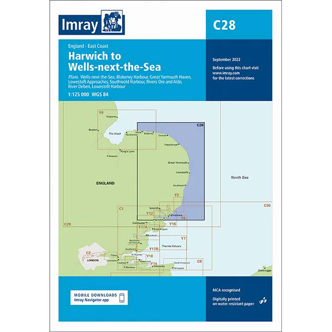
Harwich to Wells-next-the-Sea – Imray C28
Detailed Imray boating map for the east coast of England from Harwich to Wells-next-the-Sea.
-
Harwich to Whitby – Imray C29
Detailed Imray boating map for the east coast of England from Harwich to Whitby.
-
Havens & Anchorages of the South Atlantic
A detailed guide to ports and anchorages along the coast of South America, including Brazil, Uruguay and Argentina, with practical information for long-distance sailors.
-
Havneboka Oslofjorden – The best harbors from Aker Brygge to Grebbestad and Svenner
Updated harbor guide for the Oslofjord with over 470 harbors. Shows guest harbors and natural harbors with maps, depth charts and practical information. Suitable for both experienced boaters and beginners.
-
Havneboka Sørlandskysten – The best ports from Svenner to Lista
Detailed harbor guide for the southern coast from Svenner to Lista. Shows guest harbors and natural harbors with maps, depth charts and practical information. Suitable for both beginners and experienced boaters.
-
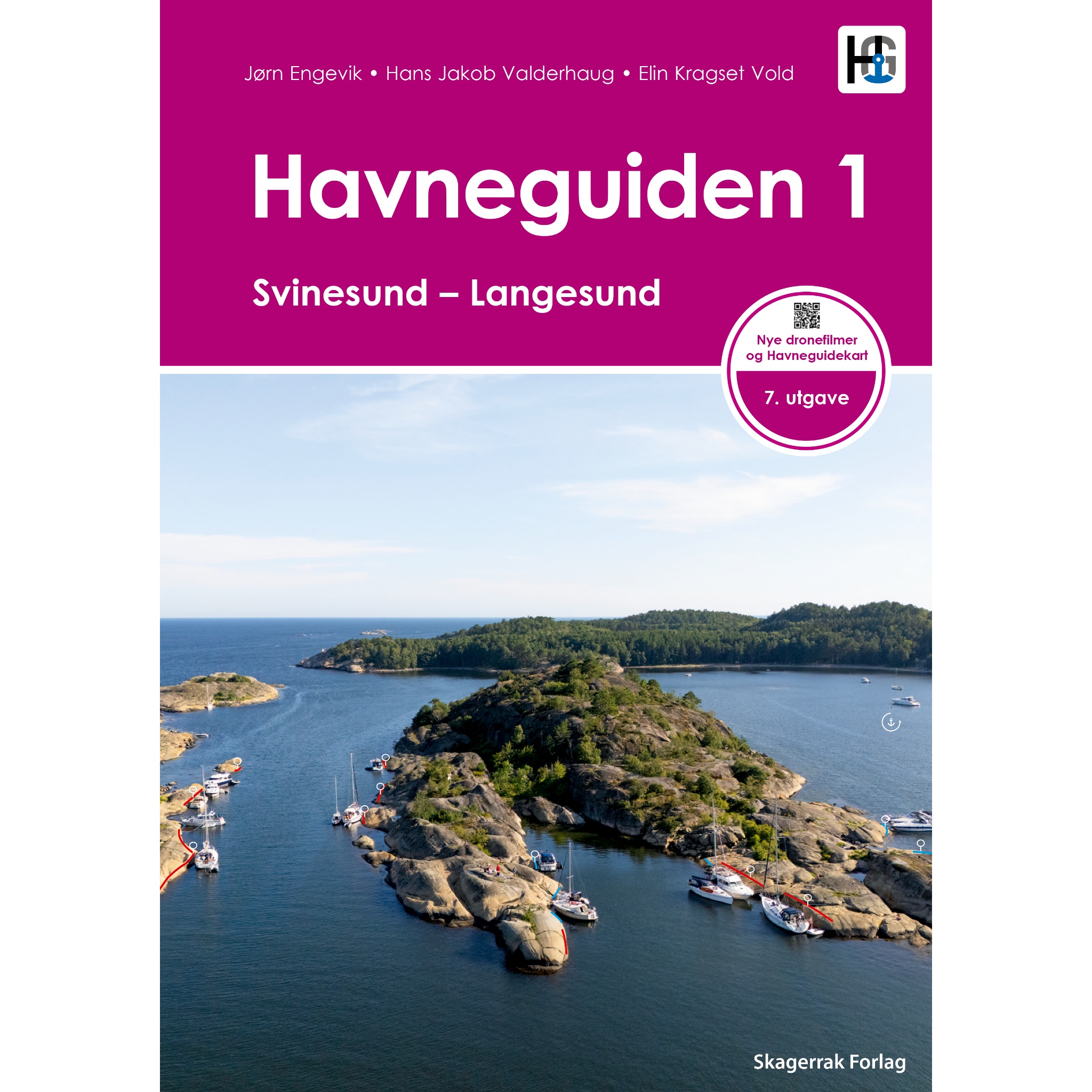
Havneguiden 1 Svinesund-Langesund (New edition 2026)
New edition 2026 with completely revised harbor charts, new depth measurements, more moorings and access to the Harbor Guide app. The complete port guide for the Svinesund-Langesund route. Preview the book →
-
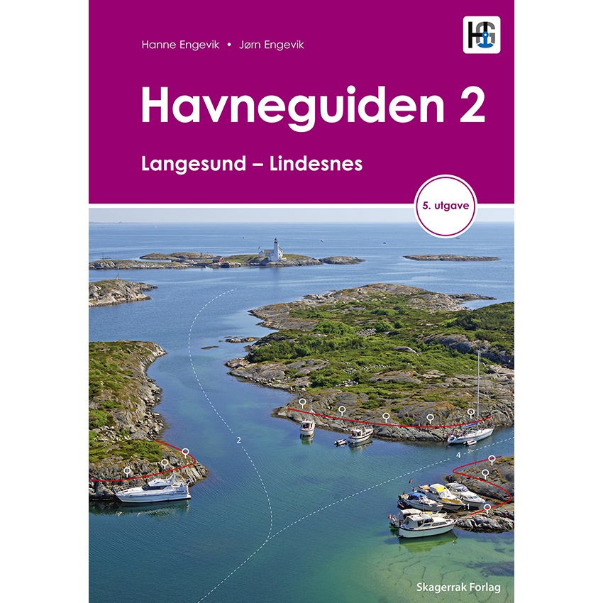
Havneguiden 2 – Langesund to Lindesnes
Updated harbor guide for the southern coast from Langesund to Lindesnes, with detailed maps and descriptions.
-
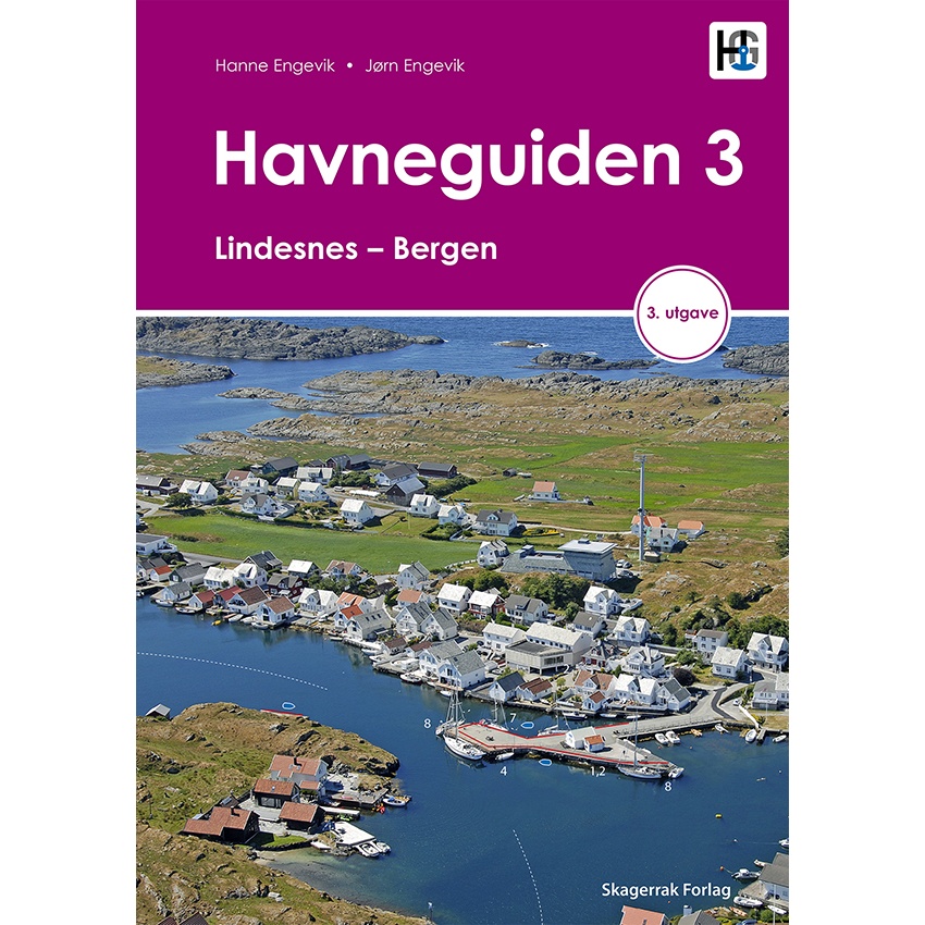
Havneguiden 3 – Lindesnes to Bergen
Updated harbor guide for the West Coast from Lindesnes to Bergen, with detailed maps and descriptions.
-
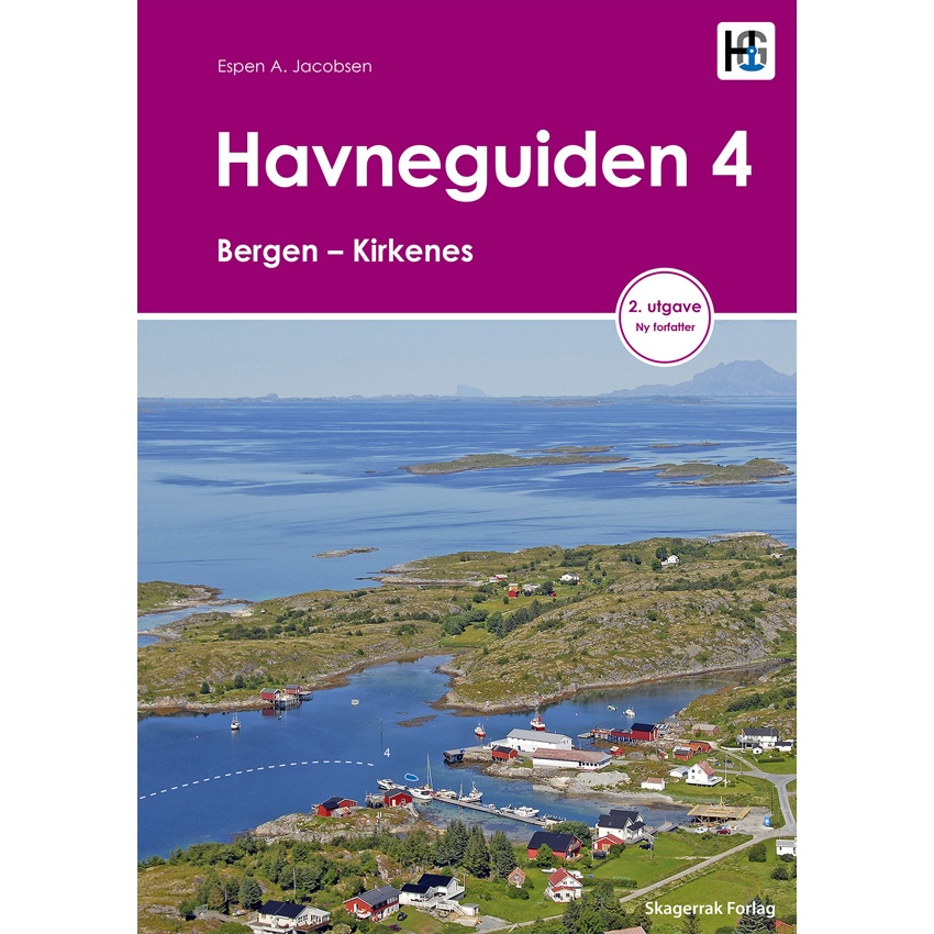
Havneguiden 4 – Bergen to Kirkenes
Updated port guide for the Norwegian coast from Bergen to Kirkenes, with detailed maps and descriptions of ports in the north.
-
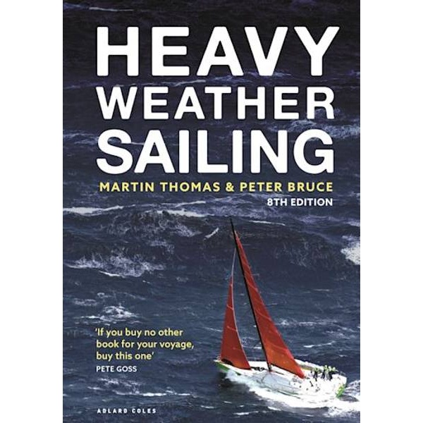
Heavy Weather Sailing
Classic and thorough guide to heavy weather sailing – tactics, preparation and safe handling in extreme conditions.
-
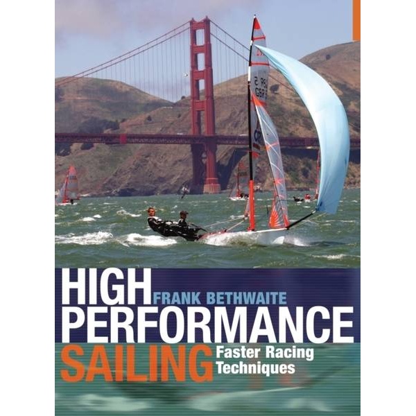
High Performance Sailing
Classic standard work on high-performance sailing and racing – the techniques behind faster sailing on the regatta course.
-
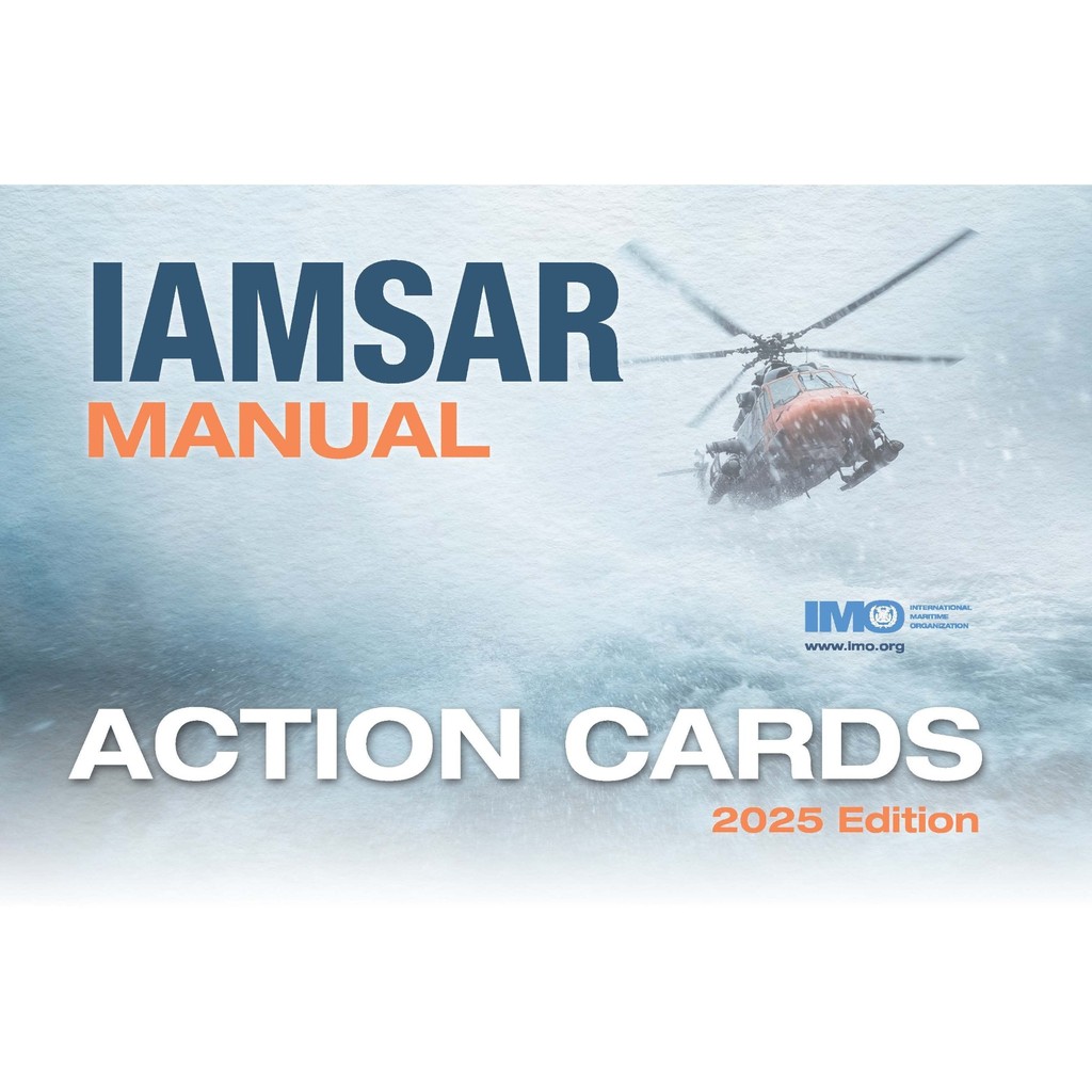
IAMSAR Manual Action Cards (2025 Edition) – IMO IC966E
Operational action cards for search and rescue (SAR) operations. Official publication from IMO and ICAO for use with the IAMSAR Manual.
-
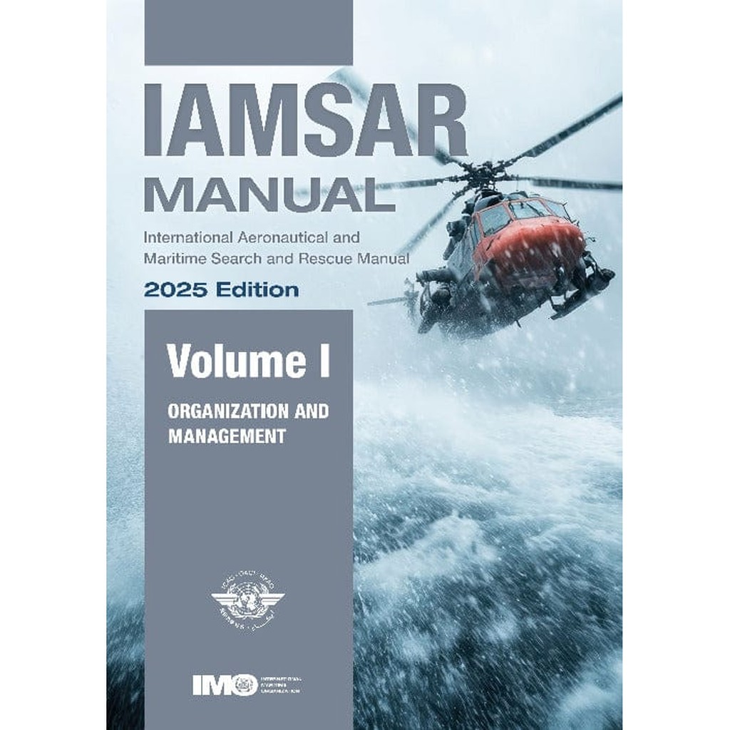
IAMSAR Manual Volume I (2025 Edition) – IMO IL962E
Official IMO/ICAO manual for the organization and management of national and international search and rescue (SAR) services. The 2025 edition was published in October 2025 and contains updates approved by the IMO Maritime Safety Committee (MSC.1/Circ.1686, December 2024). The changes take effect on January 1, 2026, and this edition replaces previous versions.