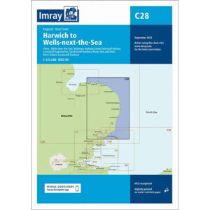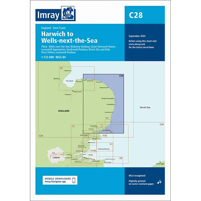
Description
This boating map covers the east coast of England from Harwich in the south to Wells-next-the-Sea in the north. The map includes detailed plans and approaches to key ports and coastal areas such as Harwich and Felixstowe, Ipswich and River Orwell, River Stour, Lowestoft, Great Yarmouth, River Bure, River Yare, Blakeney Harbour and Wells-next-the-Sea.
The chart is well suited for leisure boats and sailboats traveling along this part of England’s east coast, either as part of inshore sailing or when planning longer legs in the North Sea. The area is characterized by shallow waters, sandbanks, tidal currents and busy approaches, and the chart provides a solid foundation for safe navigation and route planning.
Imray is a recognized British chart manufacturer with extensive experience in nautical cartography for leisure and long-distance sailing. Their charts are developed with a focus on high readability, practical use and clear presentation of navigation-relevant information.