-
IAMSAR Manual Volume II (2025 Edition)
Official IMO/ICAO manual for search and rescue (SAR) mission coordination. Used by rescue coordination centers and SAR coordinators. The 2025 edition is scheduled for delivery from the IMO in March 2026. Pre-order now for delivery as soon as it is in stock.
-
IAMSAR Manual Volume III (2025 Edition) – IMO IL962E
IAMSAR Manual Volume III (International Aeronautical and Maritime Search and Rescue Manual) is the official SAR handbook from IMO and is used by ships, rescue services and maritime operators worldwide. The publication is part of IMO’s international regulations and is used in training, preparedness and operational service on board vessels. The 2025 edition was published…
-
Iceland – large car atlas (multilingual)
Large and detailed road atlas of Iceland with full coverage of road network, highland roads, campsites and tourist information. Suitable for planning and road travel.
-
IJmuiden to Die Elbe – Imray C26
Detailed Imray boating map for the North Sea coast from IJmuiden to Elbe.
-
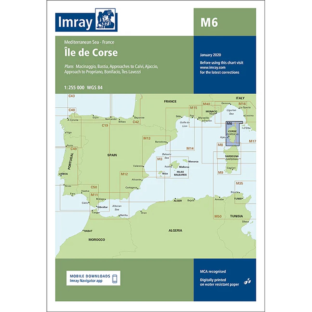
Île de Corse – Imray M6
Detailed boating map for Corsica, including Bastia, Ajaccio, Bonifacio and Calvi. The map is well suited for sailing and powerboating in a varied and weather-prone Mediterranean area.
-
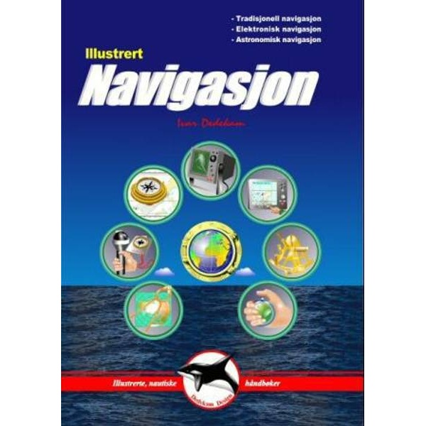
Illustrated Navigation
Illustrated and practical handbook of navigation at sea, with coverage of both traditional and modern methods. The author has been a sailing instructor for a number of years and has logged more than 50,000 nautical miles including three Atlantic crossings.
-
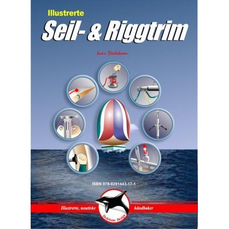
Illustrated rope & rigging trim
Illustrated and practical guide to sail and rigging trim for better sail handling and control.
-
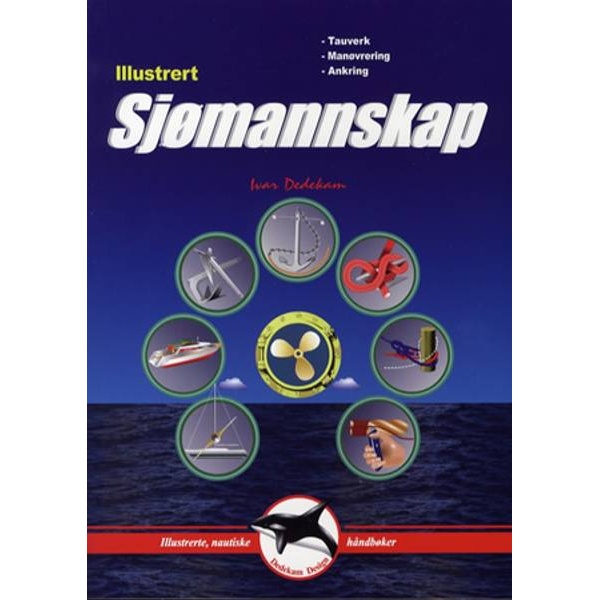
Illustrated seamanship
Illustrated and practical manual on seamanship for leisure boats, focusing on ropes, maneuvering and anchoring.
-
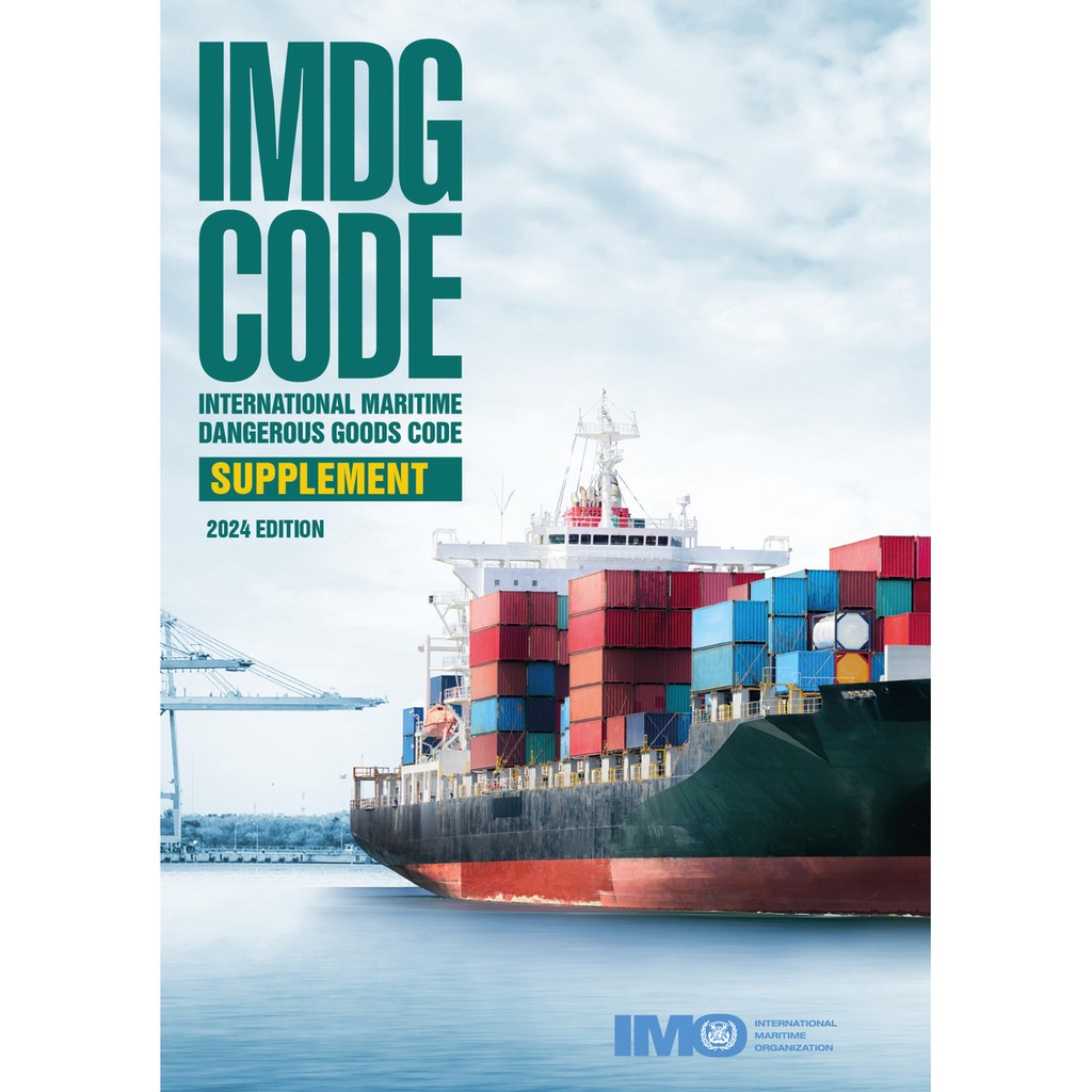
IMDG Code Supplement, 2024 Edition – IMO IM210E
Official IMO publication containing supplementary material to the IMDG Code, including EmS Guide and Medical First Aid Guide (MFAG) for handling accidents involving dangerous goods.
-
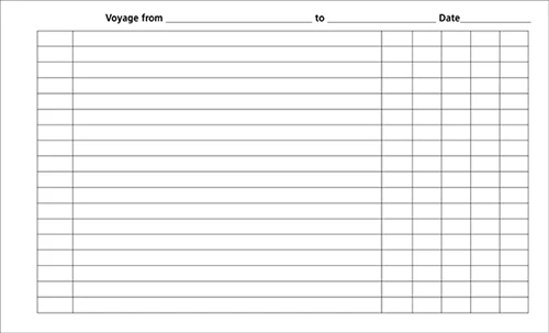
Imray Navigator’s logbook
Practical navigation logbook with loose sheets in ring binder and durable, water-resistant cover. Suitable for sailing and documenting trips. The logbook provides ample space for notes and navigation data, and can be easily customized with new pages as needed.
-
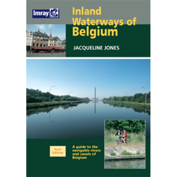
Inland Waterways of Belgium
Guidebook for sailing on Belgium’s inland waterways, with an overview of rivers, canals, locks and practical conditions for leisure boats.
-
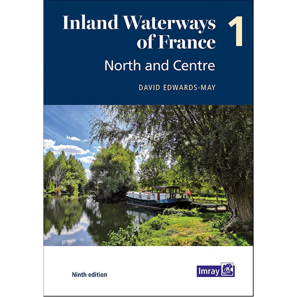
Inland Waterways of France – Volume 1: North and Centre
Detailed guide to canals and inland waters in northern and central France. A key reference work for boaters navigating France’s most used canal systems.
-
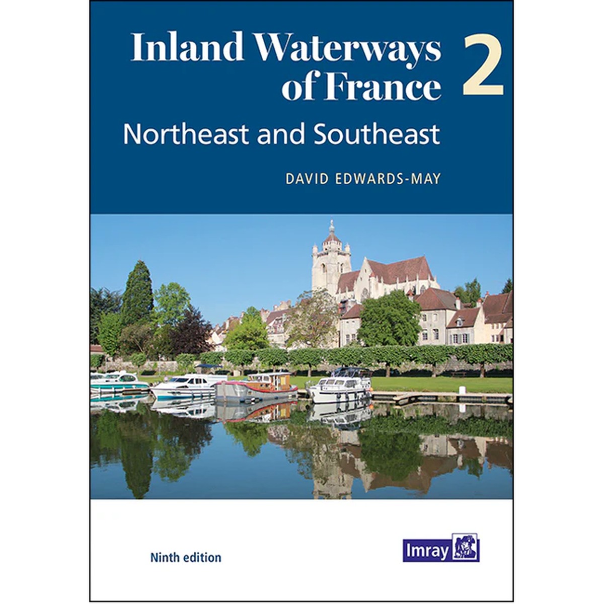
Inland Waterways of France – Volume 2: Northeast and Southeast
Detailed guide to canals and inland waterways in Northeast and Southeast France. The book provides practical and up-to-date information for safe and efficient canal navigation.
-
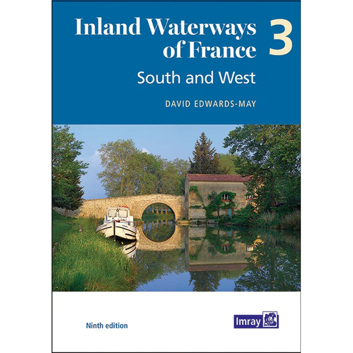
Inland Waterways of France – Volume 3: South and West
Detailed guide to the canals and inland waters of southern and western France. The book covers key routes for both leisure and canal boats, with practical and up-to-date information.
-
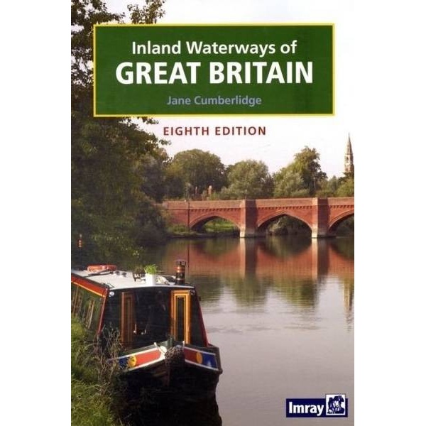
Inland Waterways of Great Britain
Comprehensive guidebook for sailing on canals and rivers in the UK, with an overview of routes, locks and practical conditions for leisure boats.
-
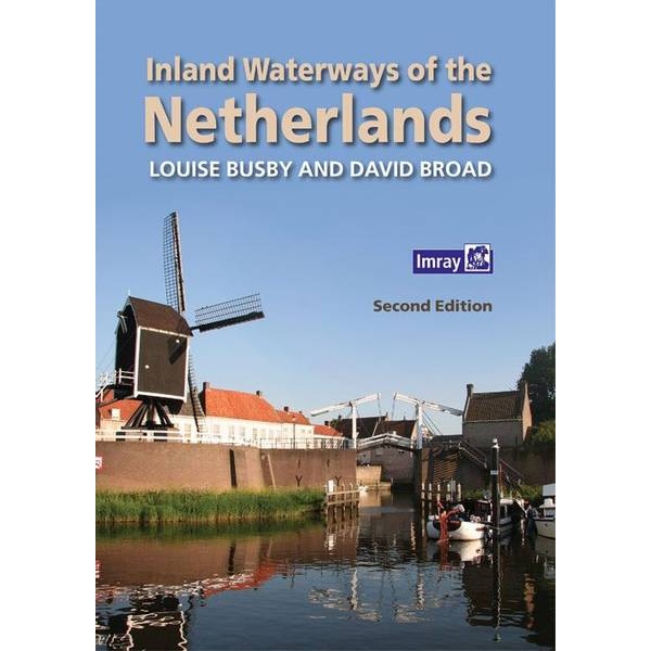
Inland waterways of the Netherlands
Comprehensive guidebook for sailing on the inland waterways of the Netherlands, with an overview of canals, rivers, locks and practical conditions for leisure boats.
-
International Code of Signals, 2005 Edition – IMO IB994E
Official IMO publication containing the International Code of Signals – a globally standardized system for communication between vessels and between vessels and shore.
-

International Medical Guide for Ships – IMO I115E
Official medical guide for the treatment of illness and injury on board ships. Developed by the WHO in collaboration with the IMO and ILO.
-
Ionian
Pilot book and cruising guide for sailing in the Ionian Sea, covering the islands and coasts from Corfu to Finakounda and Mesolongion.
-

Irish Sea – Imray C62
Overview map from Imray covering the Irish Sea between Ireland and the UK, designed for route planning and ocean sailing.