Description
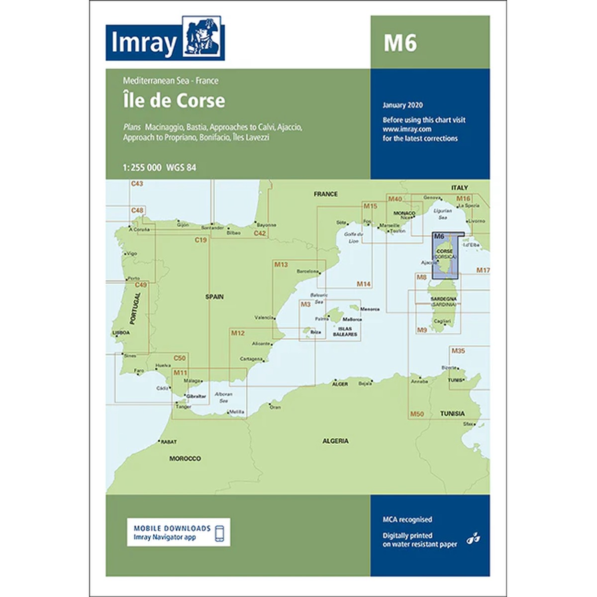
Imray M6 Île de Corse is a detailed nautical chart covering all of Corsica and surrounding waters in the western Mediterranean. The map includes ports and approaches at Bastia, Ajaccio, Calvi and Bonifacio, as well as Les Îles Lavezzi south of the island.
The chart provides a good overview of the coastline, shoals, anchorage areas and navigation marks in an area known for both challenging weather conditions and spectacular coastal scenery. As with other Imray charts, it is produced to WGS 84 datum and is fully compatible with modern electronic navigation systems.
The chart is printed on durable, water-resistant paper and is well suited for active use on board. It serves both as a primary navigation aid along the Corsican coast and as a supplement to an electronic chartplotter.