-
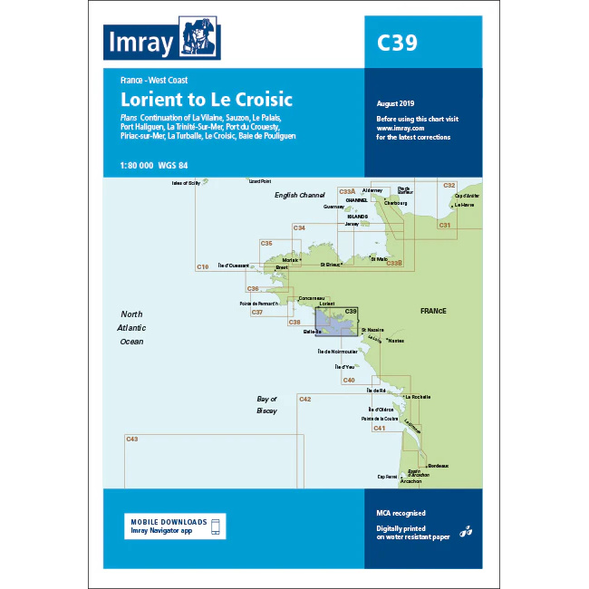
Lorient to Le Croisic – Imray C39
Detailed Imray boating map for the south coast of Brittany from Lorient to Le Croisic.
-
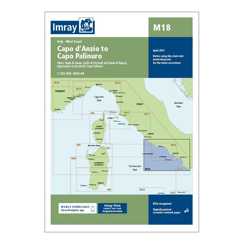
M18: Capo d’Anzio to Capo Palinura
Overview map covering the west coast of Italy from Capo d’Anzio to Capo Palinuro. Suitable for route planning and general navigation in the Tyrrhenian Sea.
-

Madeira, Porto Santo and the Desertas Islands – Imray E3
This overview chart from Imray covers the Madeira archipelago, including Madeira, Porto Santo and the Desertas Islands, and is designed for sailors navigating the North Atlantic. It provides a clear and concise representation of the archipelago and its strategic location on the sailing routes between Europe, Africa and the Caribbean. Imray has a long tradition…
-
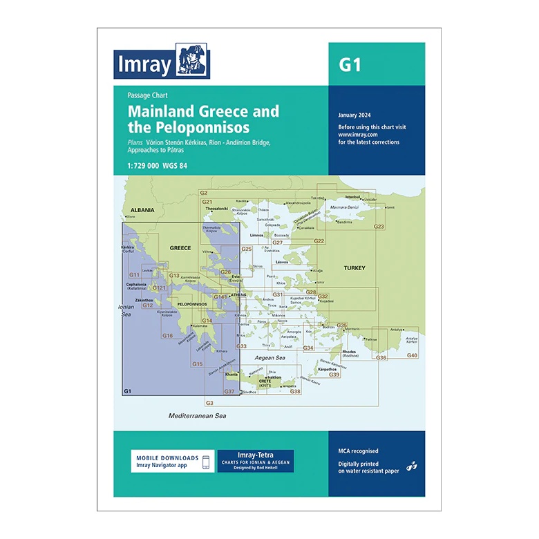
Mainland Greece and the Peloponnisos – Imray G1
Overview map covering the Greek mainland and Peloponnese. Suitable for route planning and general navigation.
-
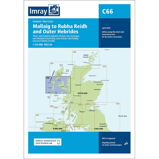
Mallaig to Rubha Reidh & Outer Hebrides – Imray C66
Overview chart from Imray covering Mallaig, Rubha Reidh and the Outer Hebrides, designed for sailing along the west coast of Scotland.
-
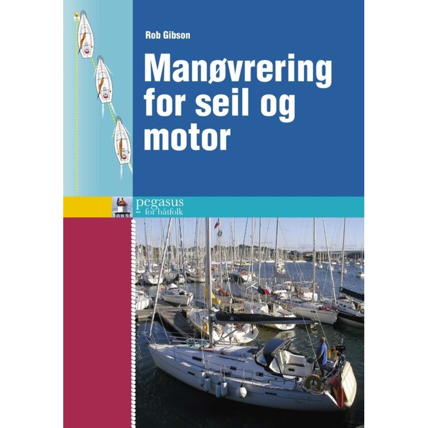
Maneuvering for sails and engine
A practical guide to safe sailboat and powerboat maneuvering – precise boat handling in port and narrow waters.
-
Map of the Inland Waterways of Scotland
Overview map of Scotland’s inland waterways, including the Caledonian Canal, Crinan Canal, Forth & Clyde Canal and Union Canal. The map provides an overview of routes and connections for travel on Scottish canals.
-
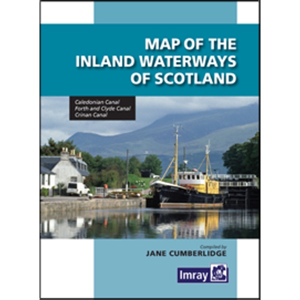
Map of the Inland Waterways of Scotland
A detailed overview map of Scotland’s inland waters, covering canals, rivers, lochs and key lock links. The map provides a comprehensive view of the Scottish canal system and is a useful planning tool for boaters traveling on inland waters, as well as for sailors combining coastal and canal navigation. Published by Imray, renowned for reliable…
-
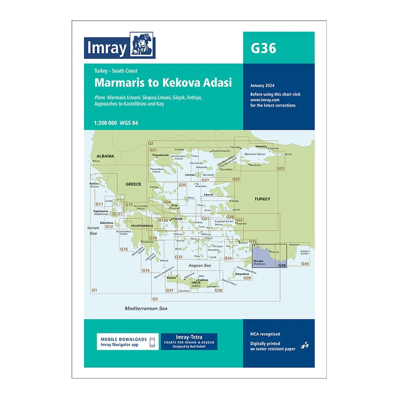
Marmaris to Kekova Adası – Imray G36
Overview map covering the south coast of Turkey from Marmaris to Kekova Adası. Suitable for route planning and overall navigation in the Eastern Mediterranean.
-
MARPOL Consolidated Edition (2022) – IMO Convention – IMO IF520E
Official IMO publication containing the MARPOL Convention with all current annexes and amendments. Standard reference work for the prevention of pollution from ships.
-
Marseille to San Remo – Imray M15
Overview map covering the coastline from Marseille via the French Riviera to San Remo. Suitable for route planning and general navigation in the Western Mediterranean.
-
Martinique – Imray A30
Overview map from Imray covering all of Martinique for sailing and route planning.
-
Martinique to Grenada, Tobago and Barbados – Imray B5
Overview map from Imray for ocean crossings and route planning between Windward Islands in the Caribbean.
-
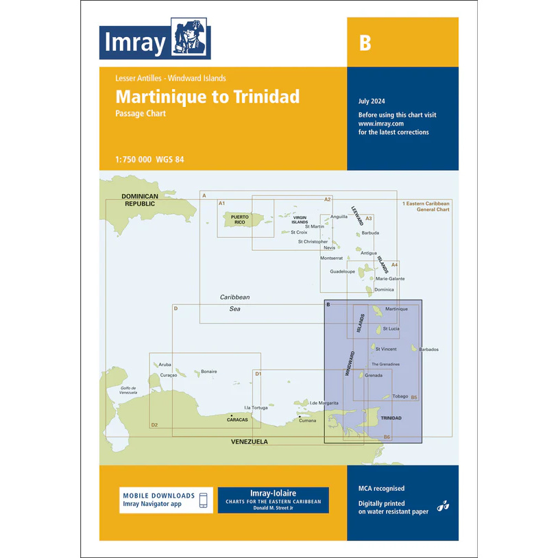
Martinique to Trinidad – Imray B
Overview map from Imray for ocean crossings and route planning between Martinique and Trinidad in the Caribbean.
-
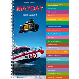
MAYDAY – Practical use of VHF
Practical handbook showing the correct use of VHF for emergencies, safety messages and daily communication at sea.
-

Medical Log Book
Medical log for recording treatment and health monitoring on board.
-
Mediterranean Cruising Handbook
A thorough and authoritative handbook for sailors and cruisers in the Mediterranean. The book provides an overview of routes, climate, navigation, formalities, safety and practical boating – all in one complete reference.
-
Mediterranean Cruising Handbook
The Mediterranean Cruising Handbook is a comprehensive reference work for sailing in the Mediterranean. The book provides an overview of weather conditions, sailing patterns, route choices, ports and practicalities such as formalities, safety and local navigation. An essential planning tool for cruising and long-distance sailors traveling in the Mediterranean, published by Imray.
-
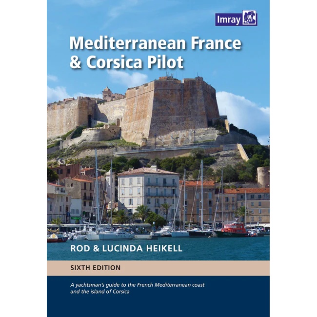
Mediterranean France & Corsica Pilot
Comprehensive pilot book for sailing along the French Mediterranean coast and around Corsica, with detailed descriptions of ports and anchorages.
-
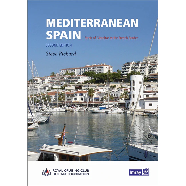
Mediterranean Spain
Pilot book for sailing along Spain’s Mediterranean coast, from the Strait of Gibraltar to the French border.