-
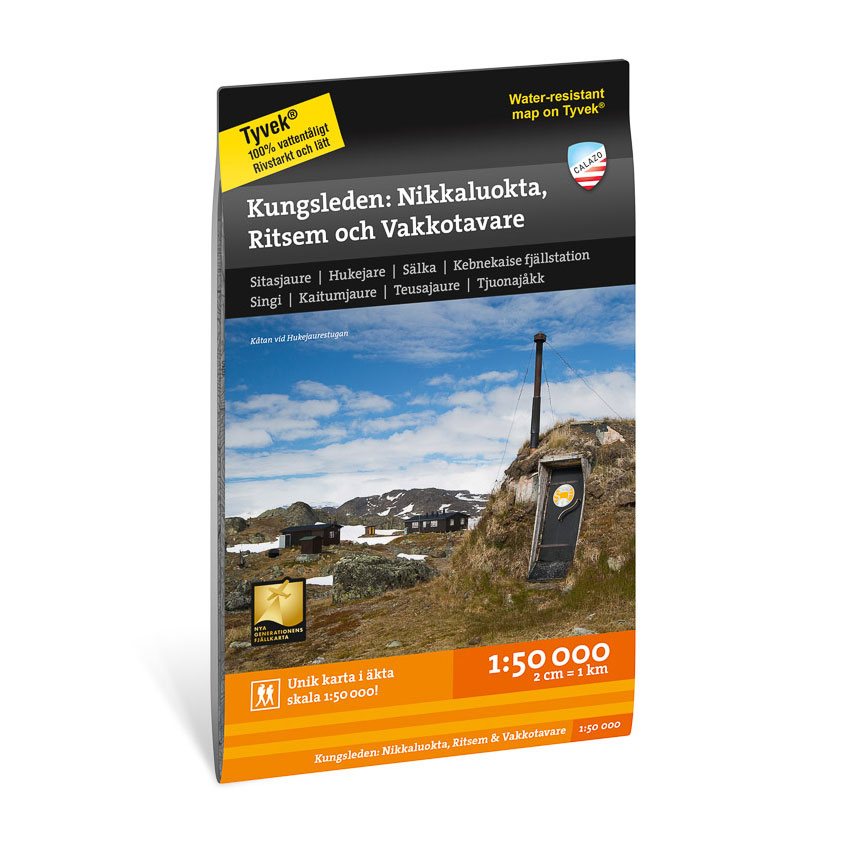
Kungsleden: Nikkaluokta, Ritsem & Vakkotavare 1:50,000
Detailed hiking map of Kungsleden between Nikkaluokta, Ritsem and Vakkotavare in scale 1:50 000. The map is particularly suitable for longer hikes in Swedish Lapland.
-
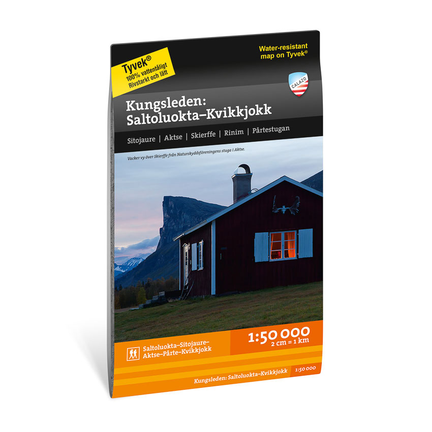
Kungsleden: Saltouluokta – Kvikkjokk 1:50.000
Detailed hiking map of the King’s Trail between Saltoluokta and Kvikkjokk at a scale of 1:50,000. A robust mountain map from Calazo, suitable for longer hikes in Swedish Lapland.
-
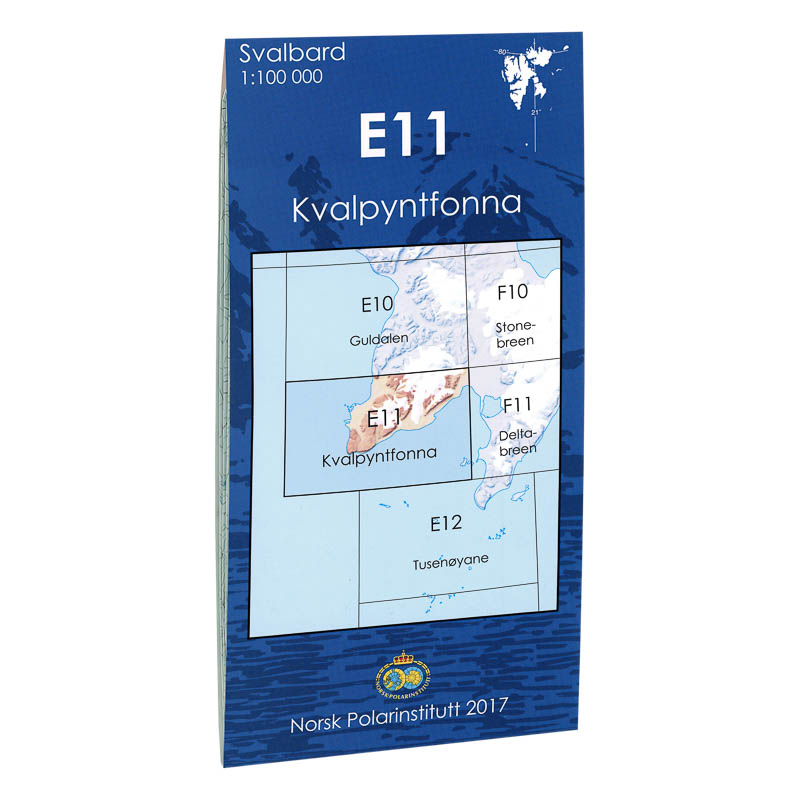
Kvalpyntfonna E11
Map in scale 1:100000 from the Norwegian Polar Institute.
-
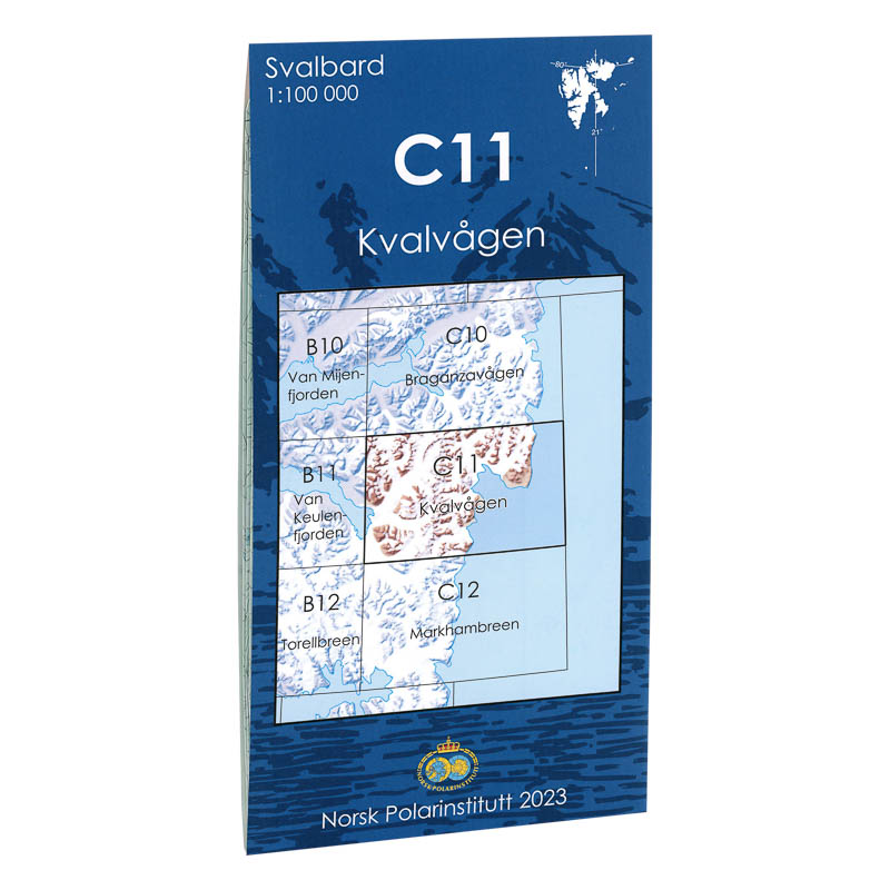
Kvalvågen C11
Map in scale 1:100000 from the Norwegian Polar Institute.
-
Kvitøya J3
Map in scale 1:100000 from the Norwegian Polar Institute.
-
Kyrksæterøra Norge-serien Hiking Map
Detailed hiking map of Kyrksæterøra in the Norge-serien – the classic red hiking maps that have been a trusted companion in Norwegian backpacks for generations. The maps are systematically divided with overlap to adjacent maps, providing good continuity as you move through the terrain.
-
La Palma – road map (multilingual)
Detailed road map of La Palma with an overview of the road network, hiking trails and important areas. Suitable for both car travel and easy hiking. The map provides a high level of detail and includes tourist information and city maps for easier navigation. Scale 1:40,000 provides very good precision.
-
La Palma – Turkish map (multilingual)
Detailed hiking map of La Palma with an overview of hiking trails and important nature areas. Suitable for hiking and active exploration. The map provides a high level of detail and is suitable for both short and longer trips. The scale of 1:30,000 provides very good precision.
-

Lakkonjarga Norway Series Hiking Map
Detailed hiking map of Lakkonjarga in the Norway Series – the classic red hiking maps that have been a faithful companion in Norwegian backpacks for generations. The maps are systematically divided with overlaps to adjacent maps, ensuring good continuity as you move through the terrain.
-
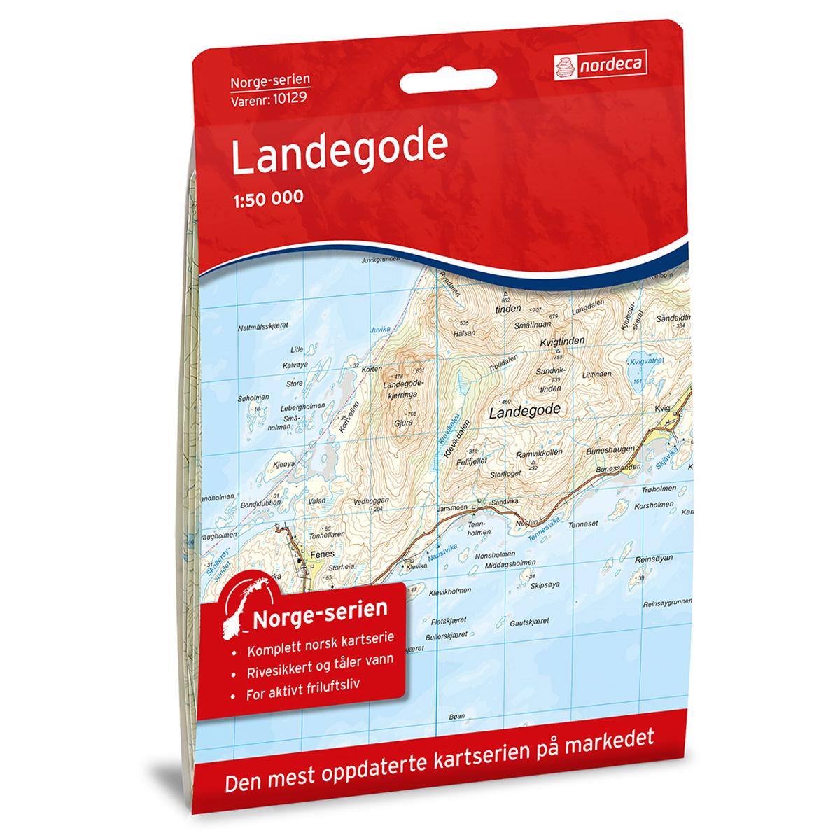
Landegode Norway Series Hiking Map
Detailed hiking map of Landegode in the Norway Series – the classic red hiking maps that have been a trusted companion in Norwegian backpacks for generations. The maps are systematically divided with overlaps to adjacent maps, ensuring good continuity as you move through the terrain.
-

Langsua National Park Topo 3000 Hiking Map
Detailed topographic hiking map of Langsua National Park Topo 3000 Hiking Map, from Nordic Maps (formerly Nordeca). Topo 3000 is a popular map series for mountain hikes and longer trips in varied terrain.
-

Larvik city map
Detailed city and tourist map of Larvik with Stavern, Helgeroa and Tjølling. Main map in 1:15 000 and city center map in larger scale.
-
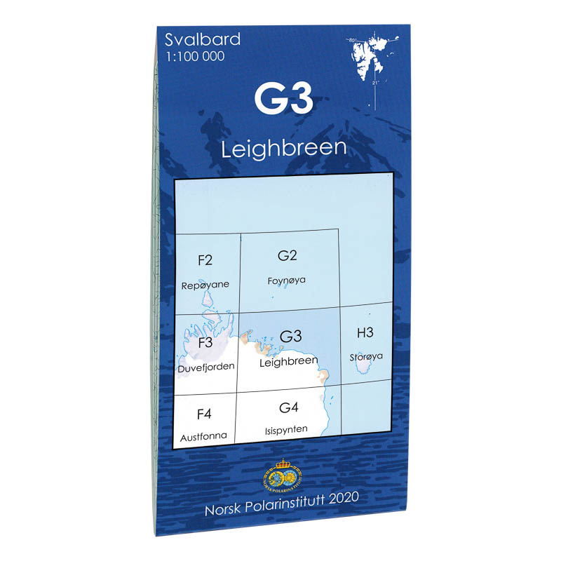
Leighbreen G3
Map in scale 1:100000 from the Norwegian Polar Institute.
-

Leknes Norway Series Hiking Map
Detailed hiking map of Leknes in the Norway Series – the classic red hiking maps that have been a faithful companion in Norwegian backpacks for generations. The maps are systematically divided with overlaps with adjacent maps, providing seamless continuity as you move through the terrain.
-
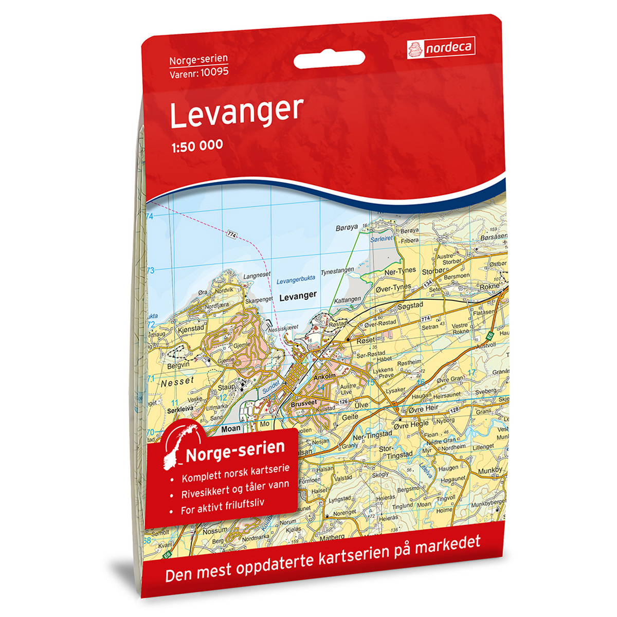
Levanger Norway Series Hiking Map
Detailed hiking map of Levanger from the Norway Series – the classic red hiking maps that have been a trusted companion in Norwegian backpacks for generations. The maps are systematically divided with overlaps to adjacent maps, ensuring good continuity as you move through the terrain.
-
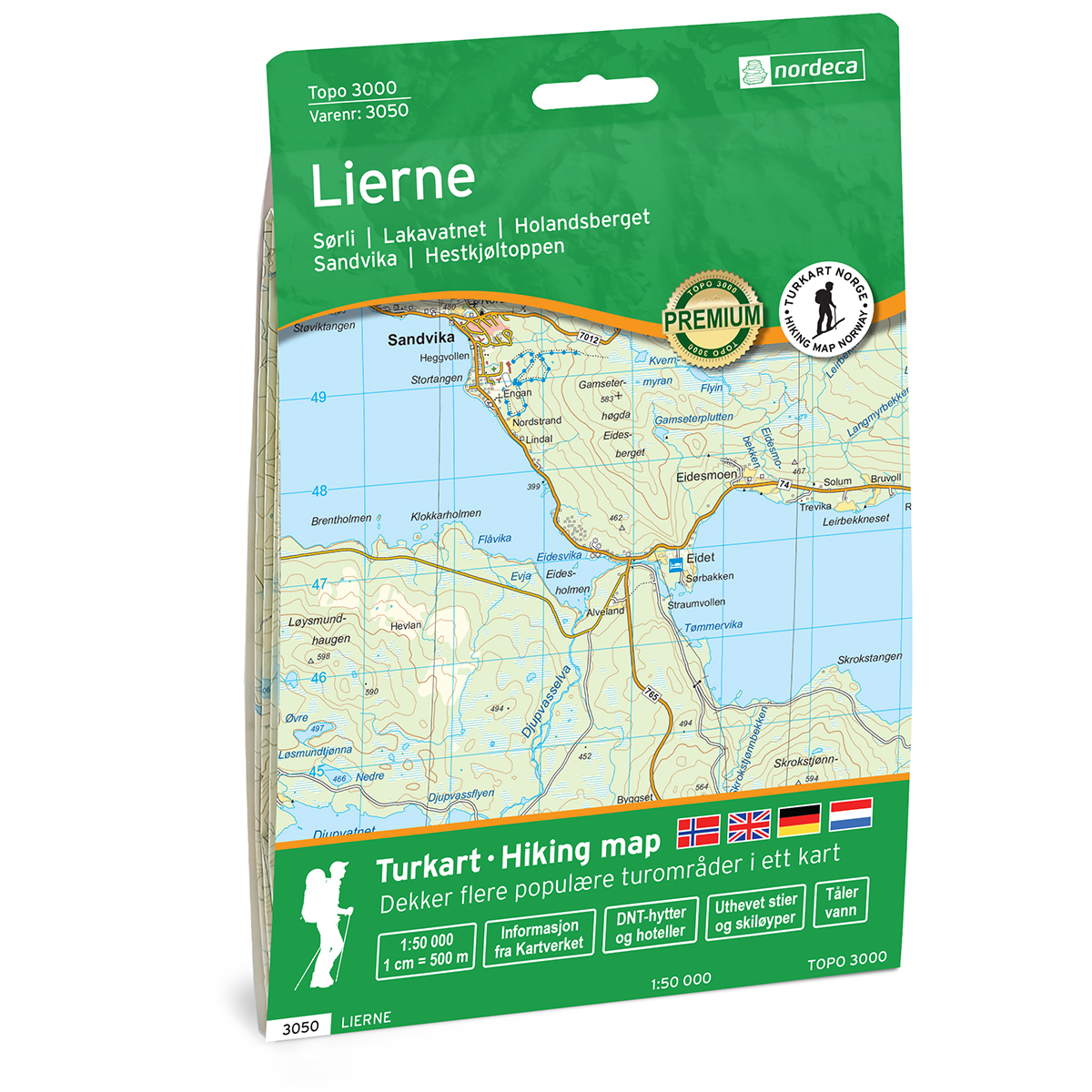
Lierne Topo 3000 Turkart
Detailed topographic hiking map of Lierne Topo 3000 Turkart, from Nordic Maps (formerly Nordeca). Topo 3000 is a popular map series for mountain hikes and longer hikes in varied terrain.
-
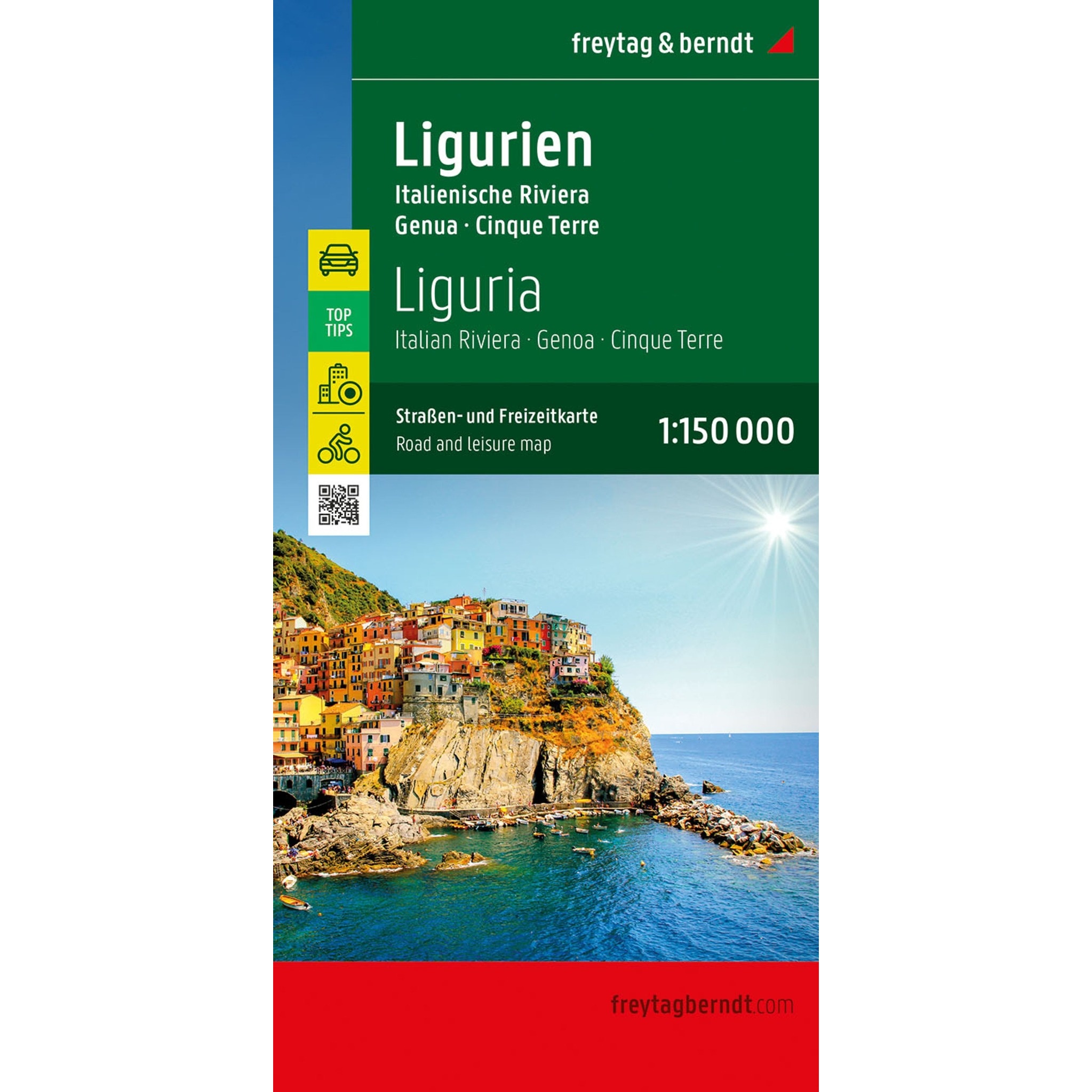
Liguria – road map (multilingual)
Detailed road map of Liguria with coverage of the Italian Riviera, Genoa and Cinque Terre. Suitable for planning and road travel. The map provides an overview of both main roads and smaller routes, and includes tourist information, campsites and city maps. The scale 1:150,000 provides a high level of detail.
-
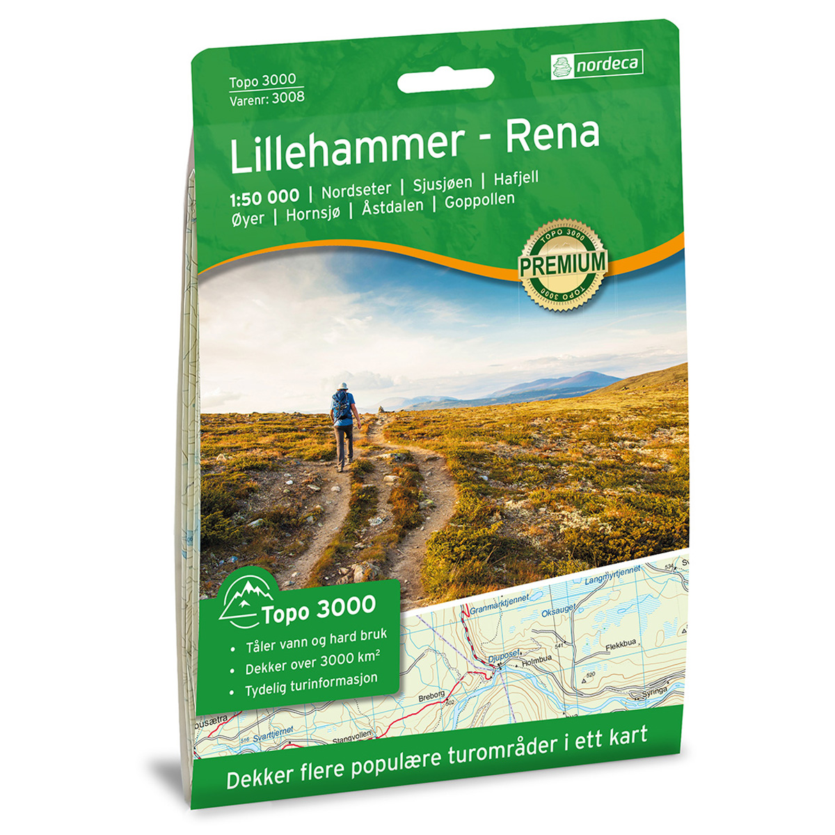
Lillehammer-Rena 1:50,000 Topo 3000 Hiking Map
Detailed topographic hiking map of Lillehammer-Rena 1:50,000 Topo 3000 Hiking Map, from Nordic Maps (formerly Nordeca). Topo 3000 is a popular map series for mountain hiking and longer trips in varied terrain.
-
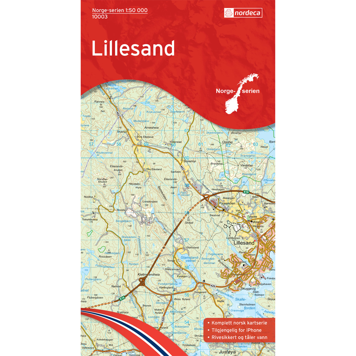
Lillesand Norge-serien Hiking Map
Detailed hiking map of Lillesand in the Norge-serien – the classic red hiking maps that have been a trusted companion in Norwegian backpacks for several generations. The maps are systematically divided with overlap to adjacent maps, which provides good continuity as you move through the terrain.
-
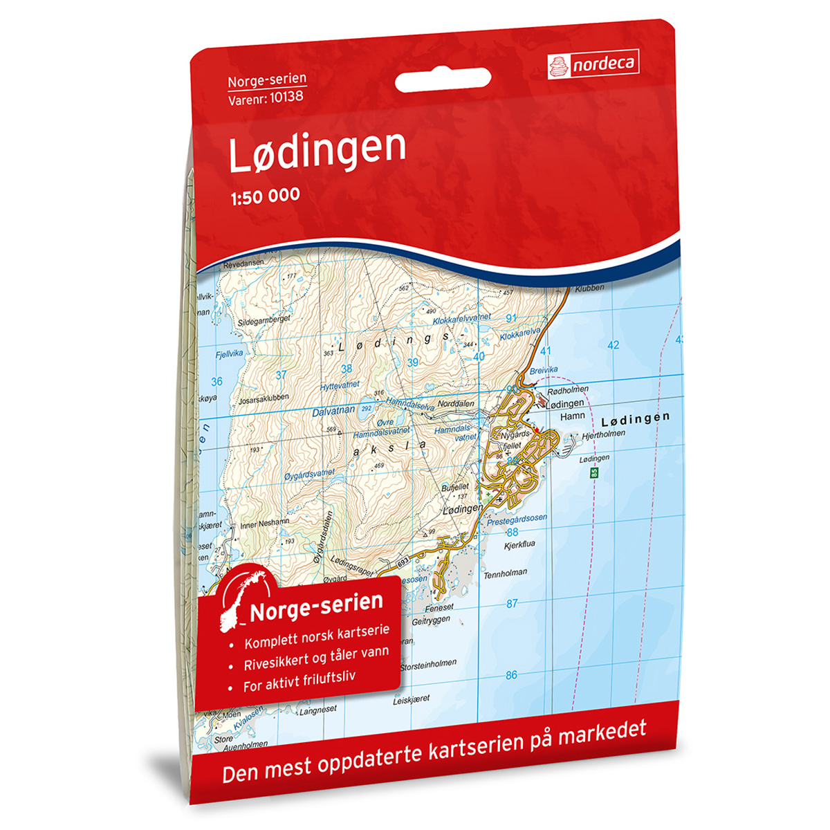
Lødingen Norway Series Hiking Map
Detailed hiking map of Lødingen from the Norway Series – the classic red hiking maps that have been a trusted companion in Norwegian backpacks for generations. The maps are systematically divided with overlaps to adjacent maps, ensuring good continuity as you move through the terrain.