-
A Coruña to Porto – Imray C48
Detailed Imray boating map for the Atlantic coast from A Coruña in Spain to Porto in Portugal.
-
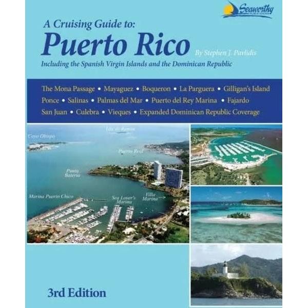
A Cruising Guide to Puerto Rico
Detailed cruising guide for sailing around Puerto Rico, including the Spanish Virgin Islands and parts of the Dominican Republic, with port descriptions and practical advice for sailors.
-
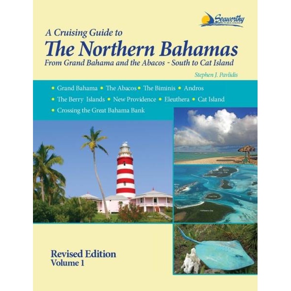
A Cruising Guide to the Northern Bahamas
Detailed sailing guide for the Northern Bahamas – from Grand Bahama and Abacos to Cat Island – with a focus on safe navigation and anchoring.
-
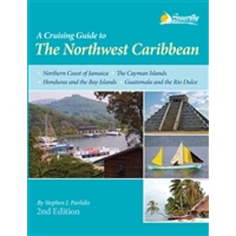
A Cruising Guide to the Northwest Caribbean
Detailed pilot book for sailing in the northwestern Caribbean, with port descriptions, anchorages and practical advice for safe and efficient cruising in the region.
-
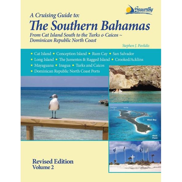
A Cruising Guide to the Southern Bahamas
Detailed sailing guide for the Southern Bahamas, from Cat Island to Turks & Caicos, focusing on anchorages, navigation and local conditions.
-

A Cruising Guide to the Virgin Islands
Detailed cruising guide for the U.S., British and Spanish Virgin Islands, focusing on anchorages, marinas and safe navigation.
-
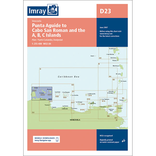
ABC Islands – Imray D23
This boating chart covers the coastline from Punta Aguide to Cabo San Román in Venezuela, as well as the islands of Aruba, Bonaire and Curaçao (ABC Islands). Designed for recreational boating and sailboat navigation in the southern Caribbean, the chart provides an overview of coastlines, ocean areas and key approaches in the region. The chart…
-
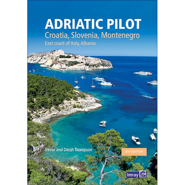
Adriatic Pilot – Croatia, Slovenia, Montenegro, Italy, Albania
Comprehensive pilot book for sailing in the Adriatic Sea, with coverage of Croatia, Slovenia, Montenegro, Albania and the east coast of Italy.
-
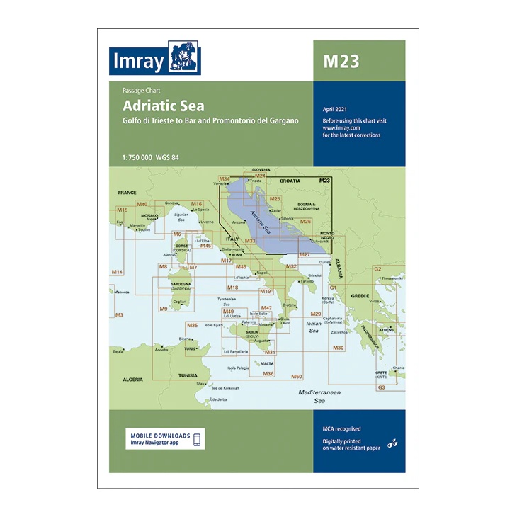
Adriatic Sea – Imray M23
Passage map covering the entire Adriatic Sea. Suitable for route planning and overall navigation between Italy and the Balkan coast.
-
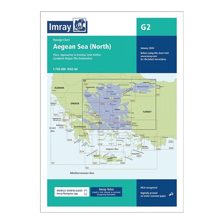
Aegean Sea (North) – Imray G2
Passage map covering northern parts of the Aegean Sea. Suitable for route and passage planning between Greece and Turkey.
-
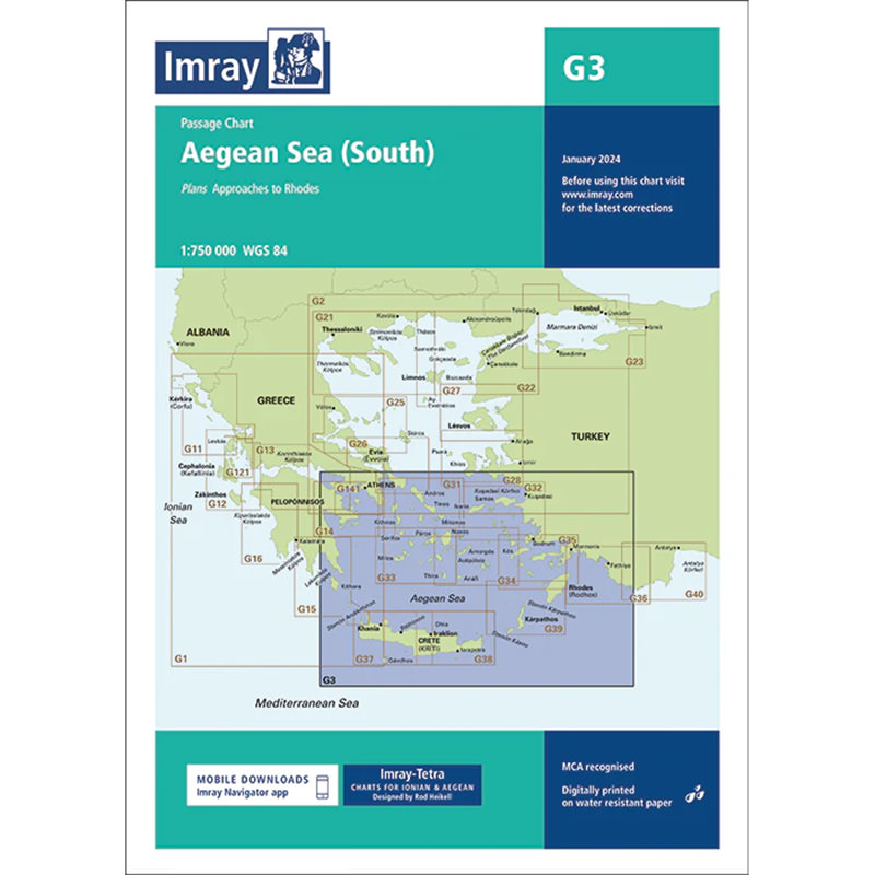
Aegean Sea (South) – Imray G3
Detailed Imray boating map for the southern Aegean Sea in Greece. Providing an overview of sailing routes, ports and anchorages, the map is ideal for leisure sailing and cruising in the region.
-

Aeolian Islands – Imray M47
Detailed boating map for the Aeolian Islands north of Sicily, including Lipari, Vulcano, Stromboli and Salina. The map is well suited for sailing in a weather and current prone Mediterranean area.
-

Alps – large car atlas (multilingual)
Large and detailed car atlas of the Alps with full coverage of the Alpine region, mountain roads, campsites and tourist information. Suitable for planning and road trips.
-
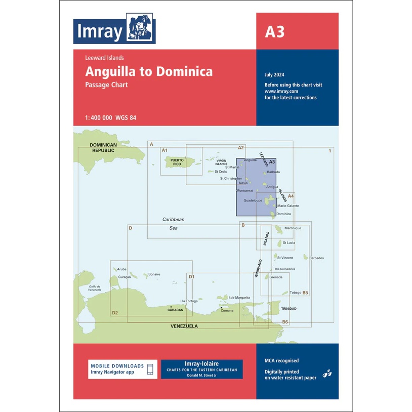
Anguilla to Dominica – Imray A3
Overview and passage charts from Imray for sailing between Anguilla and Dominica in the Caribbean.
-

Anguilla, St Martin and St Barthelemy – Imray A24
Detailed boating map from Imray for sailing and navigation between Anguilla, St Martin and St Barthelemy.
-
Anse de Bénodet to Presqu’île de Quiberon – Imray C38
Detailed Imray boating map for the south coast of Brittany from Anse de Bénodet to Presqu’île de Quiberon.
-
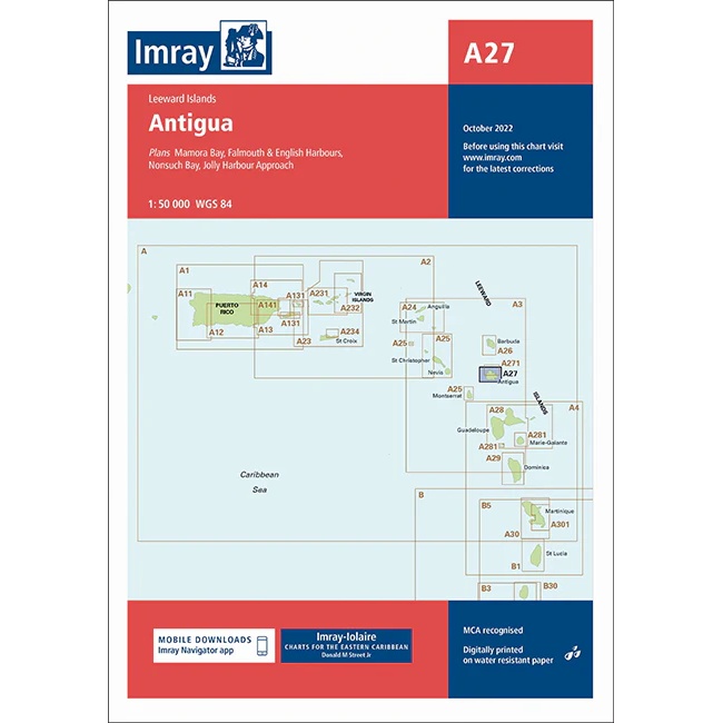
Antigua – Imray A27
Detailed boating map from Imray for sailing and navigation around Antigua.
-
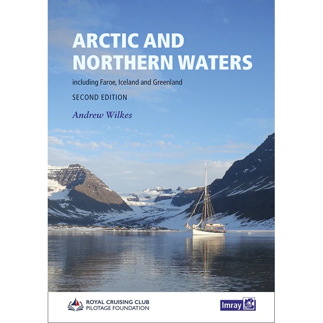
Arctic and Northern Waters
Specialized pilot book for sailing in Arctic and northern waters, including the Faroe Islands, Iceland and Greenland.
-
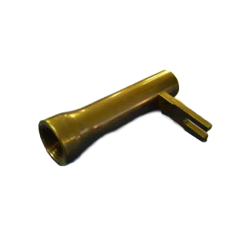
Astra IIIB Sight Tube (Clear Tube) – Sight tube for sextant
Astra IIIB Sight Tube is a sextant sight tube that provides a wide field of view for astronomical navigation.
-
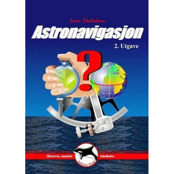
Astronavigation (3rd and final edition)
Norwegian textbook in astronomical navigation – a practical introduction to navigation with the sun, moon and stars.