Description
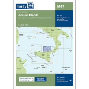
Imray M47 Aeolian Islands is a detailed nautical chart covering the Aeolian Islands (Isole Eolie) north of Sicily. The map includes approaches and harbors at Lipari, Vulcano, Salina, Stromboli, Panarea, Filicudi and Alicudi, as well as approaches from Sicily.
The chart provides a clear overview of the coastline, shoals, anchorage areas and navigation marks in an area known for deep water close to shore, strong local winds and volcanic activity. Like other Imray charts, it is produced to WGS 84 datum and is compatible with modern electronic navigation systems.
Printed on durable, water-resistant paper, the map is suitable for active use on board, both as a primary navigation aid and as a supplement to an electronic chartplotter.