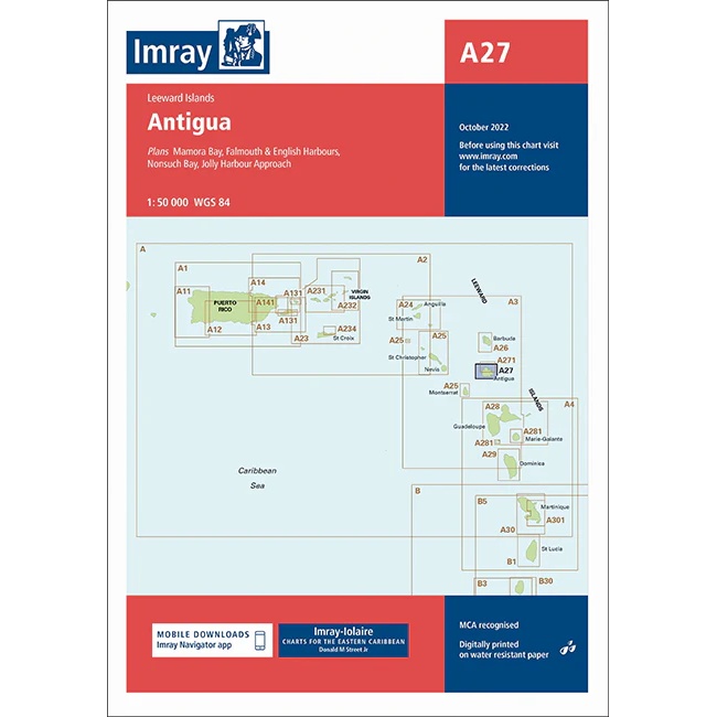
Description
This boating chart from Imray covers the island of Antigua in the Leeward Islands and is designed for coastal navigation and sailing around the island. The chart provides a good overview of the coastline, bathymetry and key sailing areas, and includes detailed plans of key harbors, bays and anchorages.
The chart is well suited for leisure boats and sailboats traveling around Antigua, both for active navigation and for planning routes and ports of call. It serves as a master chart for the area and can be advantageously combined with overview and passage charts for longer legs in the Caribbean.
Imray is a renowned British manufacturer of nautical charts, known for its easy-to-use boating charts designed specifically for practical sailing and cruising in international waters.