-
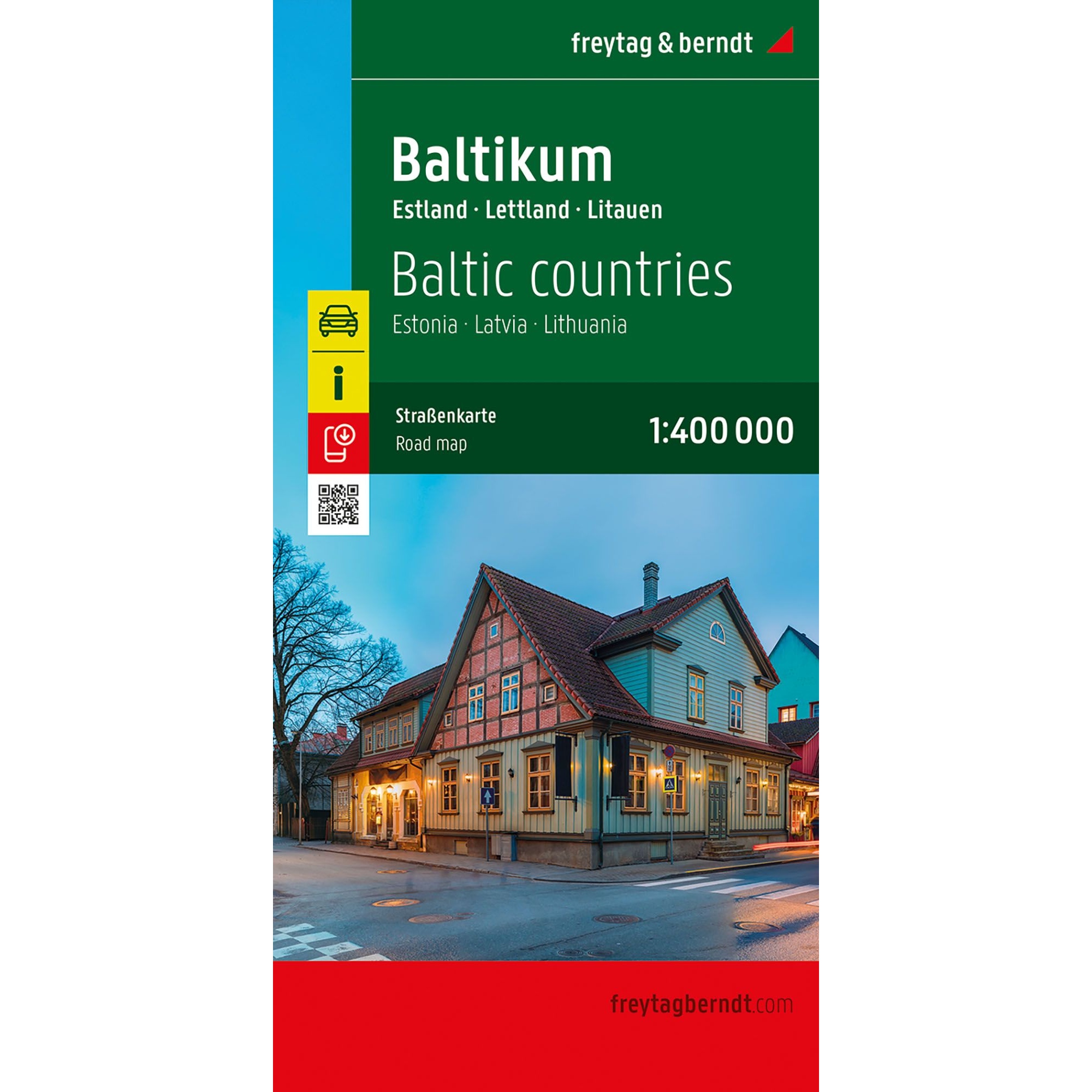
Baltics – roadmap (multilingual)
Detailed and clear road map of the Baltic States covering Estonia, Latvia and Lithuania at a scale of 1:400,000. The map is ideal for car, motorcycle and motorhome travel, with clear road structure, distances, campsites and tourist information. Includes digital place index with postcodes via QR code. A reliable travel map from freytag & berndt,…
-
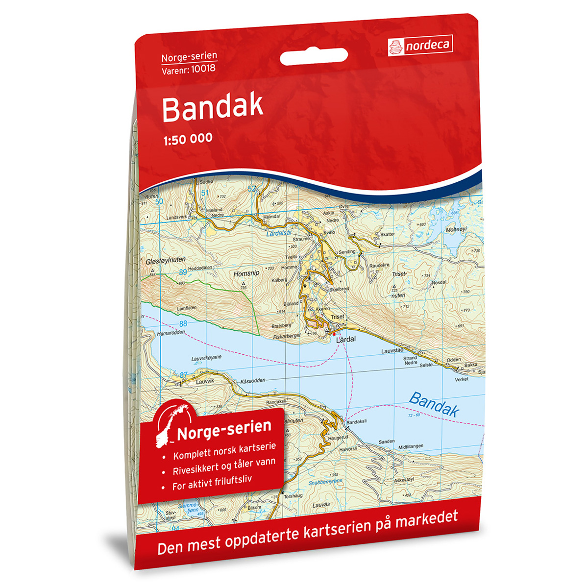
Bandak Norge Series Hiking Map
Detailed hiking map of Bandak in the Norge series – the classic red hiking maps that have been a trusted companion in Norwegian backpacks for several generations. The maps are systematically divided with overlap to adjacent maps, which provides good continuity as you move through the terrain.
-
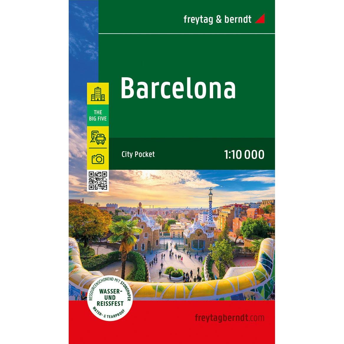
Barcelona – road map (multilingual)
Detailed road map of Barcelona city center in compact format, with an overview of streets, sights and important areas. Suitable for orientation in the city. The map focuses on the inner city and is printed on durable material that can withstand use in all kinds of weather. The 1:10,000 scale provides a high level of…
-
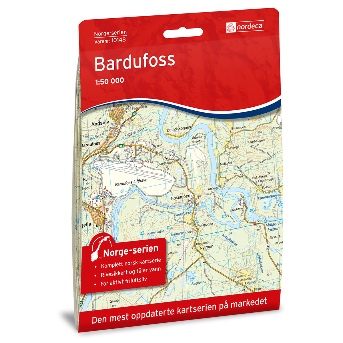
Bardufoss Norway Series Hiking Map
Detailed hiking map of Bardufoss in the Norway Series – the classic red hiking maps that have been a faithful companion in Norwegian backpacks for generations. The maps are systematically divided with overlaps to adjacent maps, ensuring good continuity as you move through the terrain.
-
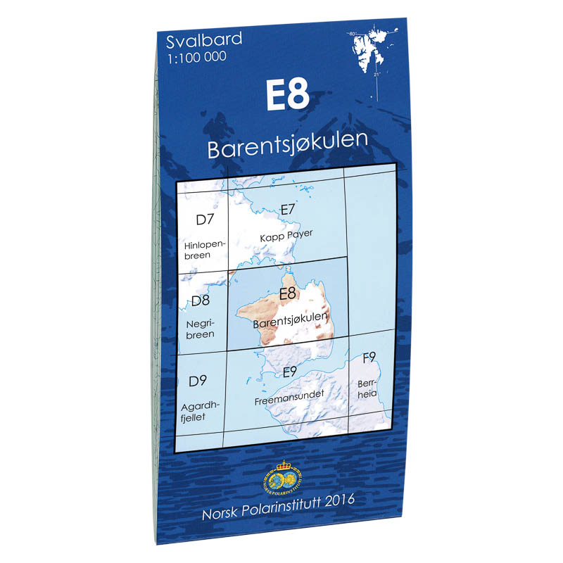
Barentsjøkulen E8
Map in scale 1:100000 from the Norwegian Polar Institute.
-
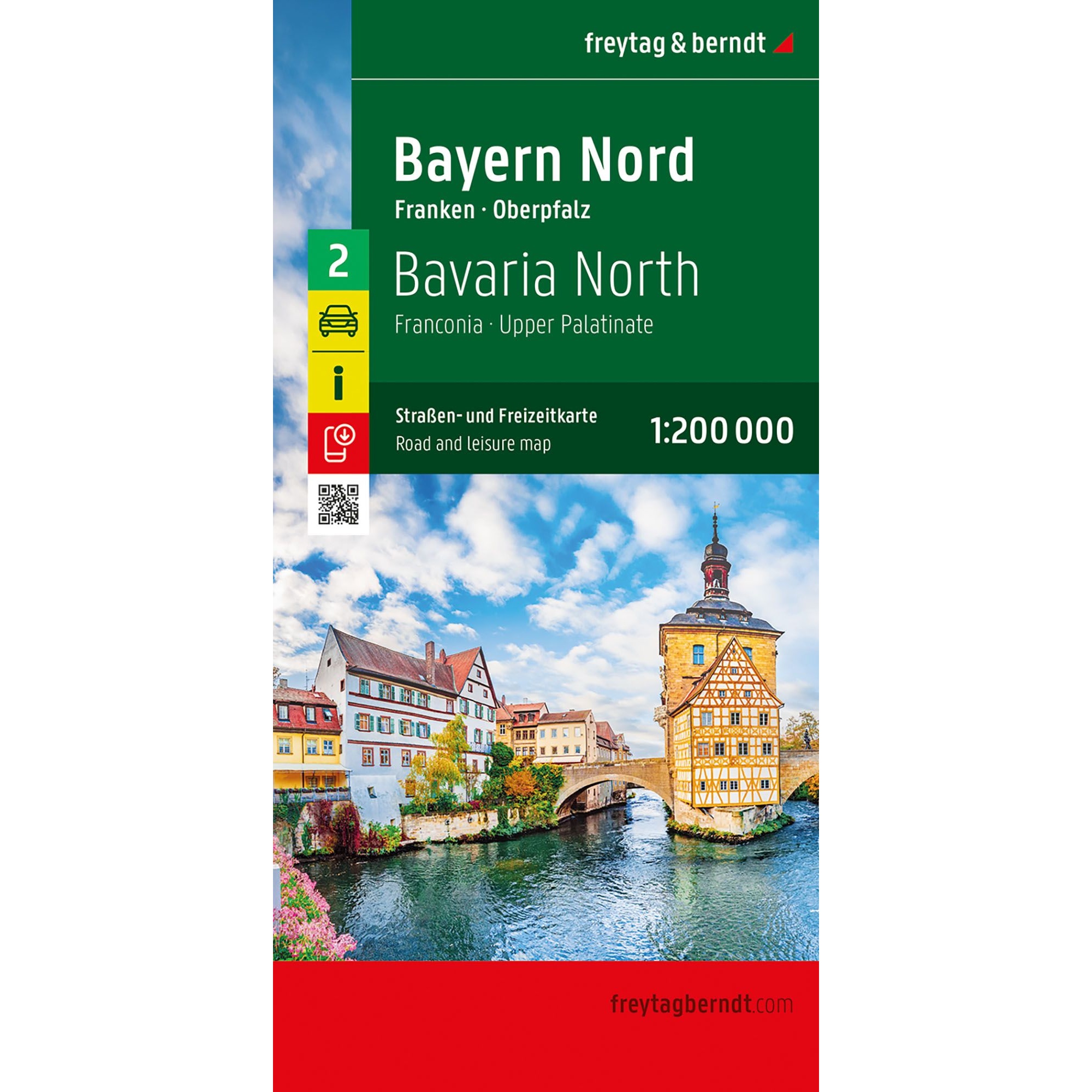
Bavaria North – roadmap (multilingual)
Detailed road map of Northern Bavaria with Franconia and Upper Palatinate. A practical map for car and motorhome travel with tourist information and campsites.
-
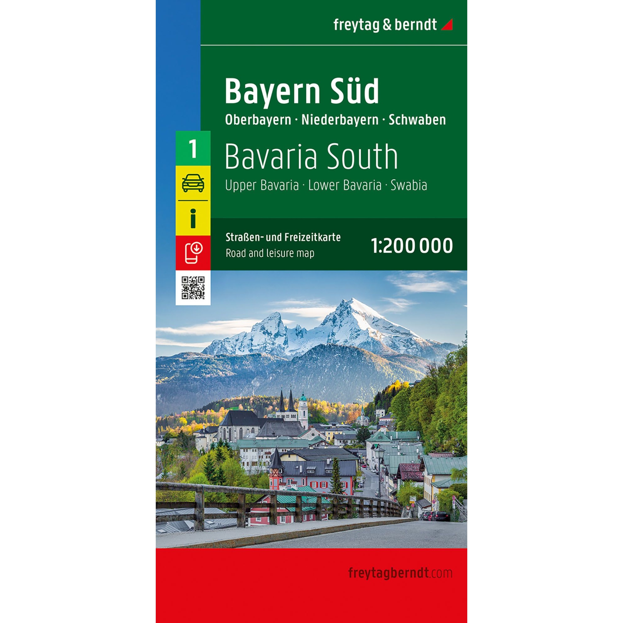
Bavaria South – roadmap (multilingual)
Detailed road map of Southern Bavaria with Upper Bavaria, Lower Bavaria and Swabia. A handy map for car and motorhome travel with tourist information and campsites.
-
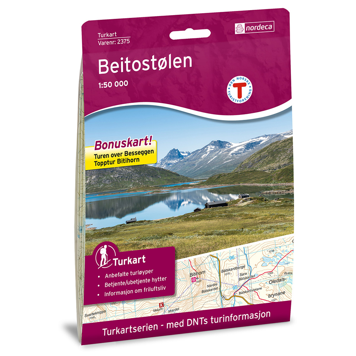
Beitostølen DNT Hiking Map
Detailed hiking map of Beitostølen, developed by Nordic Maps (formerly Nordeca) in collaboration with the Norwegian Trekking Association. For decades, DNT Hiking Maps have been the first choice for hikers, known for their excellent readability, thoughtful design, and practical information tailored for active outdoor life.
-
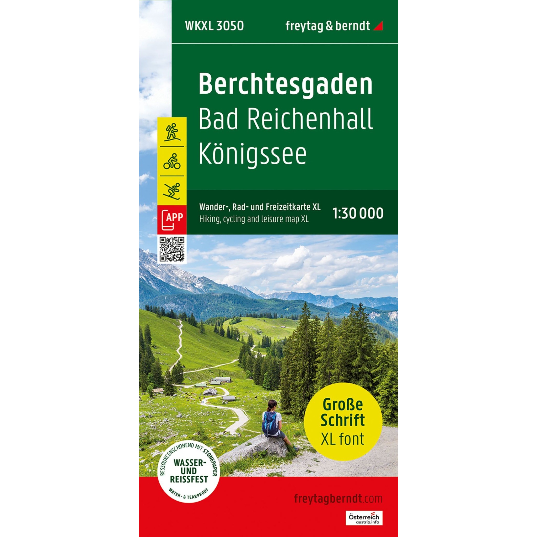
Berchtesgaden – road and leisure map (multilingual)
This road map of Berchtesgaden is a practical tool for travelers who want a clear and easy-to-read map for driving, cycling and planning in the Berchtesgadener Alpen. The map covers both central and more remote areas, and the extra-large font makes it particularly suitable for use on the road. The 1:30,000 scale provides a high…
-
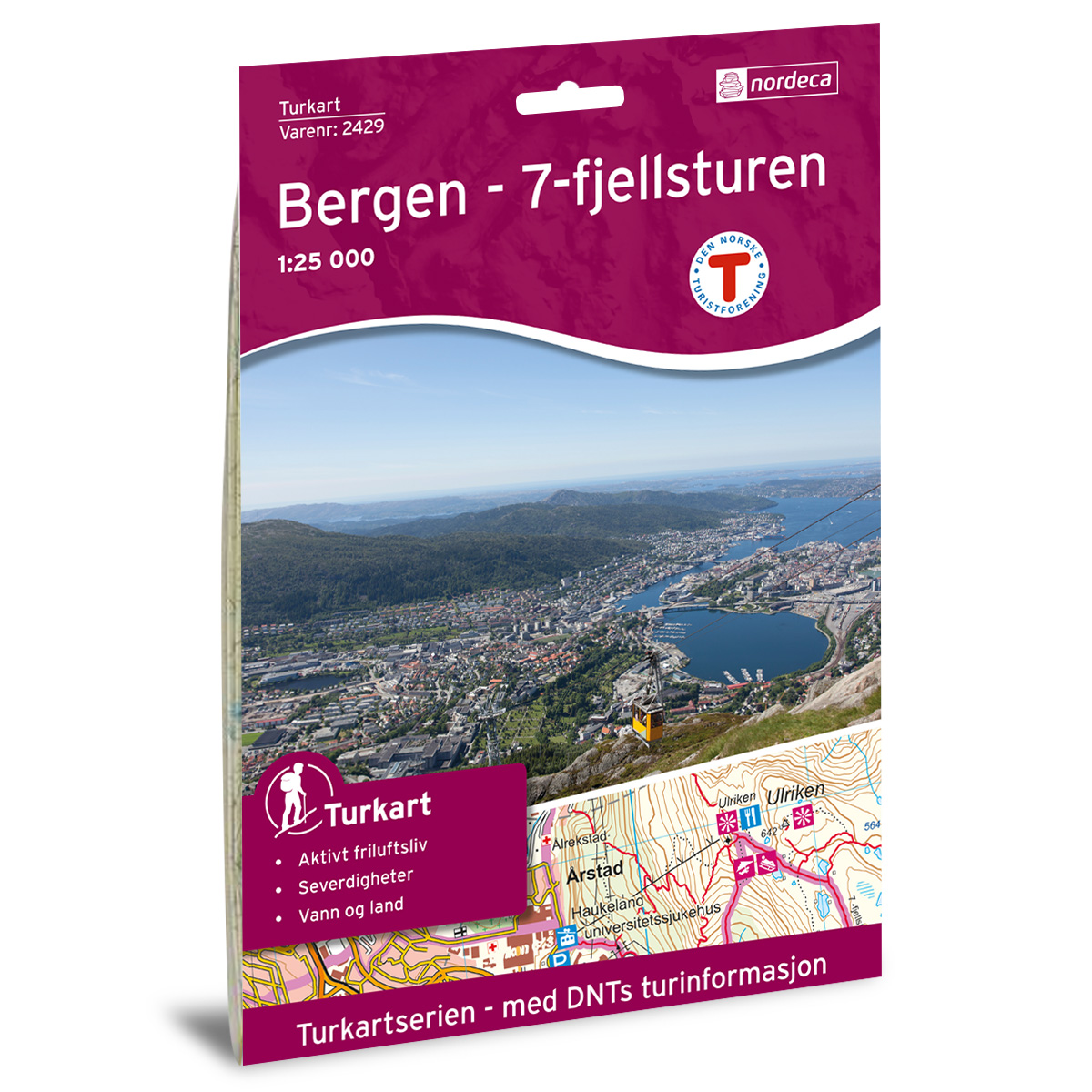
Bergen – 7-Mountain Hike DNT Hiking Map
Detailed hiking map of the Bergen – 7-Mountain Hike, developed by Nordic Maps (formerly Nordeca) in collaboration with the Norwegian Trekking Association. DNT Hiking Maps have been the preferred choice for hikers for decades, known for their excellent readability, thoughtful design, and practical information tailored for active outdoor life.
-
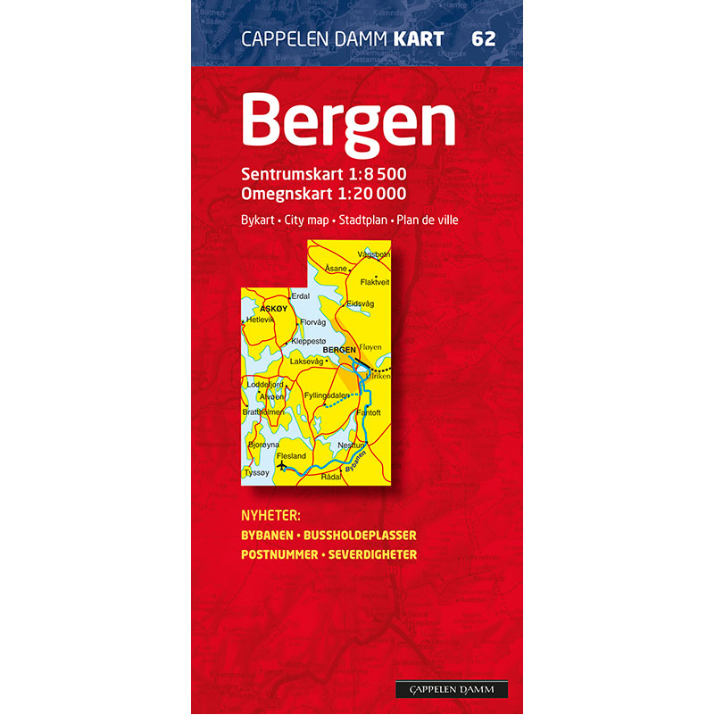
Bergen city map
Detailed city map of Bergen with city center and surrounding areas. Includes road names, house numbers, light rail, cycle paths and sights – perfect for drivers, cyclists and tourists alike.
-
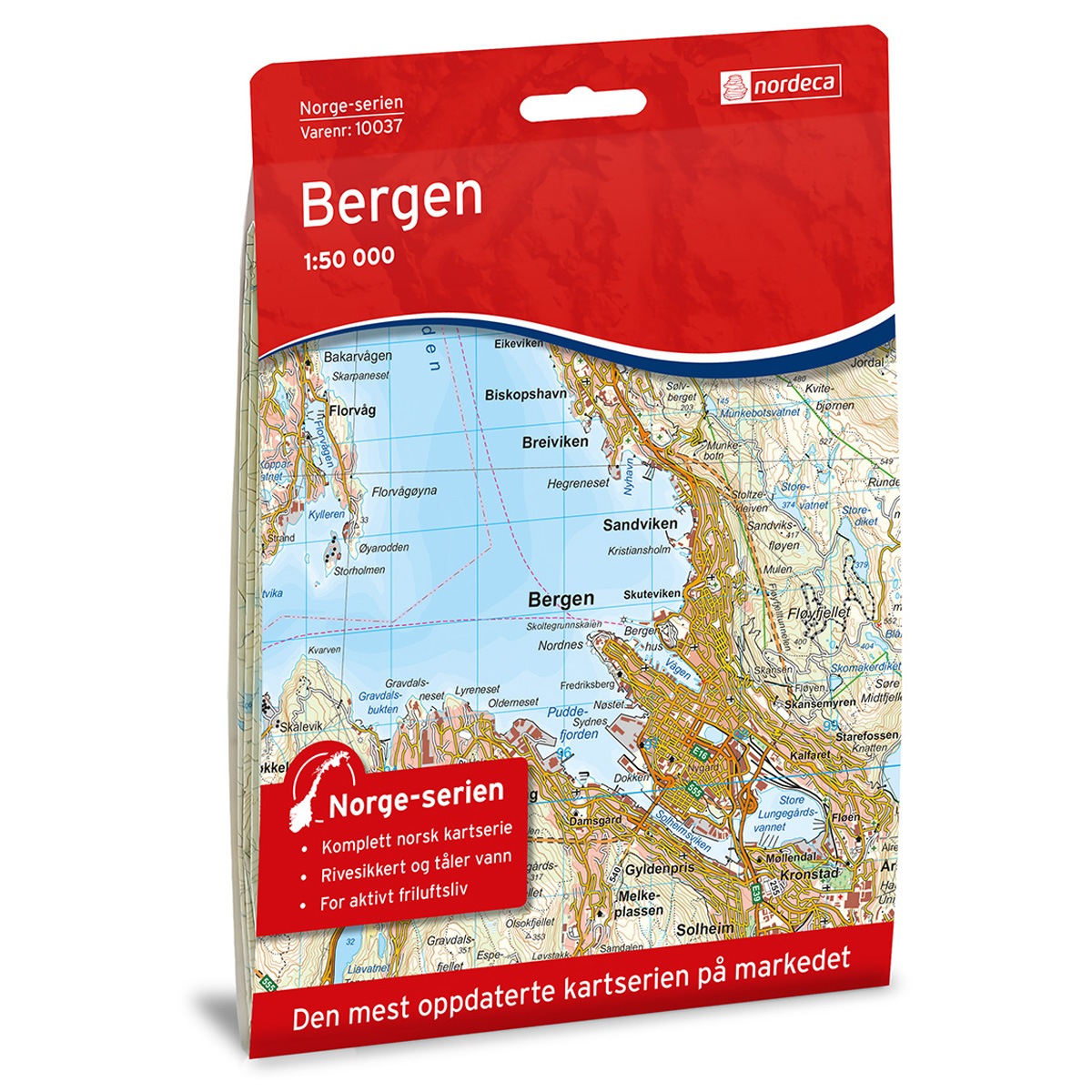
Bergen Norway Series Hiking Map
Detailed hiking map of Bergen in the Norway Series – the classic red hiking maps that have been a faithful companion in Norwegian backpacks for generations. The maps are systematically divided with overlaps with adjacent maps, providing seamless continuity as you move through the terrain.
-

Berkåk Norway Series Hiking Map
Detailed hiking map of Berkåk in the Norway Series – the classic red hiking maps that have been a trusted companion in Norwegian backpacks for generations. The maps are systematically divided with overlaps to adjacent maps, ensuring good continuity as you traverse the terrain.
-
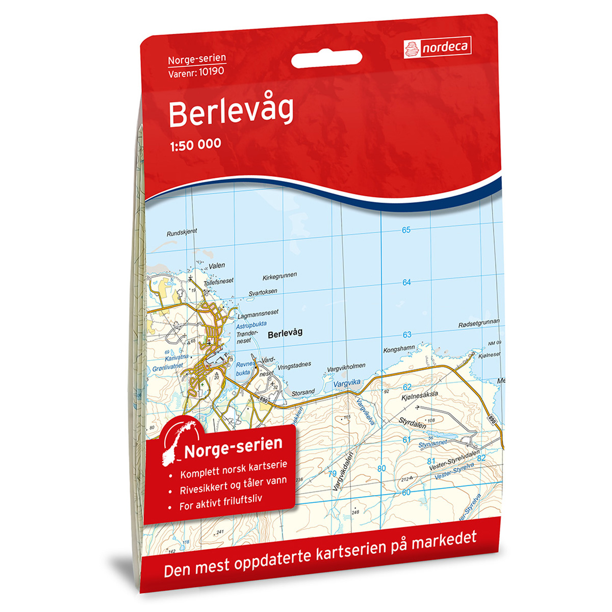
Berlevåg Norway Series Hiking Map
Detailed hiking map of Berlevåg in the Norway Series – the classic red hiking maps that have been a faithful companion in Norwegian backpacks for generations. The maps are systematically divided with overlaps against adjacent maps, providing excellent continuity as you move through the terrain.
-
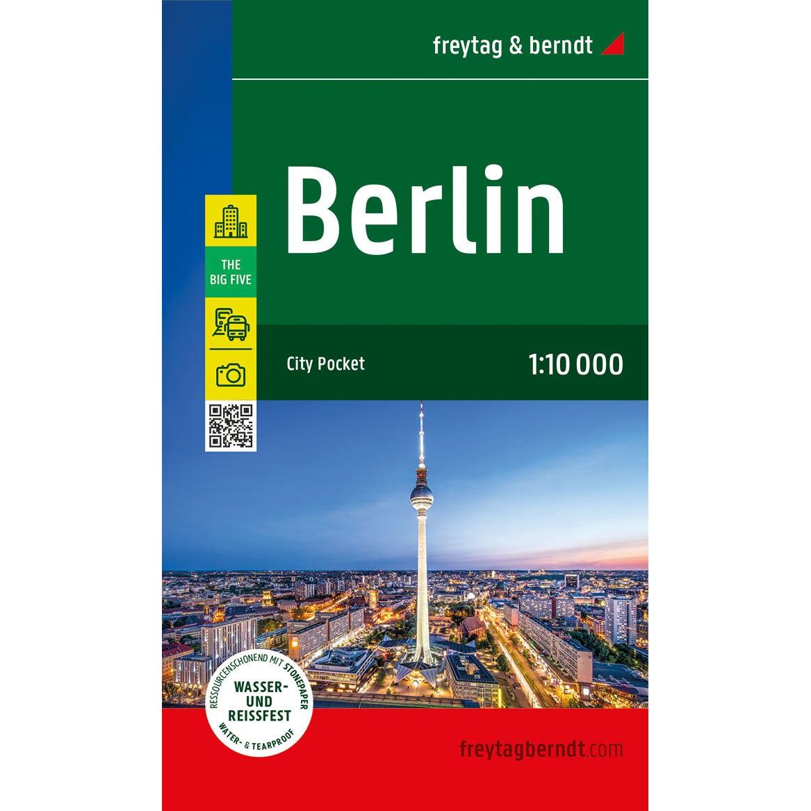
Berlin – road map (multilingual)
Detailed road map of Berlin city center in compact format, with an overview of streets, sights and important areas. Suitable for orientation in the city. The map focuses on the inner city and is printed on durable material that can withstand use in all kinds of weather. The 1:10,000 scale provides a high level of…
-
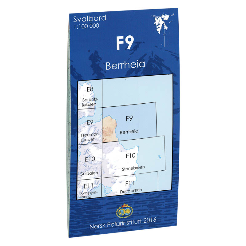
Berrheia F9
Map in scale 1:100000 from the Norwegian Polar Institute.
-
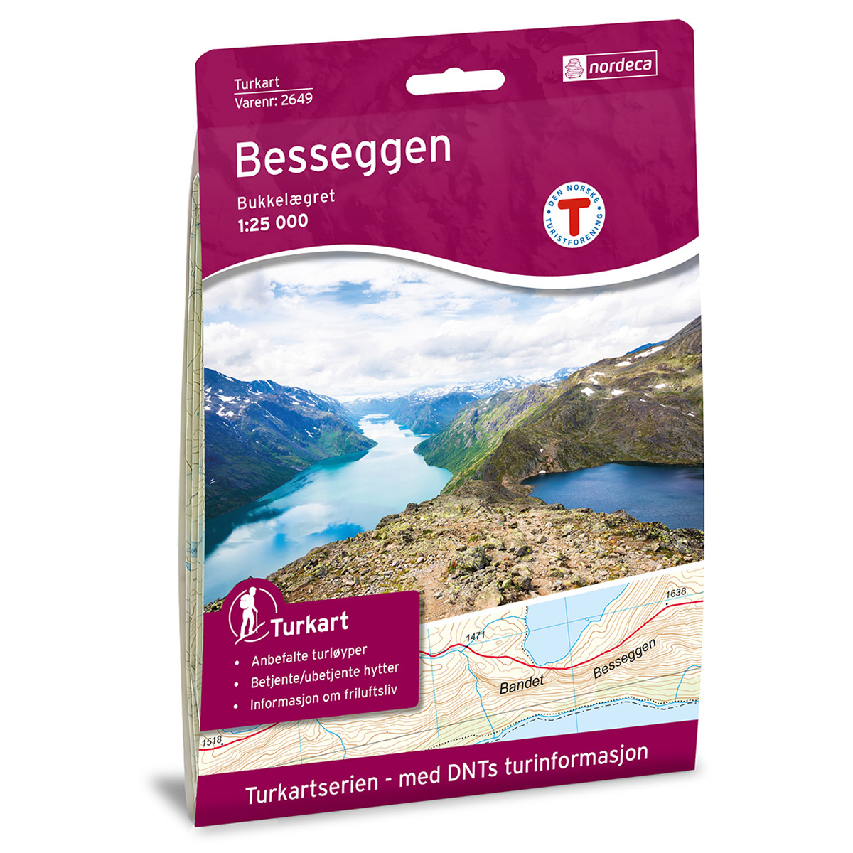
Besseggen DNT Hiking Map
Detailed hiking map of Besseggen, developed by Nordic Maps (formerly Nordeca) in collaboration with the Norwegian Trekking Association. DNT Hiking Maps have been the preferred choice for hikers for decades, known for their excellent readability, thoughtful design, and practical information tailored for active outdoor life.
-
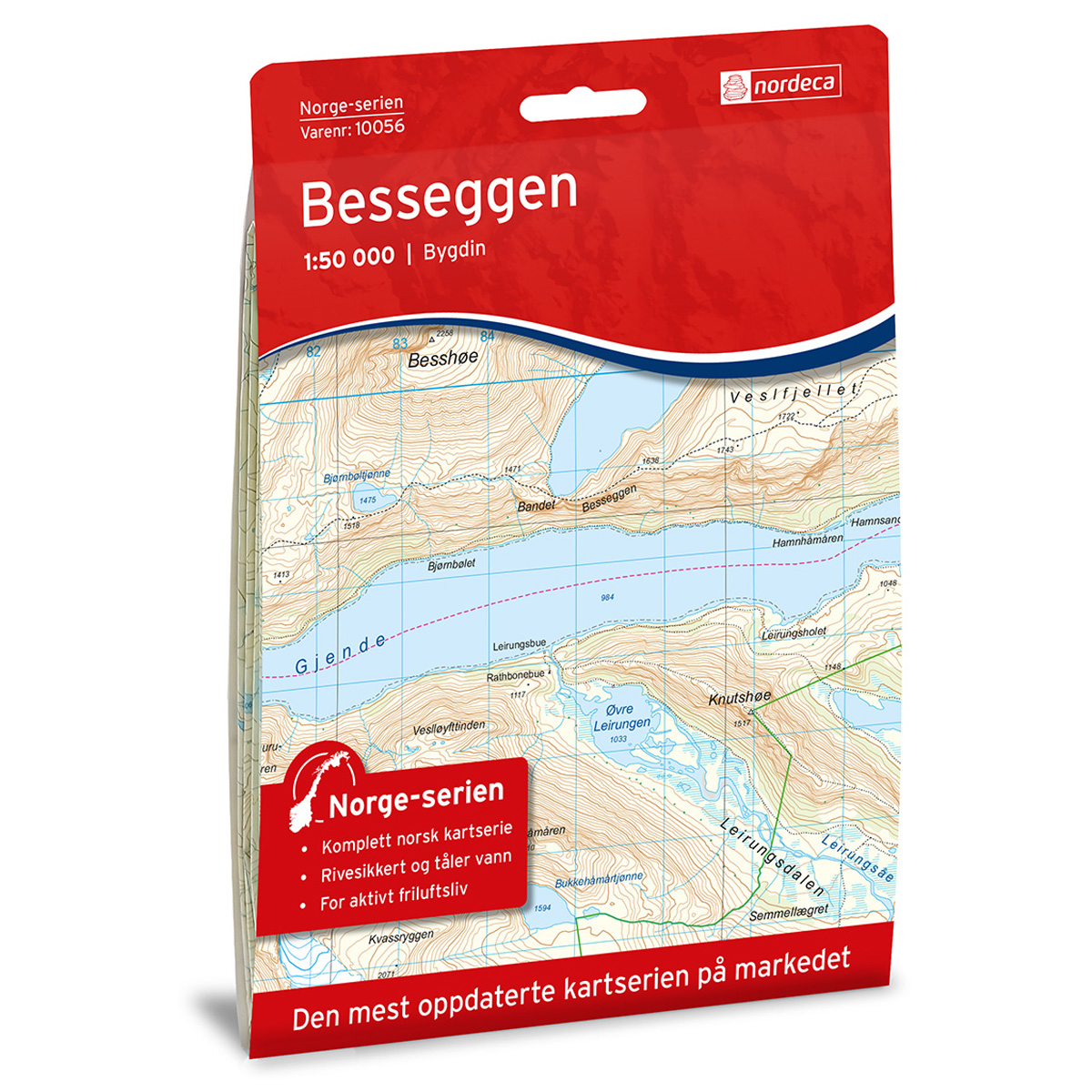
Besseggen Norway Series Hiking Map
Detailed hiking map of Besseggen in the Norway Series – the classic red hiking maps that have been a faithful companion in Norwegian backpacks for generations. The maps are systematically divided with overlaps with adjacent maps, providing seamless continuity as you move through the terrain.
-
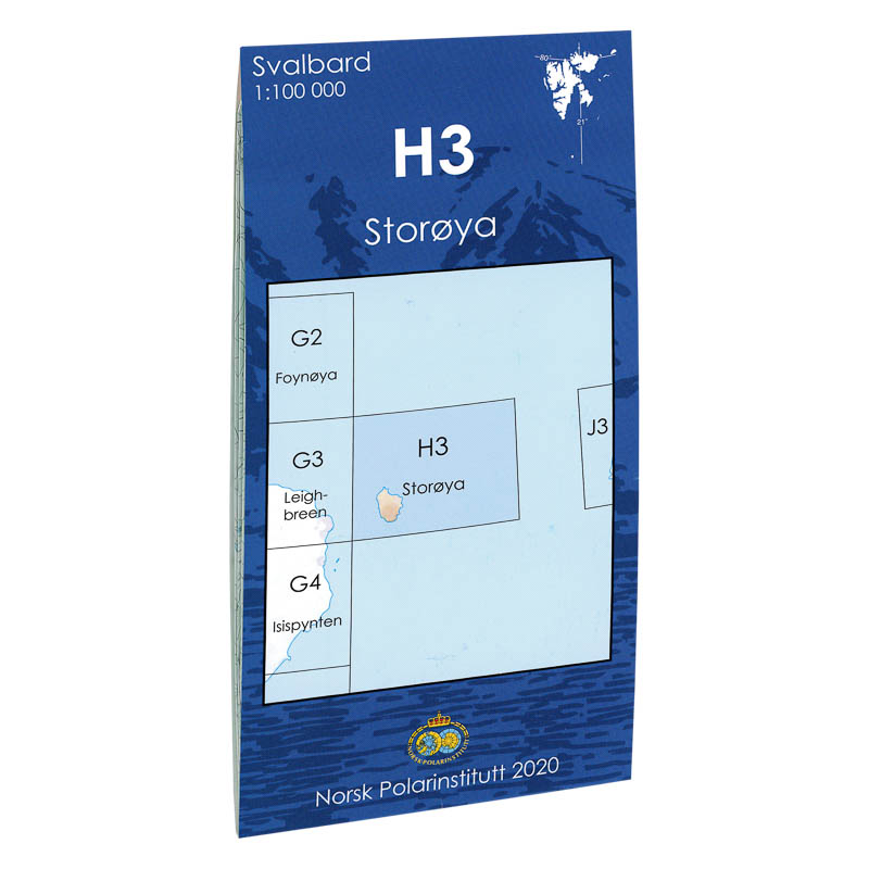
Big Island H3
Map in scale 1:100000 from the Norwegian Polar Institute.
-
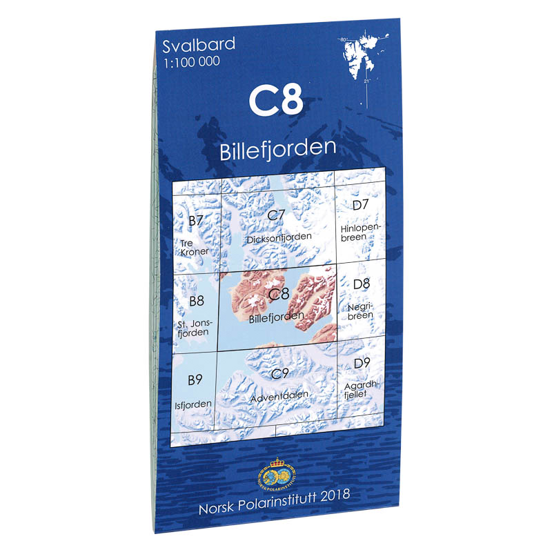
Billefjorden C8
Map in scale 1:100000 from the Norwegian Polar Institute.