-
Denmark with Greenland and Faroe Islands – roadmap (multilingual)
Detailed road map of Denmark with Greenland and the Faroe Islands at a scale of 1:400,000, suitable for road trips, motorhomes and motorcycles. The map provides a good overview of the entire country and also includes Greenland and the Faroe Islands as overview insets.
-
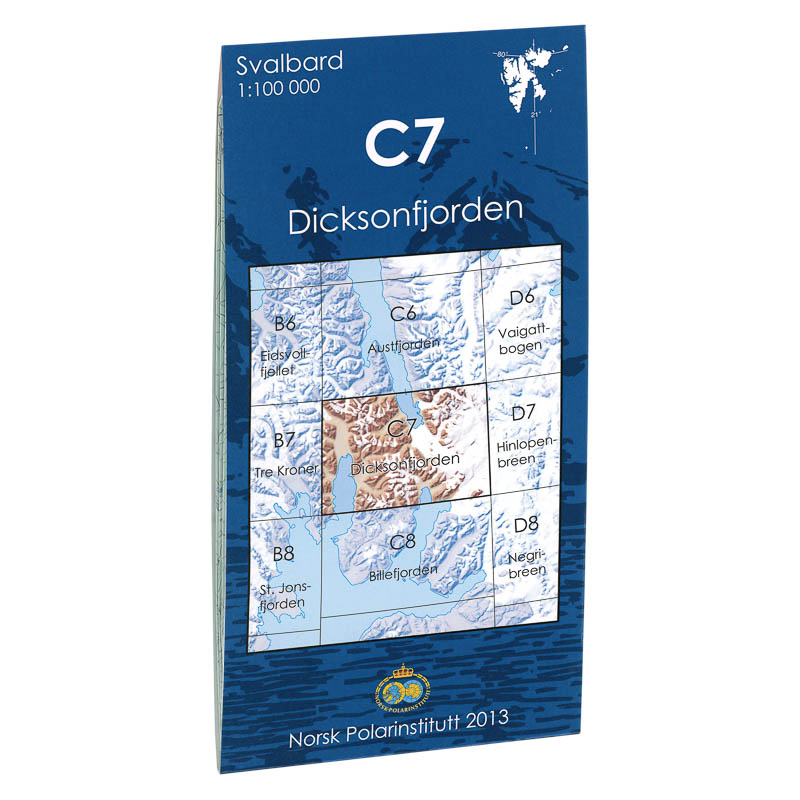
Dicksonfjorden C7
Map in scale 1:100000 from the Norwegian Polar Institute.
-

Dividalen Norway Series Hiking Map
Detailed hiking map of Dividalen in the Norway Series – the classic red hiking maps that have been a faithful companion in Norwegian backpacks for generations. The maps are systematically divided with overlaps with adjacent maps, providing seamless continuity as you move through the terrain.
-
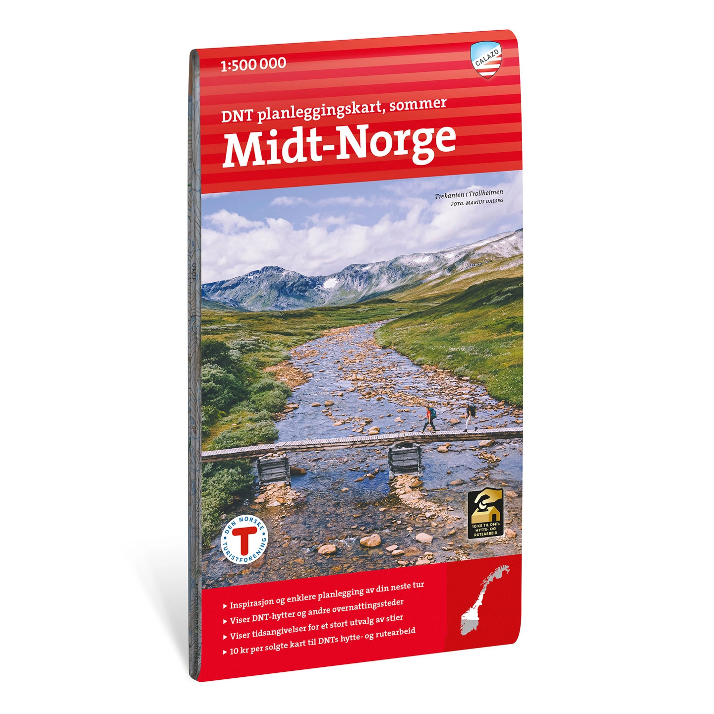
DNT planning map Central Norway
Overview map for planning hikes in Central Norway at a scale of 1:500 000. The map shows DNT cabins and trails and is suitable as a basis for route planning.
-
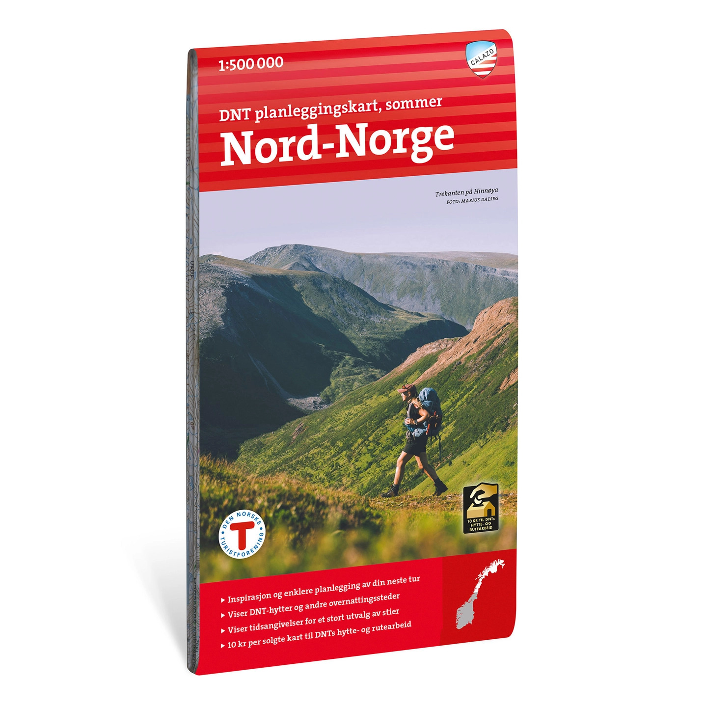
DNT planning map Northern Norway
Overview map for planning hikes in Northern Norway at a scale of 1:500 000. The map shows DNT cabins and trails and is suitable as a basis for route planning.
-
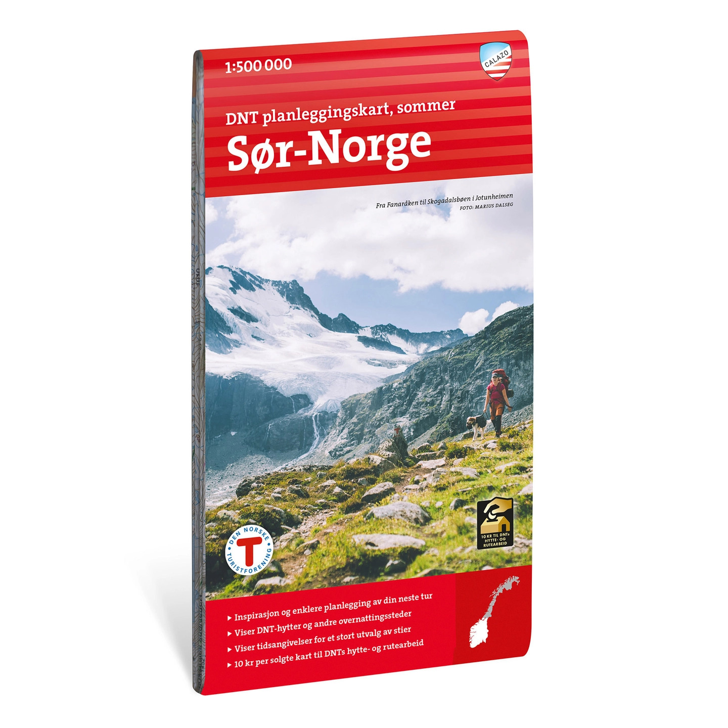
DNT planning map Southern Norway
Overview map for planning hikes in southern Norway at a scale of 1:500,000. The map shows DNT cabins and trails and is suitable as a basis for route planning.
-
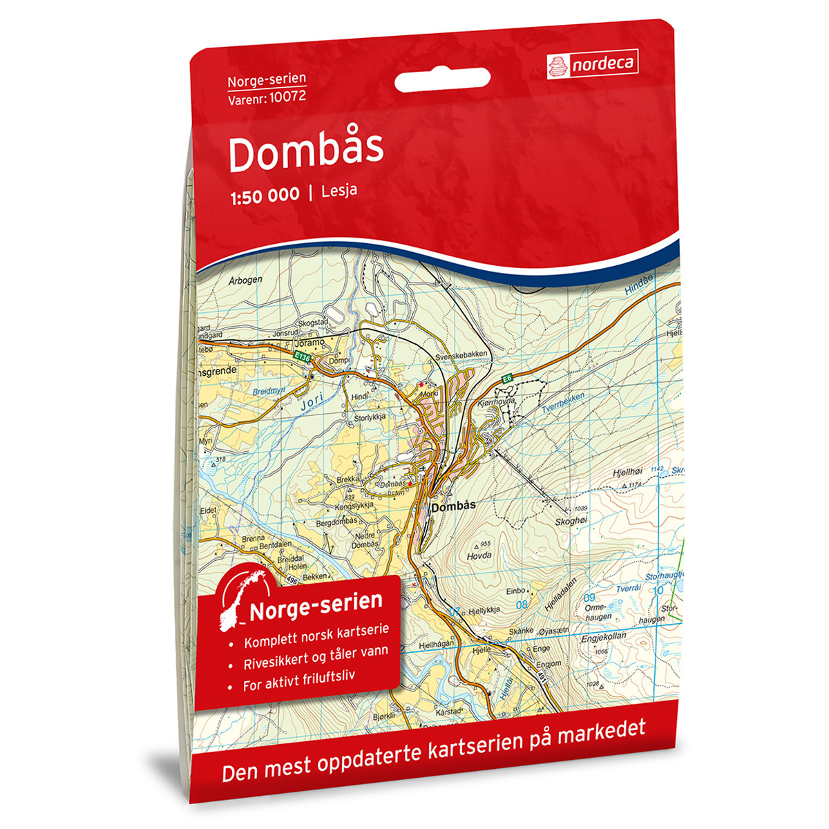
Dombås Norway Series Hiking Map
Detailed hiking map of Dombås in the Norway Series – the classic red hiking maps that have been a faithful companion in Norwegian backpacks for generations. The maps are systematically divided with overlaps to adjacent maps, ensuring good continuity as you move through the terrain.
-
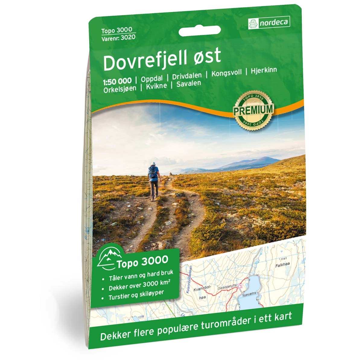
Dovrefjell East Topo 3000 Hiking Map
Detailed topographic hiking map of Dovrefjell East Topo 3000 Hiking Map, from Nordic Maps (formerly Nordeca). Topo 3000 is a popular map series for mountain hikes and longer treks in varied terrain.
-

Dovrefjell Snøhetta DNT Hiking Map
Detailed hiking map of Dovrefjell Snøhetta, developed by Nordic Maps (formerly Nordeca) in collaboration with the Norwegian Trekking Association. DNT Hiking Maps have been the preferred choice for hikers for decades, known for their excellent readability, thoughtful design, and practical information tailored for active outdoor life.
-
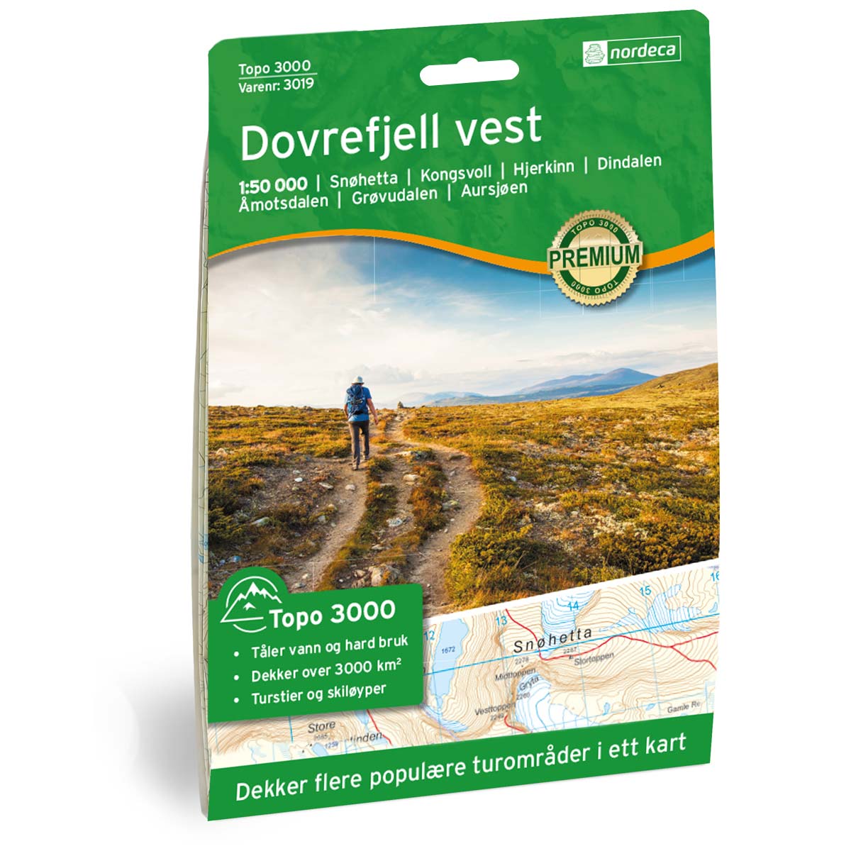
Dovrefjell West Topo 3000 Hiking Map
Detailed topographic hiking map of Dovrefjell West Topo 3000 Hiking Map, from Nordic Maps (formerly Nordeca). Topo 3000 is a popular map series for mountain hikes and longer trips in varied terrain.
-
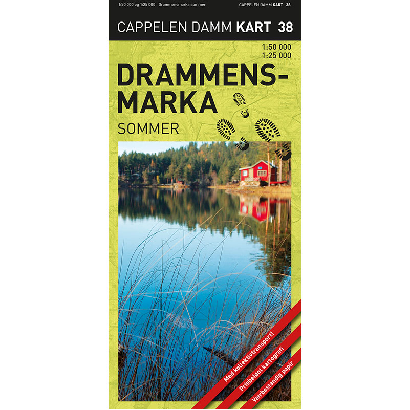
Drammensmarka summer hiking map
Detailed summer hiking map of Drammensmarka and Finnemarka. Shows marked trails, swimming areas, restaurants and public transport – printed on weatherproof paper.
-
Drammensmarka Topo 3000 Hiking Map
Detailed topographical hiking map of Drammensmarka Topo 3000 Hiking Map, from Nordic Maps (formerly Nordeca). Topo 3000 is a popular map series for mountain hikes and longer trips in varied terrain.
-
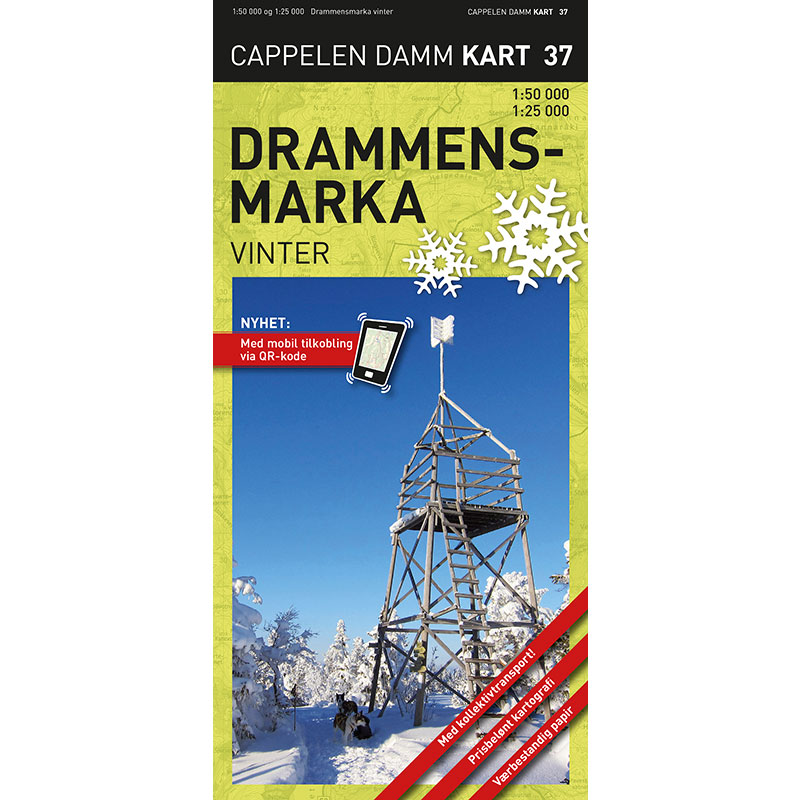
Drammensmarka winter hiking map
Detailed winter hiking map and ski map of Drammensmarka and Finnemarka. Shows ski trails, restaurants, parking and public transport – printed on weatherproof paper.
-
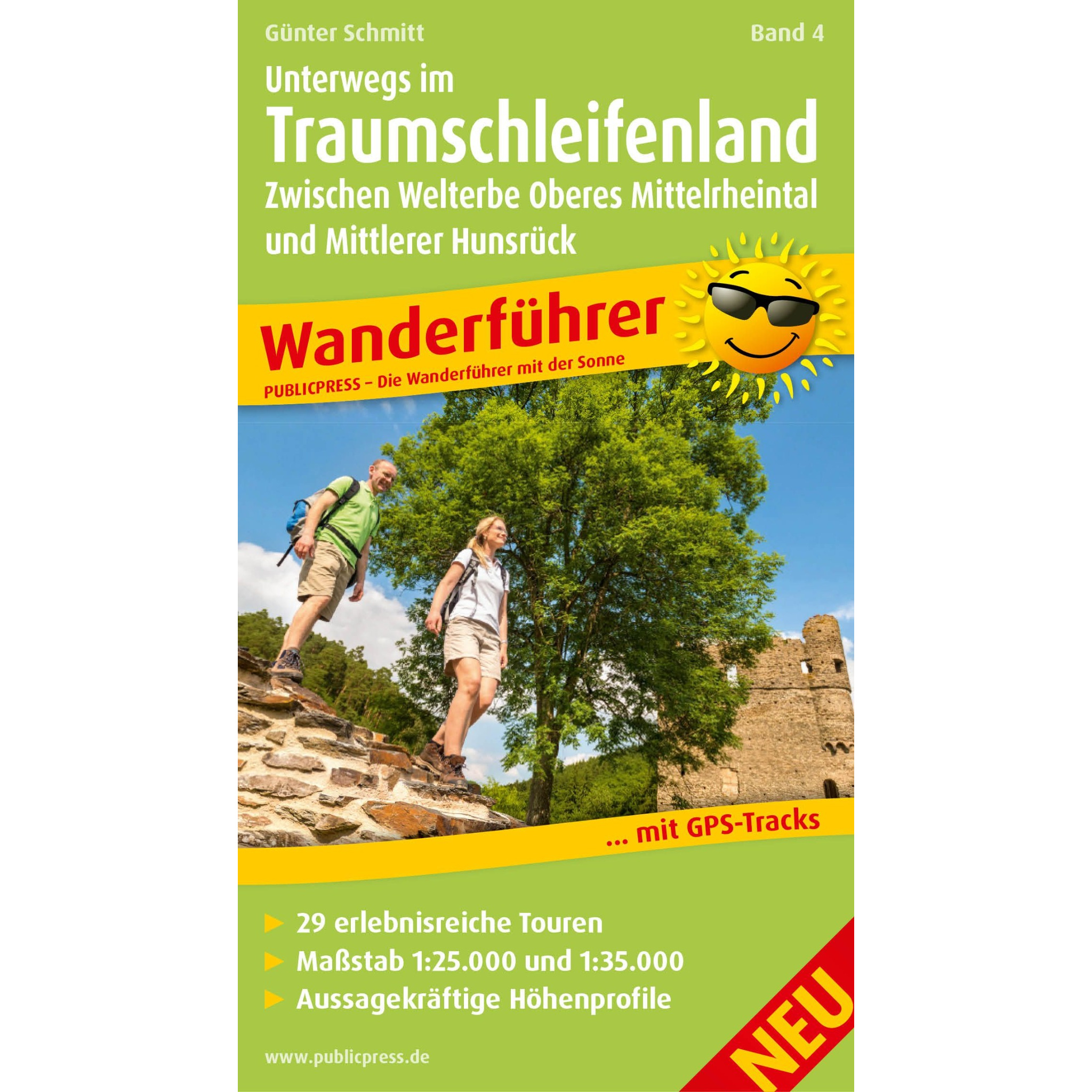
Dream loops – vandreguide
Hiking guide with 29 adventurous circular trails in Traumschleifenland. Includes detailed maps, elevation profiles and GPS tracks for hikes between Upper Mittelrheintal and Midtre Hunsrück.
-

Dublin – roadmap (multilingual)
Detailed road map of Dublin city center in a compact format, with an overview of streets and key areas. Suitable for orientation in the city. The map is printed on durable material that can withstand use in all kinds of weather. A scale of 1:10,000 provides a high level of detail.
-
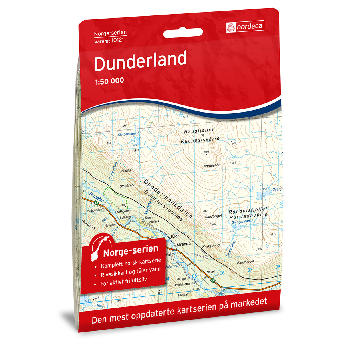
Dunderland Norway Series Hiking Map
Detailed hiking map of Dunderland in the Norway Series – the classic red hiking maps that have been a faithful companion in Norwegian backpacks for generations. The maps are systematically divided with overlaps against adjacent maps, providing seamless continuity as you move through the terrain.
-
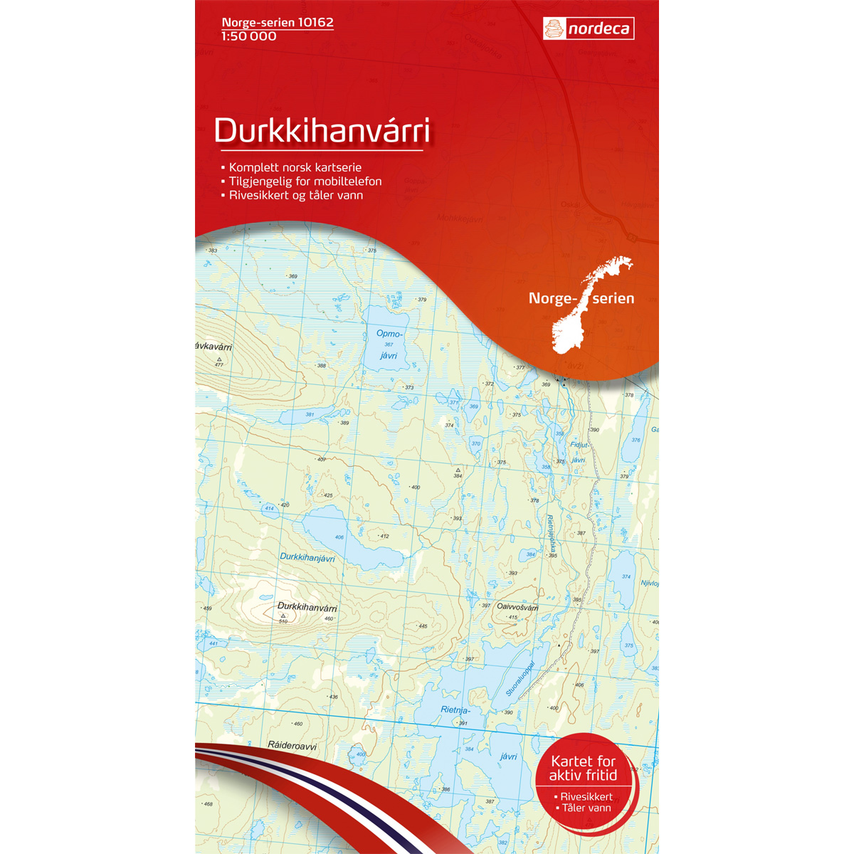
Durkkihanvarri Norway Series Hiking Map
Detailed hiking map of Durkkihanvarri in the Norway Series – the classic red hiking maps that have been a trusted companion in Norwegian backpacks for several generations. The maps are systematically divided with overlap to adjacent maps, providing good continuity as you move through the terrain.
-
Duvefjorden F3
Map in scale 1:100000 from the Norwegian Polar Institute.
-

Eastern Europe – roadmap (multilingual)
Clear road map of Eastern Europe with clear road network, distances and city maps. Well suited for traveling and planning over long distances.
-
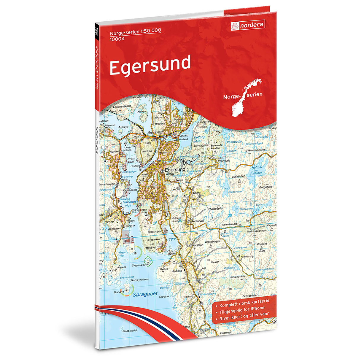
Egersund Norway Series Hiking Map
Detailed hiking map of Egersund in the Norway Series – the classic red hiking maps that have been a faithful companion in Norwegian backpacks for generations. The maps are systematically divided with overlaps for adjacent maps, providing excellent continuity as you move through the terrain.