-
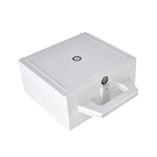
Davis Sextant Carrying Case – storage case for Davis sextant
Storage box for Davis Mark 3, Mark 15 and Mark 25 sextants. Protects the sextant during transportation and storage.
-

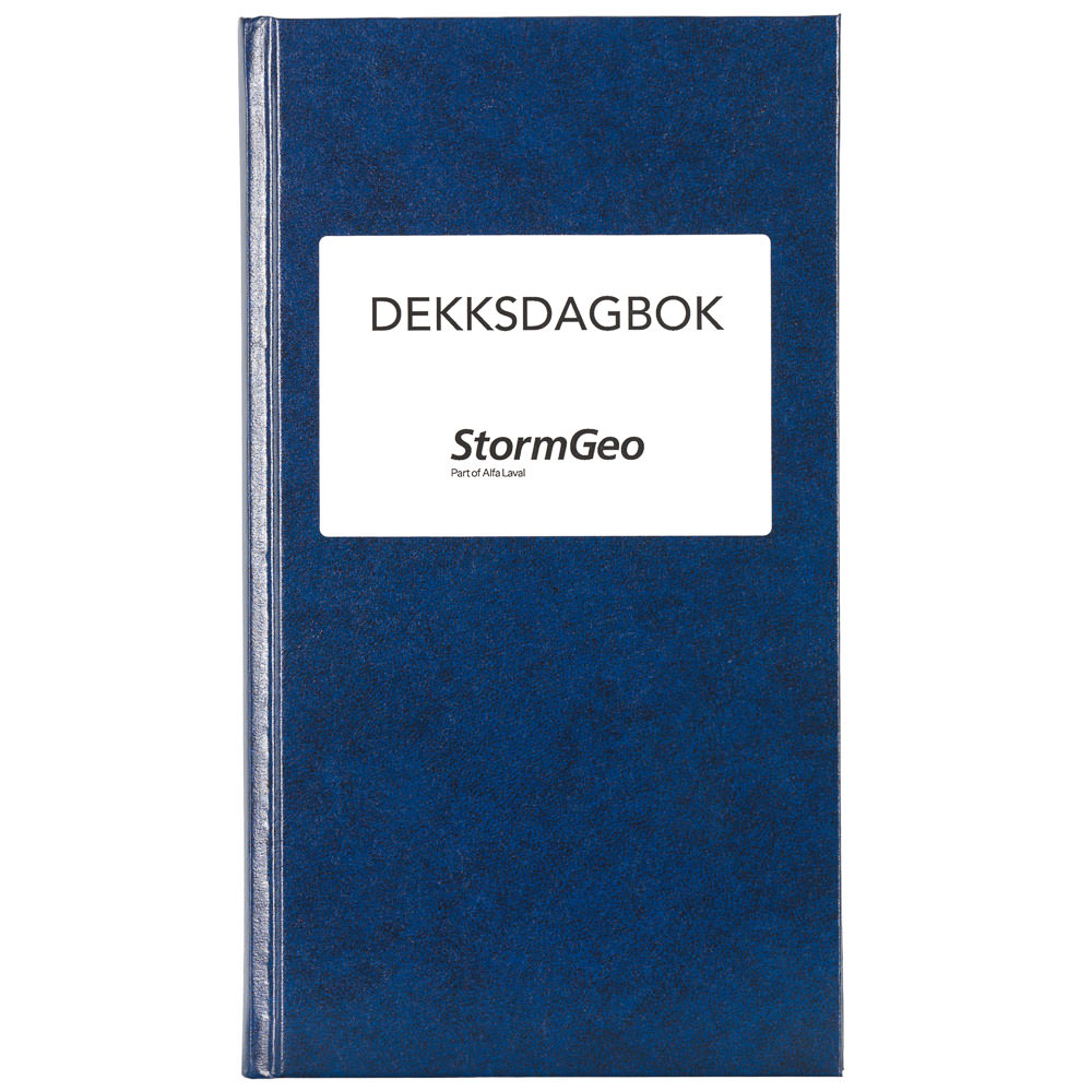
Deck Log Book NIS (A3)
Deck logbook for NIS-registered vessels. For recording voyages, courses, and weather conditions.
-
Deck Logbook Domestic – StormGeo (Nautisk Forlag)
Deck logbook from StormGeo (formerly Nautisk Forlag) for domestic trade. A5 format, Norwegian text. Standard logbook for recording voyages, courses, and observations.
-
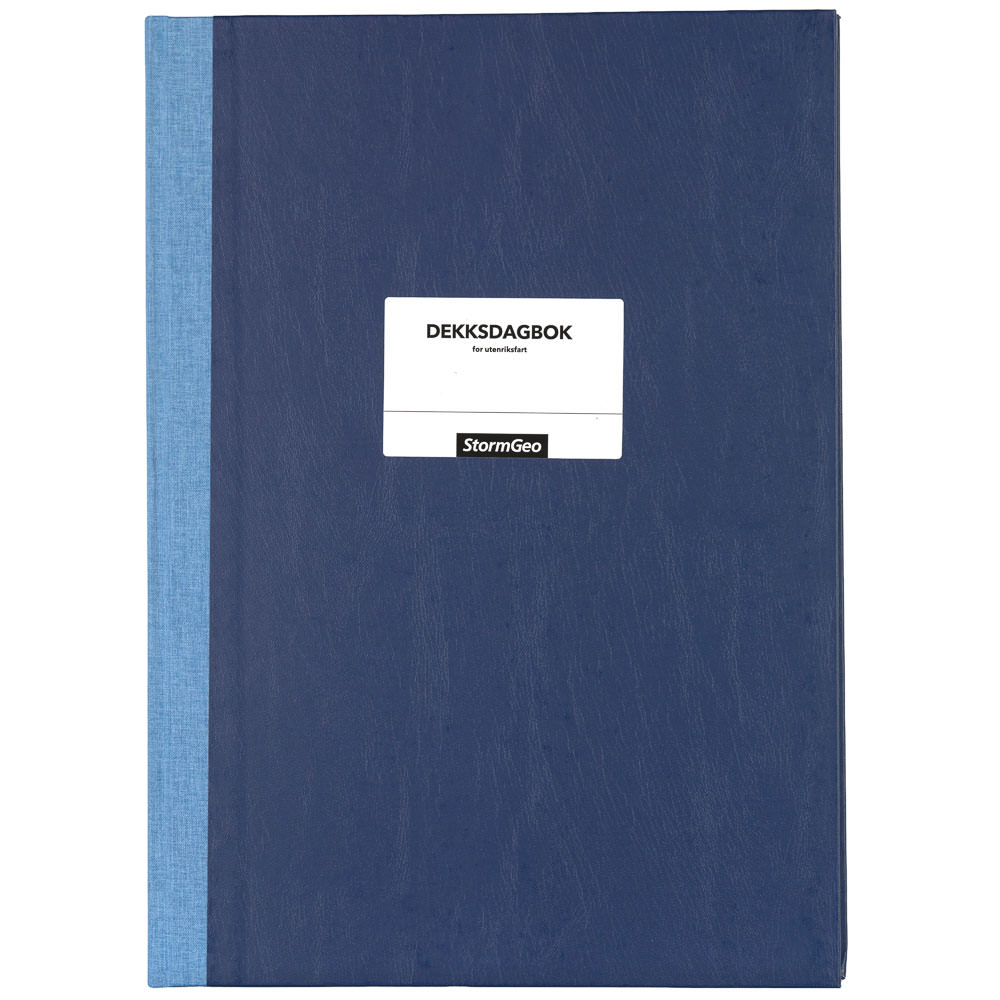
Deck Logbook International Trade Norwegian
Deck logbook for ships in international trade. A3 format, Norwegian text. Used for recording navigation and operational events in accordance with current regulations.
-
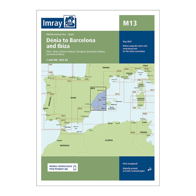
Dénia to Barcelona and Ibiza – Imray M13
Overview map covering the coastline from Dénia to Barcelona and the connection to Ibiza. Suitable for route planning and general navigation in the Western Mediterranean.
-
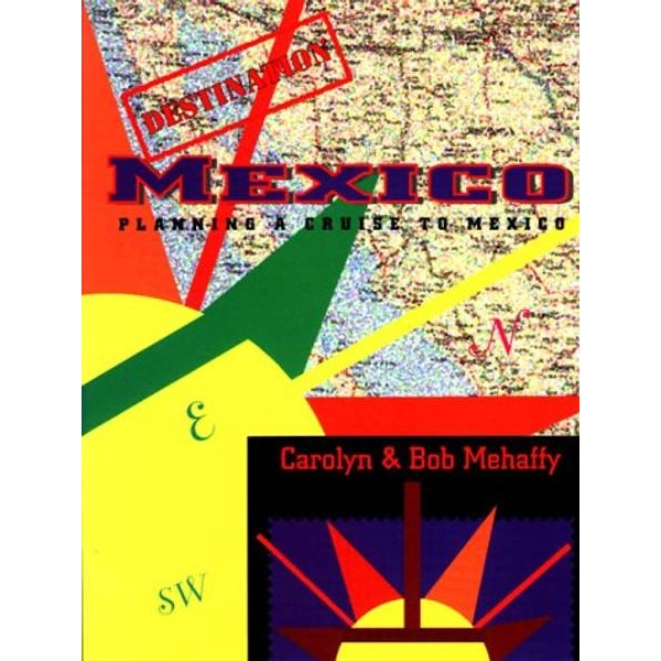
Destination Mexico – Planning a Cruise to Mexico
Practical and easy-to-read sailing guide for planning cruises and sailing to Mexico – a useful supplement to nautical charts and pilot books.
-
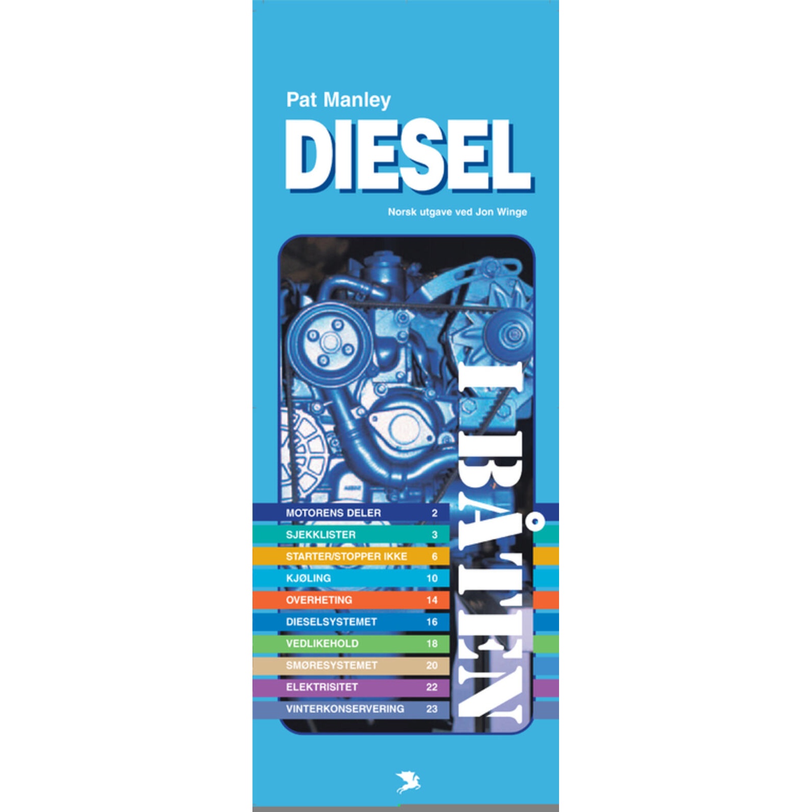
Diesel in the boat
Practical handbook explaining the operation, maintenance and troubleshooting of diesel engines in leisure boats.
-
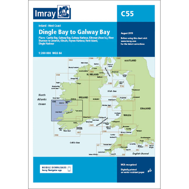
Dingle Bay to Galway Bay – Imray C55
Overview map from Imray covering the stretch from Dingle Bay to Galway Bay along the west coast of Ireland.
-
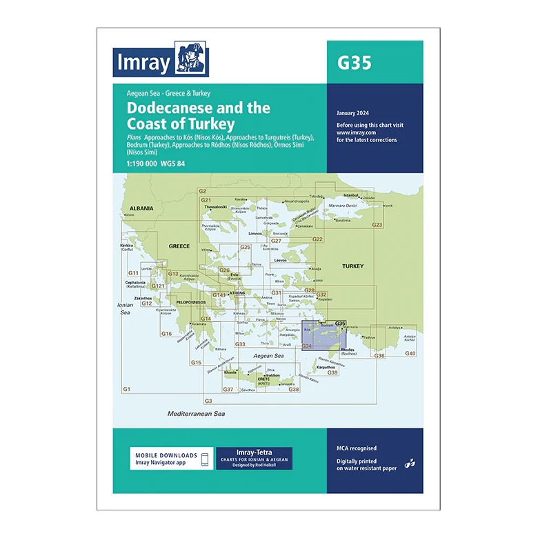
Dodecanese and the Coast of Turkey – Imray G35
Overview map covering the Dodecanese and the nearby Turkish coast. Suitable for route planning and overall navigation in the Eastern Aegean.
-
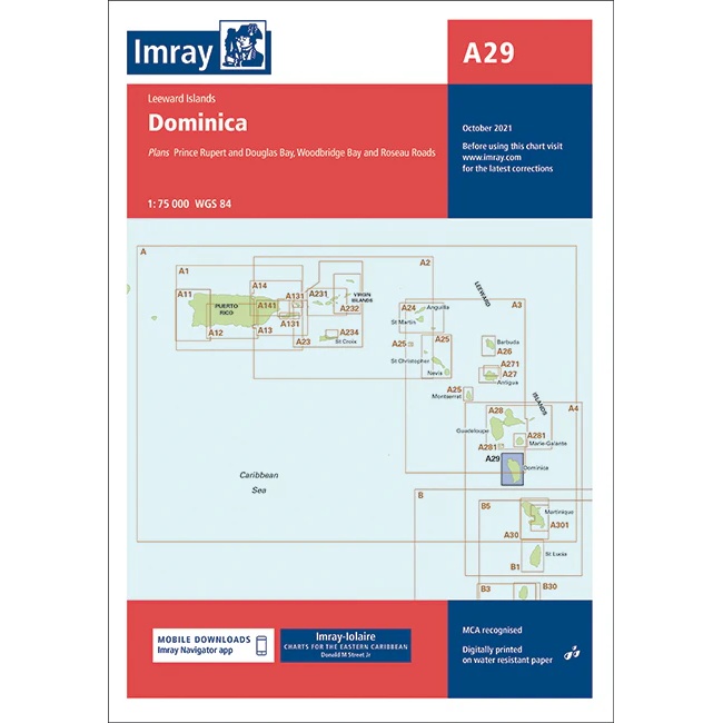
Dominica – Imray A29
Detailed boating map from Imray for sailing and navigation around Dominica.
-
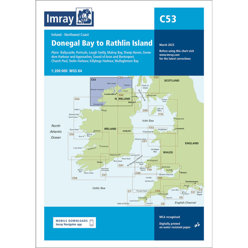
Donegal Bay to Rathlin Island – Imray C53
Overview map from Imray covering the stretch from Donegal Bay to Rathlin Island on the northwest coast of Ireland.
-
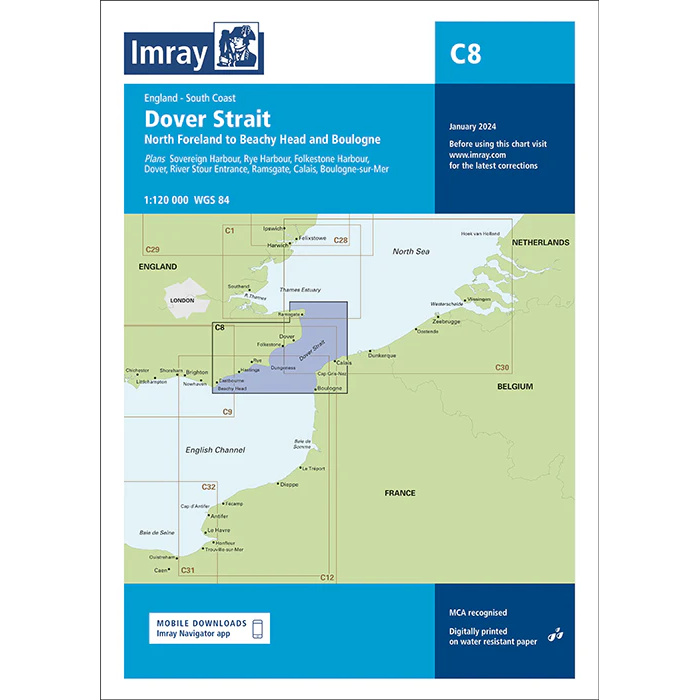
Dover Strait – Imray C8
Detailed boating map from Imray covering the Dover Strait between England and France.
-
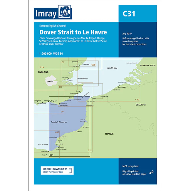
Dover Strait to Le Havre – Imray C31
Detailed Imray boating map for the stretch from Doverstredet to Le Havre in the English Channel.
-
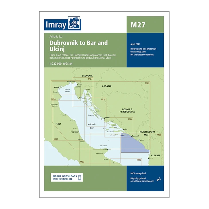
Dubrovnik to Bar and Ulcinj – Imray M27
Overview map covering the coastline from Dubrovnik to Bar and Ulcinj. Suitable for route planning and overall navigation in the southern Adriatic.
-
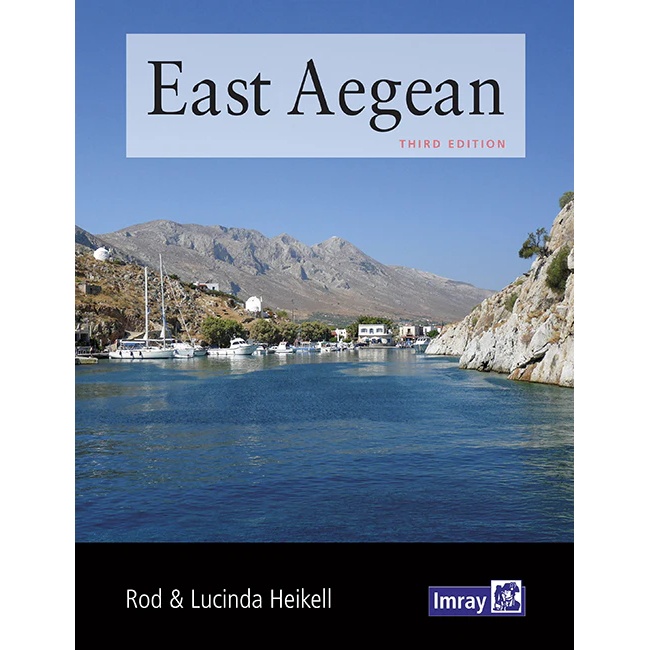
East Aegean
Pilot book for sailing in the eastern Aegean, with detailed descriptions of harbors, anchorages and sailing conditions along Greek islands near Turkey.
-
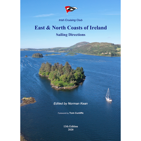
East and North Coast of Ireland
Detailed pilot book for sailing along the east and north coasts of Ireland, with comprehensive sailing directions, port descriptions and anchorages.
-

East Coast Pilot
East Coast Pilot is a detailed pilot book for sailing along the east coast of England, from Great Yarmouth to Ramsgate. The book provides thorough sailing instructions, descriptions of harbors and anchorages as well as information on tides, shallows and local conditions in one of the UK’s most challenging waters. An essential reference book for…
-
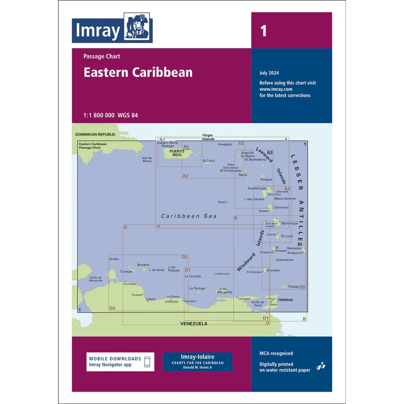
Eastern Caribbean – Imray 1
Overview and passage charts from Imray for voyage planning in the Eastern Caribbean.
-

Eastern English Channel – Imray C12
Overview map from Imray for sea crossings in the eastern part of the English Channel.
-
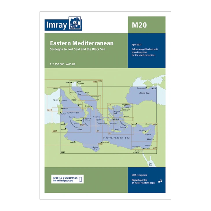
Eastern Mediterranean – Imray M20
Passage chart covering the eastern Mediterranean from Sardinia to Port Said and on to the Black Sea. Suitable for long-distance route planning and general navigation.