-
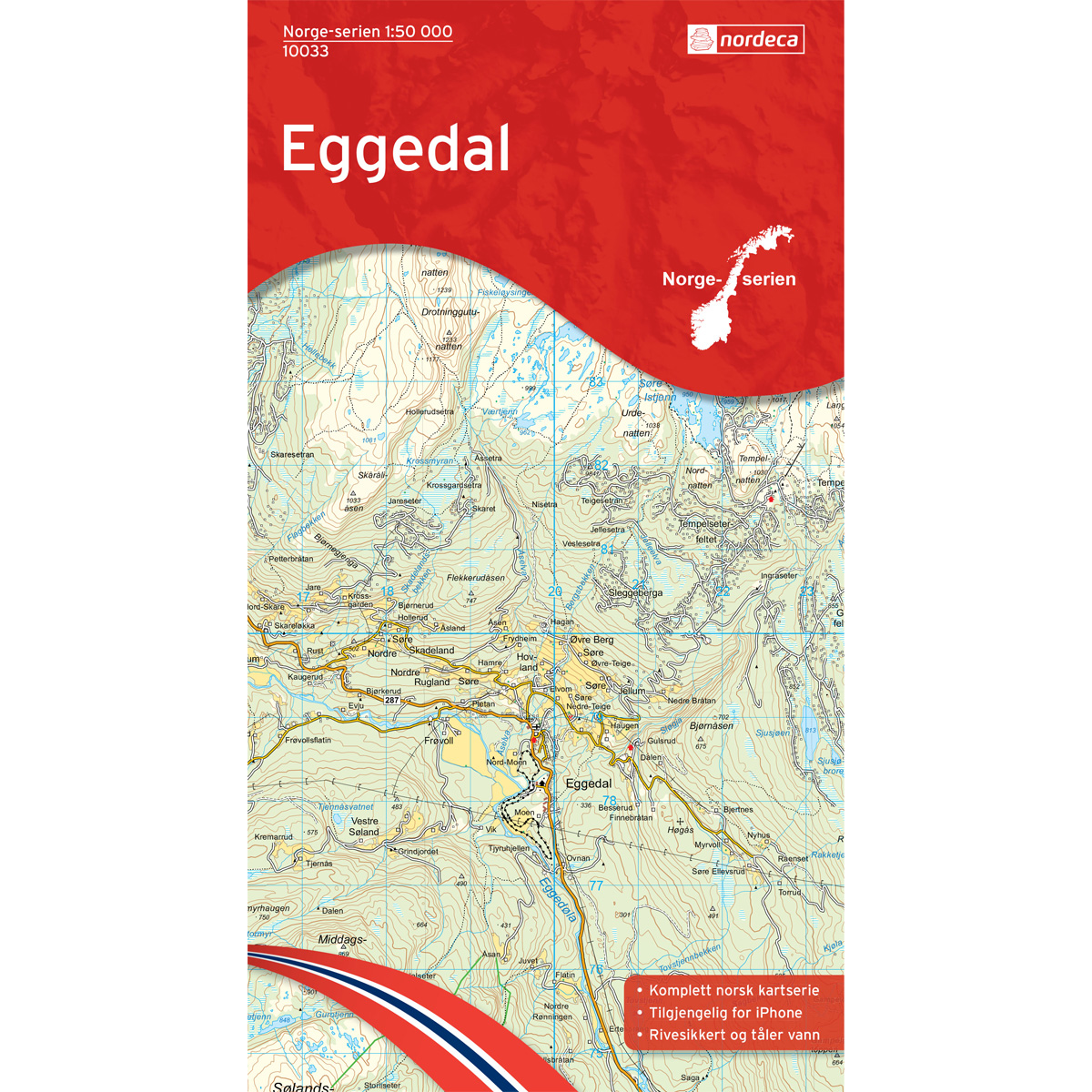
Eggedal Norway Series Hiking Map
Detailed hiking map of Eggedal in the Norway Series – the classic red hiking maps that have been a trusted companion in Norwegian backpacks for generations. The maps are systematically divided with overlaps to adjacent maps, ensuring good continuity when navigating the terrain.
-
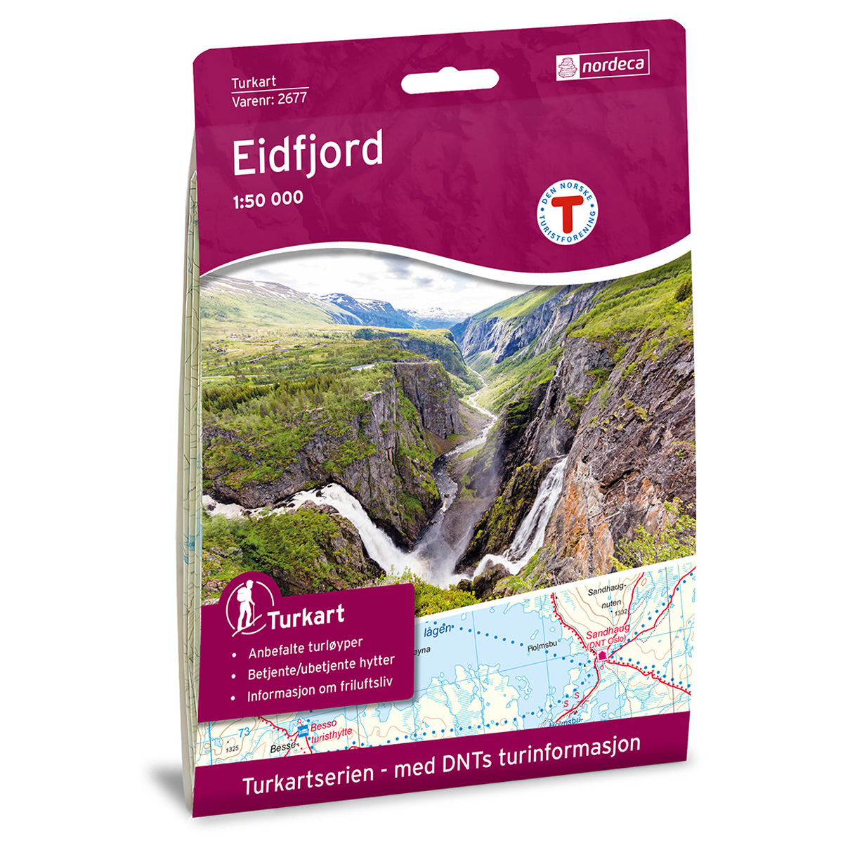
Eidfjord DNT Turkart
Detailed hiking map of Eidfjord, developed by Nordic Maps (formerly Nordeca) in collaboration with Den norske Turistforening. DNT Hiking Maps have been the preferred choice for hikers for decades, known for their excellent readability, thoughtful design, and practical information tailored for active outdoor life.
-
Eidsvollfjellet B6
Map in scale 1:100000 from the Norwegian Polar Institute.
-
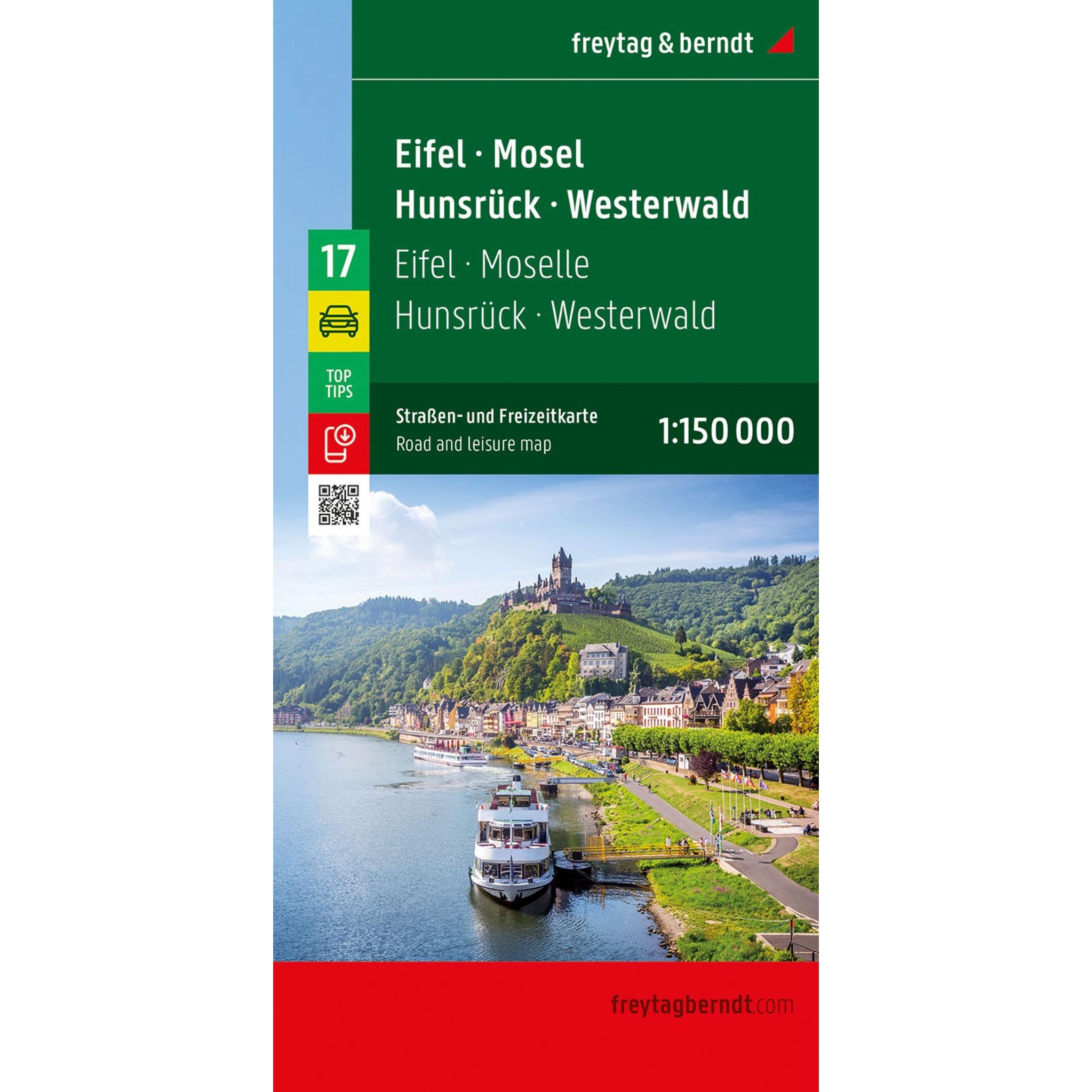
Eifel, Mosel, Hunsrück and Westerwald – road map (multilingual)
Detailed road map of the Eifel, Mosel, Hunsrück and Westerwald with an overview of the road network and tourist information. Suitable for planning and traveling by car. The map provides a good overview of both main roads and smaller routes, and includes campsites and practical information for your journey. The 1:150,000 scale provides a high…
-
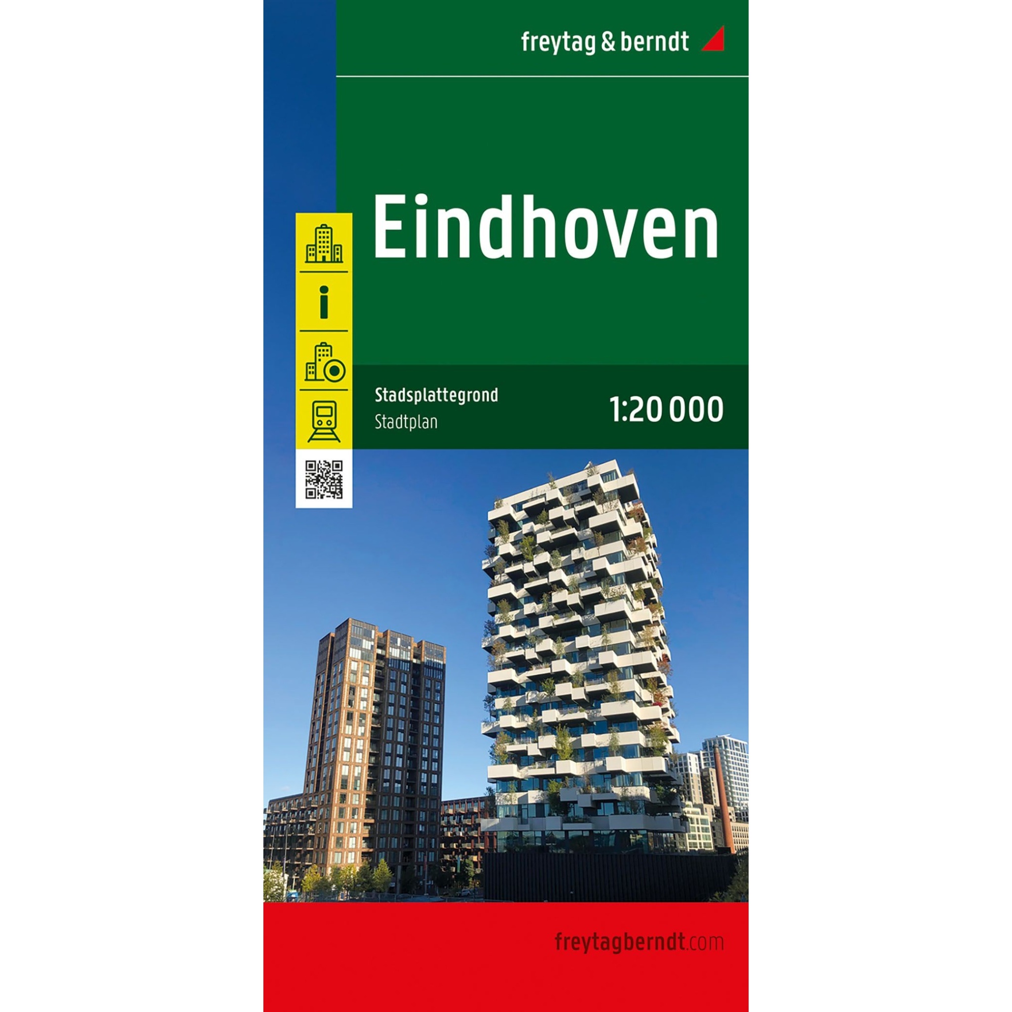
Eindhoven – city map (multilingual)
This city map of Eindhoven is a handy tool for travelers who want a good overview of the city on foot or by public transport. The map shows the entire city at a clear scale, with an extra detailed map of the city center. The street and address index on the back of the map…
-
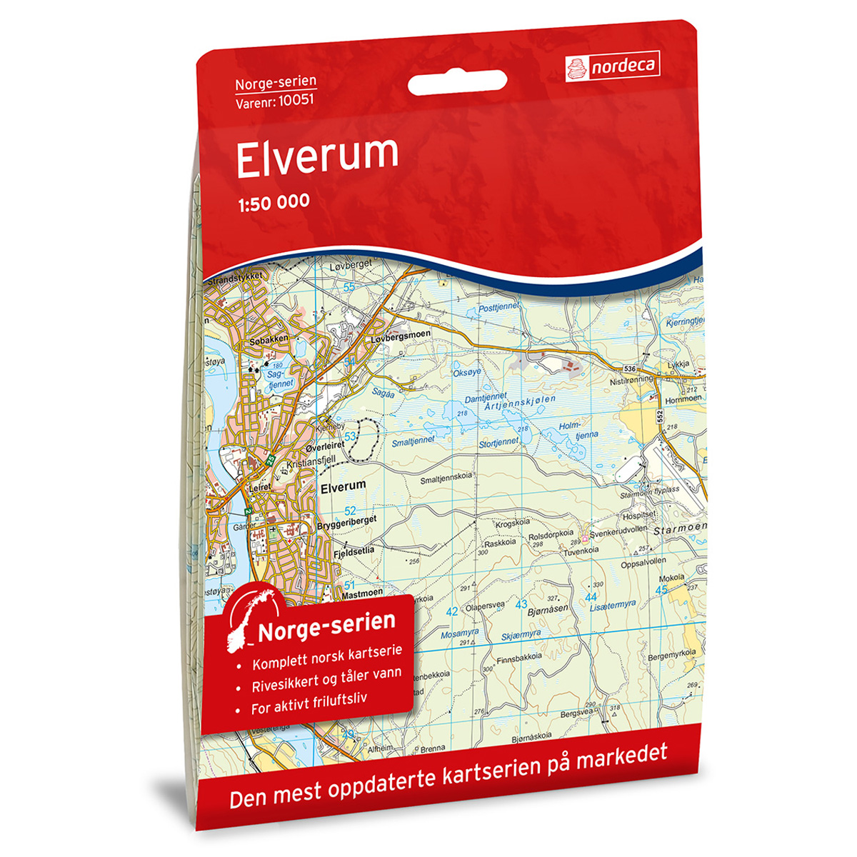
Elverum Norway Series Hiking Map
Detailed hiking map of Elverum in the Norway series – the classic red hiking maps that have been a trusted companion in Norwegian backpacks for generations. The maps are systematically divided with overlap to adjacent maps, providing good continuity as you move through the terrain.
-
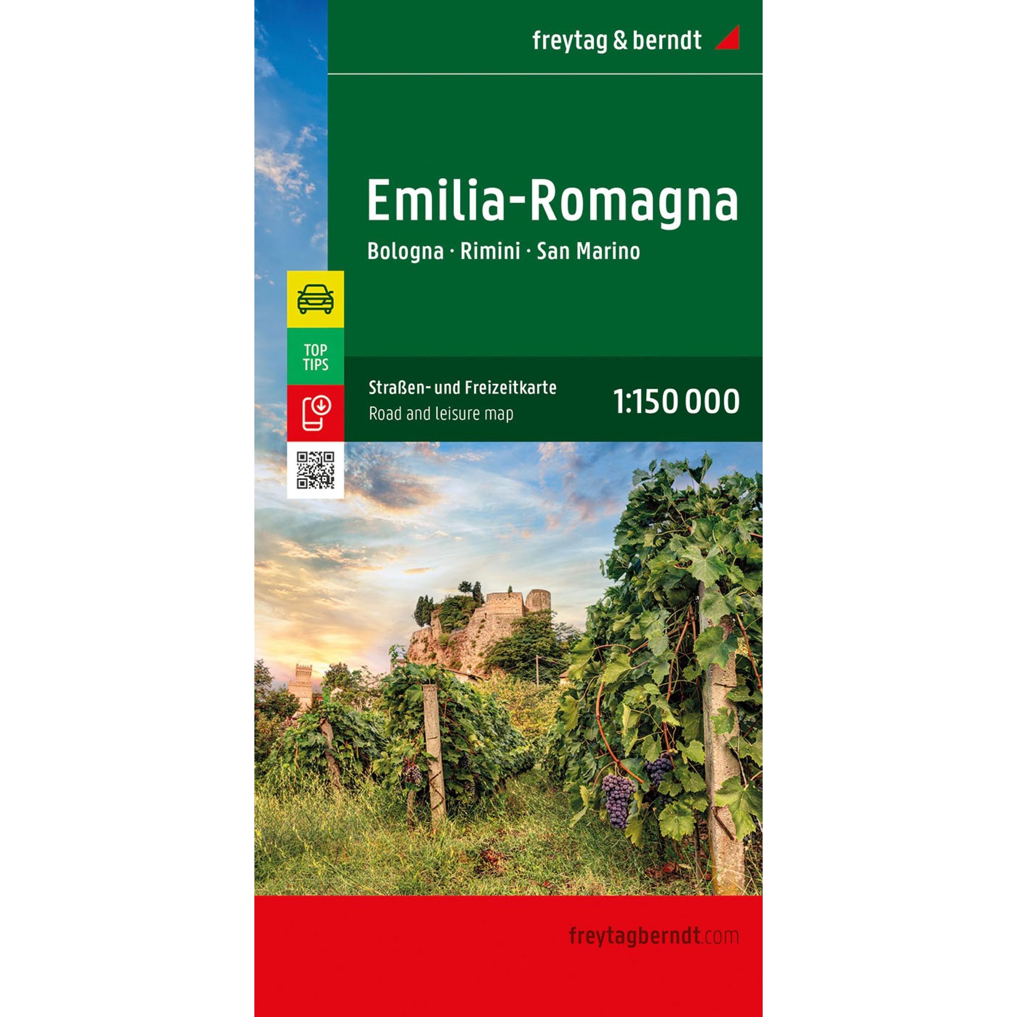
Emilia-Romagna – road map (multilingual)
Detailed road map of Emilia-Romagna with coverage of areas such as Bologna, Rimini and San Marino. Suitable for planning and road travel. The map provides an overview of both main roads and smaller routes, and includes tourist information, campsites and city maps. The scale 1:150,000 provides a high level of detail.
-
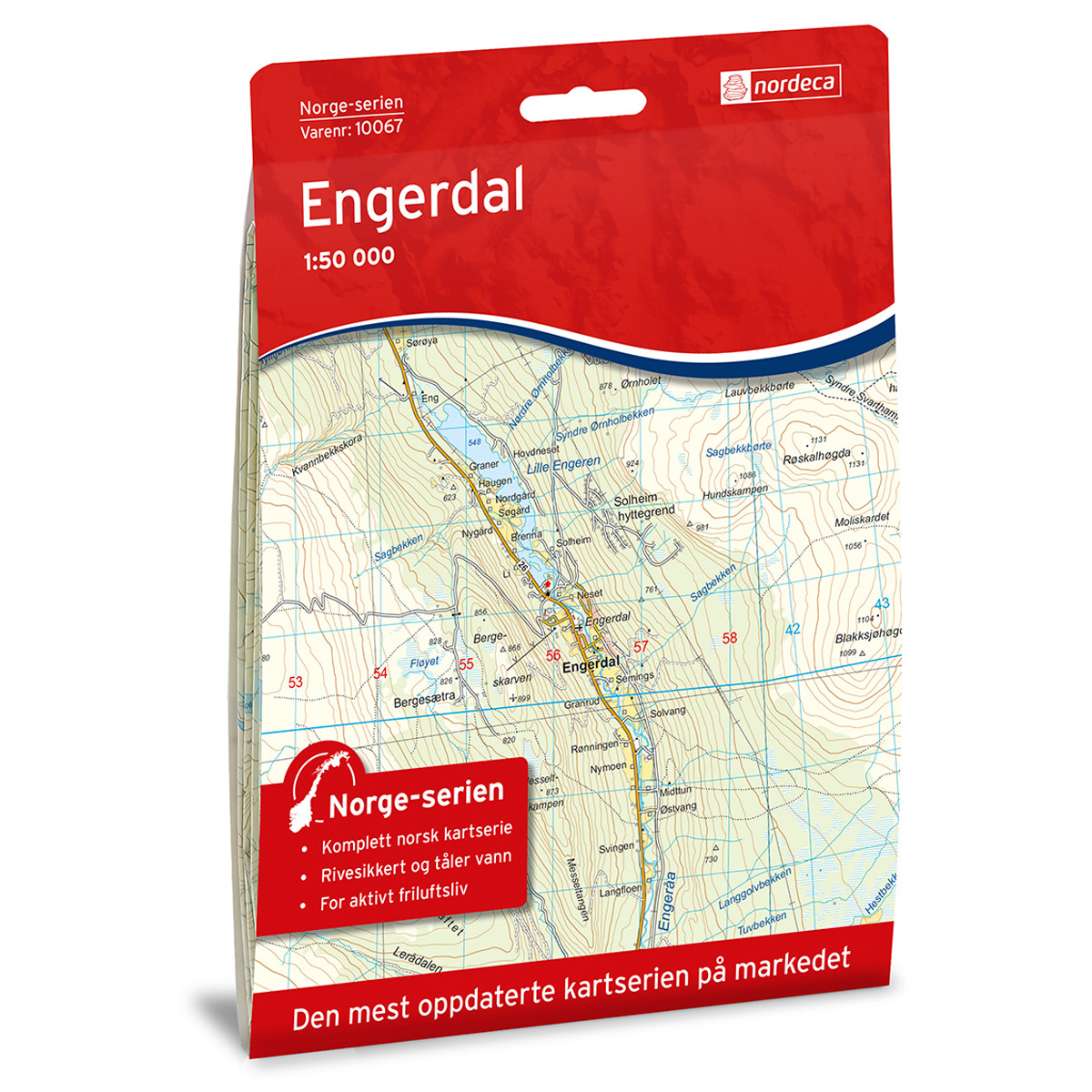
Engerdal Norway Series Hiking Map
Detailed hiking map of Engerdal in the Norway Series – the classic red hiking maps that have been a faithful companion in Norwegian backpacks for generations. The maps are systematically divided with overlaps with adjacent maps, providing seamless continuity as you move through the terrain.
-
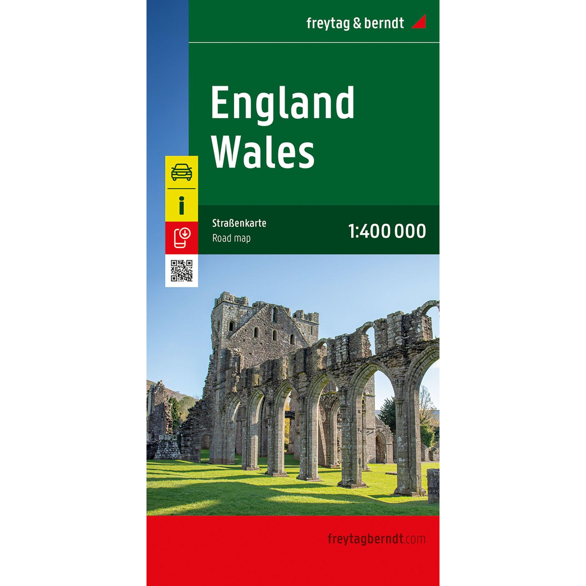
England and Wales – roadmap (multilingual)
Detailed road map of England and Wales with full coverage of the region, including road networks, tourist information and campsites. Suitable for planning and road travel. The map provides a good overview of both main roads and smaller routes, and also includes city maps for easier navigation in larger cities. The 1:400,000 scale provides a…
-
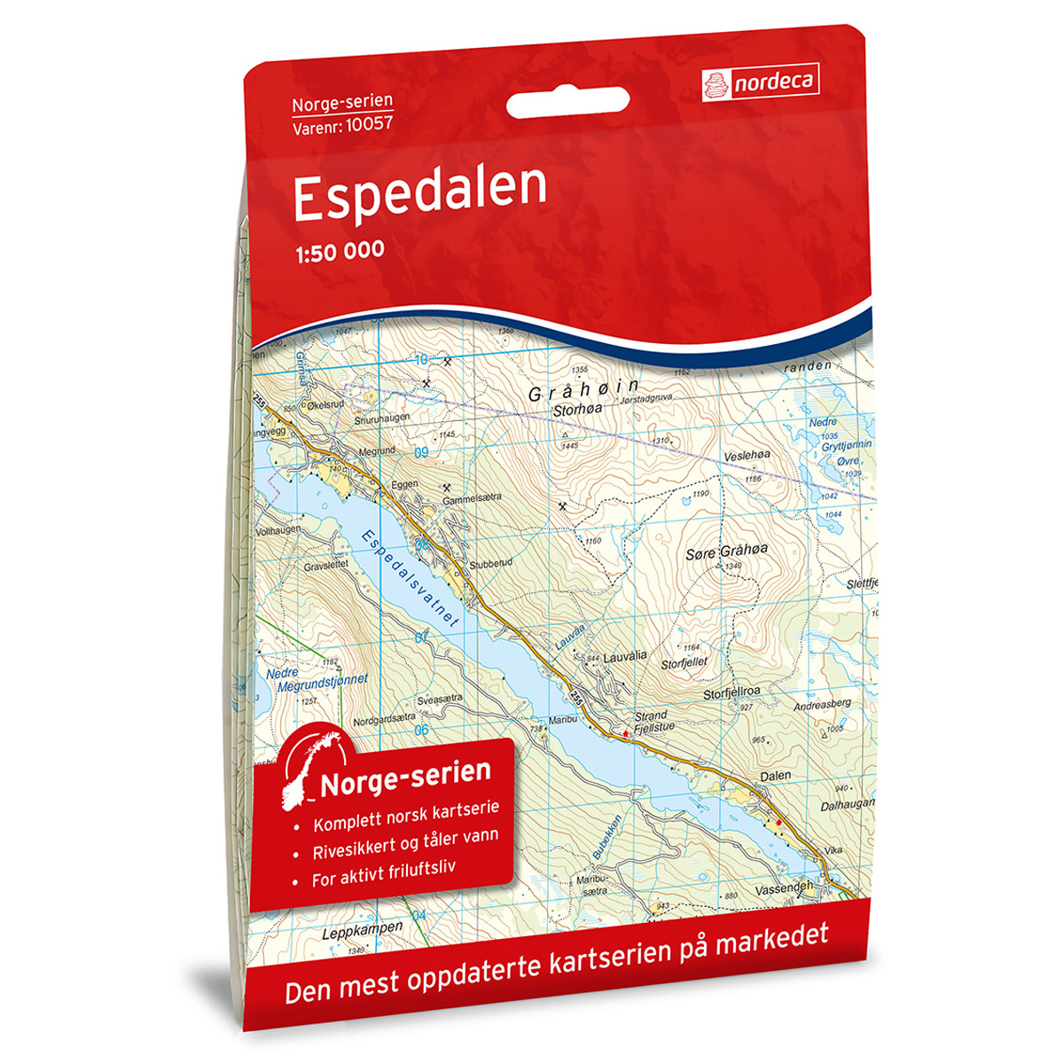
Espedalen Norway Series Hiking Map
Detailed hiking map of Espedalen in the Norway Series – the classic red hiking maps that have been a faithful companion in Norwegian backpacks for generations. The maps are systematically divided with overlaps for adjacent maps, providing excellent continuity as you move through the terrain.
-
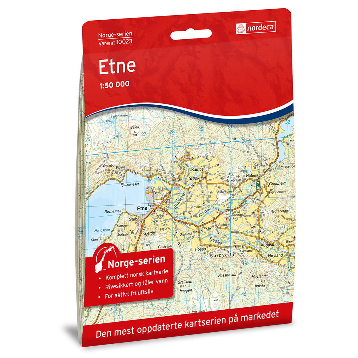
Etne Norway Series Hiking Map
Detailed hiking map of Etne in the Norway Series – the classic red hiking maps that have been a faithful companion in Norwegian backpacks for generations. The maps are systematically divided with overlaps with adjacent maps, providing excellent continuity as you move through the terrain.
-
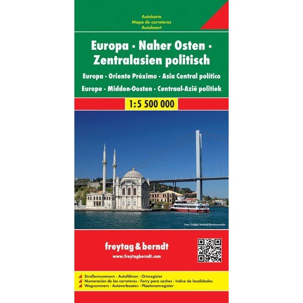
Europe – Middle East – Central Asia – roadmap 1:5 500 000 (multilingual)
Folded road map covering Europe, the Middle East and Central Asia at a scale of 1:5,500,000. Developed for car travel and route planning.
-
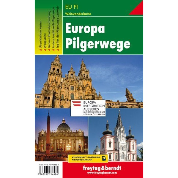
Europe – pilgrimage routes (multilingual)
Clear and thematic walking map of Europe’s main pilgrimage routes, designed for planning, orientation and historical overview. The map shows the major European pilgrimage routes, including the Way of St. James, the Via Francigena and key Marian pilgrimage routes. The map provides an overview of long-distance routes across countries and regions, and is suitable both…
-
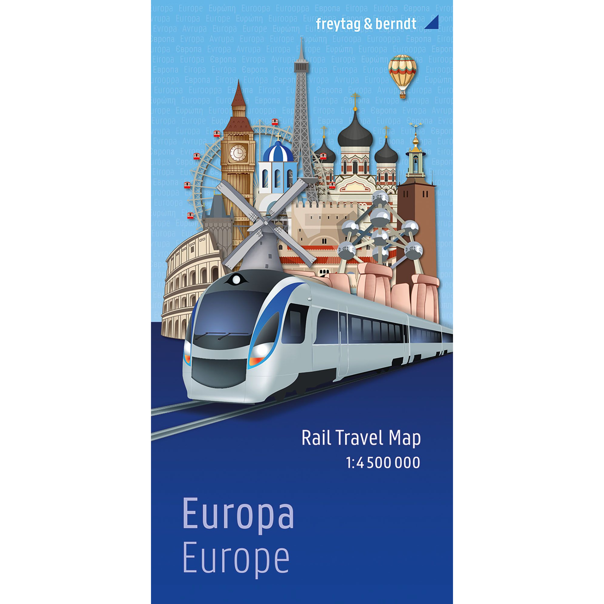
Europe – railway map (multilingual)
Large and clear railway map of Europe with train network, high-speed lines and ferry routes. The map is well suited for planning train journeys and interrail.
-
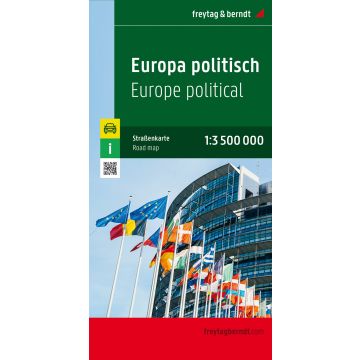
Europe – roadmap (multilingual)
Folded road map of Europe at a scale of 1:3,500,000, suitable for car and travel planning. The map features multilingual place names and a detailed road network.
-
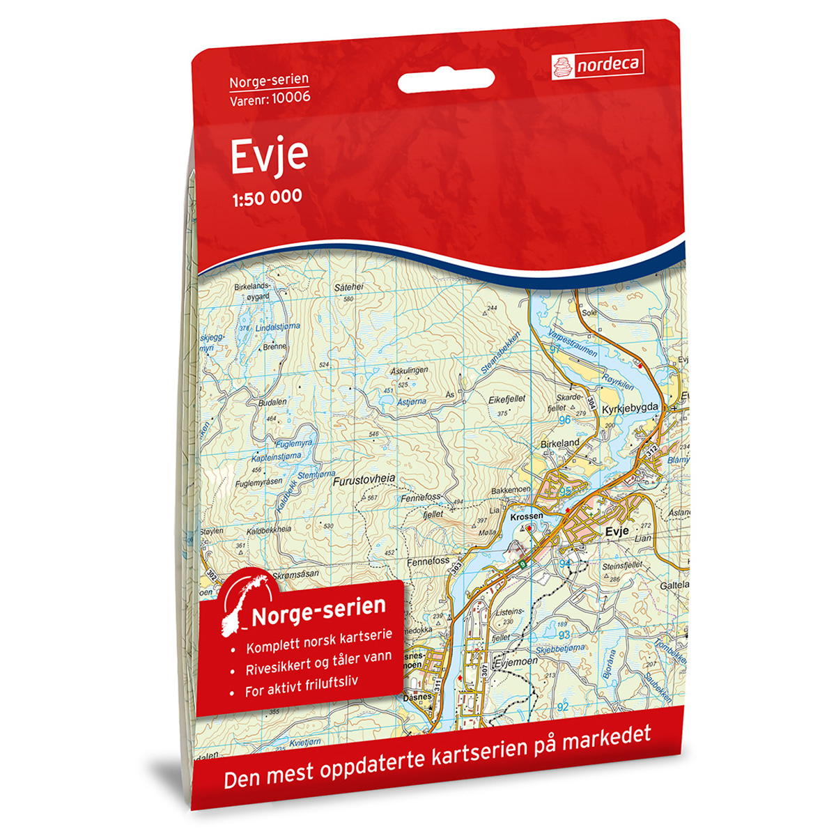
Evje Norge-serien Hiking Map
Detailed hiking map of Evje in the Norge-serien – the classic red hiking maps that have been a trusted companion in Norwegian backpacks for several generations. The maps are systematically divided with overlap to adjacent maps, providing good continuity as you move through the terrain.
-
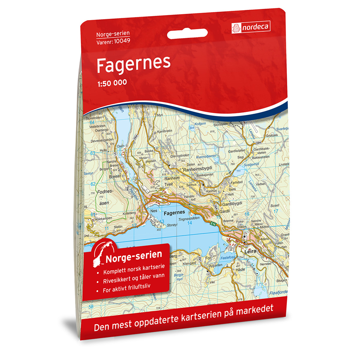
Fagernes Norway Series Hiking Map
Detailed hiking map of Fagernes in the Norway series – the classic red hiking maps that have been a trusted companion in Norwegian backpacks for generations. The maps are systematically divided with overlap to adjacent maps, providing good continuity as you move through the terrain.
-
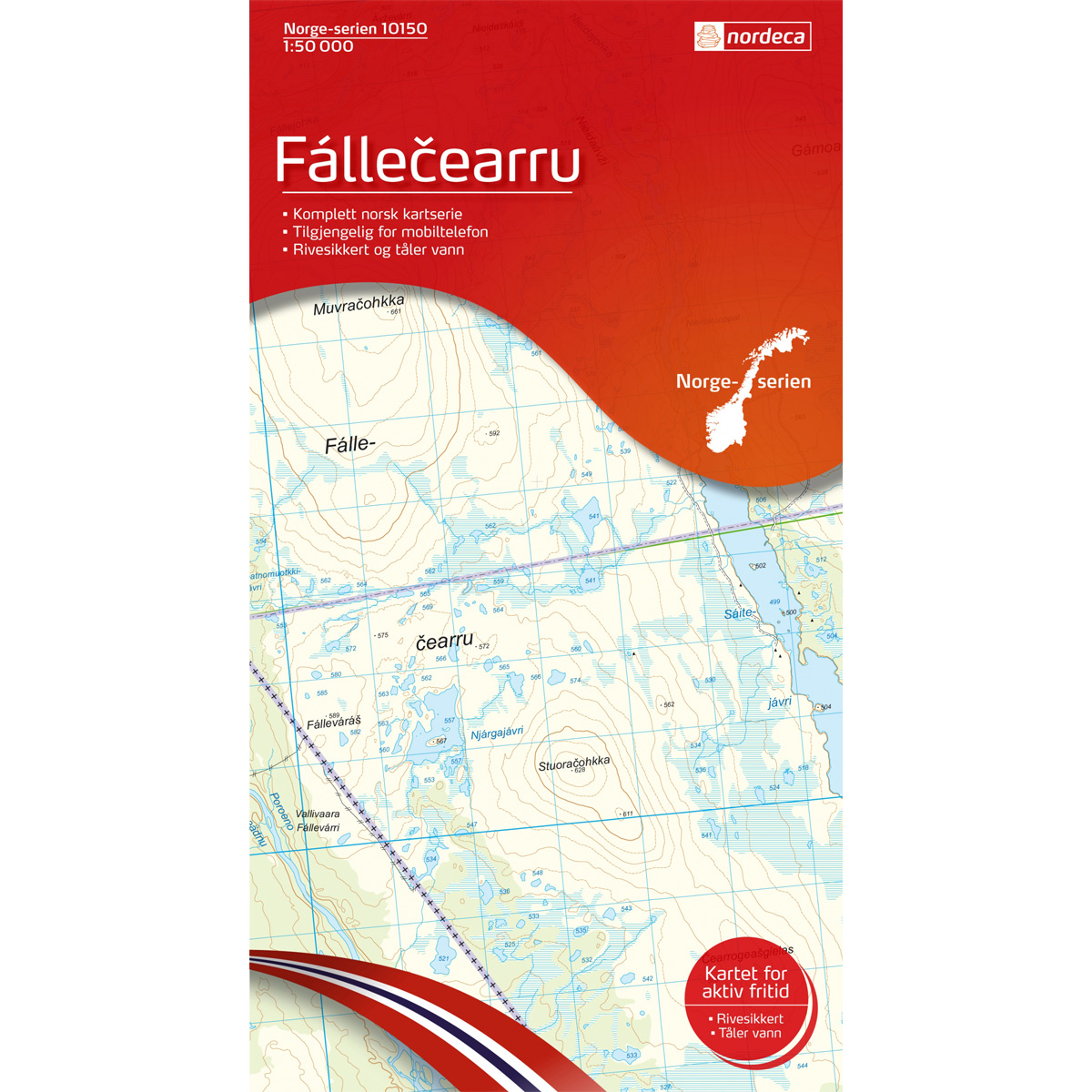
Fallecearru Norway Series Hiking Map
Detailed hiking map of Fallecearru in the Norway series – the classic red hiking maps that have been a trusted companion in Norwegian backpacks for several generations. The maps are systematically divided with overlap to adjacent maps, providing good continuity as you move through the terrain.
-
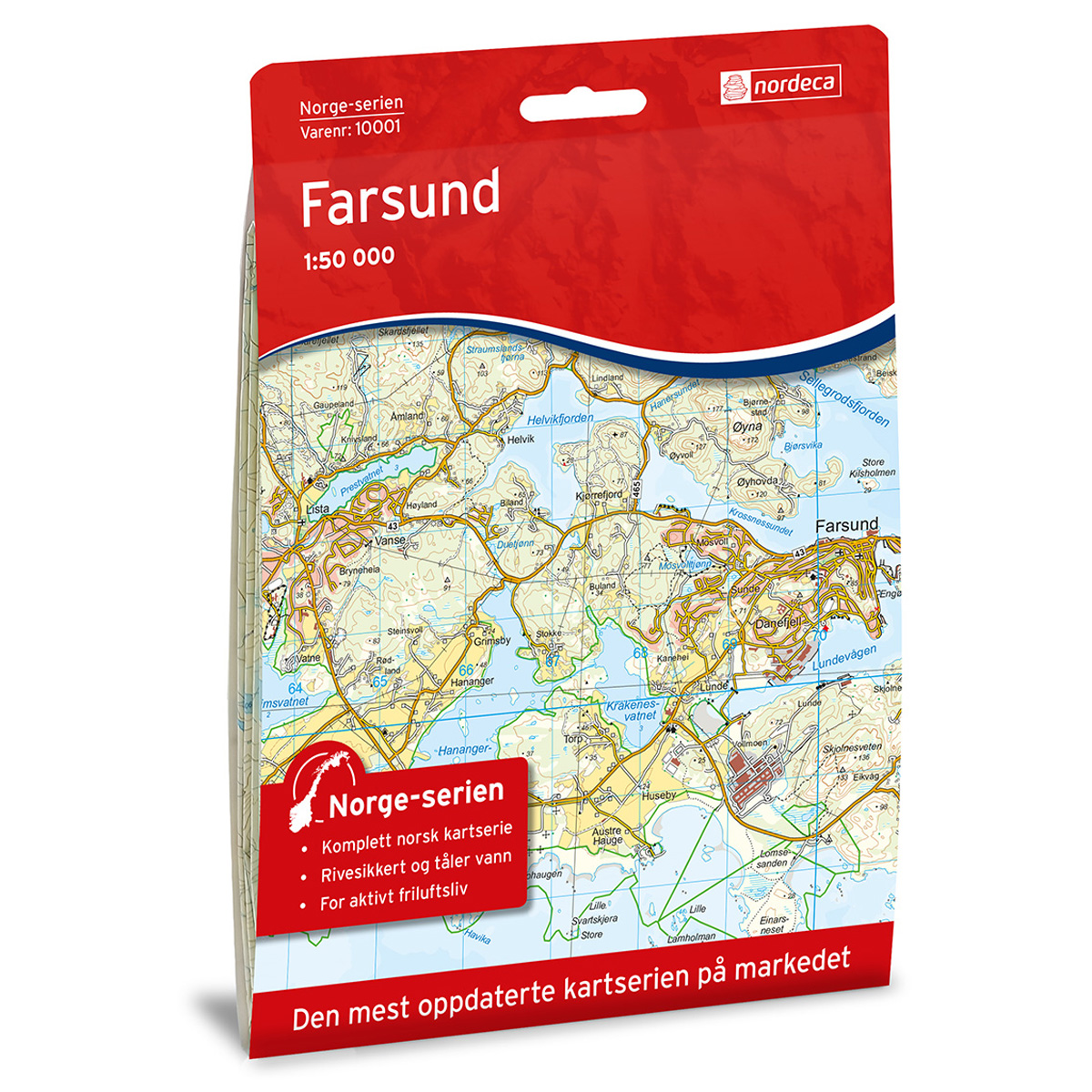
Farsund Norway Series Hiking Map
Detailed hiking map of Farsund in the Norway Series – the classic red hiking maps that have been a trusted companion in Norwegian backpacks for generations. The maps are systematically divided with overlap to adjacent maps, ensuring good continuity as you move through the terrain.
-
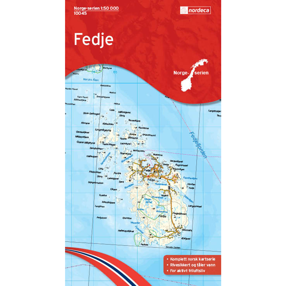
Fedje Norway Series Hiking Map
Detailed hiking map of Fedje in the Norway Series – the classic red hiking maps that have been a faithful companion in Norwegian backpacks for generations. The maps are systematically divided with overlaps with adjacent maps, providing seamless continuity as you move through the terrain.